
Mount Douglas hike
View Photos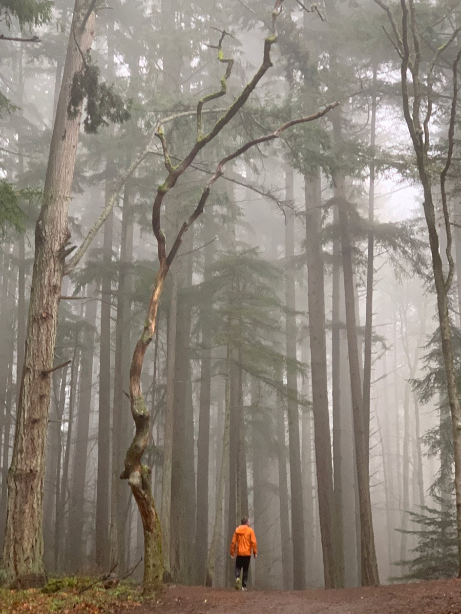
Mount Douglas hike
Difficulty Rating:
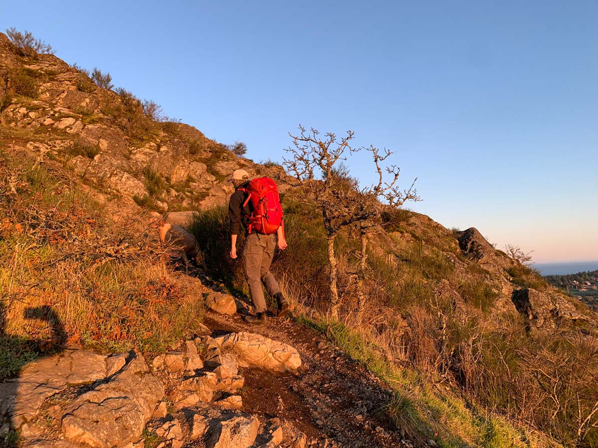
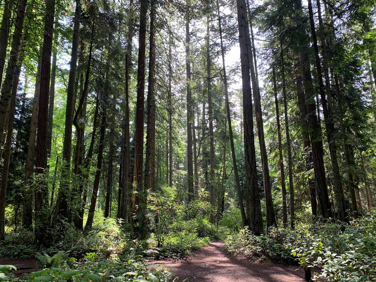
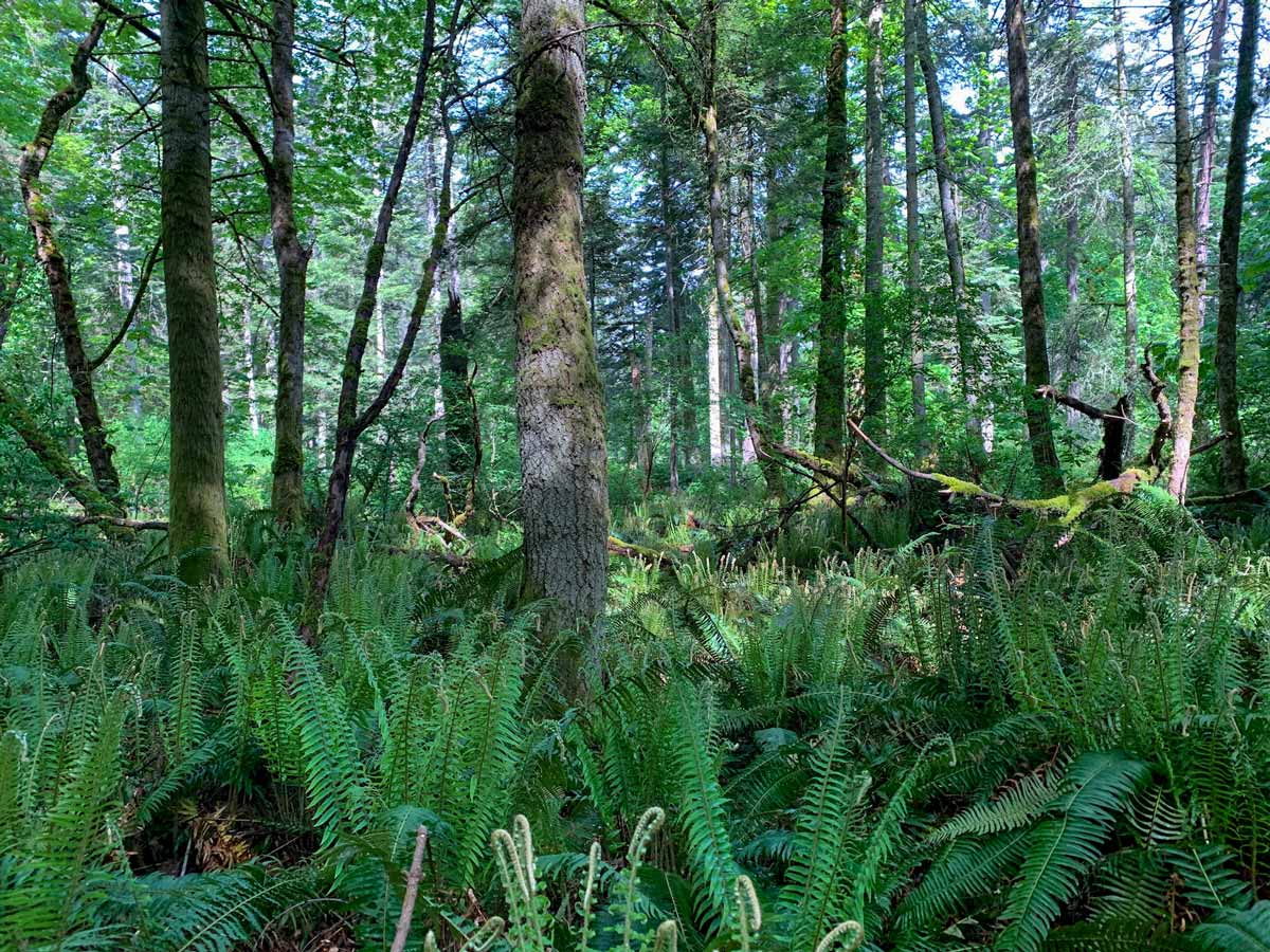
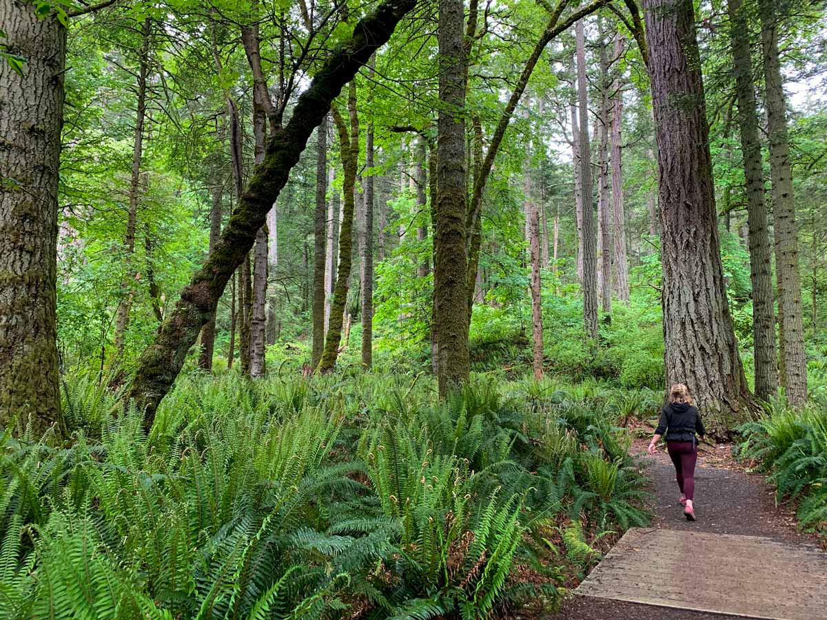
The Mount Douglas, also known as Mount Doug, will undoubtedly have you sweating, making it the ideal getaway from the city for those seeking adventure and a workout. Families with older children tend to flock to this area as well! Just be ready for the final steep climb to reach the pinnacle.
Getting there
Park along Cedar Hill Road, just north of Elnido Road.

About
| When to do | All year long |
| Backcountry Campsites | No |
| Pets allowed | Yes - On Leash |
| Family friendly | Older Children only |
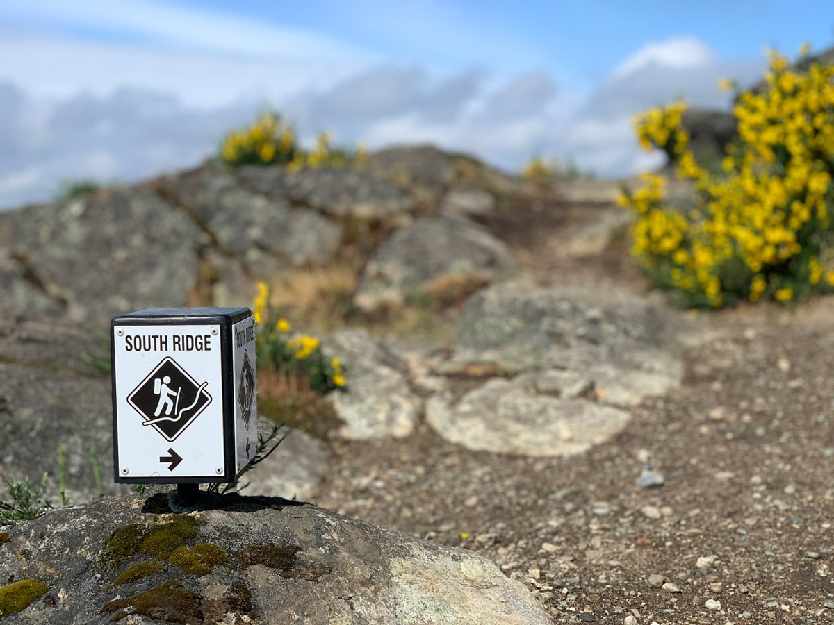
| Route Signage | Average |
| Crowd Levels | Moderate |
| Route Type | Circuit |
Mount Douglas
Elevation Graph
Weather
Route Description for Mount Douglas
This route is not the most direct route, but it allows a rout that goes completely around Mount Doug and has a different ascent and descent.
The Mount Doug hike begins along Irvine Trail, and shortly after starting, you’ll reach a junction. Turn left onto Whittaker Trail. Continue walking until you reach another intersection, where you’ll go left to stay on Whittaker Trail.
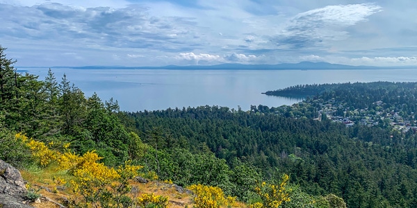
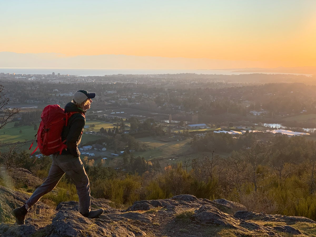
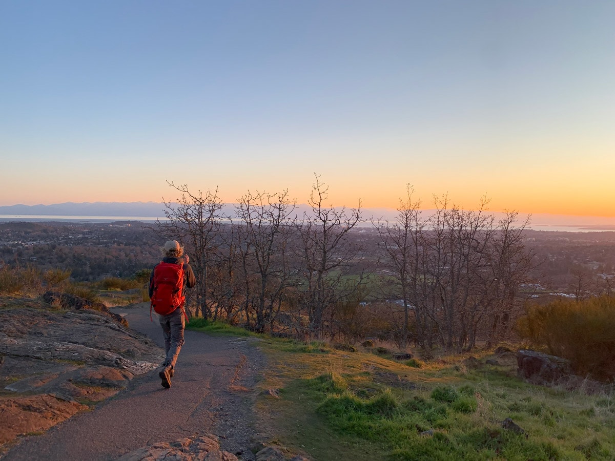
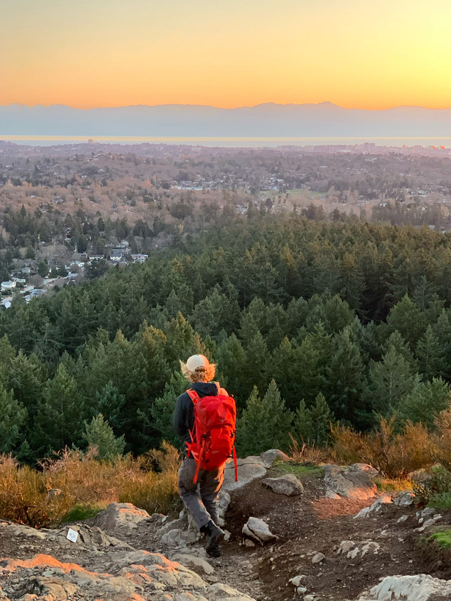
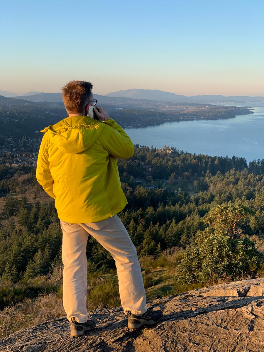
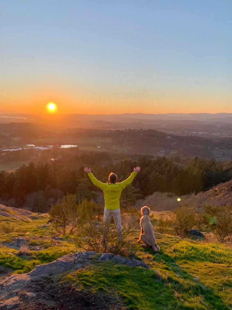
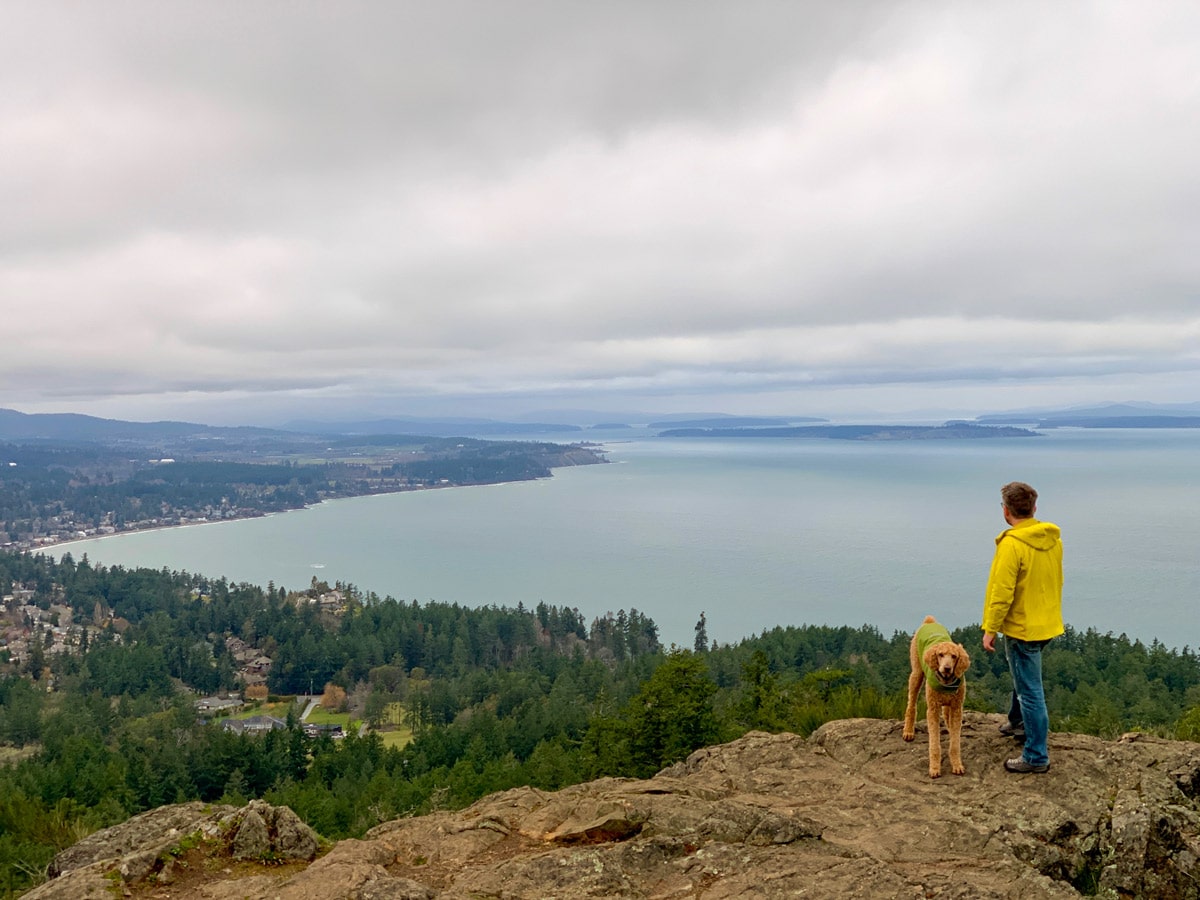
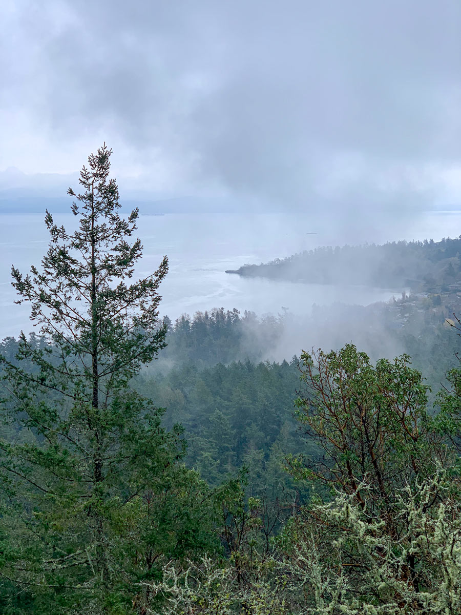
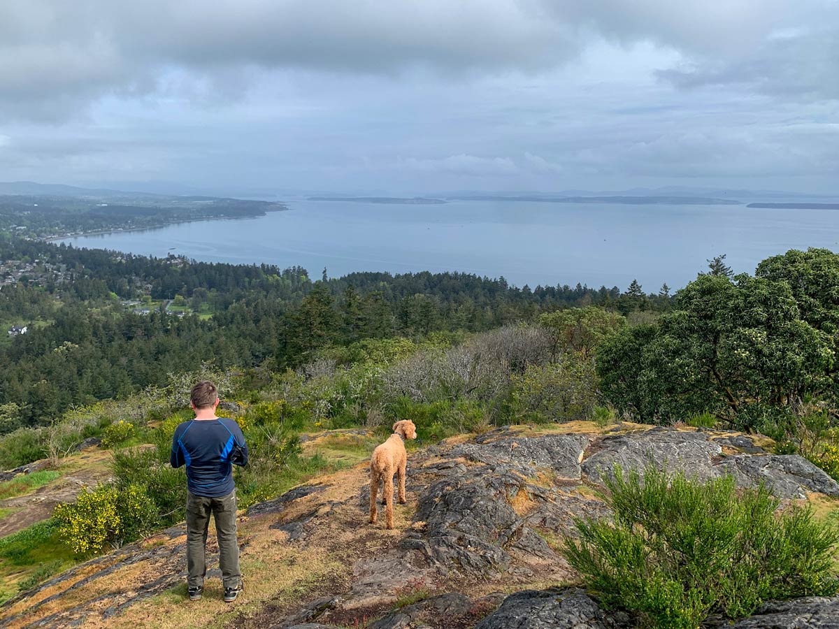
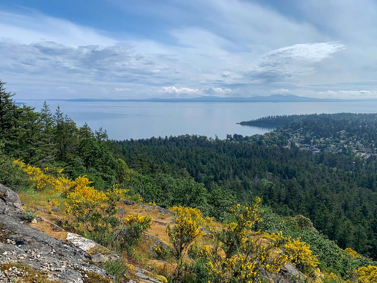
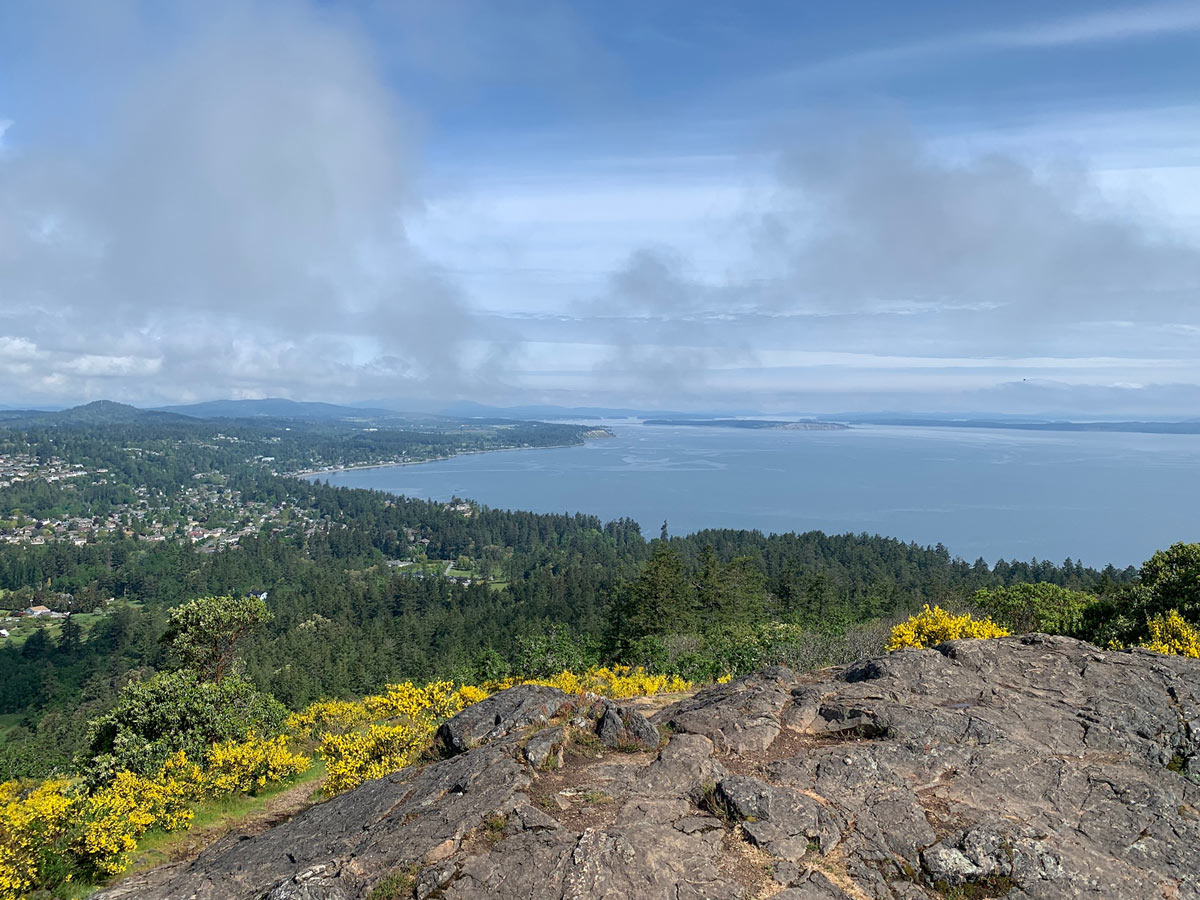
At the next intersection, go right. You’ll walk along the Whittaker Trail for quite some time until another junction asks you to turn right onto Norn Trail. Follow Norn Trail until you reach Irvine Trail, where you’ll take a right. Eventually, the path will take you to the Mt Douglas Summit Parking Lot, which is at the end of Churchill Drive. Follow the trail from here to the Mt Doug Lookout Point. You have great views in all directions from the top of Mount Doug.
After you take in the views from the top of Mount Doug, return on the same path to the Mt Douglas Parking Lot before taking a different route that is more direct back to your car. Start out on the Irvine Trail, but note that when the trail turns left to continue onto Irvine Trail, you need to go straight. The path will then crossover South Ridge Trail and meet up with Harrop. Turn left onto Harrop. Eventually, you’ll reach a junction that asks you to stay on Harrop or go right. Take a right and walk until you meet up Whittaker Trail, which will take you back to the parking lot.
Insider Hints
This park may be well-marked, but consider printing off a map before you go since the trail can be confusing.

Similar hikes to the Mount Douglas hike
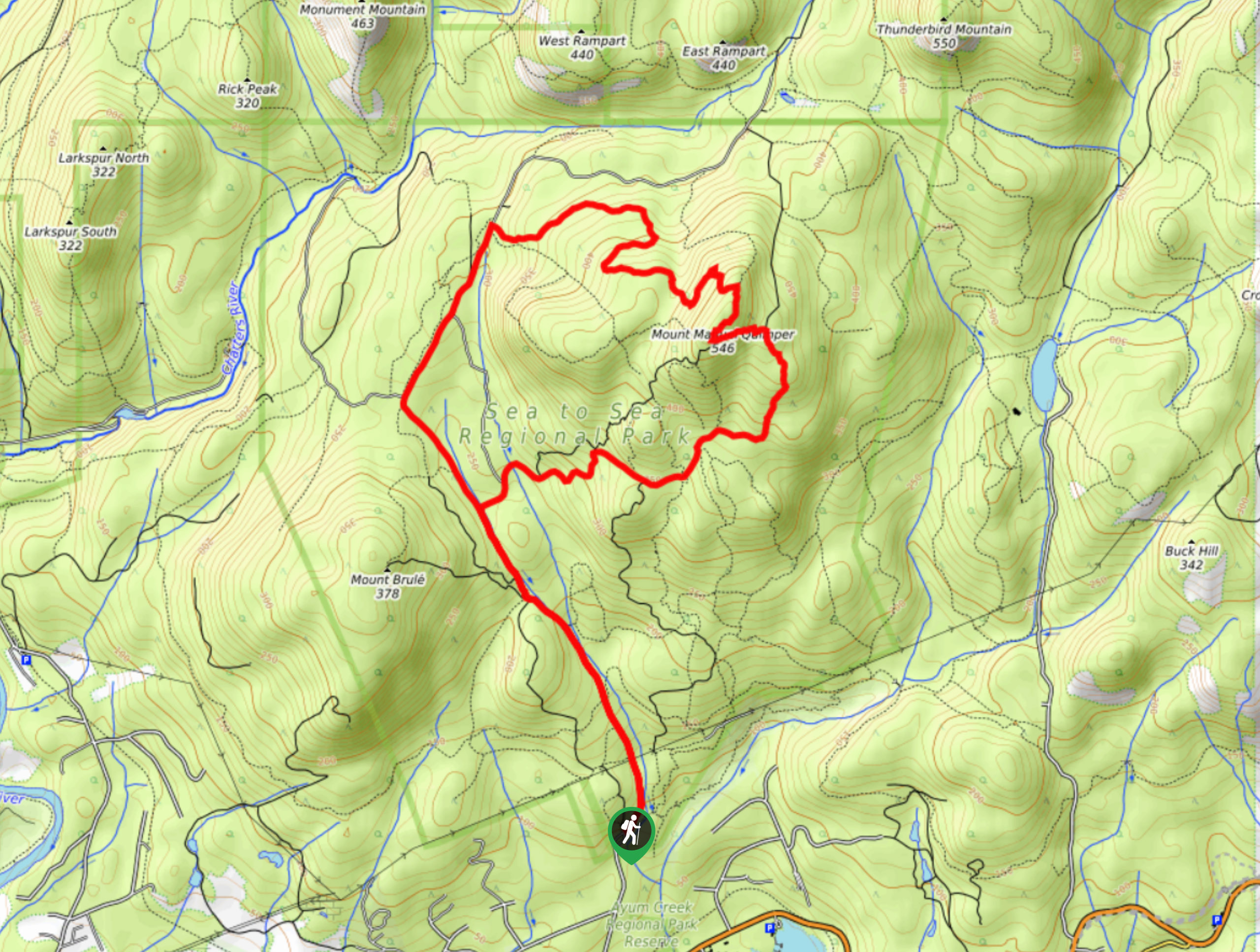
Mount Manuel Quimper Trail
The trek to Mount Manuel Quimper is a 6.2mi lollipop hiking route that climbs uphill through the forest…
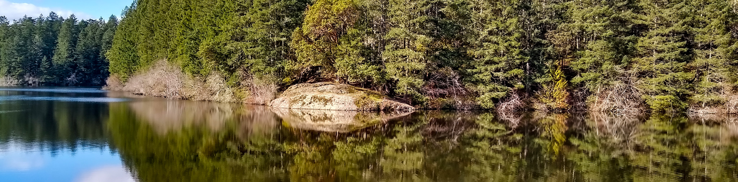
Prior and Thetis Lakes Loop Hike
The Prior and Thetis Lake Loop will take you along an 5.0mi lollipop hiking route through a beautifully…
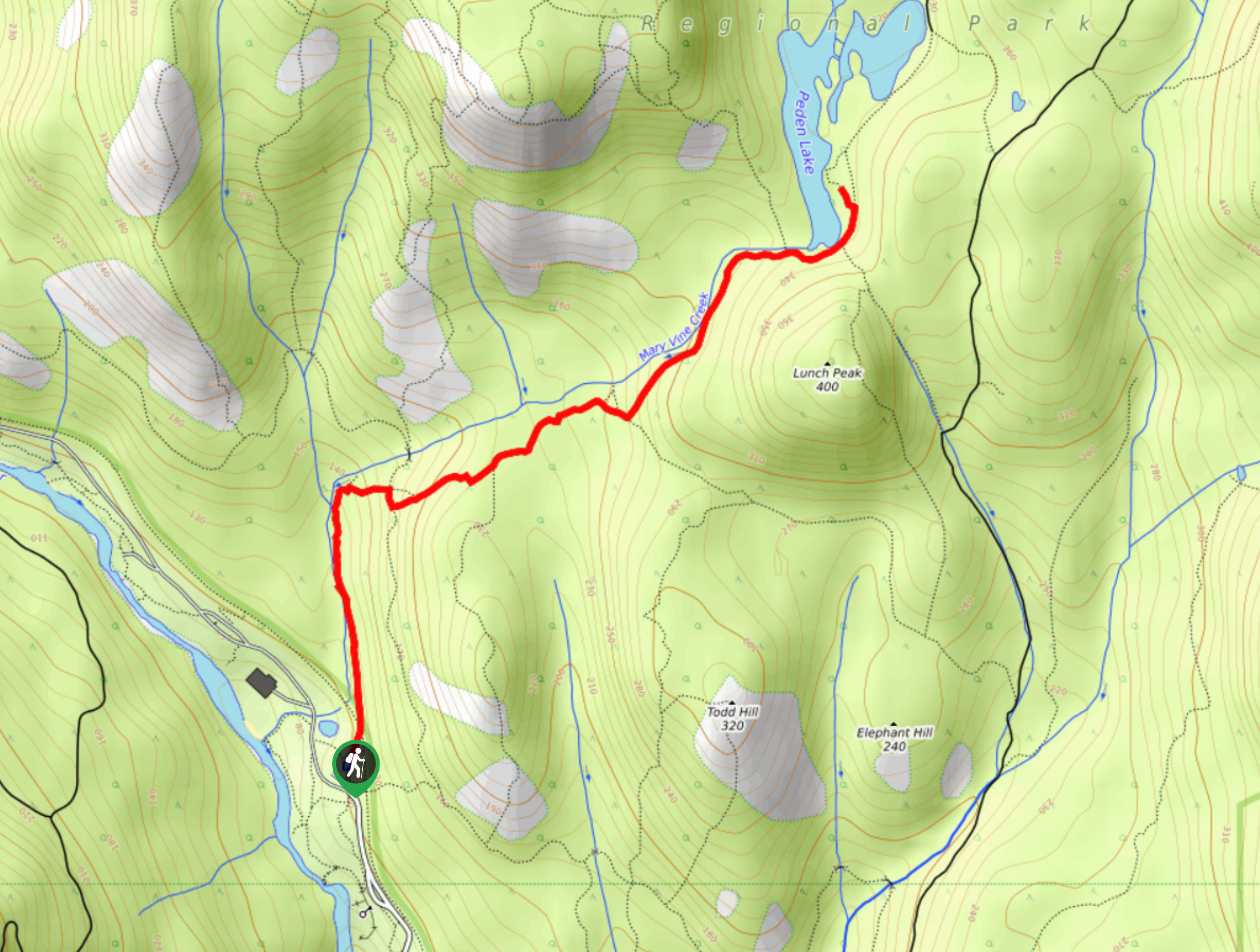
Peden Lake via Mary Vine Trail
Peden Lake via the Mary Vine Trail is a 3.2mi out-and-back hiking route in the Seas to Sea…
Florian L. 4 years ago
Enchanting views at the top. Most people go for the views at the peak but if you are able to hike some of the trails you'll enjoy the forest along the way. This is a great place to visit for all levels of hikers.
Jude L. 5 years ago
Cool hike. This trail just takes you on a leisure walk along various trails before reaching the top of Mount Douglas.
Lennon Fitz 5 years ago
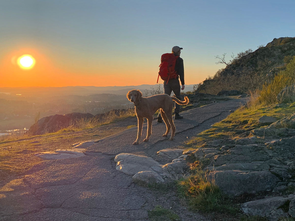
The sunset here are so dramatic. A great place for lost souls.
Niamh Gorget 5 years ago
Incredible hike that has so much to offer! There are easy parking and hikes for all levels. Flat hikes and a full mountain hike, etc.
Kalebhg 5 years ago
Trekking here is a wonderful experience.
bigheartwanders 5 years ago
This hike has a rare appeal, talking about beauty of nature here. Overlooking views are bewitching.
aeropanda 5 years ago
Great, though it was short. Lots of trails, and the views are majestic.
Peter Scanfell 5 years ago
Everything is great and easy, the final uphill ascend was the most challenging part.
wenzelhd 5 years ago
The panoramic views are satisfying! It filled my heart with so much happiness.
Teddy Lumber 5 years ago
Nice easy trail. Suitable for everyone. Lots of scenic views. I just love this hike.