
Mount Manuel Quimper Trail
View Photos
Mount Manuel Quimper Trail
Difficulty Rating:
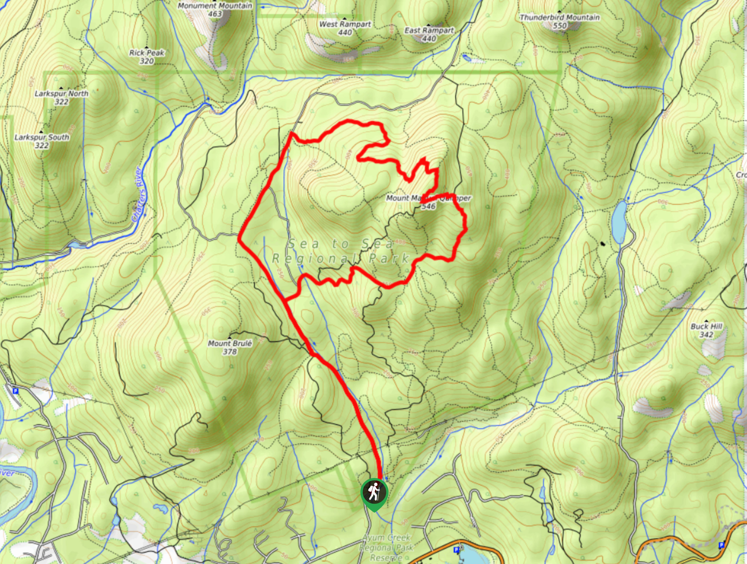
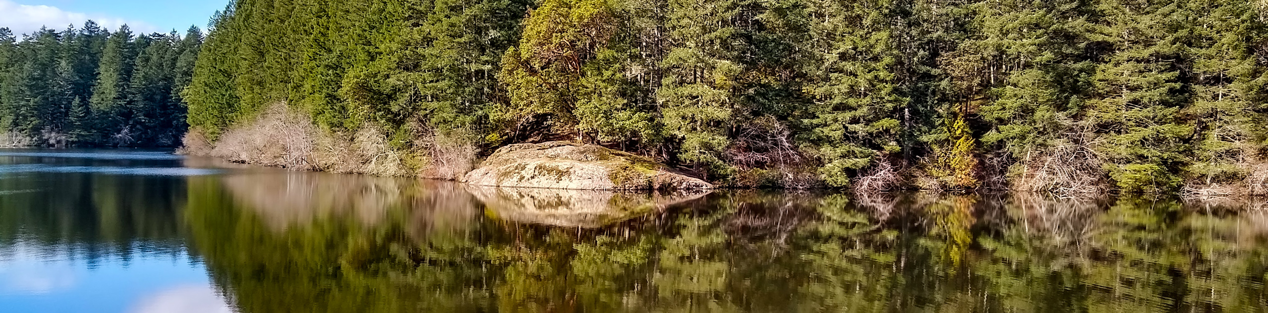
The trek to Mount Manuel Quimper is a 6.2mi lollipop hiking route that climbs uphill through the forest to reach a scenic vantage point at the top of the mountain. Along the trail, hikers will experience a tranquil forest setting and picturesque views that look to the south across the blue waters of the Sooke Inlet. With a moderate incline and well-maintained trail, this route is a perfect fit for both casual and experienced hikers alike.
Getting there
To reach the Mount Manuel Quimper trailhead from Langford, head south on BC-14 for 1.4mi and turn right onto the Juan de Fuca Highway. Continue on for 10.7mi and turn right onto Harbourview Road. In 2461ft, you will arrive at the parking area.

About
| When to do | May-October |
| Backcountry Campsites | No |
| Pets allowed | Yes - On Leash |
| Family friendly | Older Children only |
| Route Signage | Average |
| Crowd Levels | Moderate |
| Route Type | Lollipop |
Mount Manuel Quimper Trail
Elevation Graph
Weather
Mount Manuel Quimper Trail Description
The Mount Manuel Quimper Trail offers a lot in the way of scenic vistas with picturesque views and little in the way of challenging terrain, making this an ideal hiking route for casual hikers looking for an intermediate length trail. Setting out from the trailhead, you will initially follow along a very well-maintained gravel path to the north before splitting off to the east on a route towards the summit of Mount Manuel Quimper. From here, you will crossover several streams and begin a gradual climb uphill that will produce some amazing views over the surrounding area. Once you reach the summit, you will have an awesome sightline south across the Sooke Inlet and east towards Victoria. After wrapping up your time at the summit, follow the trail as it loops around the backside of the mountain and descends towards the main trail. Follow this back through the forest to return to the parking area.
Similar hikes to the Mount Manuel Quimper Trail hike
Prior and Thetis Lakes Loop Hike
The Prior and Thetis Lake Loop will take you along an 5.0mi lollipop hiking route through a beautifully…
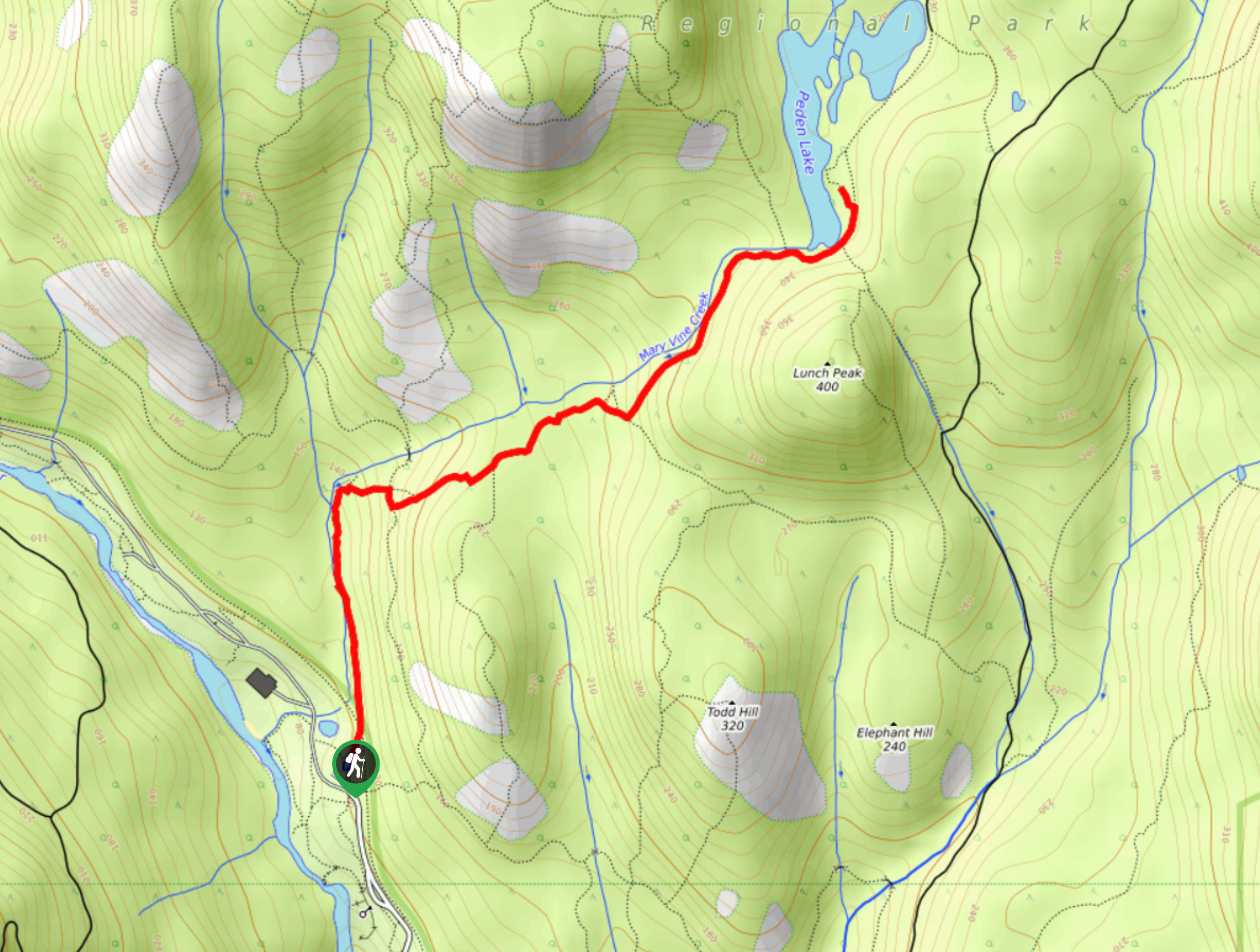
Peden Lake via Mary Vine Trail
Peden Lake via the Mary Vine Trail is a 3.2mi out-and-back hiking route in the Seas to Sea…
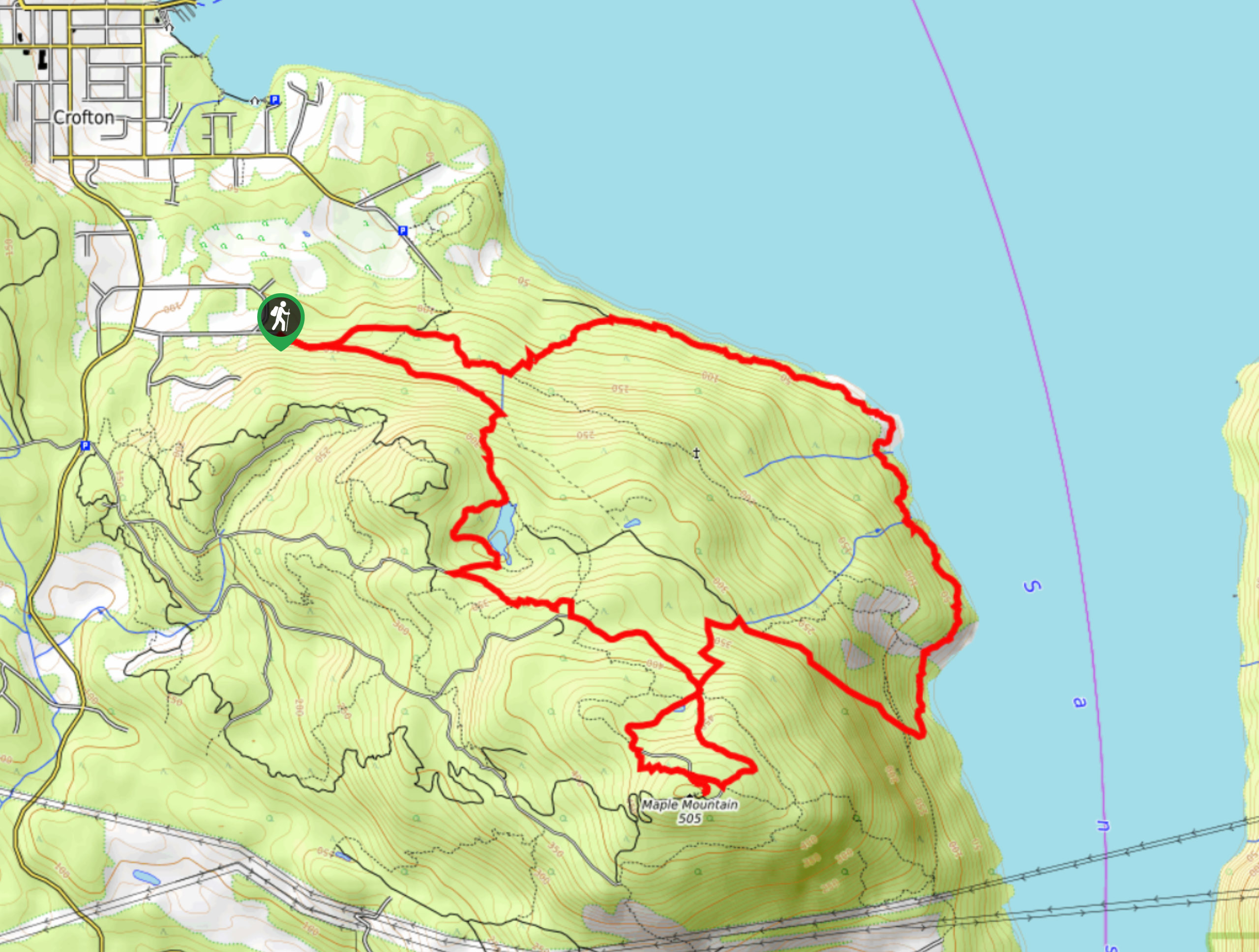
Maple Mountain Hike
The Maple Mountain trail is a 10.4mi lollipop hiking route that will take you on a forested route…
Comments