
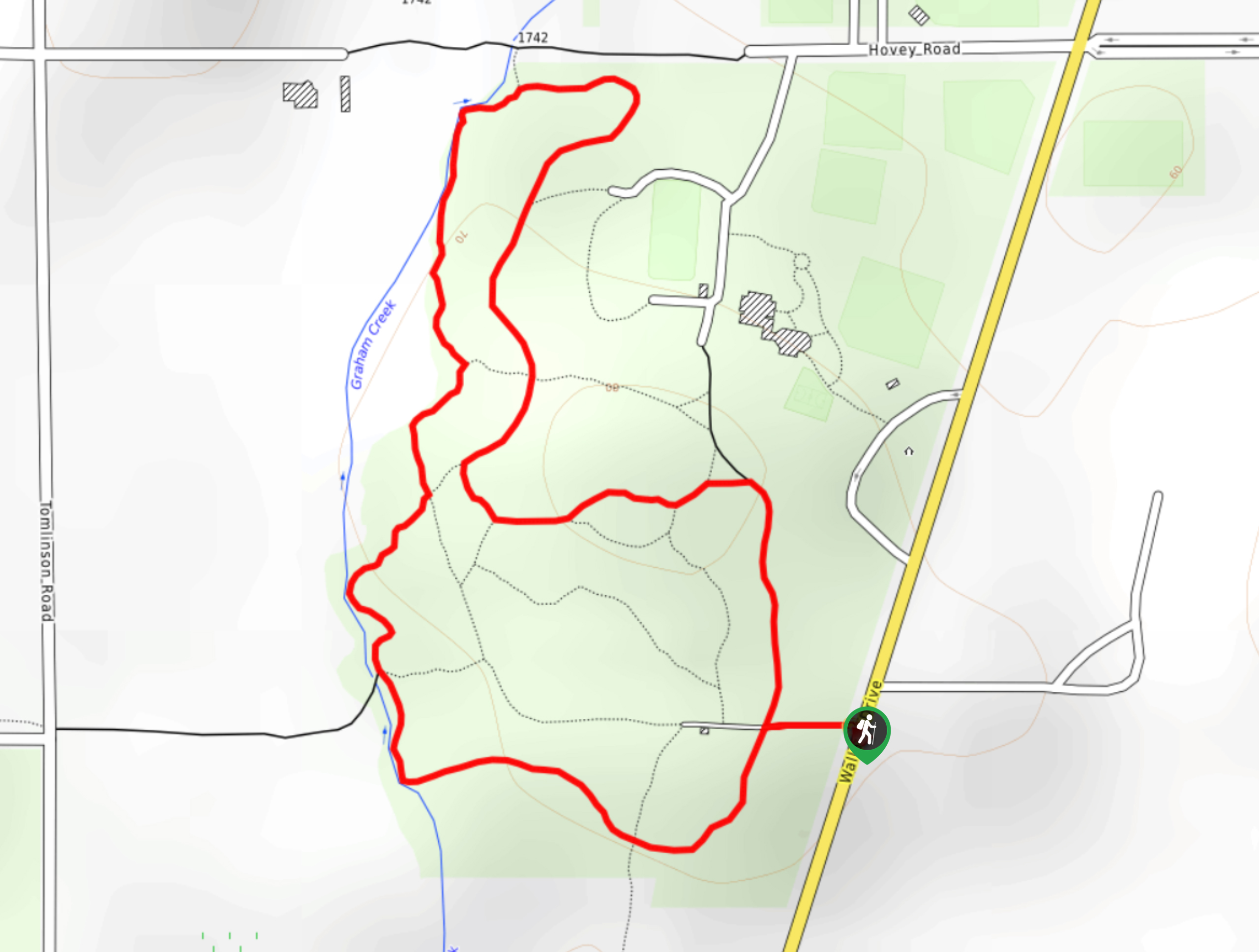
Centennial Park Loop Hike
View Photos
Centennial Park Loop Hike
Difficulty Rating:
The Centennial Park Loop is a 1.0mi lollipop hiking route north of Victoria, BC, that travels through an amazing stretch of old-growth forest. With well-maintained, wide gravel pathways and plenty of side trails to explore, this trail is perfect for a quick outing with the entire family. Make sure to keep an eye out on the trail and keep off to the side, as this route is also used by horseback riders that may need to work past you as they trot through the forest.
Getting there
To reach the Centennial Park Loop trailhead from Brentwood Bay, drive northeast along Wallace Drive for 1.6mi and turn left to arrive at the parking area.

About
| When to do | Year-Round |
| Backcountry Campsites | No |
| Pets allowed | Yes |
| Family friendly | Yes |
| Route Signage | Average |
| Crowd Levels | Moderate |
| Route Type | Lollipop |
Centennial Park Loop Hike
Elevation Graph
Weather
Centennial Park Trail Description
Hiking the Centennial Park Loop is the perfect family-friendly activity to get everyone outside and enjoying the natural beauty of Victoria Island without straying too far from the city. This trail is just one of the several hiking routes that can be found in Centennial park and offers an abundance of side trails for you and the family to go exploring. Additionally, the West Coast temperate rainforest terrain is the ideal setting to learn about this fascinating environment through the different species of plant and animal life that can be found here. With so many different ways to explore the park, there is no reason why the Centennial Park Loop shouldn’t be your next outdoor adventure in the Victoria area.
Similar hikes to the Centennial Park Loop Hike hike
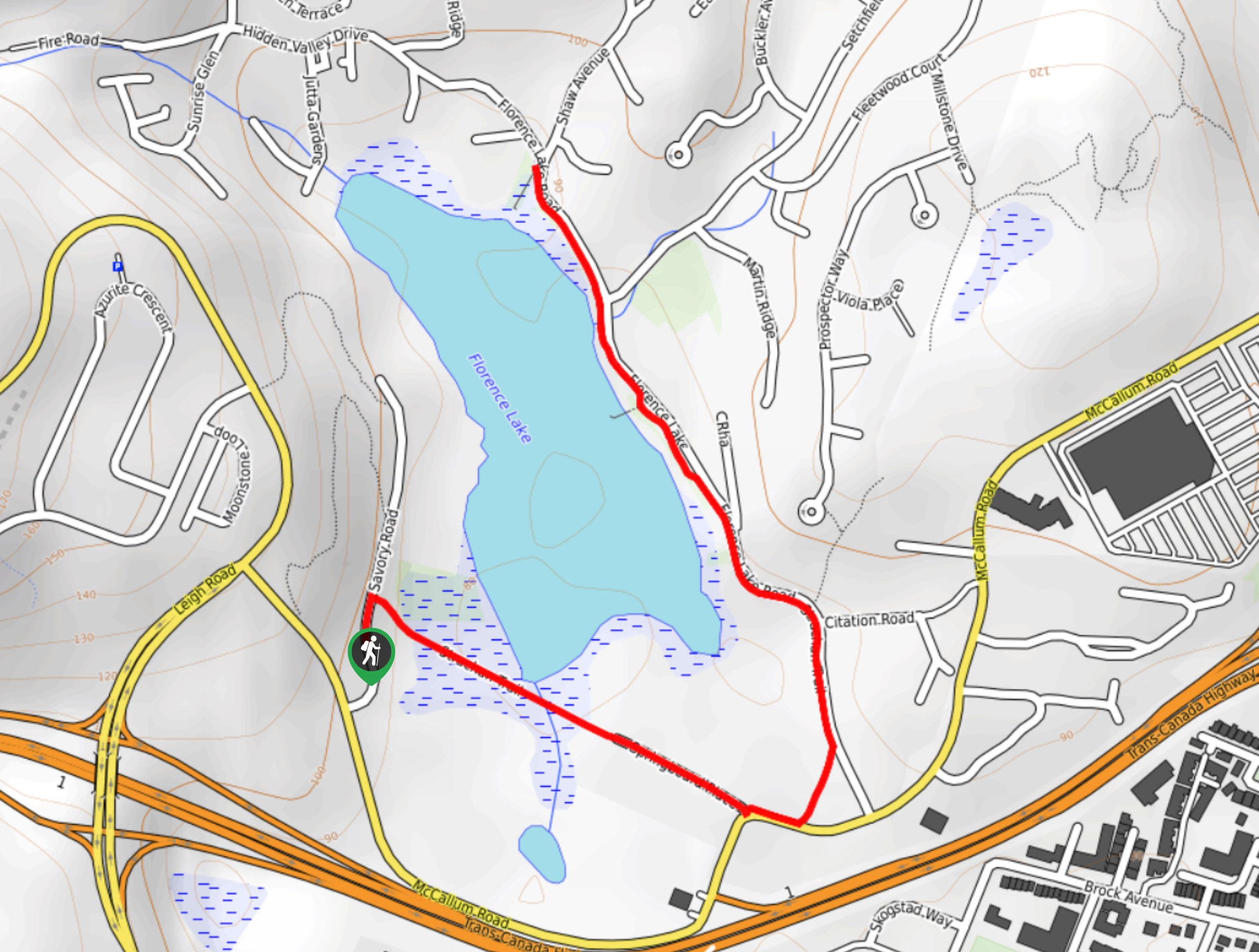
Florence Lake
The hike around Florence Lake follows a 1.9mi out-and-back route in Langford that travels around the southern edge…
Playfair Park Hike
The Playfair Park trail follows a 0.7mi hiking circuit in Saanich, BC, that traverses a series of paved…

Ogden Point Breakwater Hike
The Ogden Point Breakwater trail is a 1.1mi out-and-back route that allows you to stroll the length of…
Comments