
Playfair Park Hike
View Photos
Playfair Park Hike
Difficulty Rating:
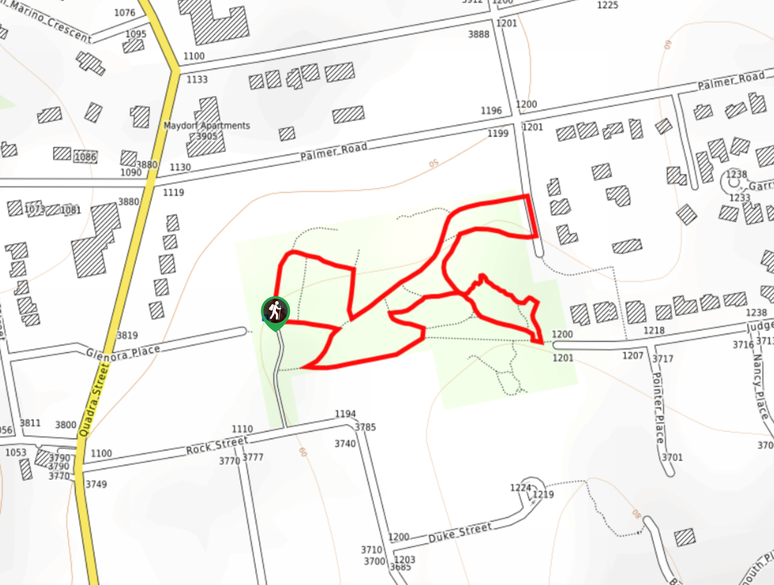
The Playfair Park trail follows a 0.7mi hiking circuit in Saanich, BC, that traverses a series of paved pathways through a public park. Along the trail, hikers will make their way through scenic stretches of forest and open grassy areas that stand in contrast to the large rock formation in the centre of the park. With little elevation and some nice scenery, this is a fun nature walk that hikers of all skill levels can enjoy.
Getting there
To get to the Playfair Park trailhead from Victoria, head north on Quadra Street for 2.3mi and turn right onto Rock Street. After 591ft, turn left and you will arrive at the parking area next to the trailhead.

About
| When to do | Year-Round |
| Backcountry Campsites | No |
| Pets allowed | Yes - On Leash |
| Family friendly | Yes |
| Route Signage | Average |
| Crowd Levels | Moderate |
| Route Type | Circuit |
Playfair Park Hike
Elevation Graph
Weather
Playfair Park Hike Description
The trek through Playfair Park isn’t much of a hike, but that doesn’t stop it from offering some amazing scenery for those looking to walk along its forested trails. The route consists of nice paved pathways that are easily accessible for hikers of all skill levels, including those with strollers and wheelchairs. As you meander under the shade of the trees and through the peaceful gardens, you will feel a sense of tranquillity that you don’t often get in the middle of the city. The real point of interest along this hike, however, is the rugged rock formation in the centre of the park that is perfect for exploring. Whether you are looking for a small urban adventure or a quiet spot to sit and think, the trails in Playfair Park are the perfect getaway within the city.
Similar hikes to the Playfair Park Hike hike
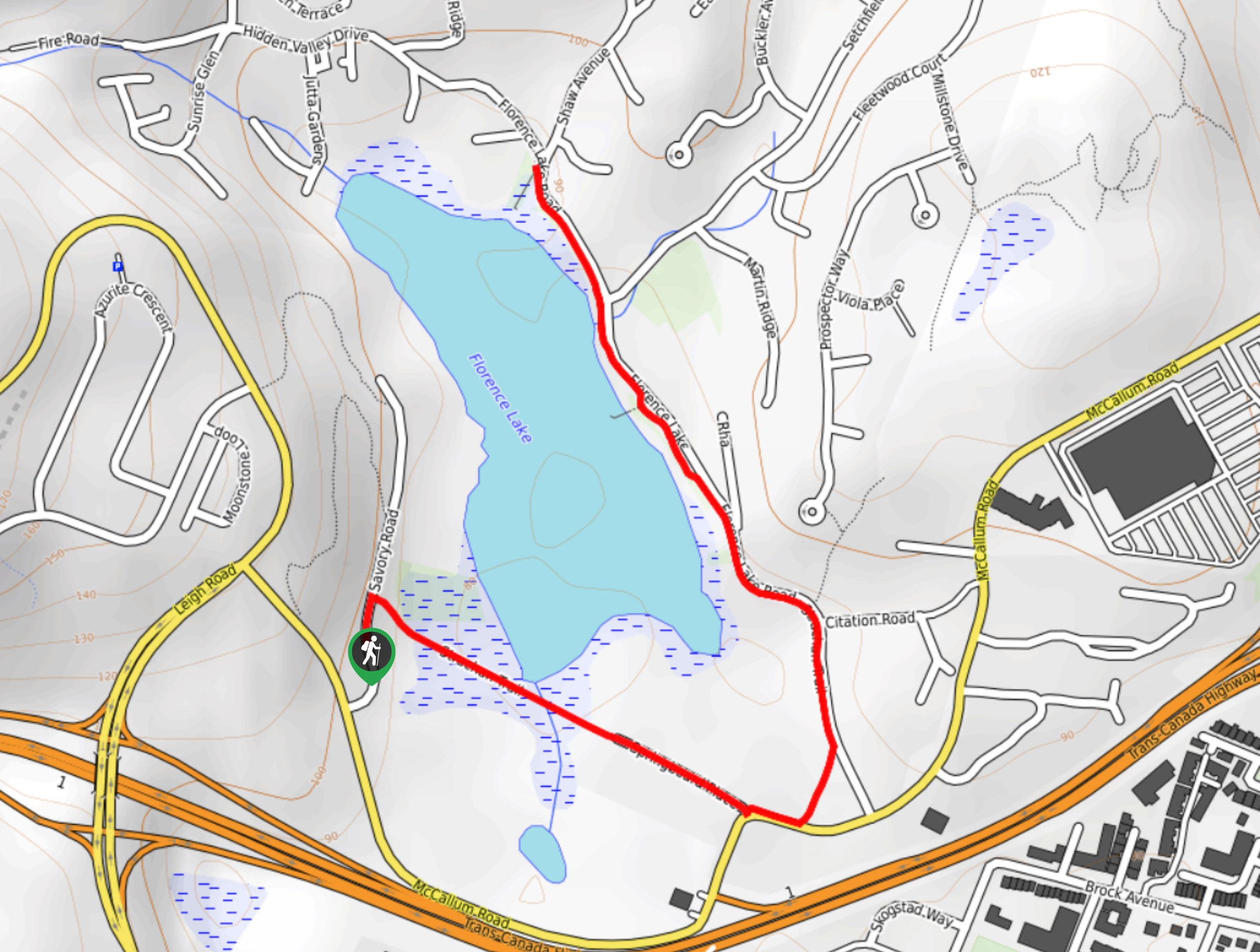
Florence Lake
The hike around Florence Lake follows a 1.9mi out-and-back route in Langford that travels around the southern edge…
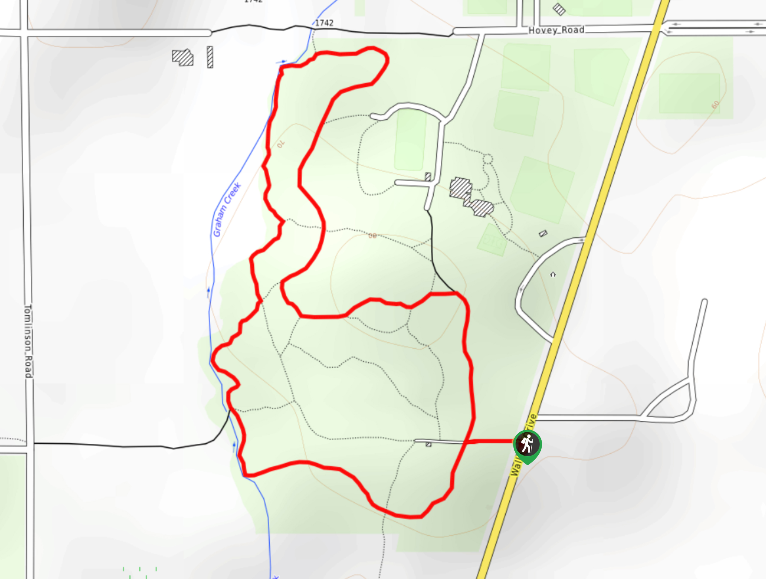
Centennial Park Loop Hike
The Centennial Park Loop is a 1.0mi lollipop hiking route north of Victoria, BC, that travels through an…
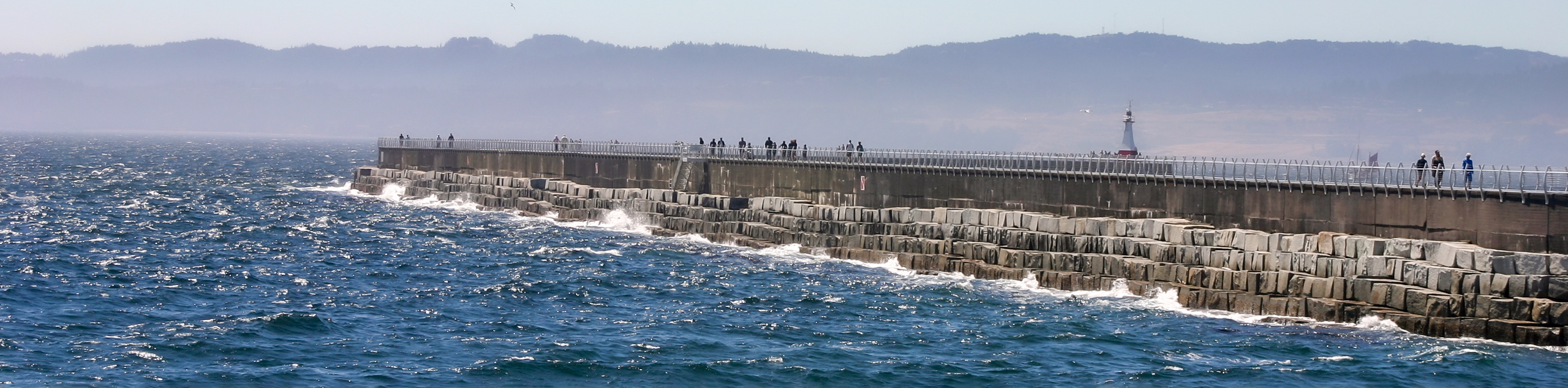
Ogden Point Breakwater Hike
The Ogden Point Breakwater trail is a 1.1mi out-and-back route that allows you to stroll the length of…
Comments