
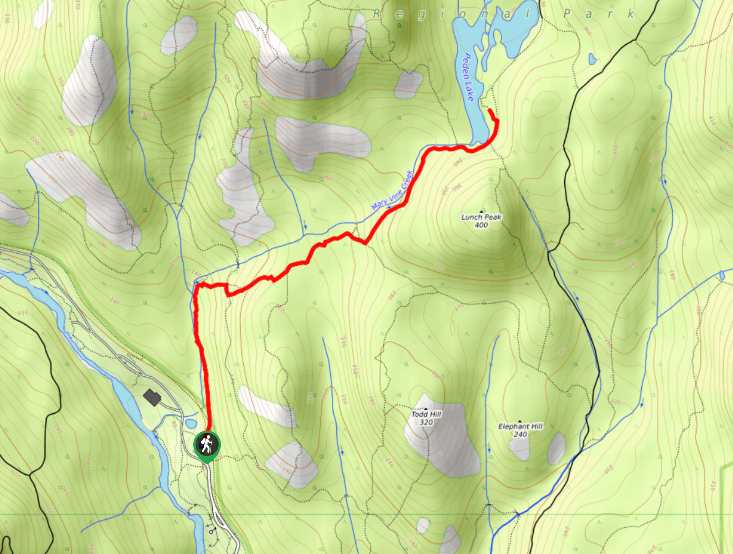
Peden Lake via Mary Vine Trail
View Photos
Peden Lake via Mary Vine Trail
Difficulty Rating:
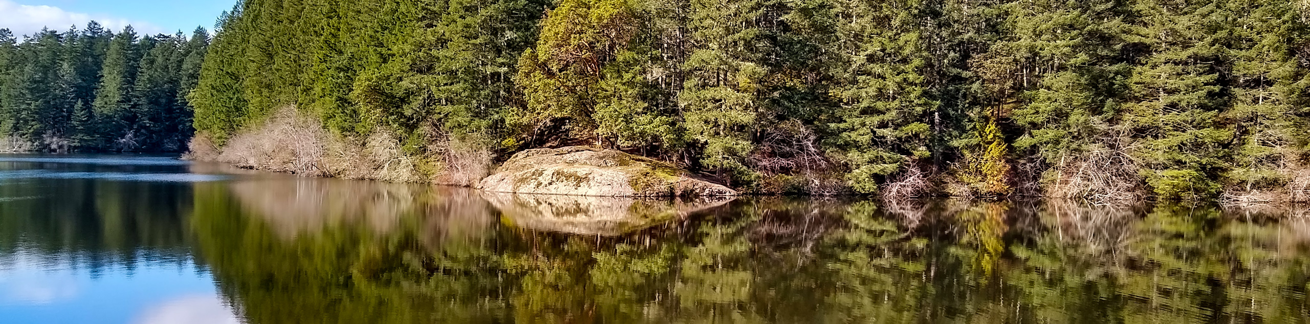
Peden Lake via the Mary Vine Trail is a 3.2mi out-and-back hiking route in the Seas to Sea Regional Park that traverses some undulating terrain through the forest on the way to the tranquil shores of the lake. Along the trail, hikers will be exposed o a breathtaking rainforest setting that borders the rushing waters of Mary Vine Creek and provides access to several scenic waterfalls. Don’t let the seemingly easy nature of this trail fool you, as there are a lot of ascents and descents along the trail that are sure to tire you out.
Getting there
To access the trailhead for Peden Lake via Mary Vine Trail from Milnes Landing, drive north on Sooke River Road for 4.0mi and you will find the trailhead on the left.

About
| When to do | April-October |
| Backcountry Campsites | No |
| Pets allowed | Yes - On Leash |
| Family friendly | Older Children only |
| Route Signage | Average |
| Crowd Levels | Moderate |
| Route Type | Out and back |
Peden Lake via Mary Vine Trail
Elevation Graph
Weather
Peden Lake via Mary Vine Trail Description
The hike to Peden Lake via the Mary Vine Trail is a great way to get your steps in while hiking an undulating forest trail with some beautiful scenery. The trail sets out from the parking area and heads north across the road before entering into the forest cover. From here, you will follow the trail as it runs parallel to the creek and eventually meets up with a junction leading to a viewpoint of the cascading Mary Vine Falls. This small detour is optional, so if you do not want to visit the charming falls, continue along the main trail as it turns to the east. Keep making your way uphill while passing straight through the junctions and you will eventually reach the foot of Lunch Peak on your right. Follow the route as it passes between the hill and the creek on your left and in no time you will arrive at the scenic shores of Peden Lake. Take some time to explore the beautiful lakeside setting before retracing your steps to return to the trailhead.
Similar hikes to the Peden Lake via Mary Vine Trail hike
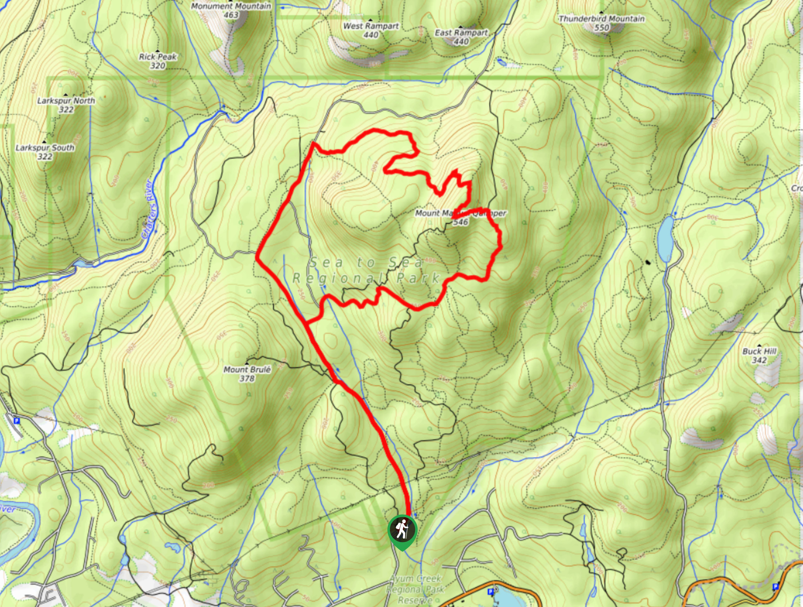
Mount Manuel Quimper Trail
The trek to Mount Manuel Quimper is a 6.2mi lollipop hiking route that climbs uphill through the forest…
Prior and Thetis Lakes Loop Hike
The Prior and Thetis Lake Loop will take you along an 5.0mi lollipop hiking route through a beautifully…
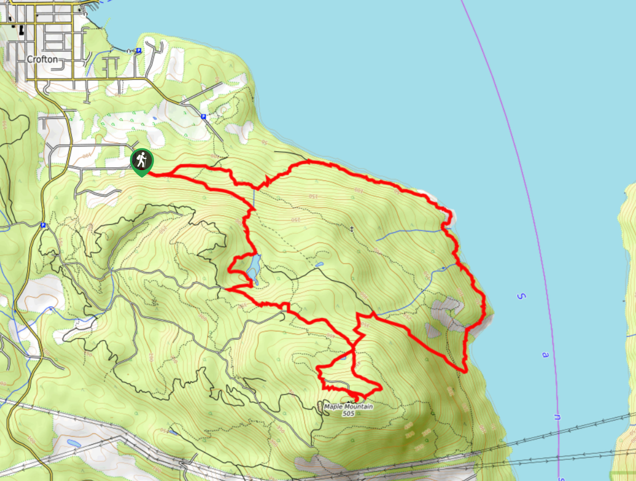
Maple Mountain Hike
The Maple Mountain trail is a 10.4mi lollipop hiking route that will take you on a forested route…
Comments