Durrance Lake Trail
View Photos
Durrance Lake Trail
Difficulty Rating:
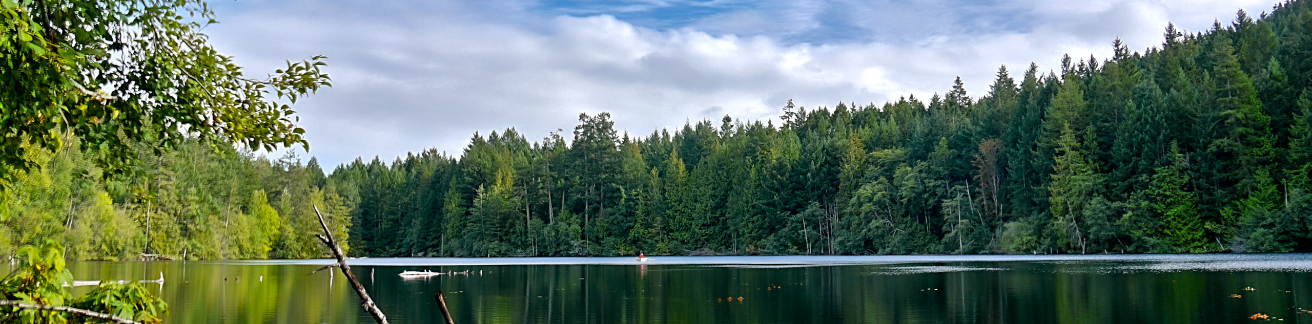
The hike around Durrance Lake follows a 1.4mi hiking circuit that works closely along the edge of the lake for some scenic views across the water. Along the trail, you will experience a peaceful forest atmosphere that offers the chance to spot wildlife such as birds, fish, and mammals in and around the idyllic lakeside setting. This trail is fairly flat and easily accessible, making it perfect for hikers of all ages and skill levels.
Getting there
To reach the Durrance Lake trailhead from Brentwood Bay, drive to the southeast along BC-17A for 3.0mi and turn right onto Wallace Drive, following it for 1804ft. Make a left on Willis Point Road and continue along it for 2.3mi before turning right on Ross Durrance Road. Continue straight for 1312ft to arrive at the trailhead.

About
| When to do | Year-Round |
| Backcountry Campsites | No |
| Pets allowed | Yes |
| Family friendly | Yes |
| Route Signage | Average |
| Crowd Levels | Low |
| Route Type | Circuit |
Durrance Lake Trail
Elevation Graph
Weather
Durrance Lake Trail Description
While the Durrance Lake Trail is an easy hike that almost anyone can enjoy, there are a few things to consider when planning your trek through the area. First, there is a decent amount of parking at the trailhead, but even this can quickly fill up on weekends or during peak times. If you are looking to have a bit of peace and quiet along the trail, try arriving early or during off-peak times throughout the week in order to get a parking space. Additionally, the trail itself is easily accessible and easy to navigate; however, its make up is not consistent throughout the hike. On one side of the lake you will be able to follow along a nice gravel pathway, while the opposite side is made up of much more narrow dirt trails that can become fairly muddy. Keep this in mind if you are planning to complete this hike with less-mobile travellers or young children.
Even with this slight trail variation in mind, the hike around Durrance Lake is a fun, family-friendly activity that will allow you to experience the natural beauty of the forests and lakes within Mount Work Regional Park. Along the trail, you will make your way along the northern edge of the lake and take in some scenic views across the water before arriving at a viewpoint overlooking a charming waterfall. From there, you will cross over Durrance Creek and traverse the trail along the southern edge of the lake to return to the trailhead where you began. The amazing forest terrain and easy nature of the trail make this route the perfect day-hike option for just about everyone.
Setting out from the trailhead, follow the wide gravel path to the east as you make your way along the northern shore of Durrance Lake. Take some time to appreciate the calm lakeside atmosphere, as you gaze out across the water and spot the various types of birds that call the area home. After roughly 1969ft of hiking along this path, you will come to a junction in the trail at the eastern edge of the lake.
Keep left at the junction and continue on for about 328ft to arrive at a small rushing waterfall within the temperate rainforest. After spending some time in this serene setting, head back to the junction at the edge of the lake and follow the path to the left to continue along the southern shore.
The south side of Durrance Lake features a trail that is made of dirt and is more narrow than the north side, so make sure to watch your footing as you make your way through the forest. Make your way through the beautiful rainforest setting for 1903ft and take advantage of the intermittent breaks in the tree cover for some amazing views over the water before arriving at another junction in the trail.
Pass straight through this junction and continue along to the northwestern corner of the lake for the final stretch of the loop. After 984ft, you will cross over another small creek and follow the trail as it turns back to the east. From here, a short 755ft stroll along the road will bring you back to the parking area, having completed the hike around Durrance Lake.
Insider Hints
While the trail is family friendly, on one side of the lake it follows a narrow path that is often covered in mud. Keep this in mind if you are planning on hiking with young children or a stroller.
Parking at the trailhead can be limited during peak hours, so plan to arrive early or during off-peak times.
Similar hikes to the Durrance Lake Trail hike
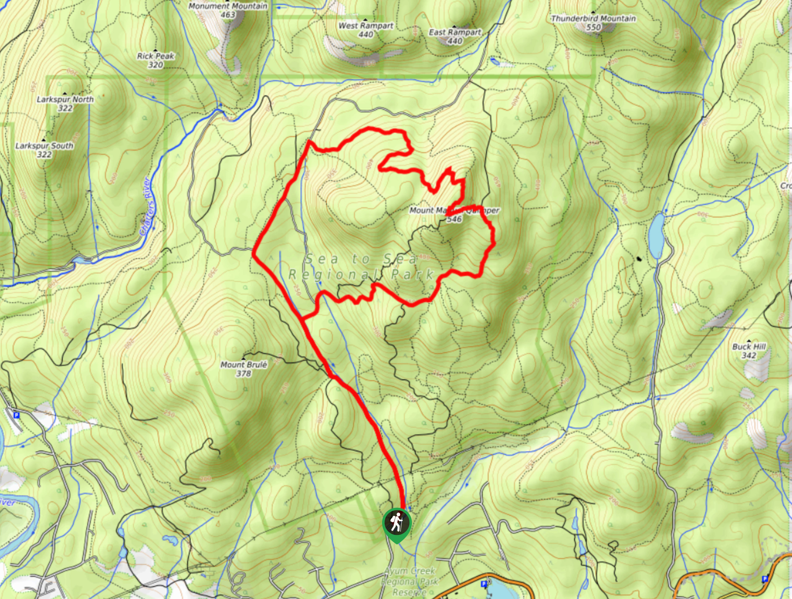
Mount Manuel Quimper Trail
The trek to Mount Manuel Quimper is a 6.2mi lollipop hiking route that climbs uphill through the forest…
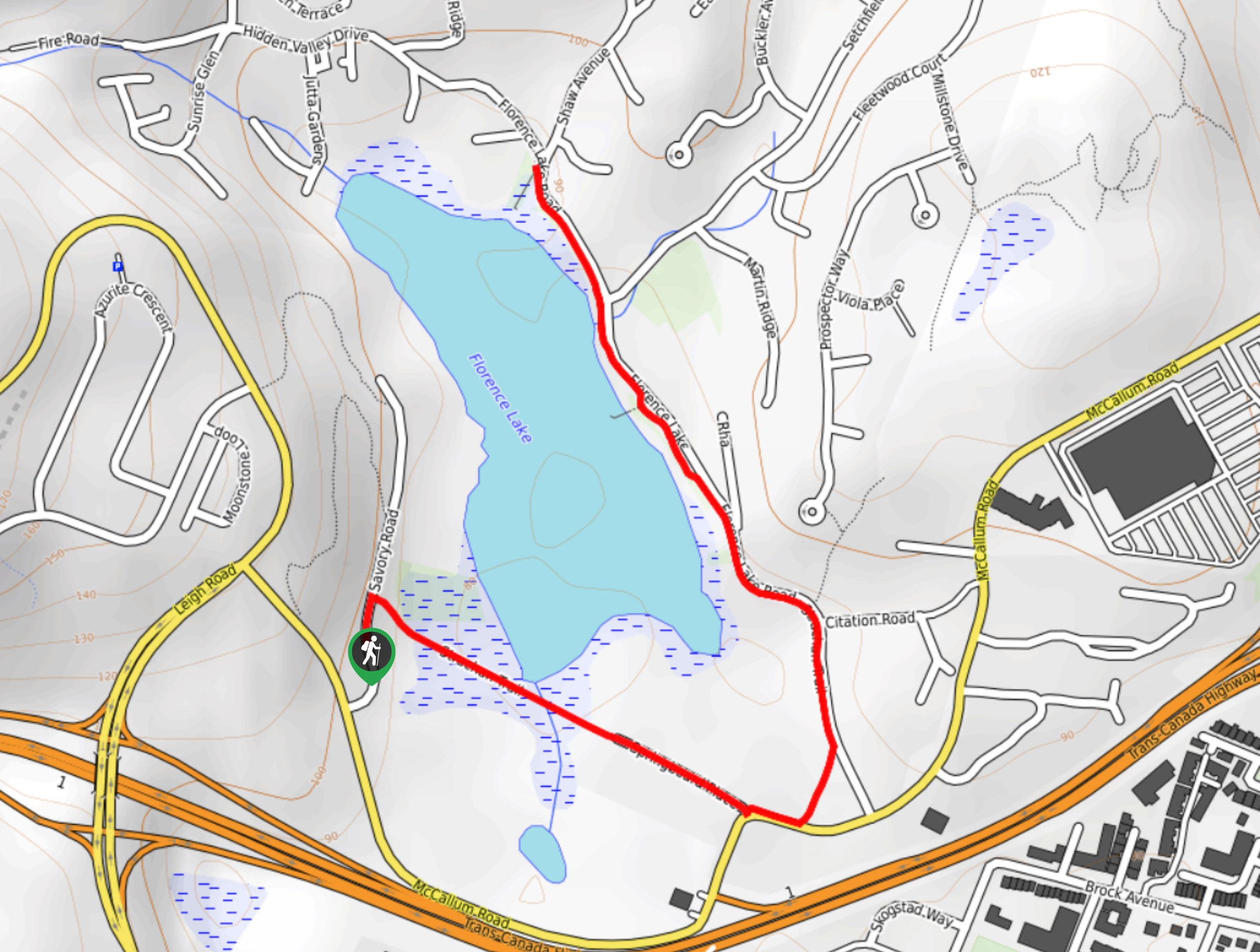
Florence Lake
The hike around Florence Lake follows a 1.9mi out-and-back route in Langford that travels around the southern edge…
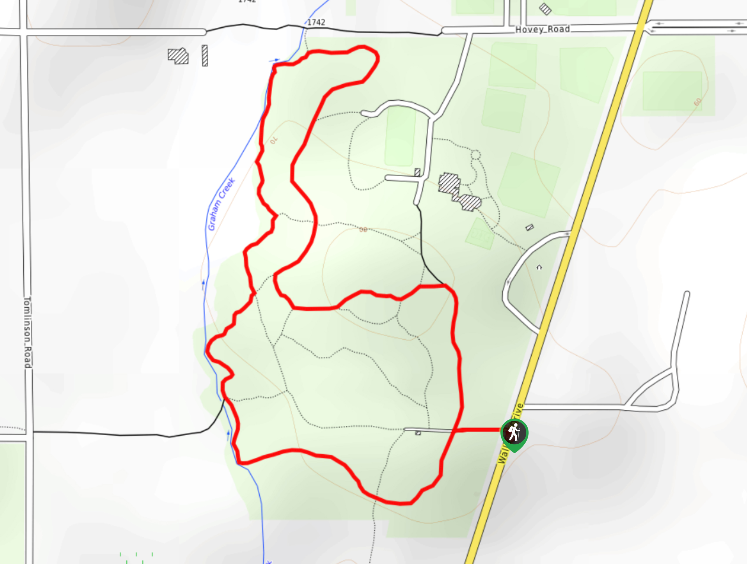
Centennial Park Loop Hike
The Centennial Park Loop is a 1.0mi lollipop hiking route north of Victoria, BC, that travels through an…
Comments