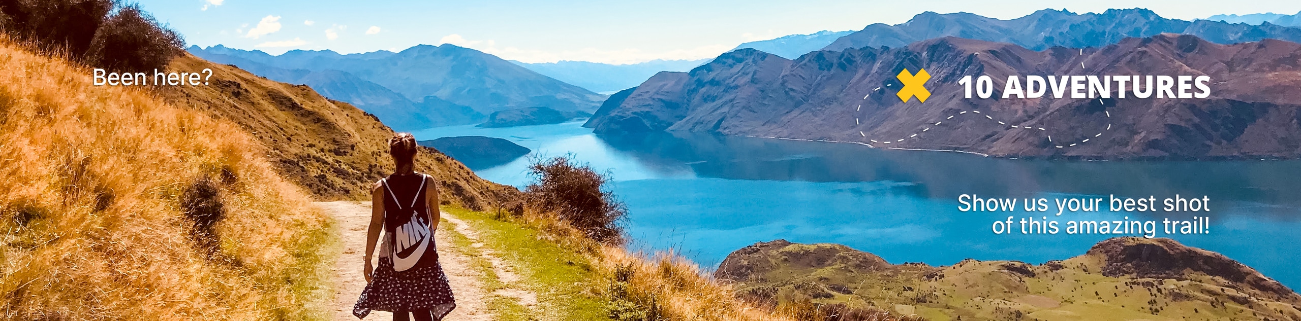
Slate Creek Loop
View Photos
Slate Creek Loop
Difficulty Rating:
The Slate Creek Loop is a stellar hike just east of Kamas, Utah. This trail was the first mountain-bike-specific trail built in the Uintas and has become a popular hiking and snowshoeing route since. With ponderosa pine forest, aspen groves, and mountain views, the Slate Creek Loop is an excellent place to spend your afternoon in the Utah wilderness.
Getting there
From Kamas, Utah, head east on Highway 150 for 6.0mi and look for the Yellow Pine Trailhead on the north side of the road. The Slate Creek Loop begins here.

About
| Backcountry Campground | Yellow Pine Campground near Trailhead |
| When to do | Year-round |
| Pets allowed | Yes |
| Family friendly | Older Children only |
| Route Signage | Average |
| Crowd Levels | Moderate |
| Route Type | Circuit |
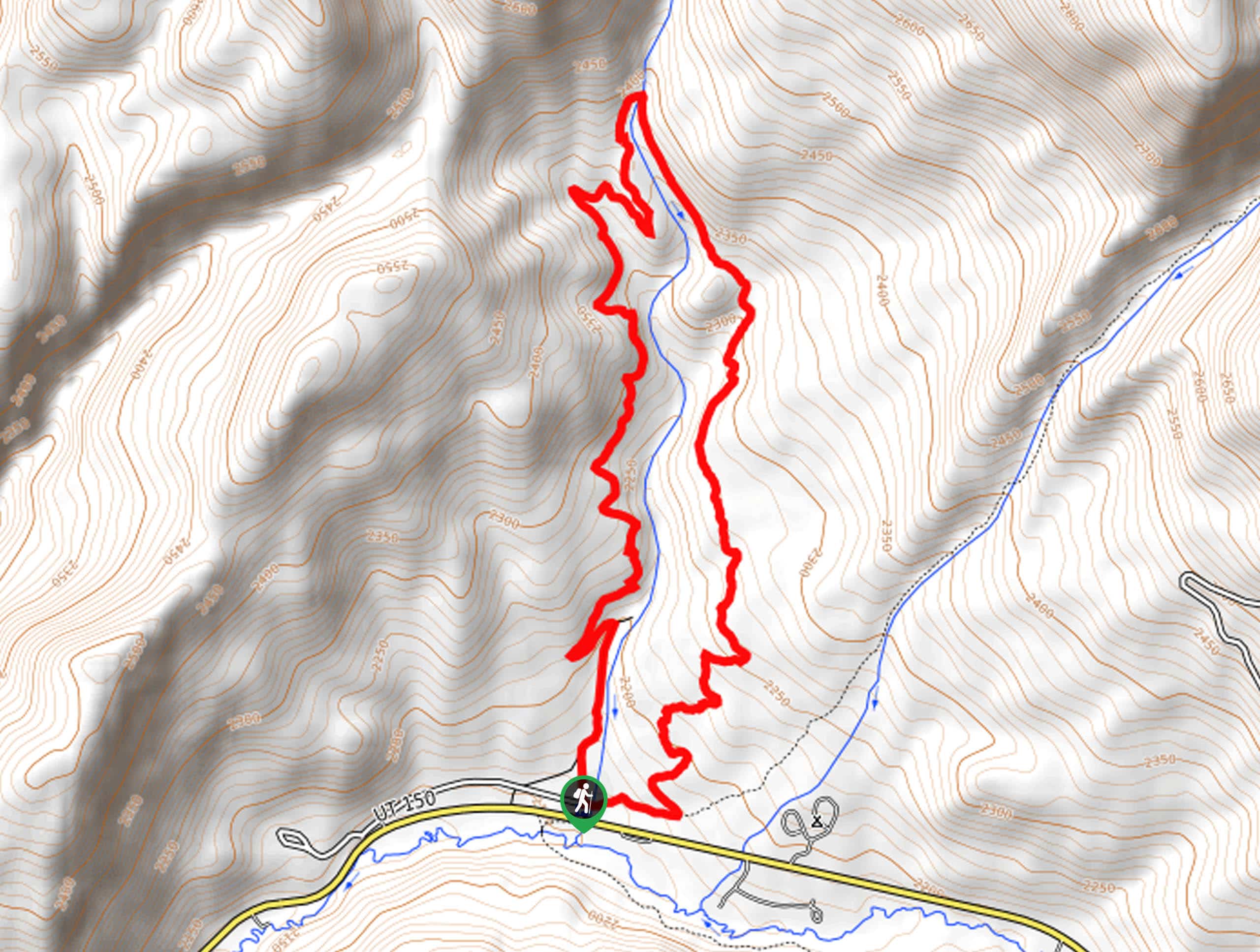
Slate Creek Loop
Elevation Graph
Weather
Slate Creek Loop Description
The Slate Creek Loop is a fantastic hike in the western Uintas. This route is primarily a mountain-biking trail, so when hiking, be sure to keep your eyes and ears open and allow folks on bikes to pass you by. Located just east of Kamas, Utah, the Slate Creek Loop is a fantastic place for hiking, biking, and trail running in the summer and snowshoeing and cross-country skiing in the winter. No matter what time of year you visit, the Slate Creek Trail is the perfect place to spend some quality time with loved ones exploring the wonders of nature.
Beginning at the Yellow Pine Trailhead, cross over Yellow Pine Creek and follow the Yellow Pine Trail east for a third of a mile to a divide in the path. At the divide, take the trail on your left to follow the Slate Creek Loop north. Continue along the trail going counterclockwise to wind your way back to the Yellow Pine Trailhead, where you began.
If you are looking for more to explore in the area, check out the Yellow Pine Trail, or the Castle Peak Trail nearby.
Similar hikes to the Slate Creek Loop hike

Willard Creek Waterfall Trail
The Willard Creek Trail is an adventurous yet beautiful hike on the eastern edge of Willard, Utah. This trail is…

Skull Crack Trail
Despite the foreboding name, the Skull Crack Trail is a fantastic hike in the Uinta-Wasatch-Cache National Forest. This trail follows…

Box Elder Creek Trail
The Box Elder Creek Trail is a lovely hike northeast of Salt Lake City. This trail is used by both…
Comments