Round Lake via Burnt Fork
View Photos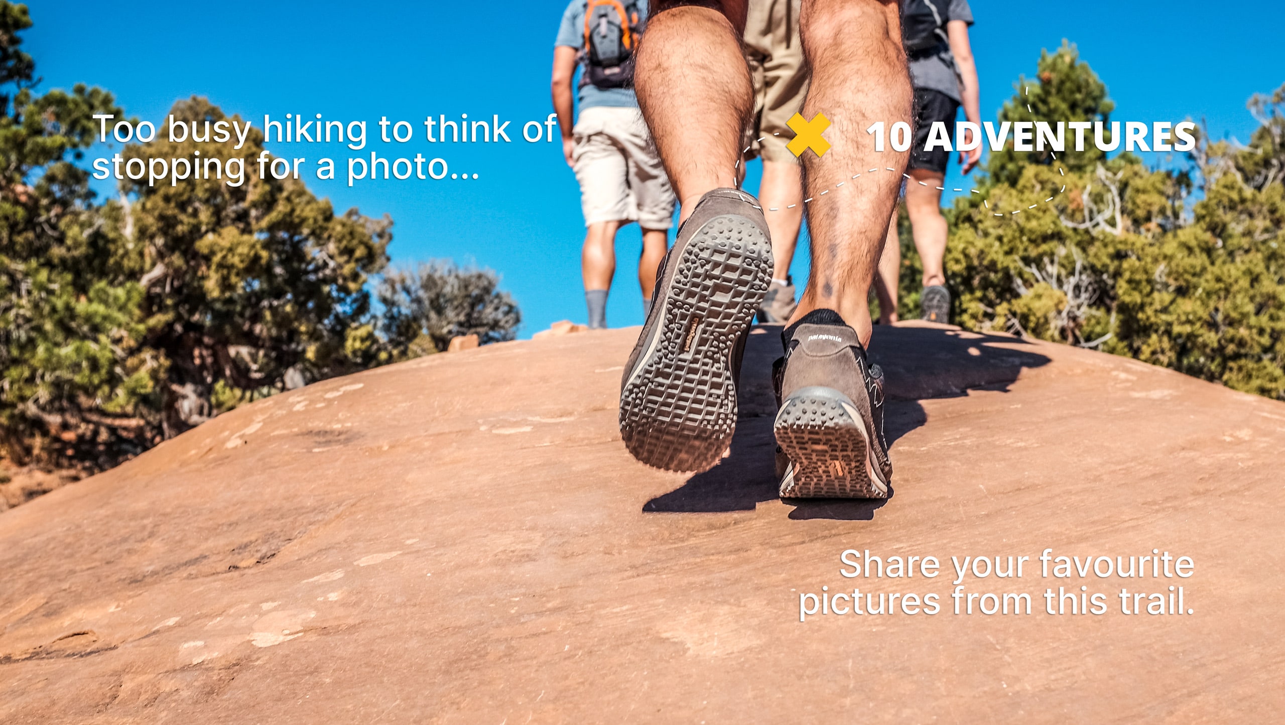
Round Lake via Burnt Fork
Difficulty Rating:
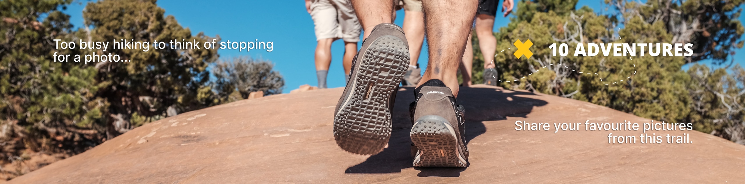
The Round Lake via Burnt Fork Trail is a challenging route in the Eastern Uintas. This trail is rugged and requires route finding skills. If you are looking for an adventure in a secluded section of the Utah wilderness, this is the hike for you.
Getting there
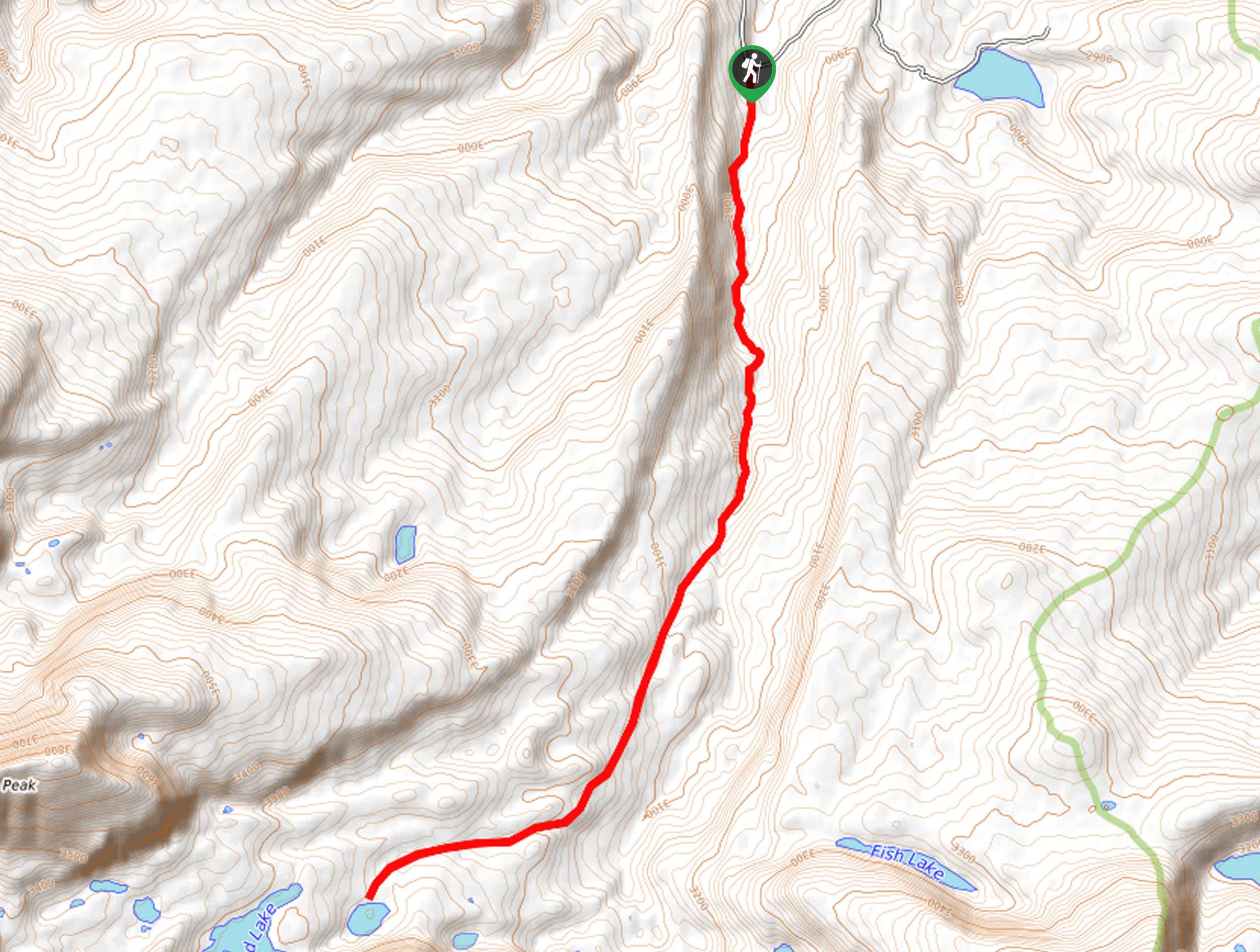
This route begins on the south side of Hoop Lake Road just east of Hoop Lake in the Eastern Uinta Wilderness.

About
| Backcountry Campground | Round Lake |
| When to do | June to October |
| Pets allowed | Yes - On Leash |
| Family friendly | No |
| Route Signage | Poor |
| Crowd Levels | Low |
| Route Type | Out and back |
Round Lake via Burnt Fork
Elevation Graph
Weather
Round Lake via Burnt Fork Description
The hike to Round Lake via Burnt Fork is a challenging route in the eastern Uintas. This trail follows a rugged trail and requires route-finding skills. We strongly recommend bringing along a map and/or GPS unit to aid in navigation. This route can either be done as one long day hike or broken up over a couple of days by camping at Round Lake. If you are planning to hike this whole route in one day, be sure to start early in the day and bring along a headlamp in case you wind up finishing in the dark. With stunning views the whole way and great fishing and camping at Round Lake, this hike is a perfect place to seek and find adventure in the Utah wilderness.
Beginning on the south side of Hoop Lake Road, follow the Burnt Fork Trail south for 2.9mi, then branch off the Burnt Fork Trail to make your way southwest to Round Lake. Enjoy your time at Round Lake and take some time to explore the other lakes in the area before heading back the way you came.
If you are looking for an alternate route, this area can also be accessed via the Round, Sand, and Fish Lake Trail.
Similar hikes to the Round Lake via Burnt Fork hike

Willard Creek Waterfall Trail
The Willard Creek Trail is an adventurous yet beautiful hike on the eastern edge of Willard, Utah. This trail is…

Skull Crack Trail
Despite the foreboding name, the Skull Crack Trail is a fantastic hike in the Uinta-Wasatch-Cache National Forest. This trail follows…

Box Elder Creek Trail
The Box Elder Creek Trail is a lovely hike northeast of Salt Lake City. This trail is used by both…
Comments