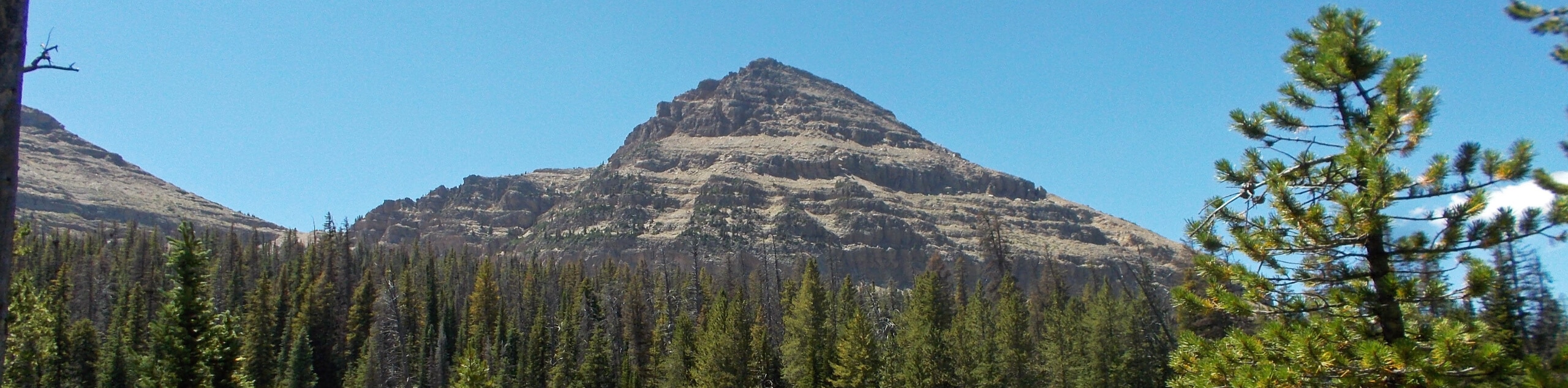
Reid’s Peak
View Photos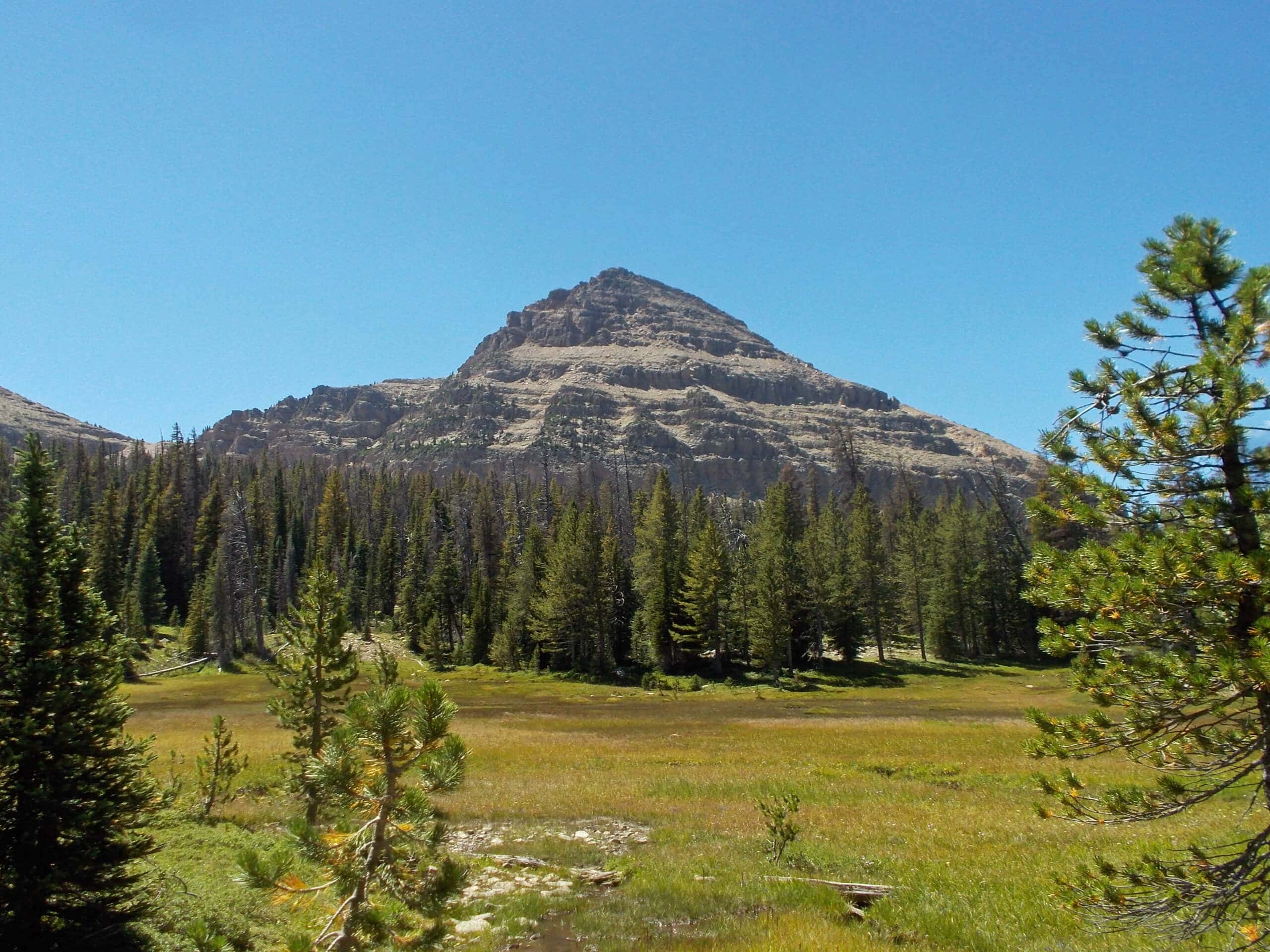
Reid’s Peak
Difficulty Rating:
Reid’s Peak is an adventurous hike in the western Uintas. This trail is unmarked and unmaintained and does require route-finding skills. The trek to the summit of Reid’s Peak is challenging, but it makes an excellent adventure for experienced hikers.
Getting there
This hike begins at the Bald Mountain Trailhead on the north side of Highway 150, approximately 29.5mi east of Kamas, Utah.

About
| Backcountry Campground | No |
| When to do | May to September |
| Pets allowed | No |
| Family friendly | No |
| Route Signage | None |
| Crowd Levels | Low |
| Route Type | Out and back |
Reid’s Peak
Elevation Graph
Weather
Reid’s Peak Description
The hike to Reid’s Peak is an excellent adventure in the Western Uintas. This trail is unmarked and unmaintained, so hikers should be adept at route findings and light scrambling. Although this hike is not long, it is challenging, so be ready for a strenuous hike and show up with lots of water and some snacks to enjoy at the summit. Though the hike to Reid’s Peak is challenging, the summit views are richly rewarding. An afternoon spent at Reid’s Peak will be one to remember.
From the Bald Mountain Trailhead, head west along the Notch Mountain Trail for approximately one mile. Look for a faint trail branching off to your right. Follow this path and choose your own adventure to make your way to the top of Reid’s Peak.
Enjoy a well-deserved rest on the summit. Then, when you are ready to head home, simply retrace your steps back to the Bald Mountain Trailhead, where you began.
Similar hikes to the Reid’s Peak hike

Willard Creek Waterfall Trail
The Willard Creek Trail is an adventurous yet beautiful hike on the eastern edge of Willard, Utah. This trail is…

Skull Crack Trail
Despite the foreboding name, the Skull Crack Trail is a fantastic hike in the Uinta-Wasatch-Cache National Forest. This trail follows…

Box Elder Creek Trail
The Box Elder Creek Trail is a lovely hike northeast of Salt Lake City. This trail is used by both…
Comments