North Fork Loop
View Photos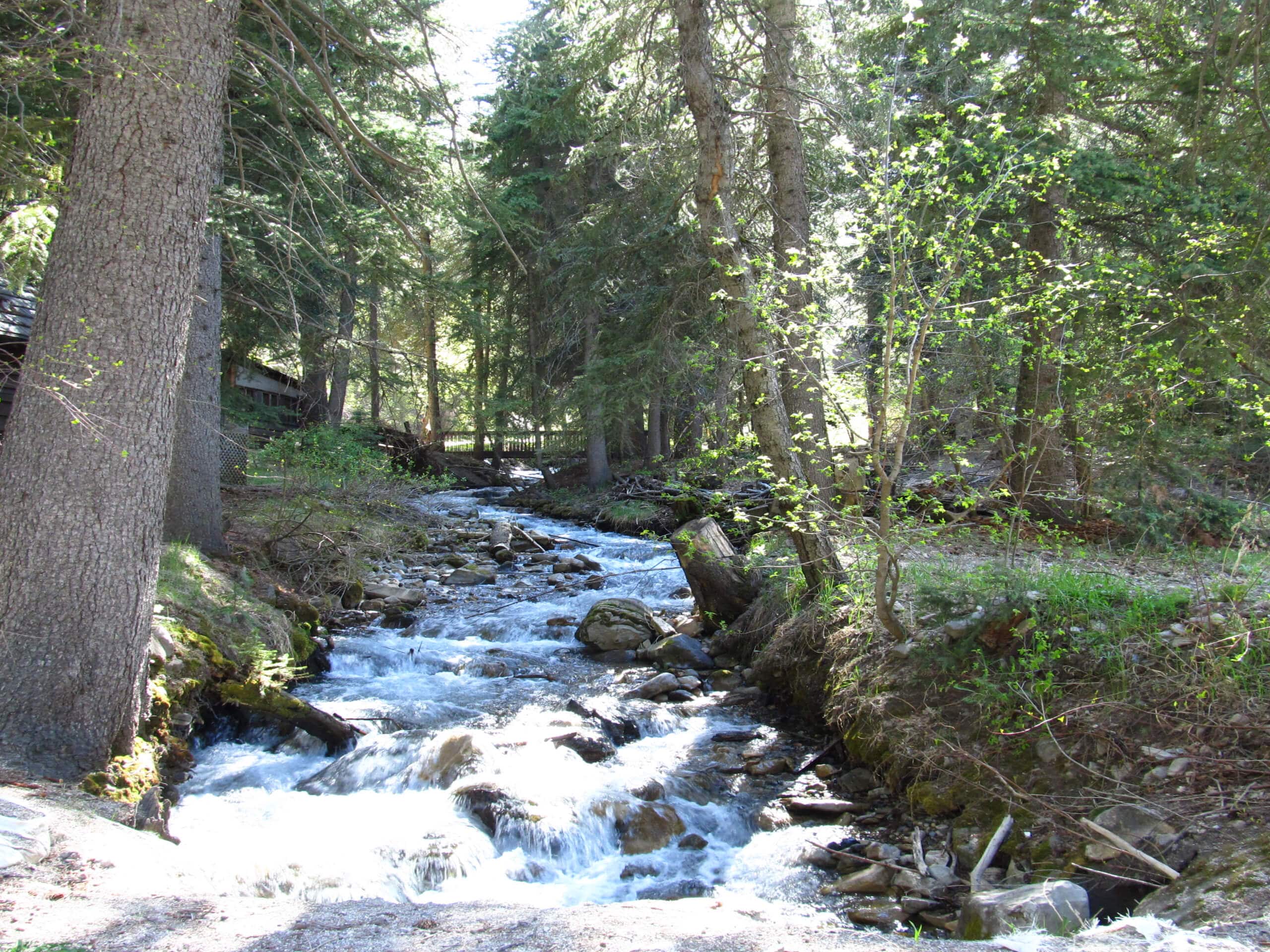
North Fork Loop
Difficulty Rating:
The North Fork Loop is a gorgeous trail east of Kamas, Utah. This trail is an excellent hiking trail in the summer and a wonderful snowshoeing route in the winter. Dogs are allowed on this trail as well.
Getting there
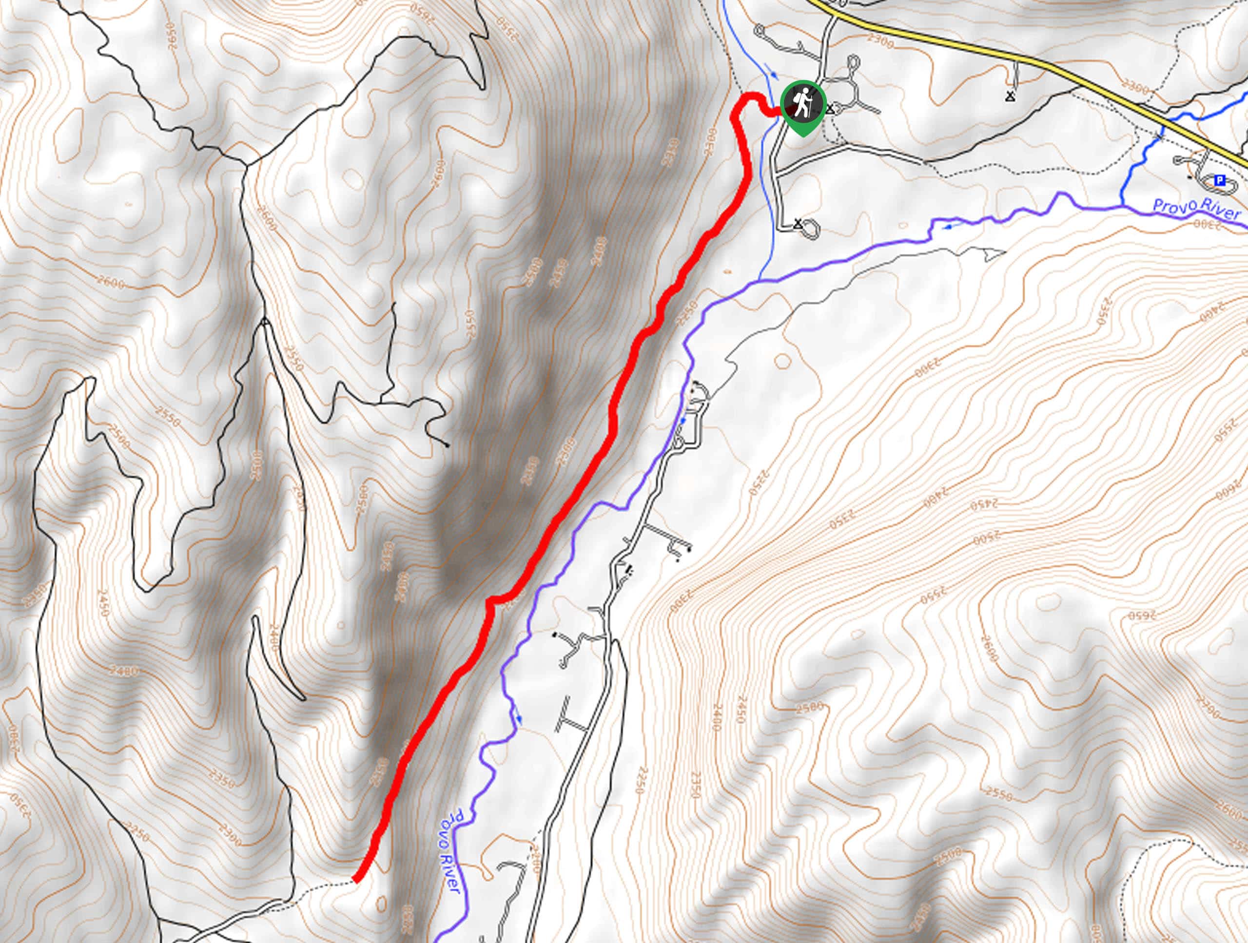
This hike begins at the North Fork Trailhead on the south side of highway 150, approximately 11.8mi east of Kamas, Utah.

About
| Backcountry Campground | No |
| When to do | Year-round |
| Pets allowed | Yes |
| Family friendly | Yes |
| Route Signage | Average |
| Crowd Levels | Moderate |
| Route Type | Circuit |
North Fork Loop
Elevation Graph
Weather
North Fork Loop Description
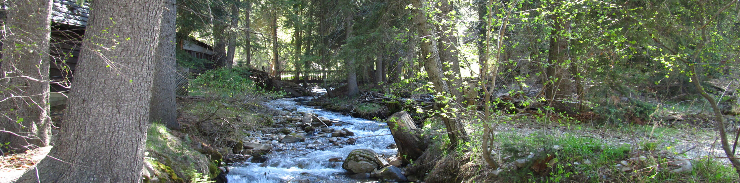
The North Fork Loop is a popular hike in the Western Uintas. This trail crosses two creeks that can be flooded out in the early spring. We recommend saving this route for the summer or fall when the water levels are more manageable. This loop makes an excellent route for snowshoeing and cross-country skiing in the winter. No matter what time of year you visit, the North Fork Loop is always beautiful and always a great place to spend an afternoon enjoying nature with loved ones.
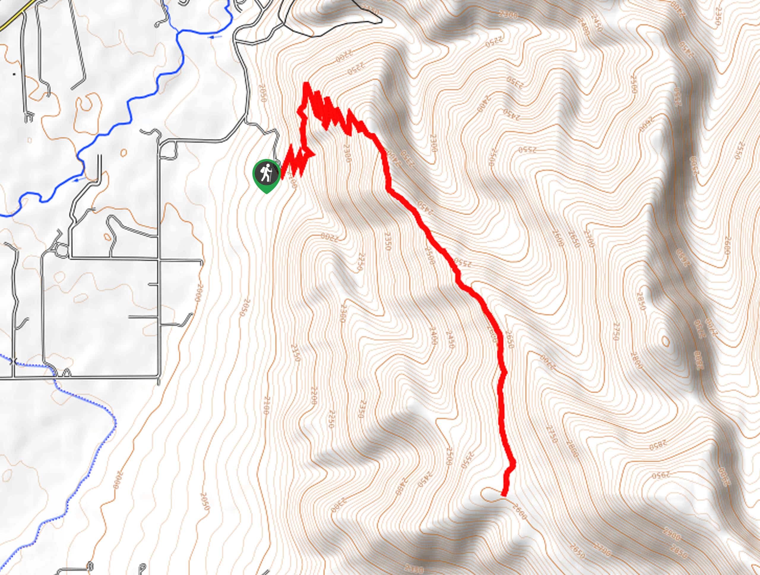
Beginning at the North Fork Trailhead, cross over Highway 150 and follow the path northeast to hike the loop counterclockwise. Stay left at the divides in the trail to make your way back to the highway along the loop. When you find yourself back at the highway, cross safely and make your way east along the road back to the trailhead where you began.
If you are looking for more to explore in the area, check out the Shingle Creek Trail nearby.
Similar hikes to the North Fork Loop hike

Skull Crack Trail
Despite the foreboding name, the Skull Crack Trail is a fantastic hike in the Uinta-Wasatch-Cache National Forest. This trail follows…
Pine Valley Trail
The Pine Valley Trail is a wonderful route just southeast of Kamas, Utah. This trail is a lovely hike in…
Oakley Ridge Trail
The Oakley Ridge Trail is a gorgeous route just east of Oakley, Utah. This trail is moderately challenging with steep…
Comments