Mount Agassiz Loop
View Photos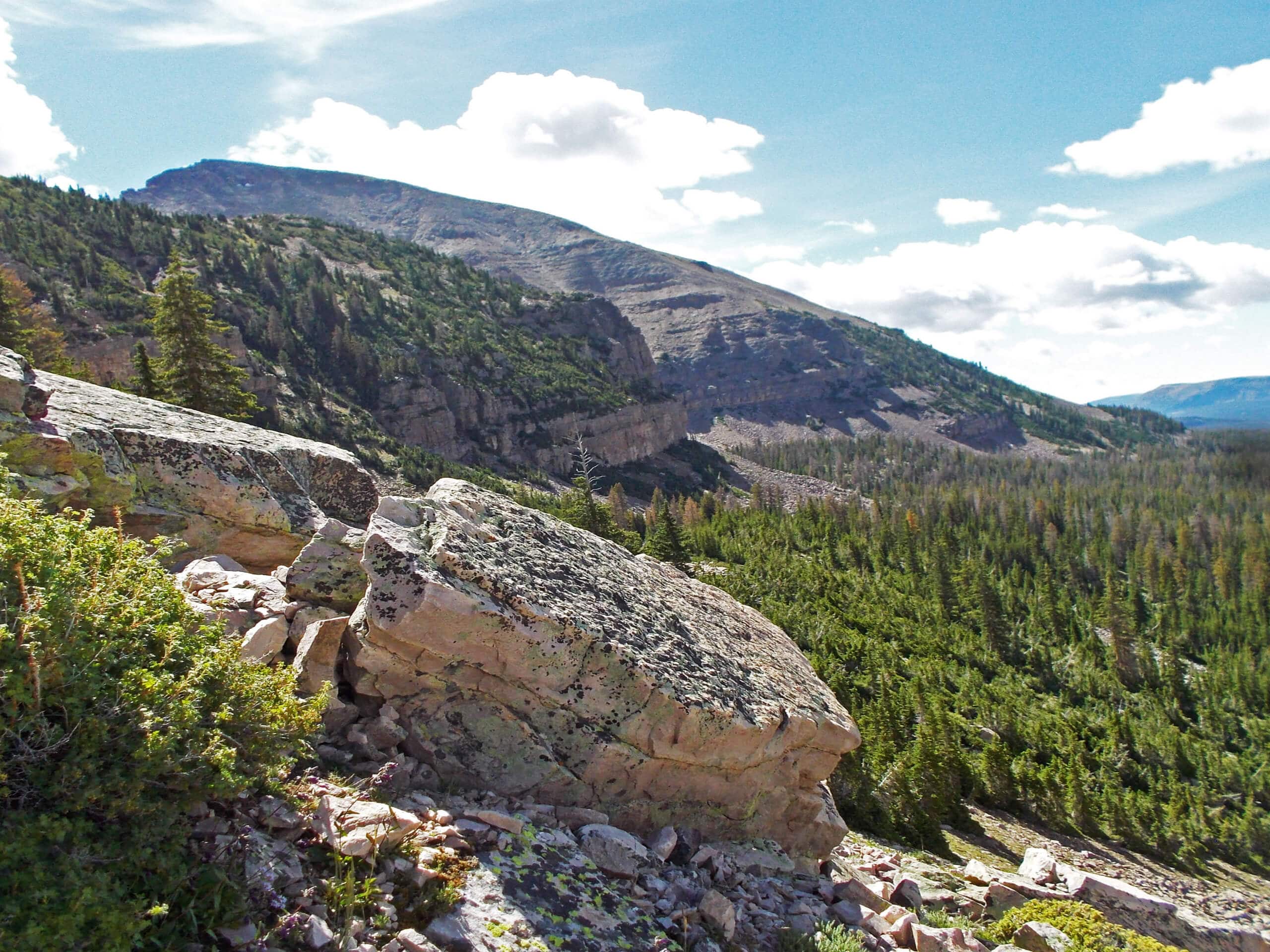
Mount Agassiz Loop
Difficulty Rating:
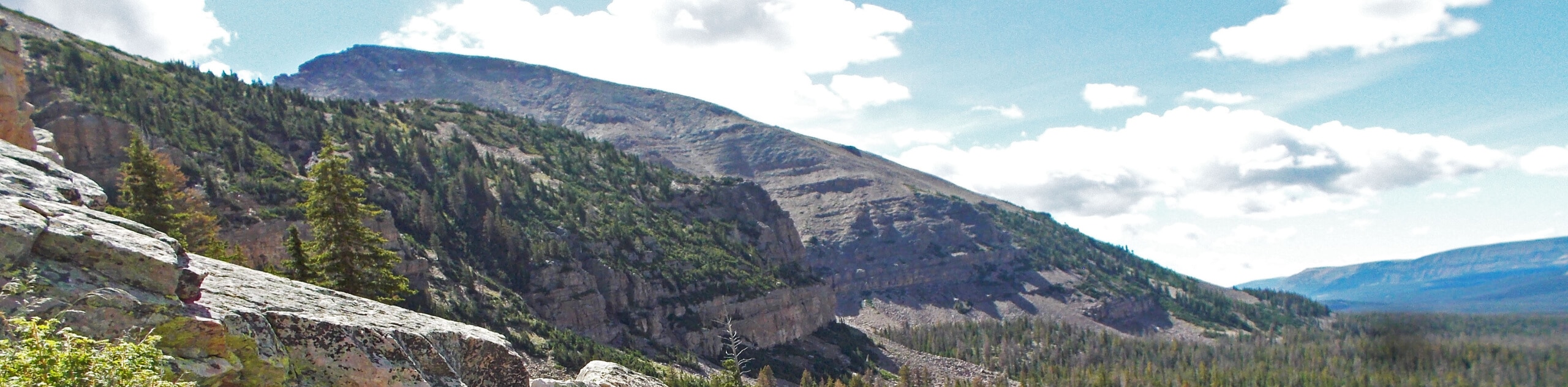
The Mount Agassiz Loop is a challenging hike in the western Uintas. This route is off-trail for the most part and requires scrambling and route-finding experience. If you are up for an adventure, the Mount Agassiz Loop is a fantastic place to test your skills and catch some incredible views in the Utah wilderness.
Getting there
From Kamas, Utah head east on highway 150 for 21.3mi then turn right at Hayden Pass onto Forest Road 456. Park at the lot at the east end of the road. The Mount Agassiz Loop begins here.

About
| Backcountry Campground | No |
| When to do | June to October |
| Pets allowed | No |
| Family friendly | No |
| Route Signage | Poor |
| Crowd Levels | Low |
| Route Type | Lollipop |
Mount Agassiz Loop
Elevation Graph
Weather
Mount Agassiz Loop Description
The Mount Agassiz Trail is a fantastic route in the High Uintas. This trail is challenging and for experienced hikers only. Most of the Mount Agassiz Trail is not maintained and requires route-finding skills. We recommend downloading or printing a map before hitting the trail. If you have a GPS device, we suggest bringing that along. When you are loading up your pack with lots of snacks and water to fuel your adventure, make sure you leave some space for a camera, the Mount Agassiz Trail has incredible, panoramic views of the Utah wilderness at every turn.
To hike the Mount Agassiz Loop, begin at the Highline Trailhead and take the path heading south. Less than a mile in, the trail will divide; take the path on your left to head southeast along the Highline Trail. Approximately a mile down the Highline Trail, you will see a rugged path on your left. Take this trail to head northeast to the top of Mount Agassiz.
At the top of Mount Agassiz, enjoy the summit views before looping back west to the Highline Trail. When you find yourself back in familiar territory, simply retrace your footsteps back to the Highline Trailhead where you began.
Similar hikes to the Mount Agassiz Loop hike

Willard Creek Waterfall Trail
The Willard Creek Trail is an adventurous yet beautiful hike on the eastern edge of Willard, Utah. This trail is…

Skull Crack Trail
Despite the foreboding name, the Skull Crack Trail is a fantastic hike in the Uinta-Wasatch-Cache National Forest. This trail follows…

Box Elder Creek Trail
The Box Elder Creek Trail is a lovely hike northeast of Salt Lake City. This trail is used by both…
Comments