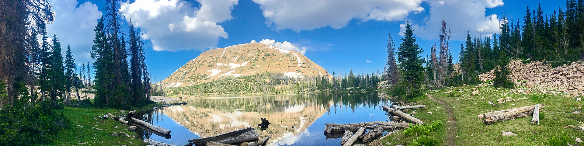
Clyde Lake hike
View Photos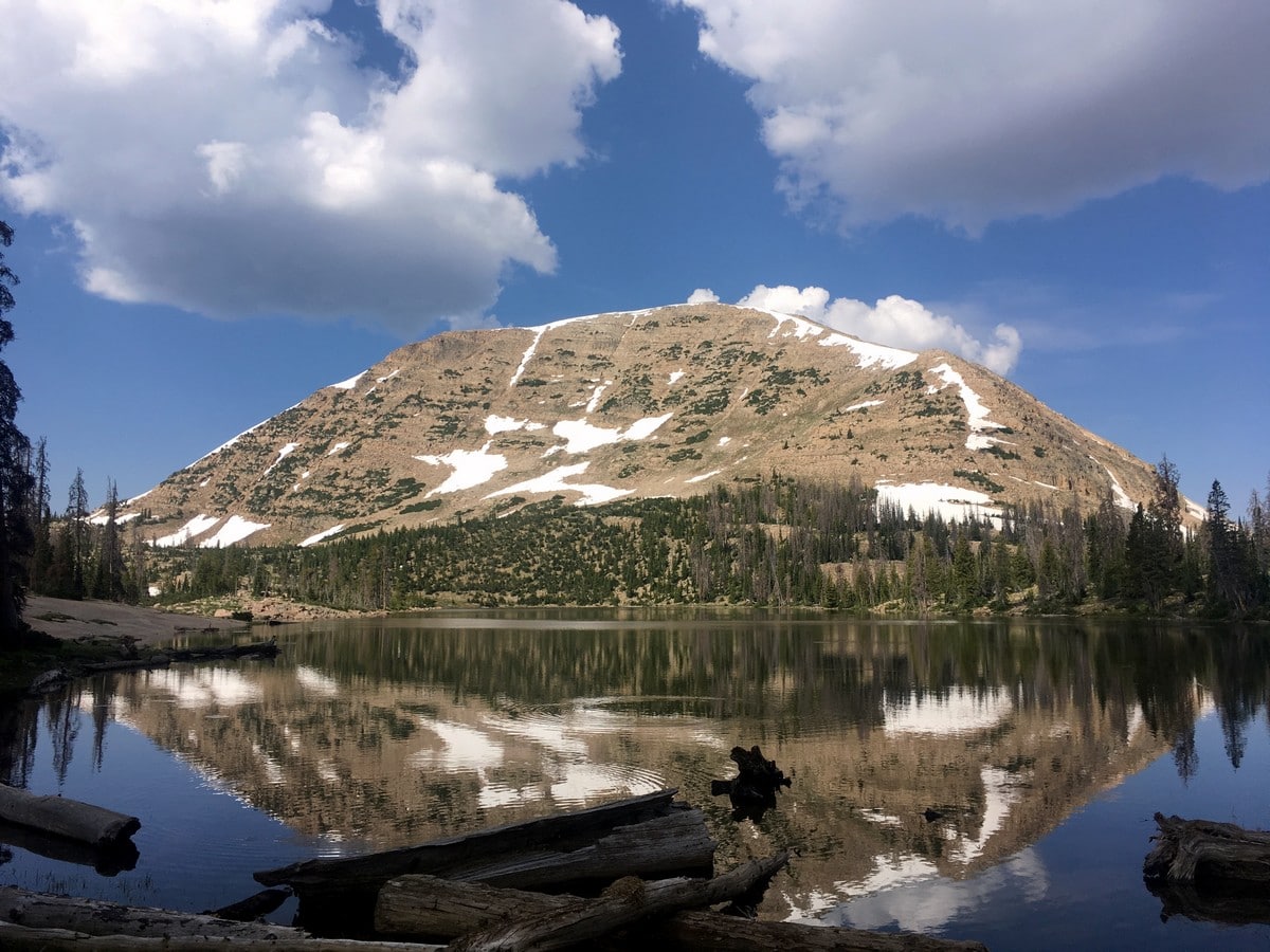
Clyde Lake hike
Difficulty Rating:
This easier hike captures much of the incredible beauty of The Uintas’ Lakes. Following an initially busy trail, the crowds thin as you approach the glistening Clyde Lake and the stunning mountains that surround it.
Getting there
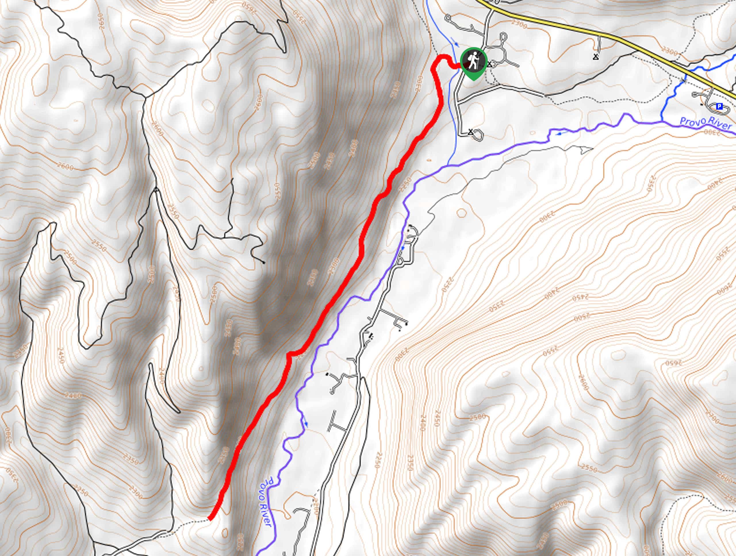
From Kamas head east along Utah highway 150 for just over 25.0mi. Take the turnoff for the Trail Lake and Crystal Lake Campgrounds, and the Crystal Lake Trailheads. After turning off the highway follow signs for the Crystal Lake Trailhead and find a spot in the limited parking area.

About
| When to do | Late Spring through Fall |
| Backcountry Campsites | Yes, Dispersed throughout the National Forest |
| Toilets | Yes, at trailhead |
| Family friendly | Yes |
| Route Signage | Average |
| Crowd Levels | High |
| Route Type | Out and back |
Clyde Lake
Elevation Graph
Weather
Route Description for Clyde Lake
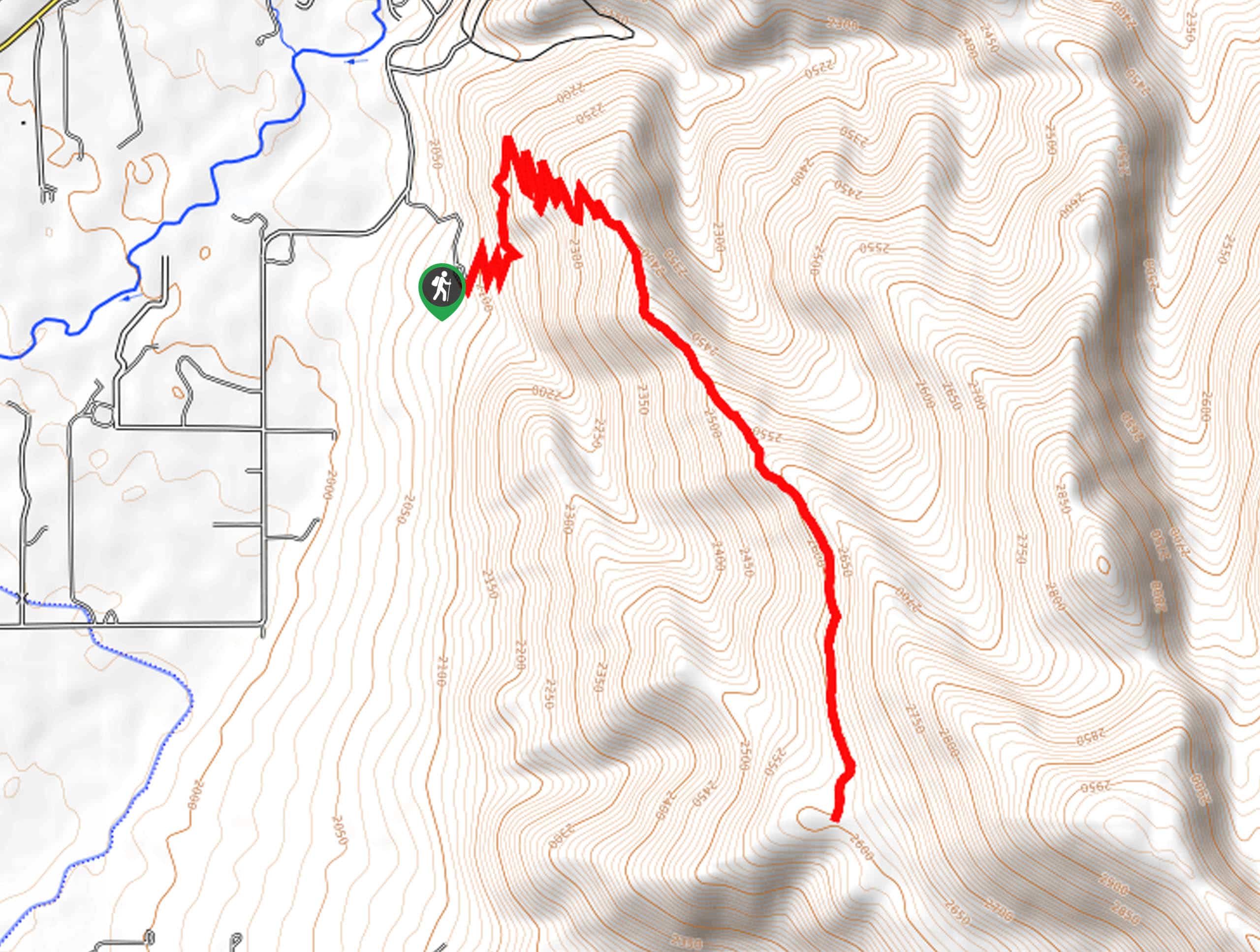
Find the trailhead directly beside the pit toilets, with signs towards Cliff Lake and Watson Lake. The wide trail is initially quite flat as it leads out to your first stop, Cliff Lake. Before arriving at the lake, however, you will arrive a junction where you will turn right.
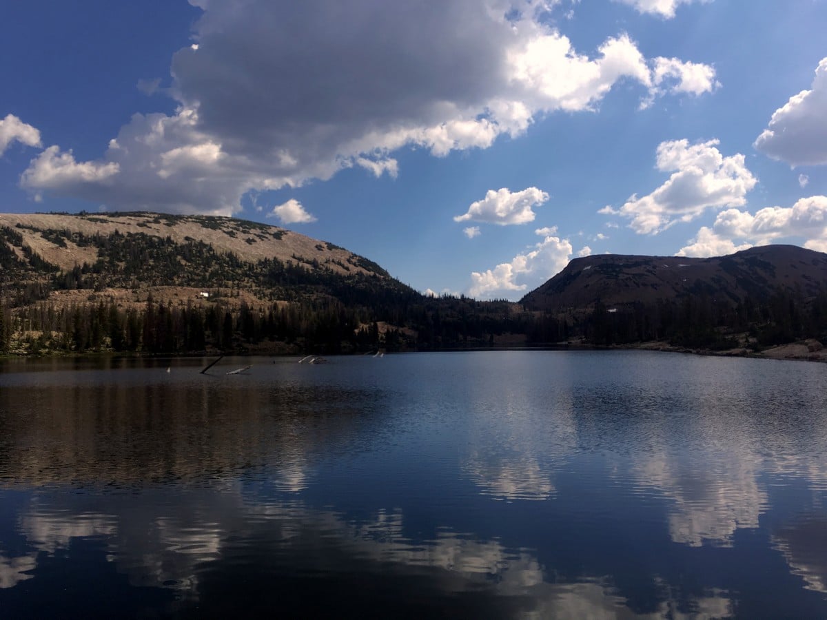
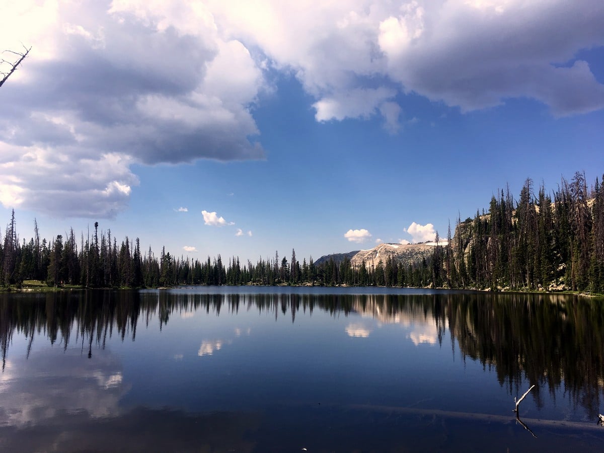
After passing by Cliff Lake, the trail will begin to gain more elevation. You will pass the aptly named Petite Lake, and then Watson Lake. This hike is really a “hits list” for incredible alpine lakes. All of them have a beautifully unique charm.
After a few switchbacks up a rough, rocky trail you will traverse along the side of Mt. Watson to finally reach the large and impressive Clyde Lake. From the West side – which you arrived on – the Notch Mountain will fill the view above the lake. We recommend following around the lake to the North edge and looking back to admire Mt Watson. Additionally, from this perspective the edge of the lake almost looks like an infinity pool, dropping off down to Wall Lake and the trail you ascended.
After admiring the stunning beauty of the alpine lake, return the way you came.
Find more great hikes in the Uinta Mountains:
Insider Hints
Pack a picnic for this bad boy. Clyde Lake makes such a scenic spot to enjoy a meal.
This is another extremely popular and easy backpacking destination.
A recreation pass is required to park in the National Forest, which can be purchased throughout the park. A National Parks Pass is also accepted.

Similar hikes to the Clyde Lake hike

Skull Crack Trail
Despite the foreboding name, the Skull Crack Trail is a fantastic hike in the Uinta-Wasatch-Cache National Forest. This trail follows…
Pine Valley Trail
The Pine Valley Trail is a wonderful route just southeast of Kamas, Utah. This trail is a lovely hike in…
Oakley Ridge Trail
The Oakley Ridge Trail is a gorgeous route just east of Oakley, Utah. This trail is moderately challenging with steep…
subterry 5 years ago
Beautiful hike. This place offers a lot of picture-perfect spots.
Meadow M. 5 years ago
Perfect for picnics with the family. Easy hike with a nice view of the lake.
applepanda 5 years ago
Short but pleasant hike. We really enjoyed the views of the lake.
Freddo 5 years ago
Nice short hike. Really pleasant.
mountaincat 5 years ago
Lovely walk
SJ 5 years ago
I enjoyed the hike to CLyde Lake, especially after weeding through the initial crowds.