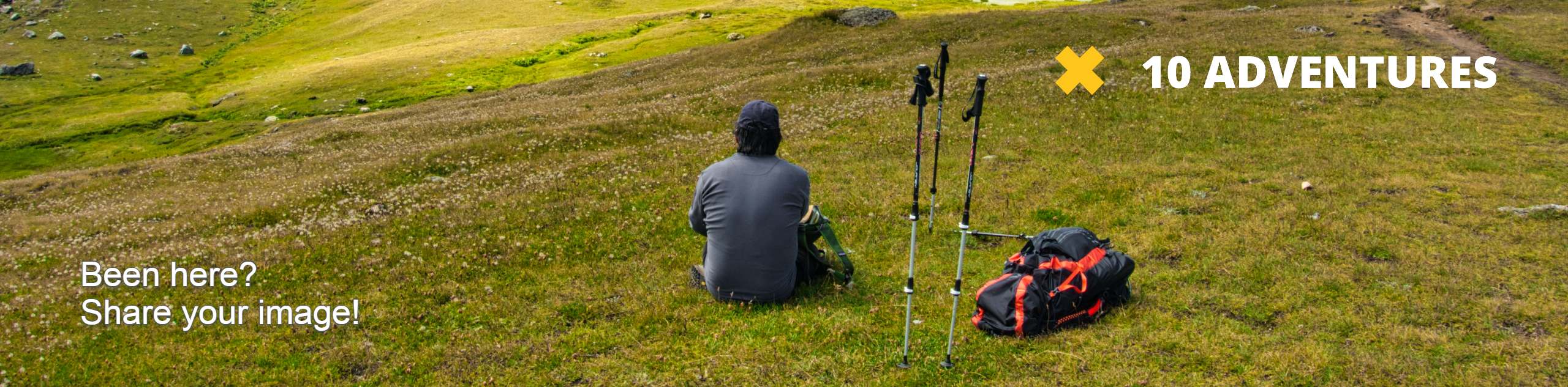
Castle Lake Trail
View Photos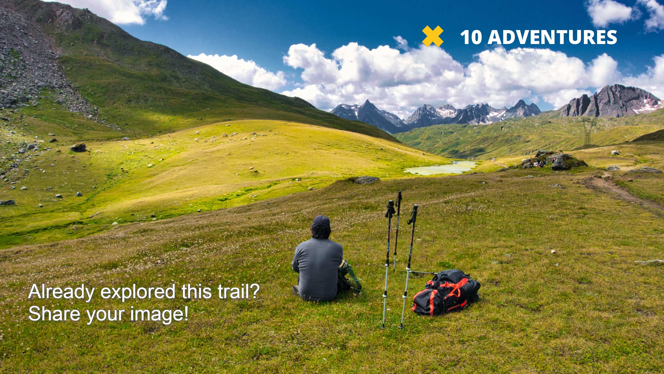
Castle Lake Trail
Difficulty Rating:
The Castle Lake Trail is a challenging route in the Western Uintas. This hike can be done either as a day hike or broken up over a few days by camping at Castle Lake. Dogs are welcome to join you on this trail, though please respect local wildlife and keep your dog close by while hiking.
Getting there
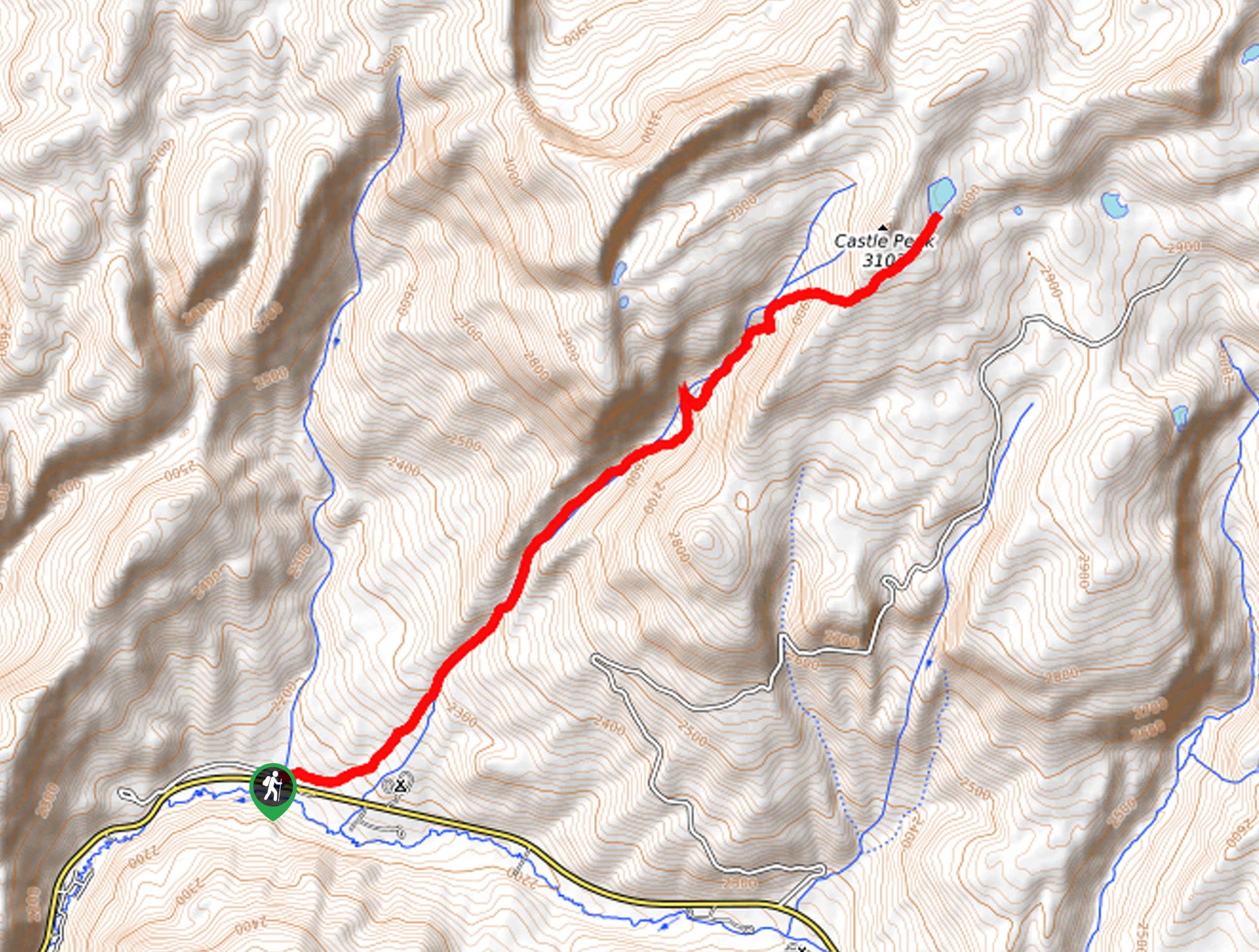
From Kamas, Utah, head east on Highway 150 for 6.0mi and look for the Yellow Pine Trailhead on the north side of the road. The Castle Lake Trail begins here.

About
| Backcountry Campground | Camping at Castle Lake, Yellow Pine Campground |
| When to do | May to October |
| Pets allowed | Yes - On Leash |
| Family friendly | No |
| Route Signage | Average |
| Crowd Levels | Low |
| Route Type | Out and back |
Castle Lake Trail
Elevation Graph
Weather
Castle Lake Trail Description
The Castle Lake Trail is a fantastic route in the western Uinta Mountains. This trail is challenging and for experienced hikers only. The Castle Lake Trail has some steep and loose sections, so hikers should arrive with proper, supportive hiking footwear; we also recommend bringing along a set of hiking poles for some extra support. Whether you do the Castle Lake Trail in one day or extend your hike into an overnight backpacking trip, this trail is an excellent adventure through the beautiful Utah wilderness.
From the Yellow Pine Trailhead, follow the Yellow Pine Trail northeast along Yellow Pine Creek for approximately 3.4mi to a divide. At the divide, take the path on your right to continue northeast past Castle Peak to Castle Lake.
Take a well-deserved rest on the shores of Castle Lake, then, when you’re ready, simply turn back and retrace your steps back to the Yellow Pine Trailhead where you began.
Similar hikes to the Castle Lake Trail hike

Willard Creek Waterfall Trail
The Willard Creek Trail is an adventurous yet beautiful hike on the eastern edge of Willard, Utah. This trail is…

Skull Crack Trail
Despite the foreboding name, the Skull Crack Trail is a fantastic hike in the Uinta-Wasatch-Cache National Forest. This trail follows…

Box Elder Creek Trail
The Box Elder Creek Trail is a lovely hike northeast of Salt Lake City. This trail is used by both…
Comments