Rouge Valley Loop via Vista Trail
View Photos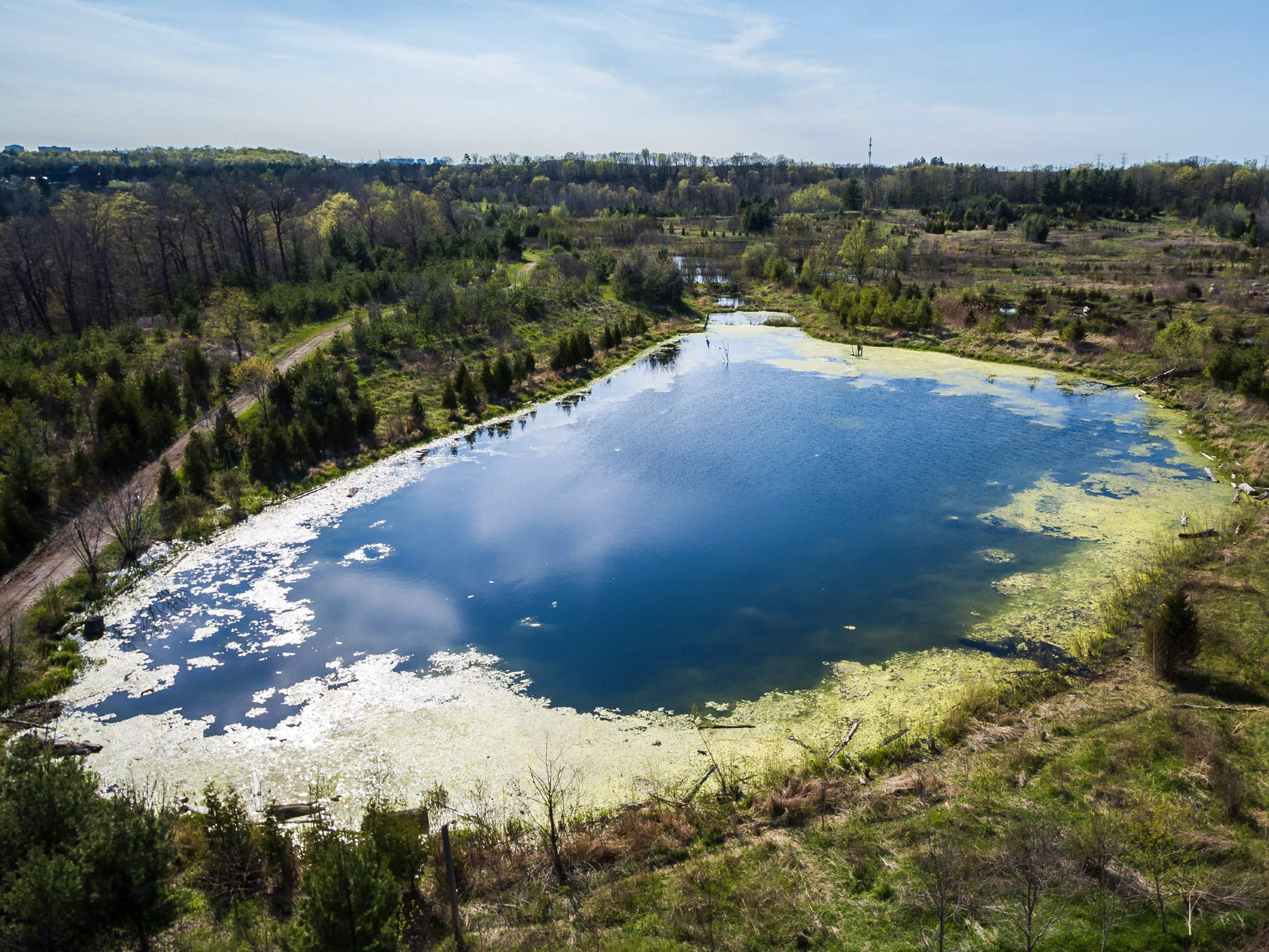
Rouge Valley Loop via Vista Trail
Difficulty Rating:
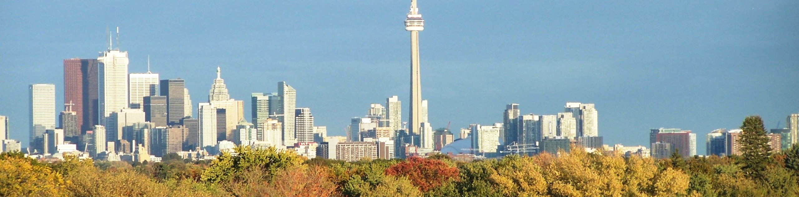
Hiking the Rouge Valley Loop via Vista Trail is a fantastic outdoor experience in the Greater Toronto Area that will take you through a peaceful stretch of woodland terrain to escape the hustle and bustle of city life. While out on the trail, you will make your way past winding creeks and up to an observation platform with views overlooking the forest. This is a great hike no matter the time of year; however, most people would agree that it is best done in the autumn, when the vast sea of green leaves changes to a myriad of yellow, orange, and red hues.
Getting there
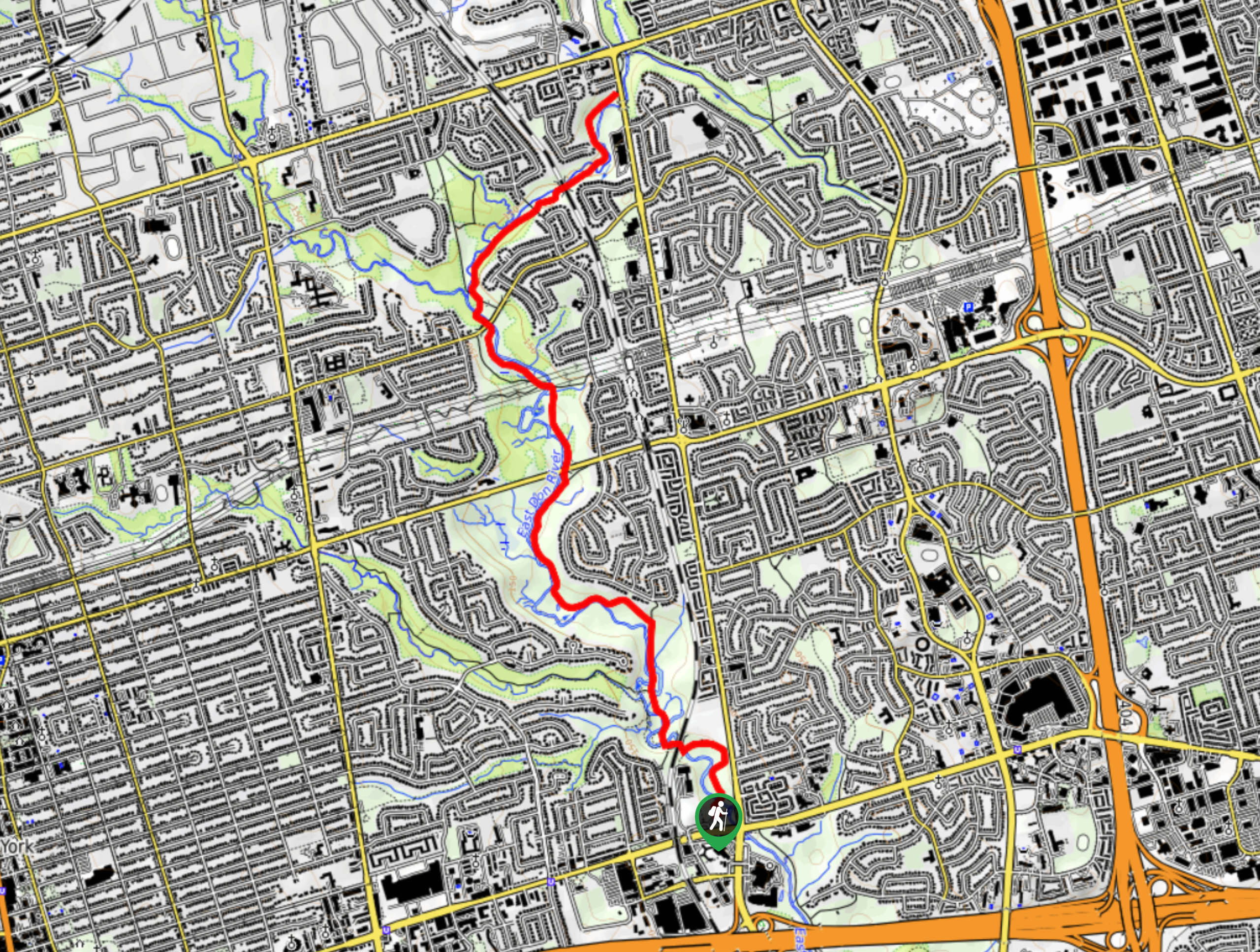
To reach the trailhead for the Rouge Valley Loop via Vista Trail from Scarborough City Centre, head north on McCowan Road for 1969ft and make a slight right to merge onto ON-401E. Continue on for 4.2mi and take exit 389 for Meadowvale Road. Use the two left lanes to turn onto Meadowvale Road and follow it for 1.2mi. Here, you will take the right lane towards Zoo Road, keeping right for 1640ft until you arrive at the trailhead.

About
| When to do | Year-Round |
| Backcountry Campsites | Glen Rouge Campground |
| Pets allowed | No |
| Family friendly | Older Children only |
| Route Signage | Average |
| Crowd Levels | High |
| Route Type | Circuit |
Rouge Valley Loop via Vista Trail
Elevation Graph
Weather
Rouge Valley Loop via Vista Trail Description
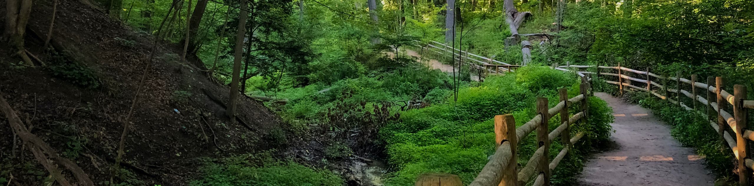
Although you will experience a feeling of having left the city behind, the Rouge Valley Loop via Vista Trail is still an urban hiking route, and as such, it will likely become quite busy during peak hours and on weekends. Be sure to arrive early enough to secure parking and beat out the crowds onto the trail. With the exception of a few short but steep climbs, this route is relatively easy and can be undertaken by beginner hikers and families with children (do be mindful of the cars driving by on backroads). Due to some exposed roots and rocks, you will want to wear some decent hiking footwear with ankle support.
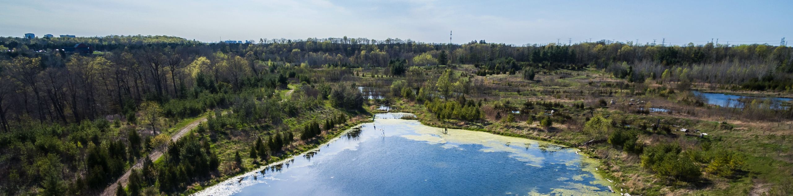
Even though it may be a busy day on the trails, hiking the Rouge Valley Loop is a fantastic experience in the GTA that will really allow you to disconnect from city life and get back in touch with nature. Beautiful views of the surrounding woodland landscape, the rushing waters of the Rouge River and Little Rouge Creek, as well as the option to camp in the Glen Rouge Campground all await on this spectacular outdoor adventure.
Setting out from the parking area near the conservation centre, follow the wide track to the southeast for 344ft and head left at the fork. Continue on for 919ft, walking through a brief stretch of forest until you arrive at a viewing platform on the edge of a hydro cut. From here, you will enjoy some spectacular views of the surrounding woodland landscape, with the waters of the Rouge River cutting across the park to the south. This is a beautiful spot at any time of the year; however, the vibrant colours of the leaves really come alive during the fall, when they shift from green to a variety of oranges, yellows, and reds.
After taking in the scenic views, continue on to the southeast to pass through the hydro clearing and re-enter the tree cover. Keeping left for 0.7mi from the viewing platform, you will descend slightly along the trail and arrive at a junction with Twyn Rivers Drive. Head left and follow the road for 285ft before picking up the trail on your right that will lead you through the forest along Little Rouge Creek.
Arriving at another junction in the trail, keep left and continue through the quiet atmosphere of the woodland landscape for 0.4mi, climbing uphill before arriving at a fork. From here, you will take the path on the right and keep straight through the next junction, following the trail along a forested loop that will provide some nice views of the Rouge River. At the point where you come closest to the water, you will arrive at another junction in the trail. Take the path on the left that leads uphill through the forest to the northeast.
From the top of the hill, head right at the junction and continue to the east for 0.8mi, following the trail as it once again descends the hillside to meet up with the banks of the river at a bridge crossing next to the Glen Rouge Campground. Make your way onto the bridge to get some nice views of the rushing water below before turning back to retrace your steps uphill through the forest to the west to return to the previously mentioned junction.
Head to the right here and follow the forested path for 476ft, where you will need to make a sharp left along the trail. Make an immediate right and follow the path slightly uphill through the tree cover until you arrive back at the edge of the Little Rouge Creek. Turning left here will lead you back to Twyn Rivers Drive. Once there, turn left onto the road and follow it for 285ft to pick up your initial trail on the right side.
Make your way along the forested path as it leads you uphill for a short distance to arrive at yet another fork. Heading right here will take you back to the viewing platform near the starting point of the hike. If you would rather get a change of scenery, head to the left and pass through the hydro clearing, following the trail for the next 0.79km to arrive back at the parking area having completed the Rouge Valley Loop.
Insider Hints
Be sure to arrive early, as parking can fill up quickly and the roads can become quite busy with visitors heading to the nearby zoo.
Wear proper hiking footwear, as this trail has exposed roots and rocks that make the terrain uneven.
Keep an eye out for deer that can sometimes be spotted in the area.
Similar hikes to the Rouge Valley Loop via Vista Trail hike
East Don Parkland Trail
Hiking the East Don Parkland Trail is a great way to spend an afternoon exploring a small slice of nature…
Glen Stewart Park Trail
Hiking the Glen Stewart Park Trail is a quick and easy outdoor experience in the east end of Toronto that…
High Park Trail
Hiking the High Park Trail is a wonderful experience in the west end of Toronto that will expose you to…
Comments