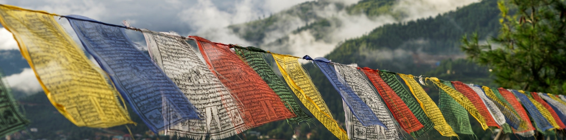
Pomola hike
View Photos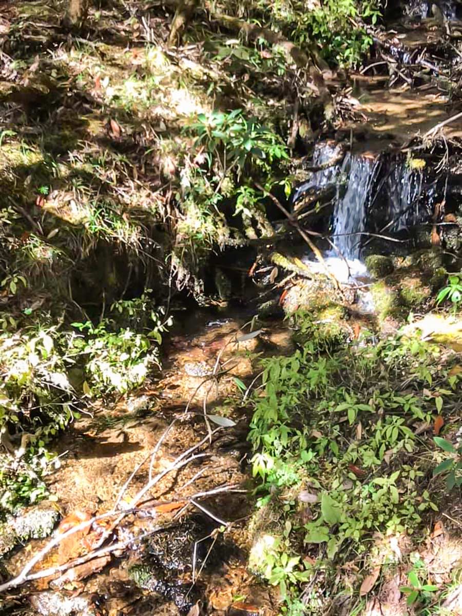
Pomola hike
Difficulty Rating:
Embroidered with quintessential Bhutan vistas, a blue pine forest, and animals and plants dotting the land, the Pomola Hike doesn’t disappoint. As you wander, it’s likely that you’ll come across horses and yaks. When you reach Pomola Pass, the number of trails grant you the chance to choose your end point.
Getting there
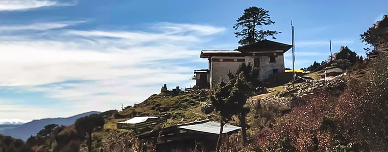
The start point is above the Takin Reserve, at a small tea shop.

About
| When to do | All year long |
| Backcountry Campsites | No |
| Family friendly | Yes |
| Route Signage | Poor |
| Crowd Levels | Low |
| Route Type | Out and back |
Pomola
Elevation Graph
Weather
Route Description for Pomola
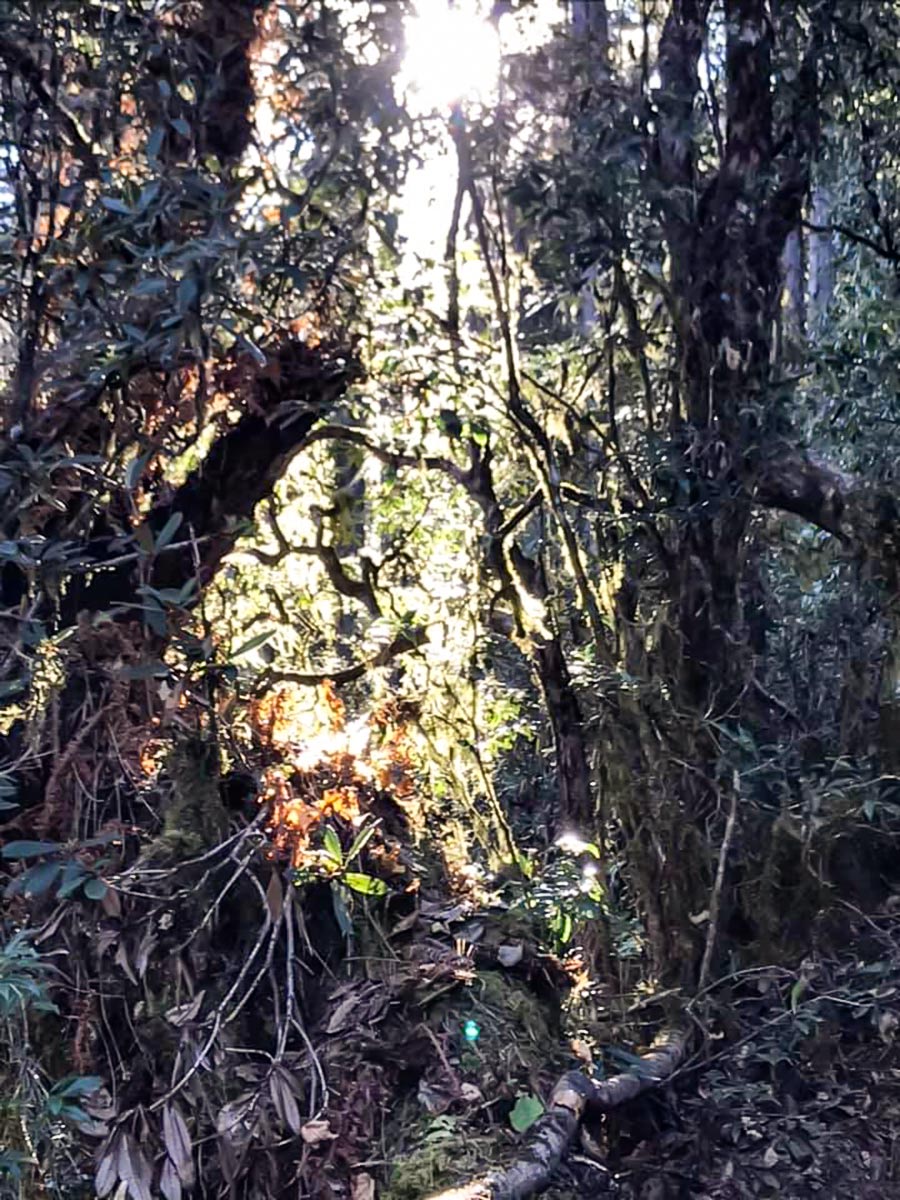
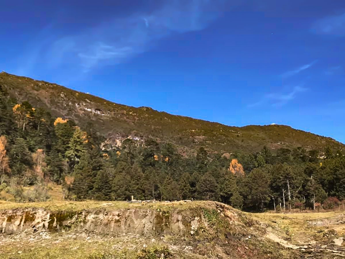
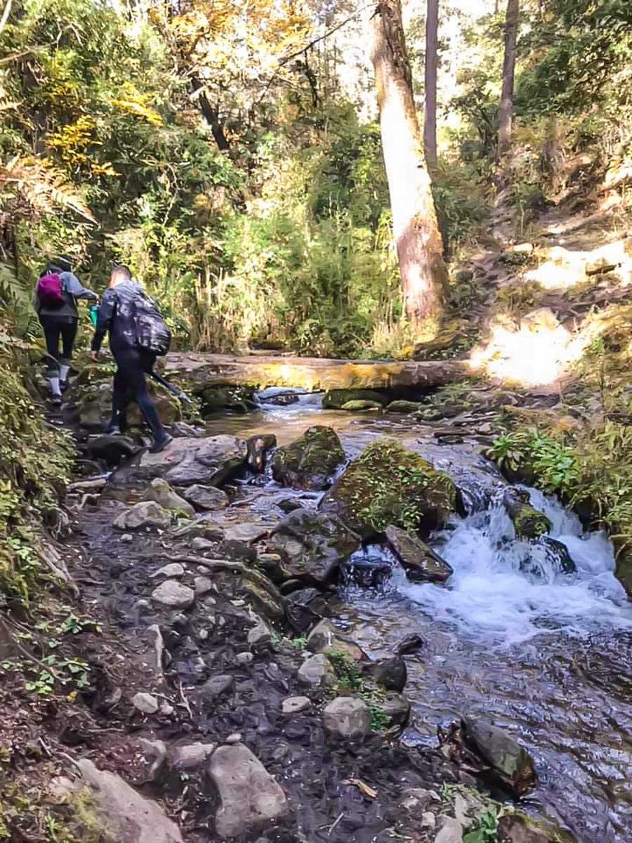
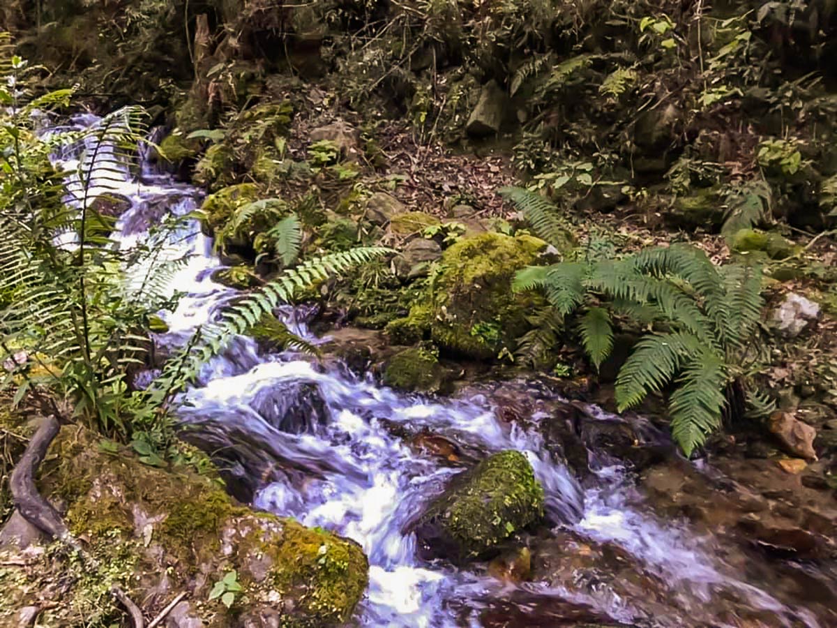
The Pomola track follows the river down below Phajoding. The start point is above the Takin Reserve, at a small tea shop. It winds through blue pine forest, with varying plant and animal life, including the famous rhododendron. Sometimes the horses from the Druk Path use this track. Let them pass or they might push you off. This is a yak herding path and you will come across a number of grazing fields. Sometimes the path is trampled to mush by the beast traffic, but the plus of this is that this action creates a clear trail.
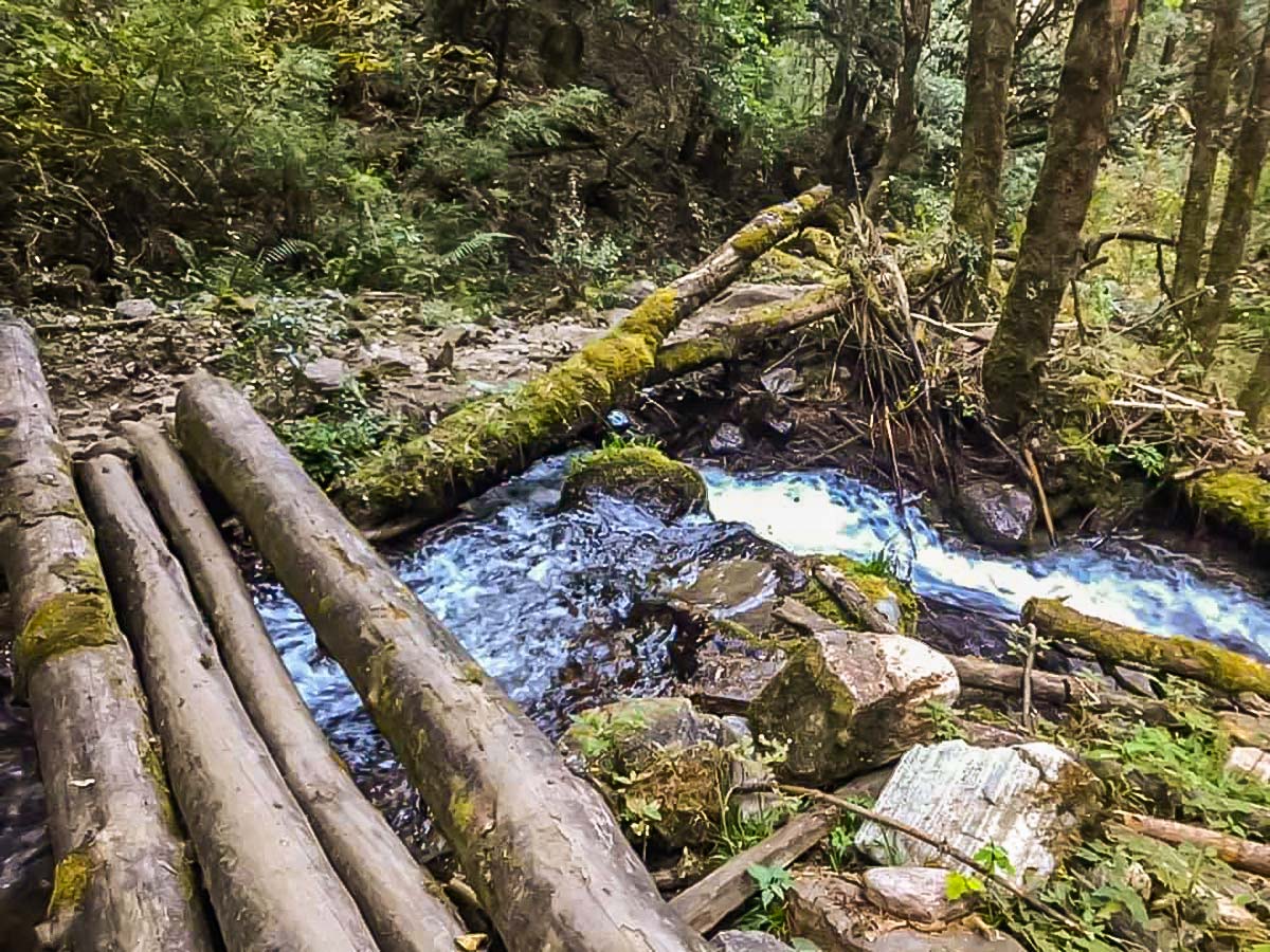
There’s a clearing with a large ‘picnic’ rock in the middle just after the trail rejoins the creek. It’s a good place for a lunch or a snack break. Cross the creek and head to the left, following the path. It splits and rejoins frequently so it doesn’t matter which route you take. If you lose the path when it crosses a meadow, just keep heading up and you should be able to find it again.
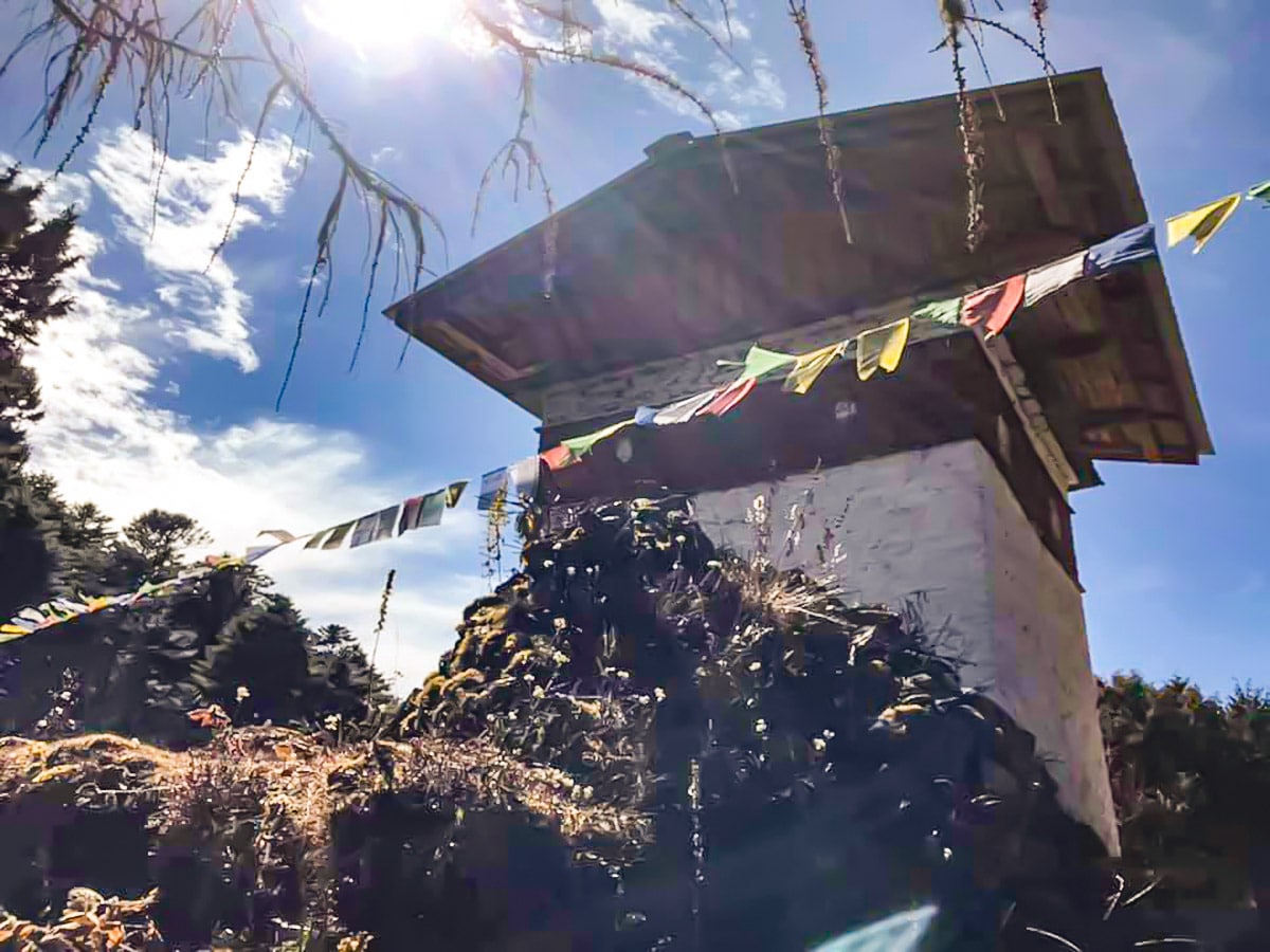
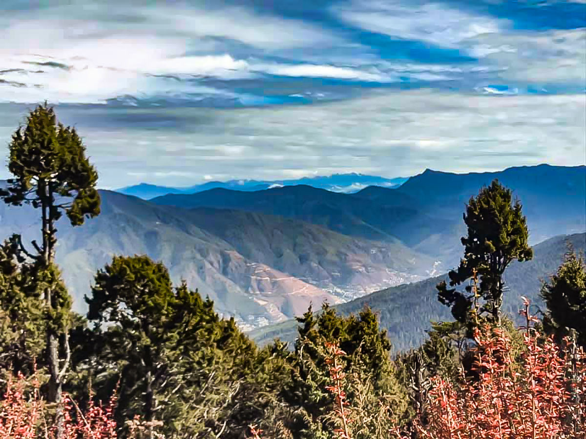
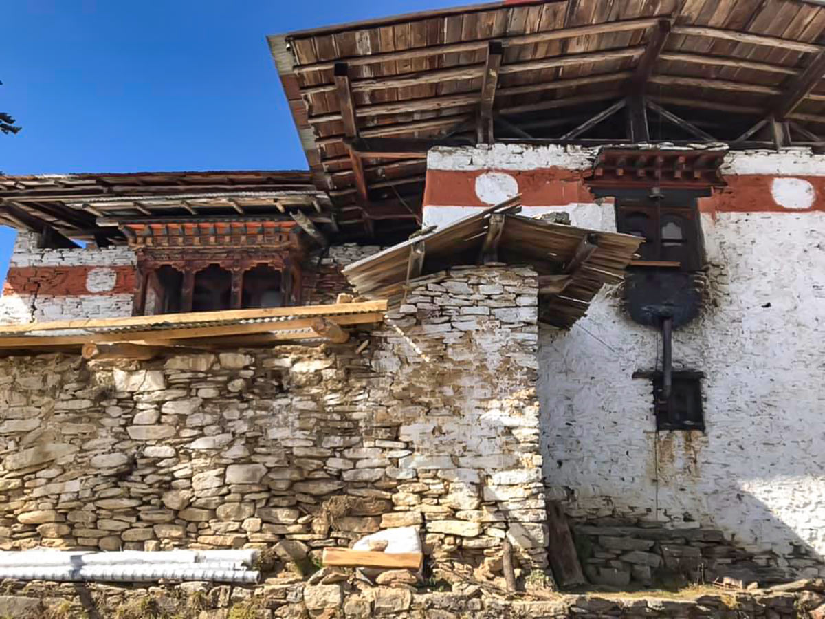
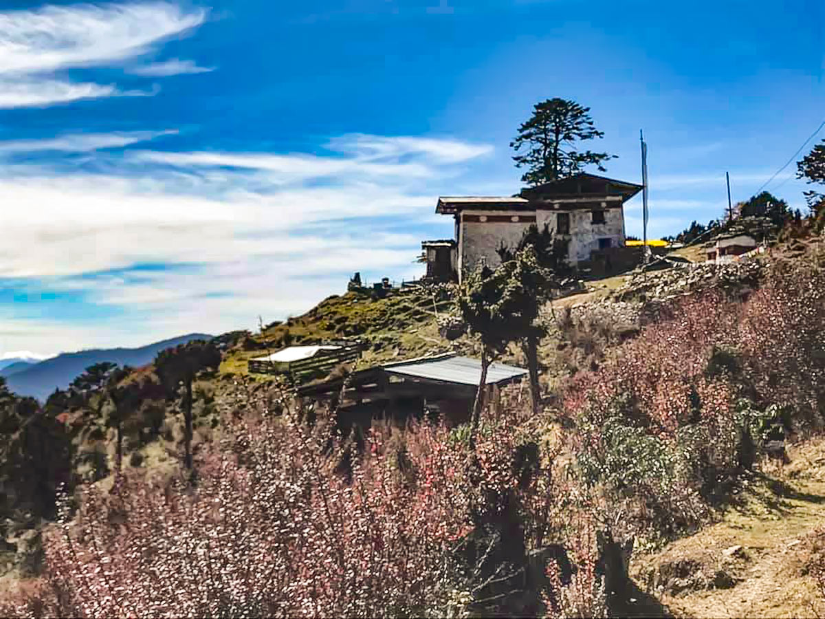
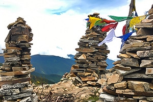
Once you reach the Pomola Pass, denoted by a chorten, there are a number of options, each of which will take you to a different end point. To the right is the gompa and the path that joins the Phajoding track; the track straight ahead will take you to Paro, parallel to the Druk Path (some horsemen take this track back to Paro in a day after supporting groups on The Path – it is not recommended to try this without a guide); the path to the left will take you back to Thimphu Buddha Point. Whichever path you choose, ensure you have enough time.
Insider Hints
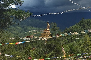
Because the tracks invariably lead to Thimphu, it’s easy enough to hail a taxi once you finish the hike.
Parts of this track go next to Royal property, if you see a fence with a hole that you think might cut down your walking time, don’t take it unless you want to explain what you’re doing there to the Royal Guards.

Similar hikes to the Pomola hike
Lungchutse
The Lungchutse day-hike will take you through woodland groves peppered with hemlock trees, junipers, and rhododendrons. Once you reach the…
Chele La Pass
Exploding with an unspoiled, hushed ambience, the scenery blanketing Chele La Pass envelops any trekker. Depending on what time of…
Buddha Point
The hike to Buddha points traverses the lush mountainside blanketing the landscape, allowing you to admire the sprawling Thimphu valley…
Sophia Martell 4 years ago
Beautiful view of the wildlife. This trail winds through the blue pine forest, with varying plant and animal life. I was amazed by the beautiful scenery of this place.
Sophia Martell 4 years ago
There's a cool picnic spot. It was an awesome and challenging hike. Definitely worth visiting again.
Joshua L. 4 years ago
Pomola hike is phenomenal. The blue pine forest was very nice.
Morgane qk 4 years ago
Pomola hike was an awesome, rewarding and challenging hike.
Juan L. 4 years ago
It was rich in natural wonders, and we admire their arts and crafts. Bhutan has a rich culture.
Alon GR. 4 years ago
This hike is full of surprises. I was extremely pleased with the wonderful scenery.
Dennis Pein 5 years ago
not that easy, but well worth the visit!
Arthur K. 5 years ago
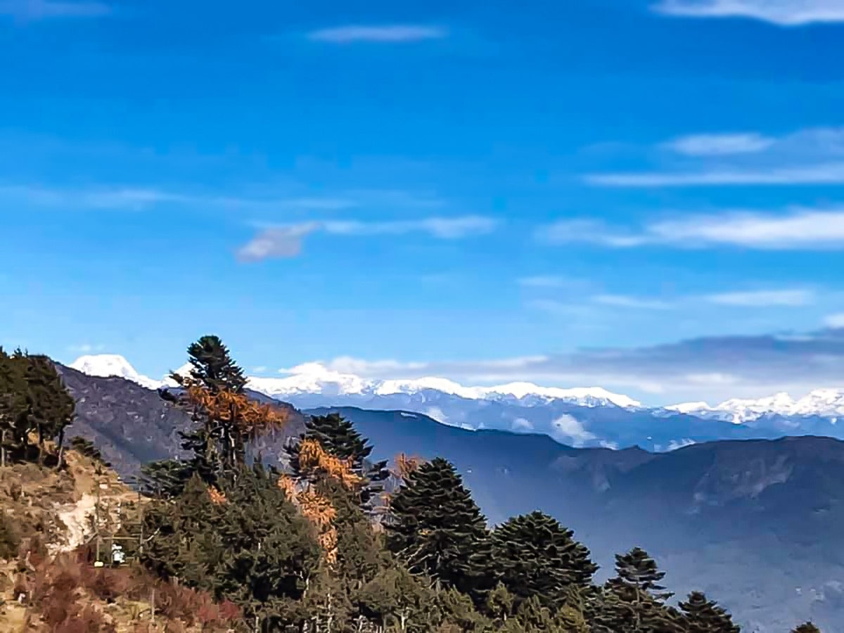
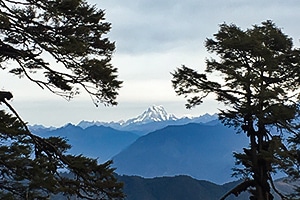
There unnamed falls to see while doing the hike. I was also astonished to see the snow-capped mountains at some point.
Aric O. 5 years ago
Lovely, rewarding hike! Arrive at 6am and I'm the only one in there. Ascending was pretty challenging but the vistas and the pine forest were remarkable.