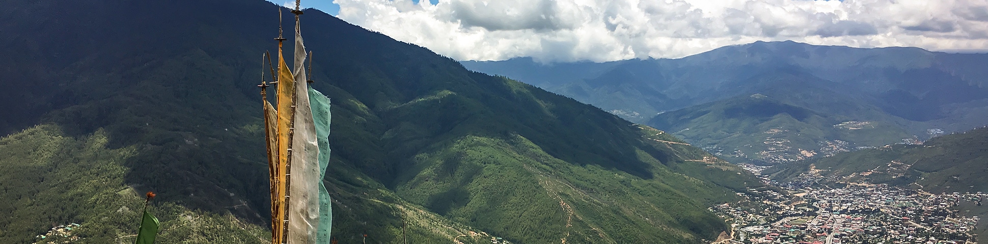
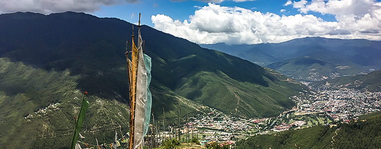
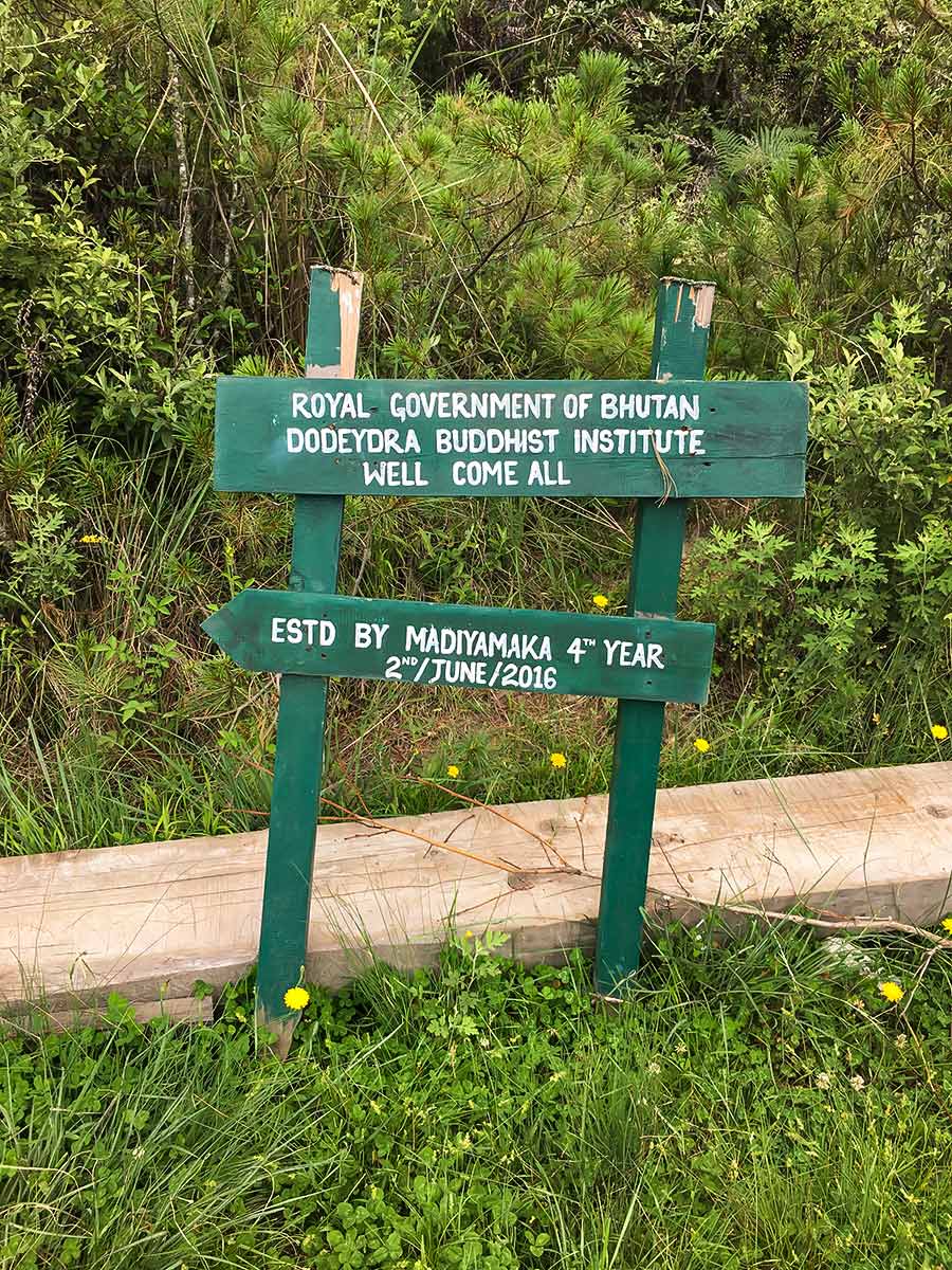
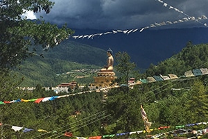
Dodeydrak Monastery Hike
View Photos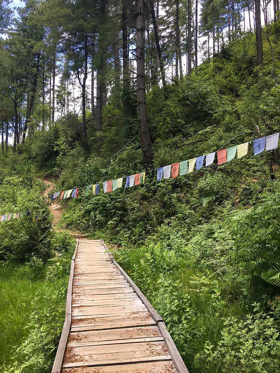

Dodeydrak Monastery Hike
Difficulty Rating:
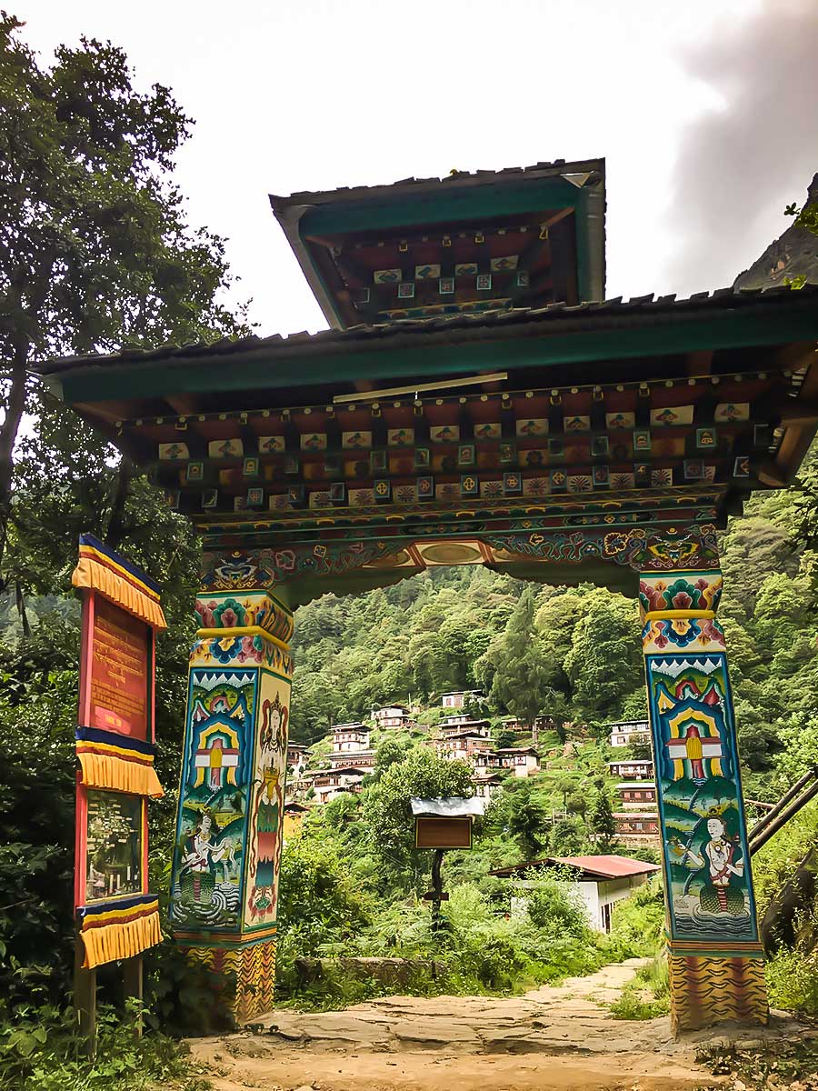
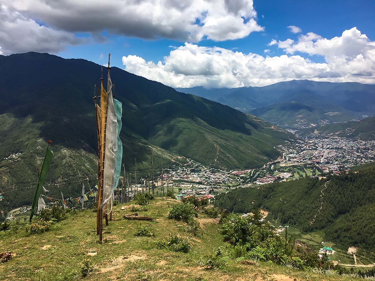
The Dodeydrak Monastery Hike embodies a more rural, off-the-beaten-path vibe. Mingle with the locals as you make your way to the mountain-tucked Dodeydrak Monastery, resting on a slope. The friendly atmosphere and peculiar monastery architecture will undoubtedly please you.
Getting there
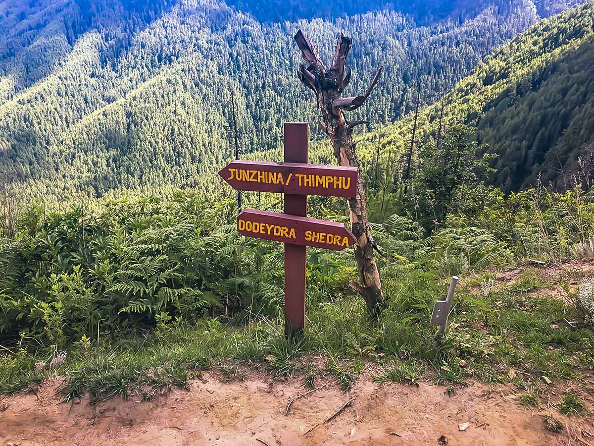
The trailhead is not very well known so we advise on giving the coordinates to the driver directly.

About
| When to do | All year round |
| Backcountry Campsites | No |
| Family friendly | Yes |
| Route Signage | Poor |
| Crowd Levels | Moderate |
| Route Type | Out and back |
Dodeydrak Monastery Hike
Elevation Graph
Weather
Route Description for Dodeydrak Monastery Hike
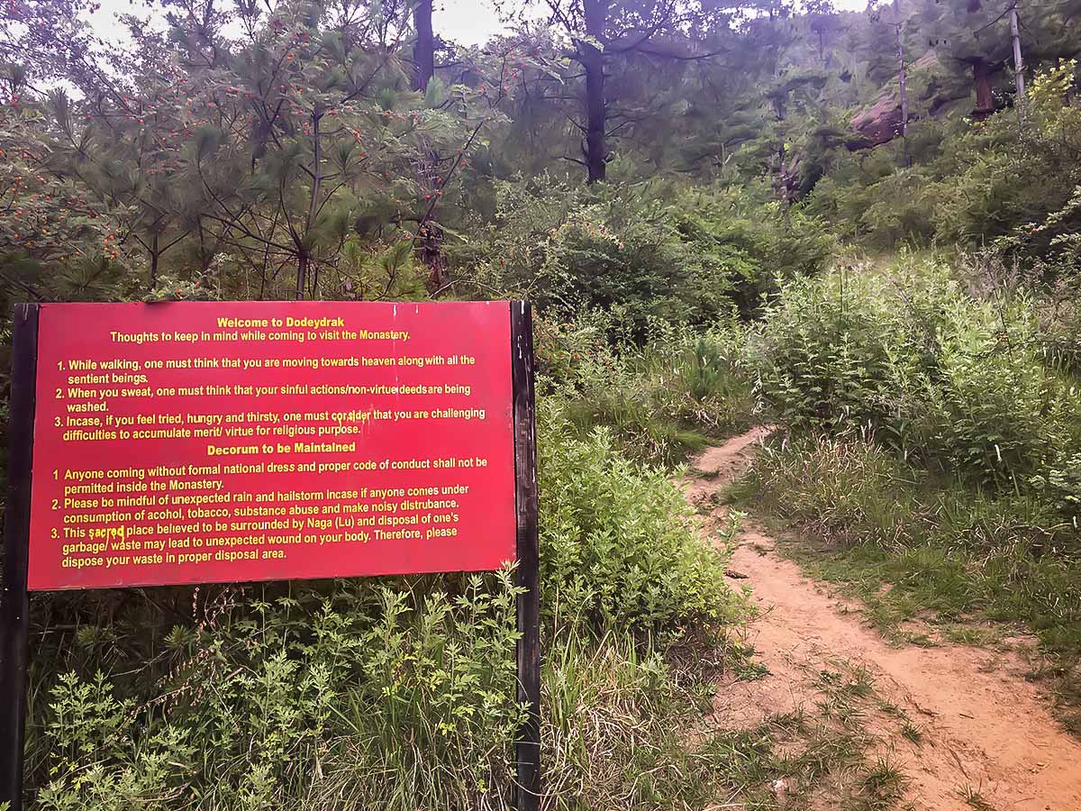
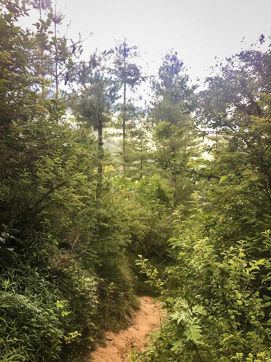
The trek to Dodeydrak has two approach points. One is very steep, not very well tendered and slippery, while the other offers a gentler ascent and a better path. Our map shows taking the same path both ways, but we suggest taking the mild ascent up and considering the unruly route down. Keep in mind that no matter which route you choose, there’s only signage at the beginning and at the end of the trail. It’s tough to get lost, though!
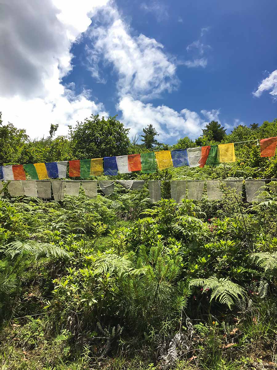
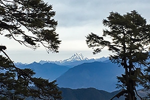
There is a plethora of wildlife and ever-changing forest and flowers. There are a number of rest points, constructed mostly by locals. You’ll also see numerous locals on this trail, and they will definitely ask you where you’re going, even if it’s pretty obvious. Eventually, you’ll reach the top of the trail. It may seem like an underwhelming end point, but you still need to walk another couple of hundred meters until you reach the monastery.
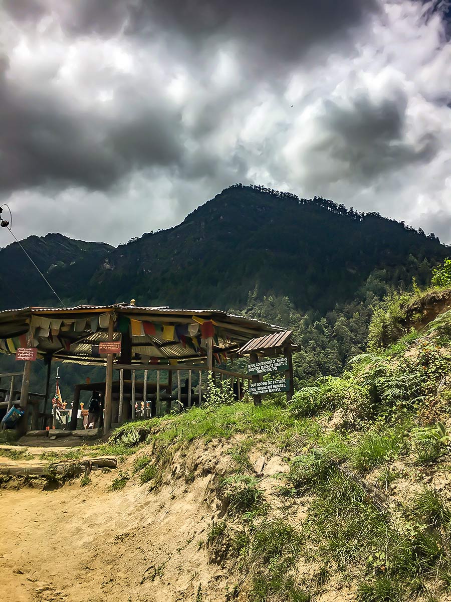
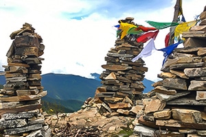
The top of the track is a popular rest spot. Expect bathrooms, a tap for water, and an amusing sign advertising the grand final of the inter-monastery soccer tournament. Most people stop here for a snack or lunch—there are plenty of eating spots once you reach the monastery. Walk for another 20 minutes downhill, and you’re there!
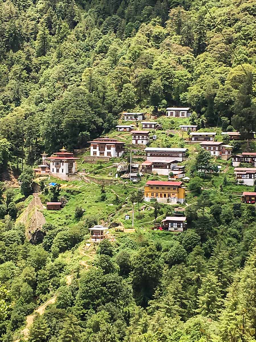
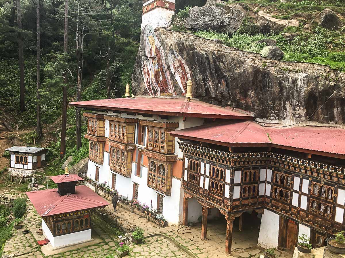
The monastery itself houses a large number of monks who do their studies, learn how to play ceremonial instruments, and mold the sugar sculptures seen on many altars as offerings, among other things. There is a museum on-site and a monk may ask you to sit in on their practice. You can also just sit and admire the view, pat the dogs or circumambulate the chorten. There’s also a family of white macaque monkeys wreaking havoc around the goempa. They like to tear up flowers and steal offerings.
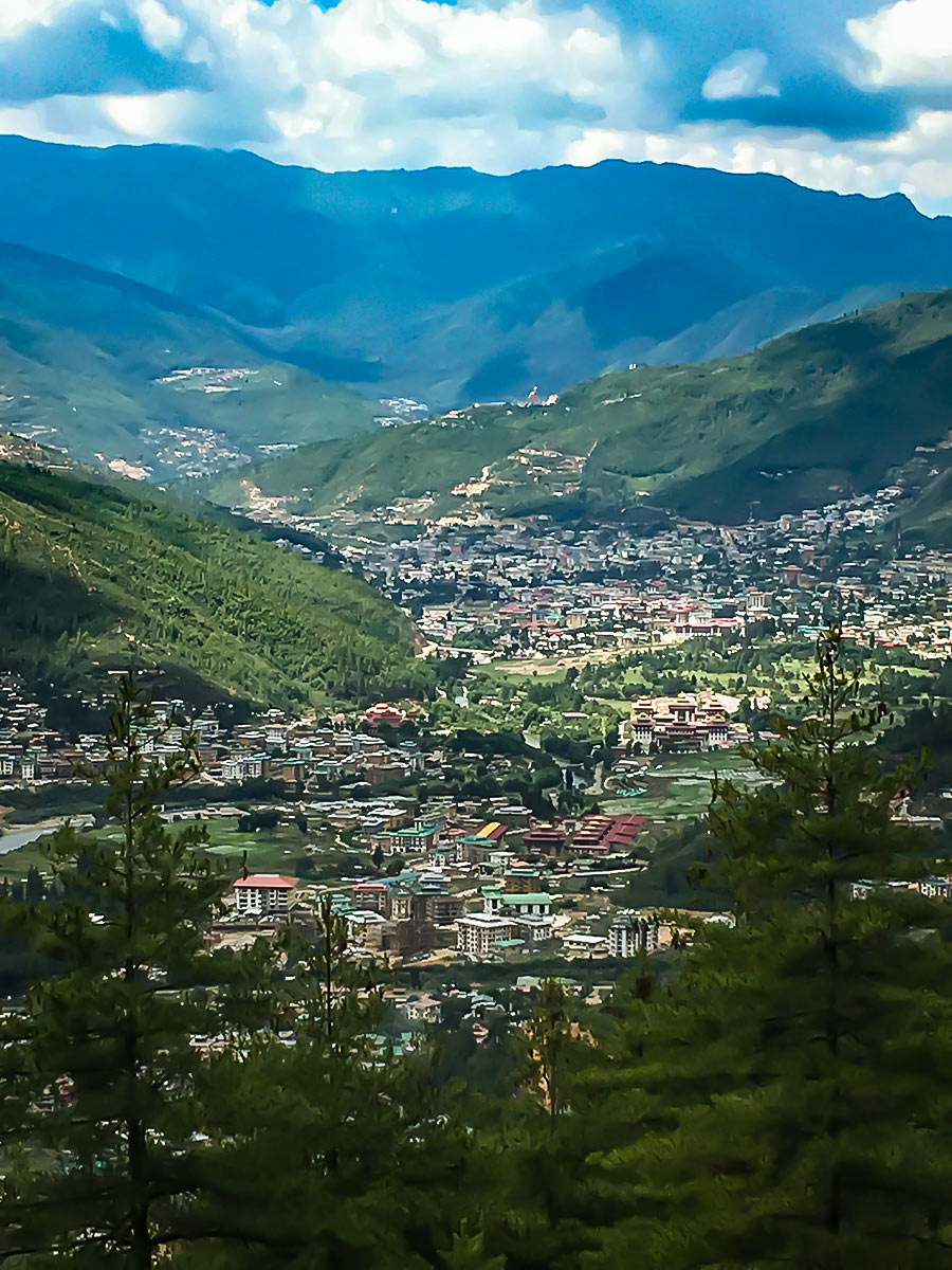
On your way back, after the lookout, take the track to the right—this is an alternate trail to the one you came in on—and it will lead you down quite a steep track. This is another path you probably don’t want to take in the rain or during a monsoon, as it will be quite slippery. The path goes over an aqueduct and spits you out on the road. Turn left to head toward town, past the army barracks, and then turn right at the gatehouse. From here, it’s pretty easy to hail a cab to take you back to town.
Insider Hints
Taxi drivers can have a bit of difficulty finding the start point for this trek. They’re happy to take direction from you. Tell them that the road is paved. The start point coordinates are 27.521163, 89.634617.
Let the monastery know in advance if you wish to stay and they will cater for you (very simple Bhutanese meals – if you don’t like chili let them know). They won’t ask for money, make an offering in the box at the guesthouse. Booking can be difficult, enlist the services of a travel agent for this one.
The monks’ practice is piped through speakers down into the valley, it will also wake you before dawn so take earplugs if you don’t want this to happen.
There is a path leading down from the chorten at the monastery that the monks take. Don’t be tempted to follow them, it takes you through a military compound and you don’t want to be explaining to them what you’re doing there.

Similar hikes to the Dodeydrak Monastery Hike hike
Lungchutse
The Lungchutse day-hike will take you through woodland groves peppered with hemlock trees, junipers, and rhododendrons. Once you reach the…
Chele La Pass
Exploding with an unspoiled, hushed ambience, the scenery blanketing Chele La Pass envelops any trekker. Depending on what time of…
Buddha Point
The hike to Buddha points traverses the lush mountainside blanketing the landscape, allowing you to admire the sprawling Thimphu valley…
Angela G. 4 years ago
It was accessible for everyone. I appreciate the well-maintained path to the monastery.
Josh Pauper 5 years ago
It was a great hike, but don't forget to apply some insect repellent to avoid mosquito bites.
Richard Conrad 5 years ago
Stunning hike with lots of options. We took a marvelous scenic route and it was a fantastic experience.
Arthur K. 5 years ago
I admire the people as much as the beautiful hike. People here are very respectful to others.
Dennis Pein 5 years ago
most sections are easy, but some are challenging because of the slippery trail, best to bring hiking poles if you plan to go here.
Nicholas P. 5 years ago
Amazing short hike. There's a myriad of scenery to see along the way. This is a must-do hike!
Aric O. 5 years ago
This moderate hike offers a lot. From incredible flora and fauna to excellent views. I highly recommend it.
Ewenn 5 years ago
Beautiful rural area. There are wonderful things to see and the locals were friendly.
Andrea Quintera 5 years ago
Excellent trail. Very well maintained. The incline was gentle but steady so it is very manageable.