
Chele La Pass hike
View Photos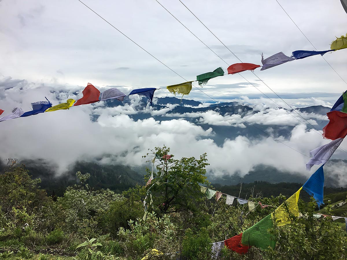
Chele La Pass hike
Difficulty Rating:
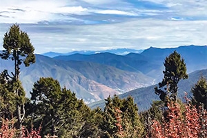
Exploding with an unspoiled, hushed ambience, the scenery blanketing Chele La Pass envelops any trekker. Depending on what time of year you hike, you’ll notice the enchanting blue poppies dotting the valley. The end of the hike will take you to the nunnery, which is set along the mountain face.
Getting there
The trailhead can be found right where the highest point of Bondey-Haa Highway is. This location is marked with a big yellow sign.

About
| When to do | March-June |
| Backcountry Campsites | No |
| Family friendly | No |
| Route Signage | Poor |
| Crowd Levels | Moderate |
| Route Type | Out and back |
Chele La Pass
Elevation Graph
Weather
Route Description for Chele La Pass
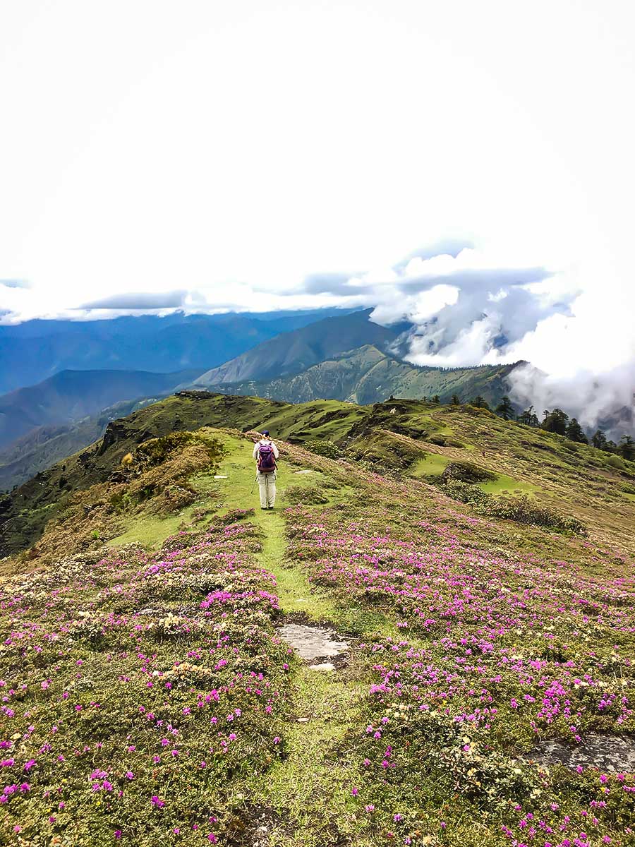
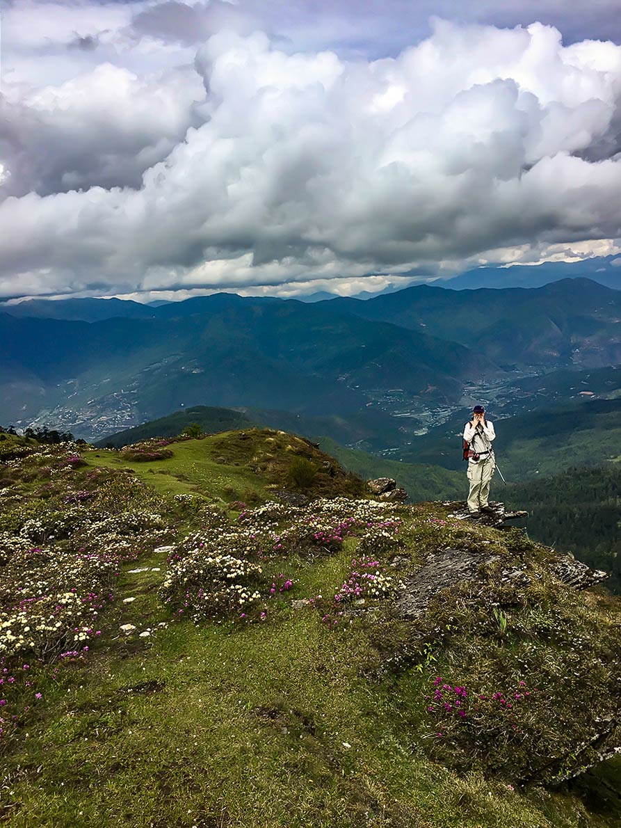
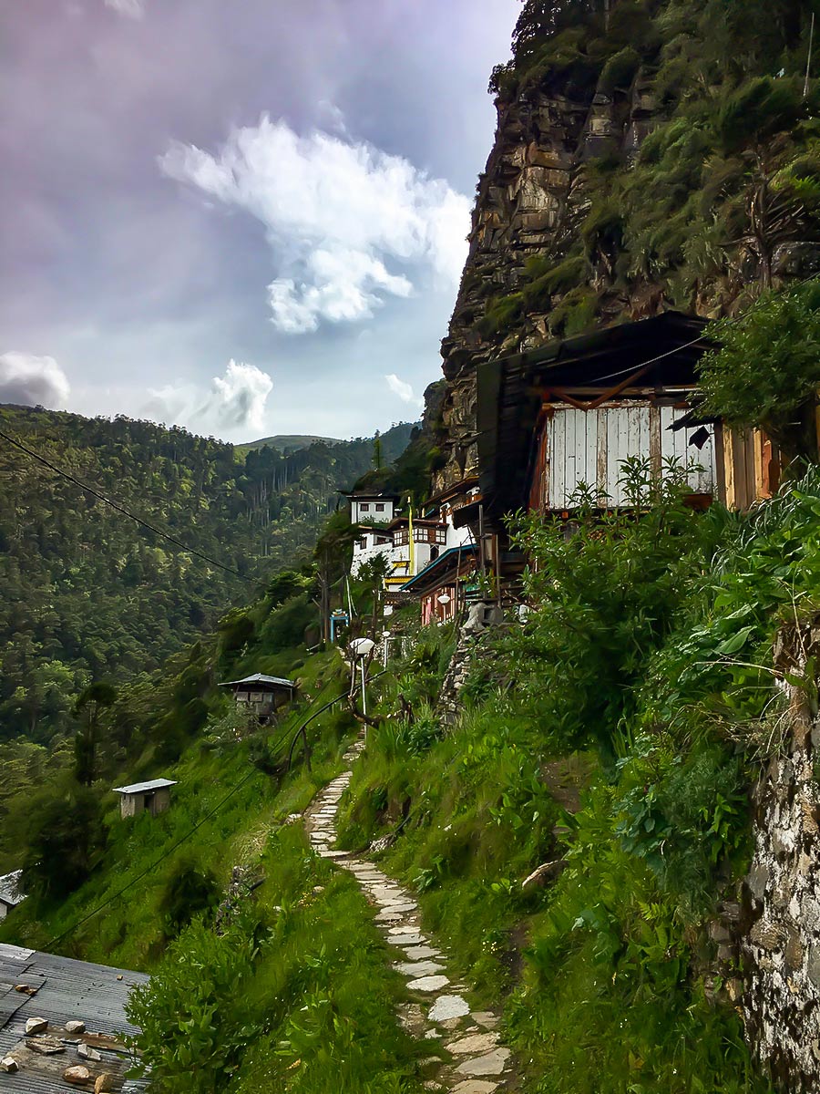
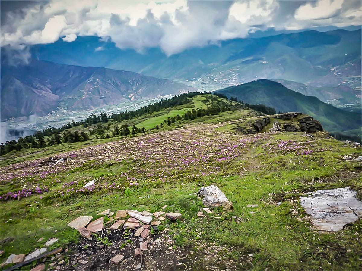
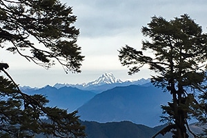
Chele La Pass is the highest mountain pass in Bhutan, and it’s about a 2-hour drive from Thimphu and a 1-hour drive from Paro. The dramatic pass offers views of the Paro valley to the right and Haa valley to the left. There are a few different tracks from the pass, so the one you choose will depend on how much time you have as well as how much walking you want to do. The endpoint for two of the treks is the nunnery, which you’ll see balancing on the hillside on the drive up. Alternatively, you can go up and back any of the trails leading away from the pass.
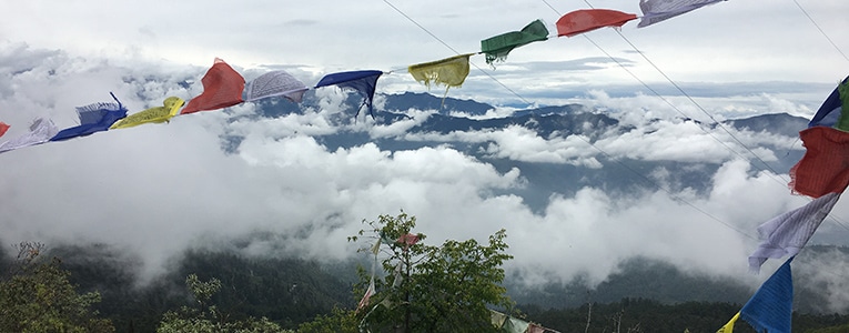
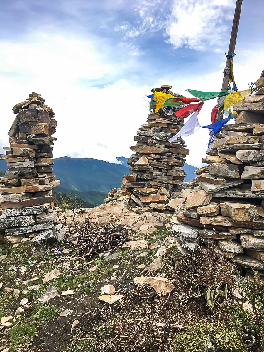
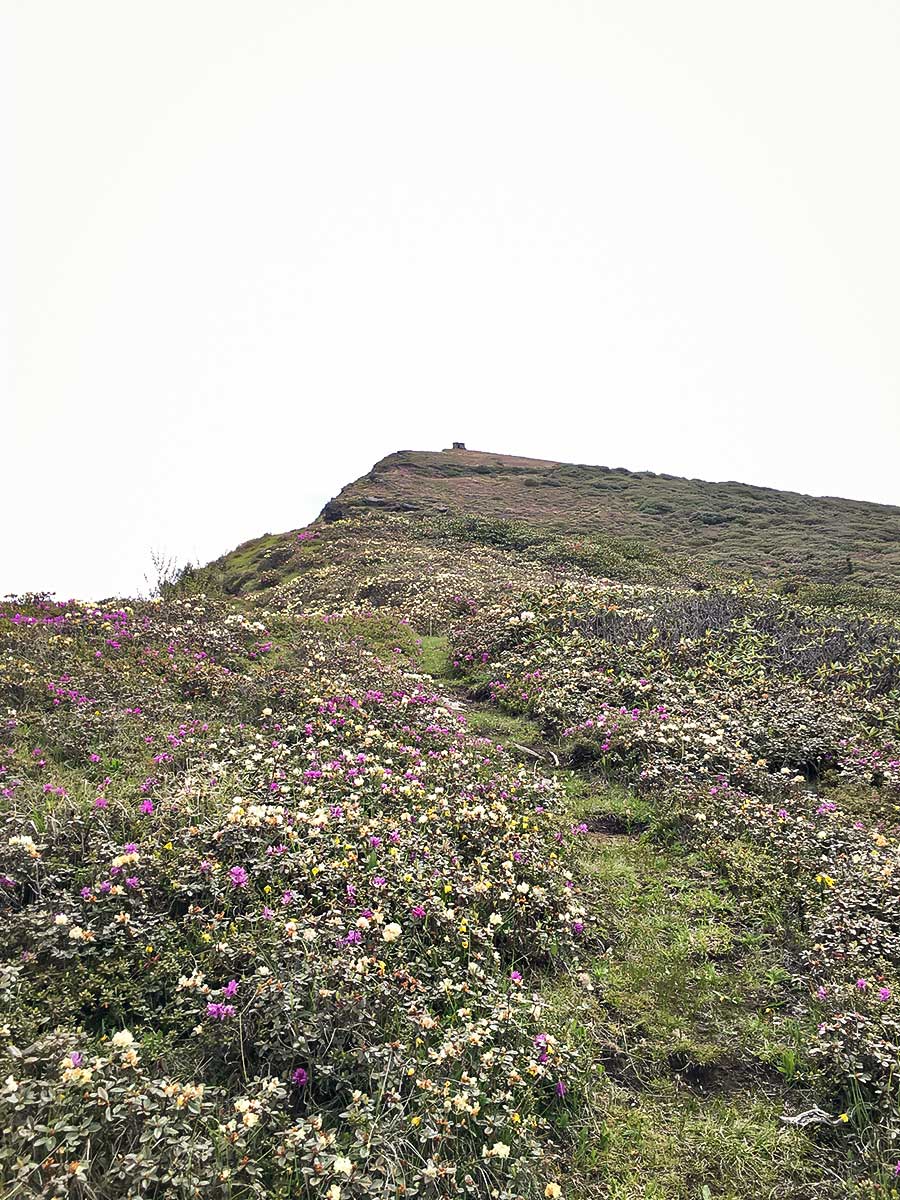
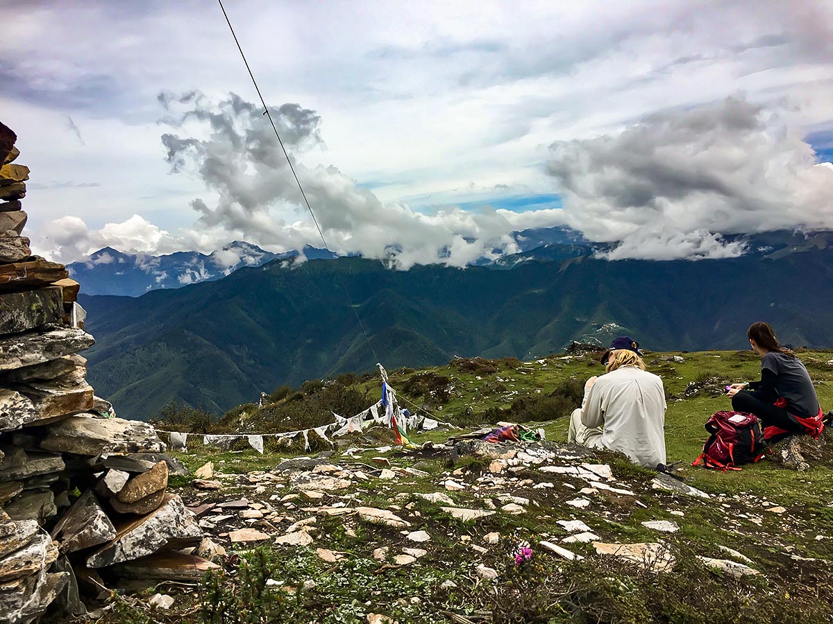
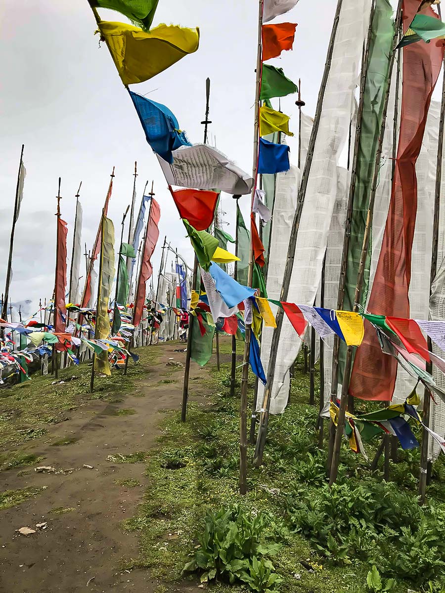
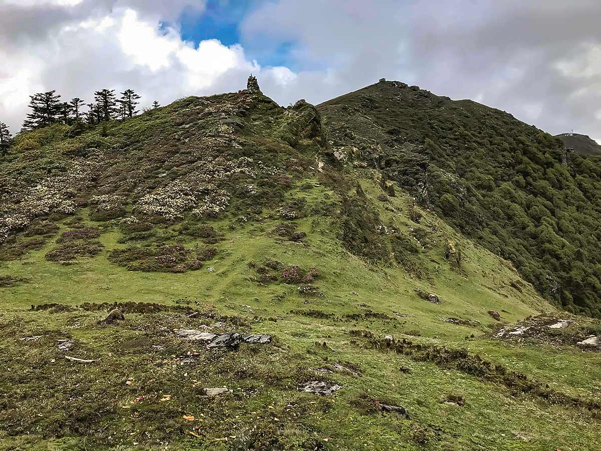
Start at the pass and with your back to where you just came from, head right up the ridge. Pass through the prayer flags. Try to go under them instead of over them. Keep in mind that it’s a nice show of respect to rehang flags that have fallen to the ground. Amid the breathtaking views, you’ll encounter a sprinkle of spirituality.
Eventually, you’ll come to a chorten, a religious monument, where there may be people making offerings or saying prayers for the dead. From here, you’ll have a couple of choices: head down to the right to go straight to the nunnery (around 2 hours), or head up further along the ridge to see an inactive sky burial site (hence the prayers). To get to the nunnery, simply head back to the chorten and turn left, or follow the path back to the road (around 1.5 hours).
There’s also the option of heading further along the ridge to a second sky burial, however this one is active. If you can see birds of prey circling the site, please don’t climb up to it, for obvious reasons.
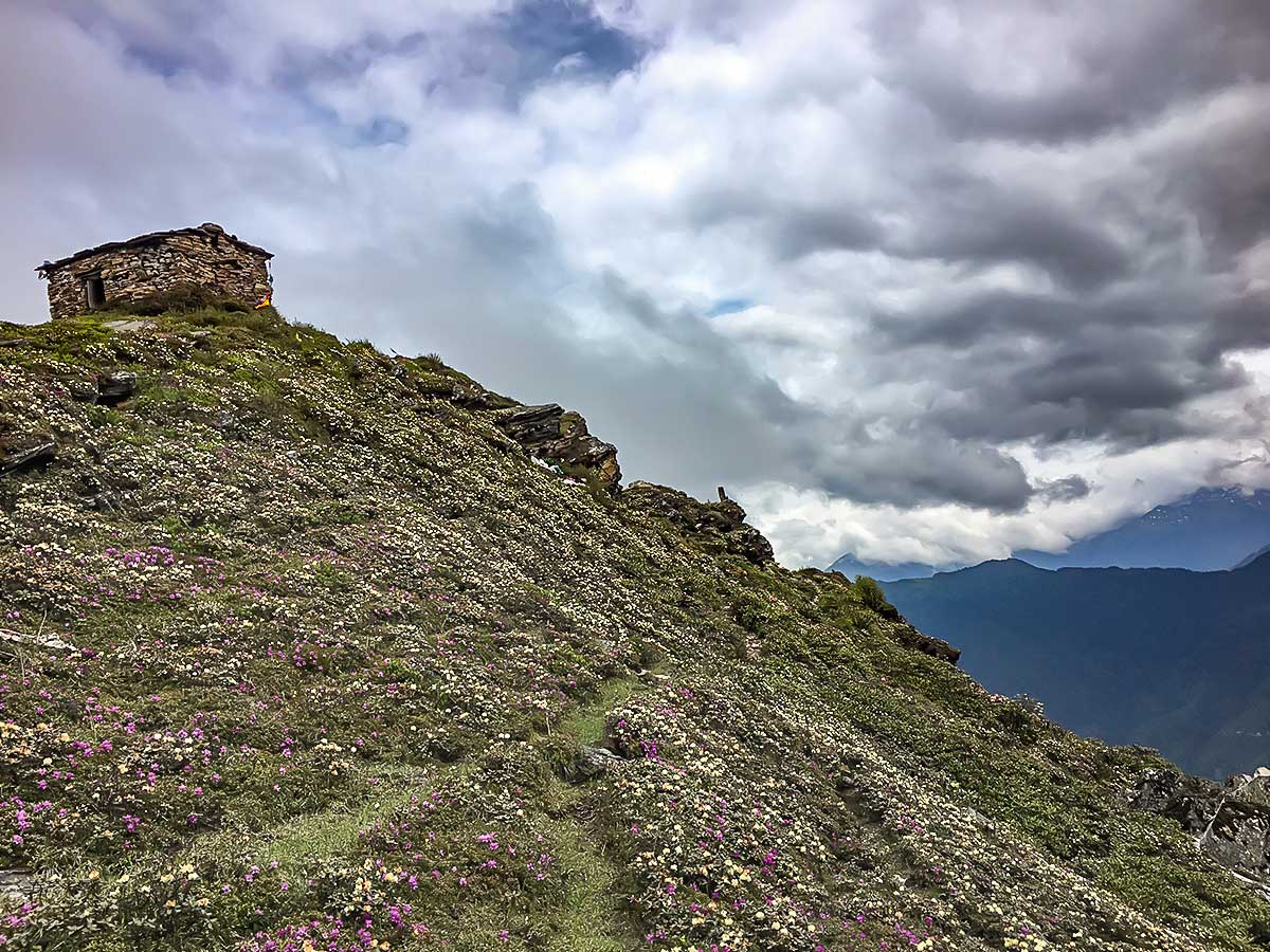
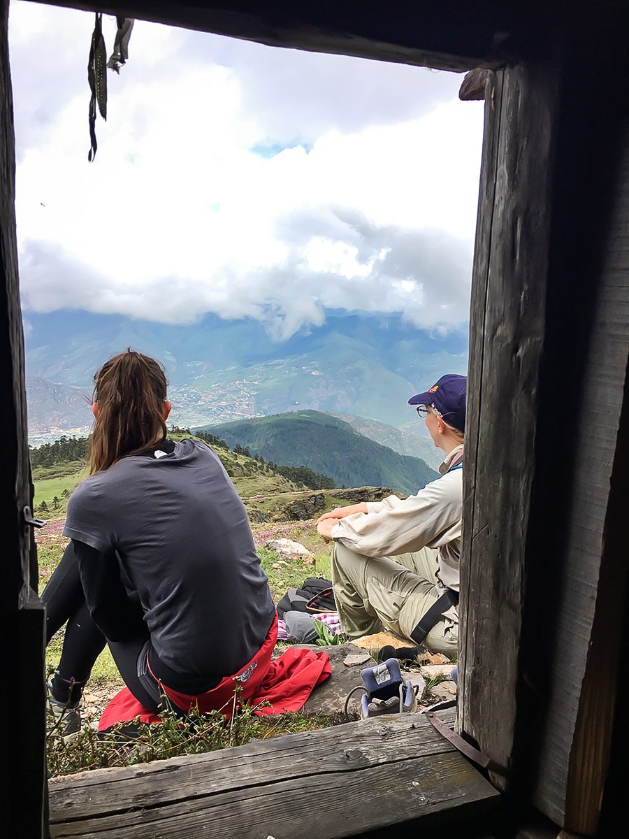
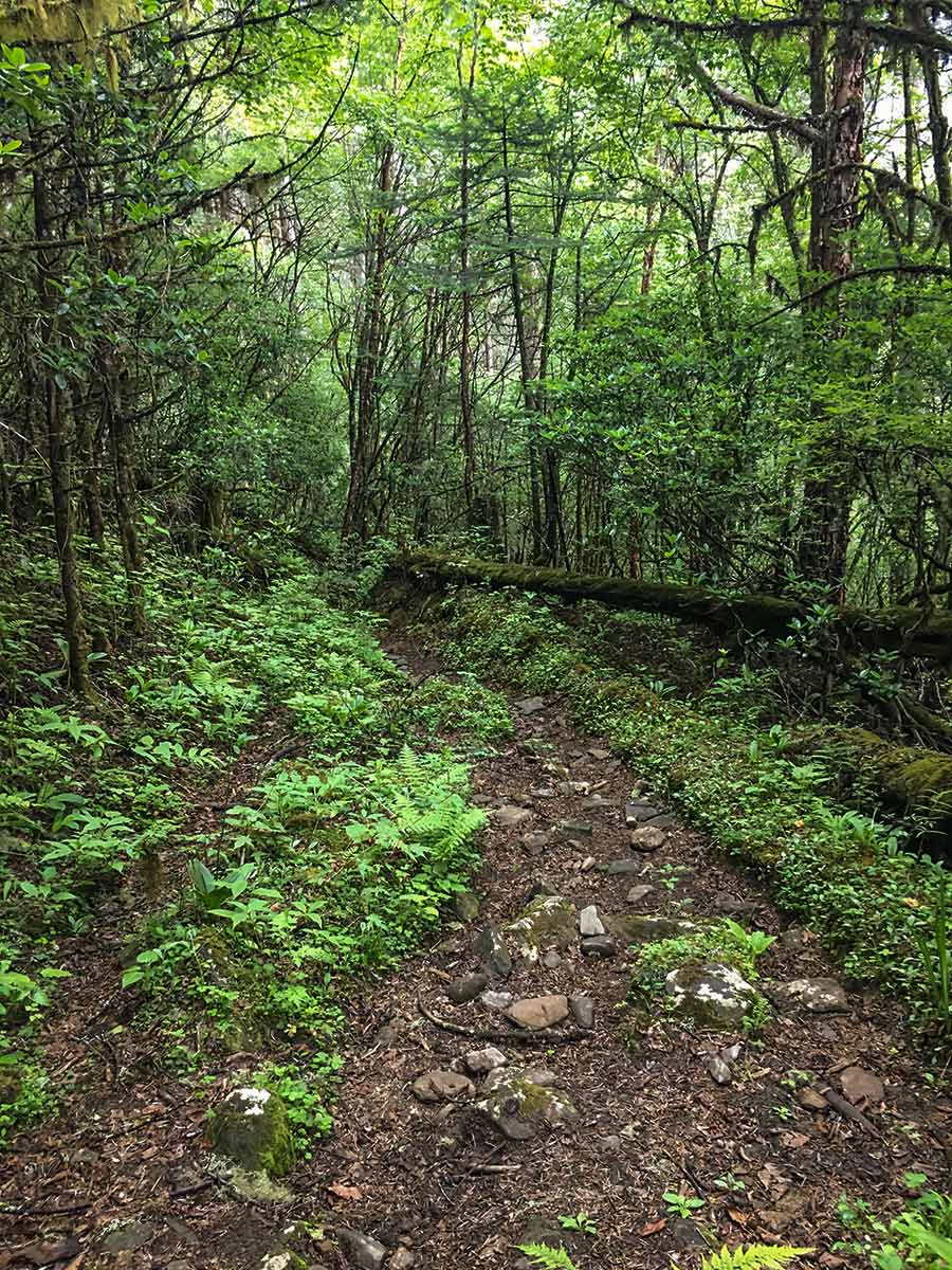
The path is obvious and follows the ridge. You will see a house on the second hill between you and the second burial site. Head down from the house. It makes the climb up to the burial site a little steeper than if you follow the ridge, but it’s worth it. From the burial site you can see a picnic area. Opt to go down here or hike along the path to the right, which will take you towards the nunnery.
Meander through rainforest until the scenery unfolds into a field that encompasses a ruin of a hut and an overgrown path. Head to the right to find the path again. Eventually, you’ll come across a powerline tower and some chortens, indicating that you have arrived at the nunnery.
From the nunnery return the way you came. Note that you should have asked your driver to meet you, as it can be tough to find transportation from here, so it’s best to ask your driver to meet you.
If you’re trekking in the right season, you may get the chance to see the ever-so enchanting blue poppy sweeping the region. Do note that poppies only grow between 12467ft and 13123ft.
Insider Hints
The earlier the start the better, especially if it's during monsoon.
From Chelela, it is possible to spend the night in either Haa or Paro, or head back to Thimphu.

Similar hikes to the Chele La Pass hike
Lungchutse
The Lungchutse day-hike will take you through woodland groves peppered with hemlock trees, junipers, and rhododendrons. Once you reach the…
Buddha Point
The hike to Buddha points traverses the lush mountainside blanketing the landscape, allowing you to admire the sprawling Thimphu valley…
Pomola
Embroidered with quintessential Bhutan vistas, a blue pine forest, and animals and plants dotting the land, the Pomola Hike doesn’t…
Joshua L. 4 years ago
Great view at the Valley especially this season. I Would definitely go back some other time.
Arthur K. 4 years ago
The scenery was phenomenal! This unspoiled beauty must be preserved at all costs!
Alon GR. 4 years ago
Steep hike. Had some trouble while ascending but it's worth it.
Randy K. 5 years ago
It's a bit creepy since there is sky burial in there. But overall I think it's nice because there is also a nice view of the wildflowers.
Richard Conrad 5 years ago
Great destination for any hikers who wants to see and explore the hidden beauty of the Himalayas.
Aleksandra P. 5 years ago
There's a pass that offers views of the Paro valley to the right and Haa valley to the left. You'll also come to a Chorten, a religious monument, where there may be people making offerings or saying prayers for the dead. Great hike.
Aric O. 5 years ago
Very challenging hike with exquisite nature views. Stunning from the beginning until the end.
Logan W. 5 years ago
This hike is quite challenging. The trail has some steep slopes, so be careful. Definitely worth your visit.
Darcy Beni 5 years ago
Stunning hike! I really admire the views, particularly the blue poppies dotting the valley. They were in full bloom, and it's not very common for me to see such a type of flower.
Carl I. 5 years ago
Remarkable place! It's a great place to expose your children to another culture.