Lungchutse hike
View Photos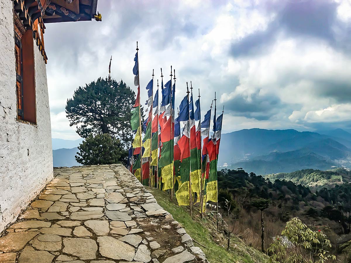
Lungchutse hike
Difficulty Rating:
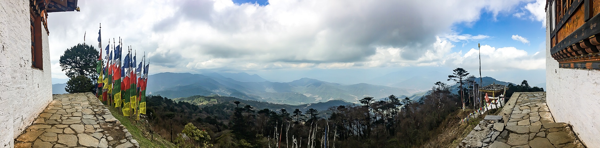
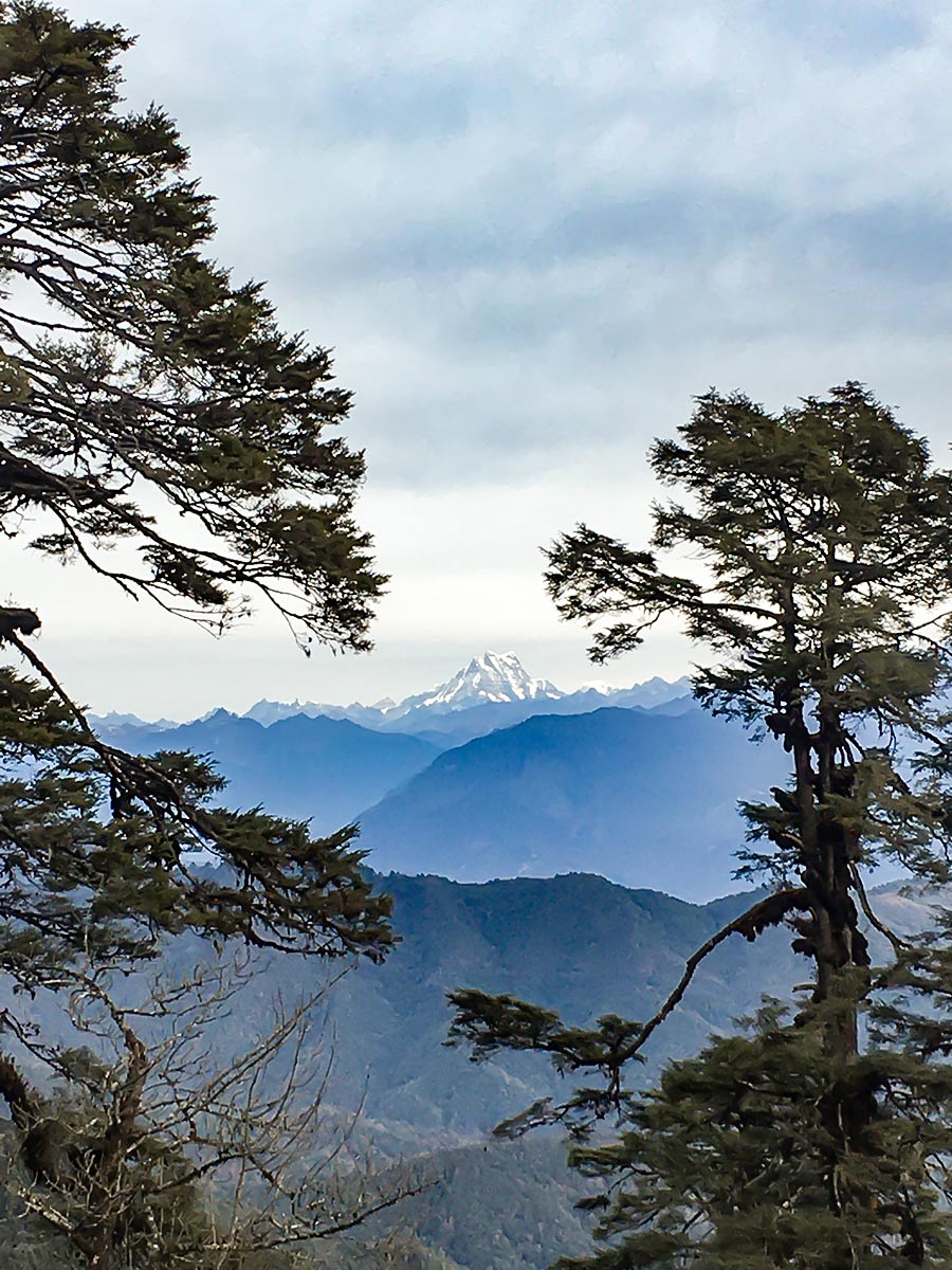
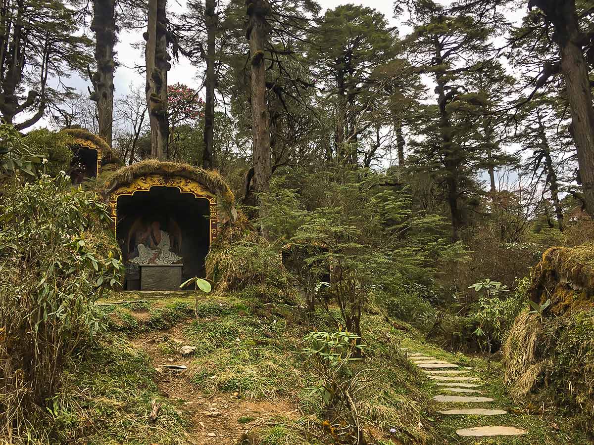
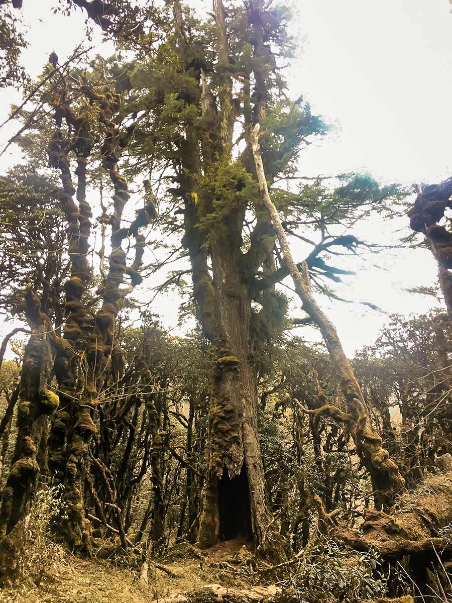
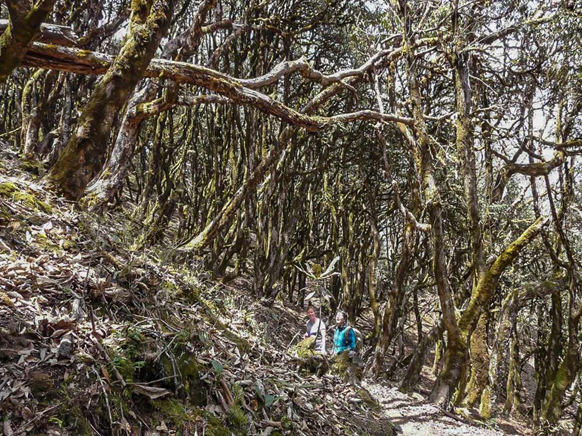
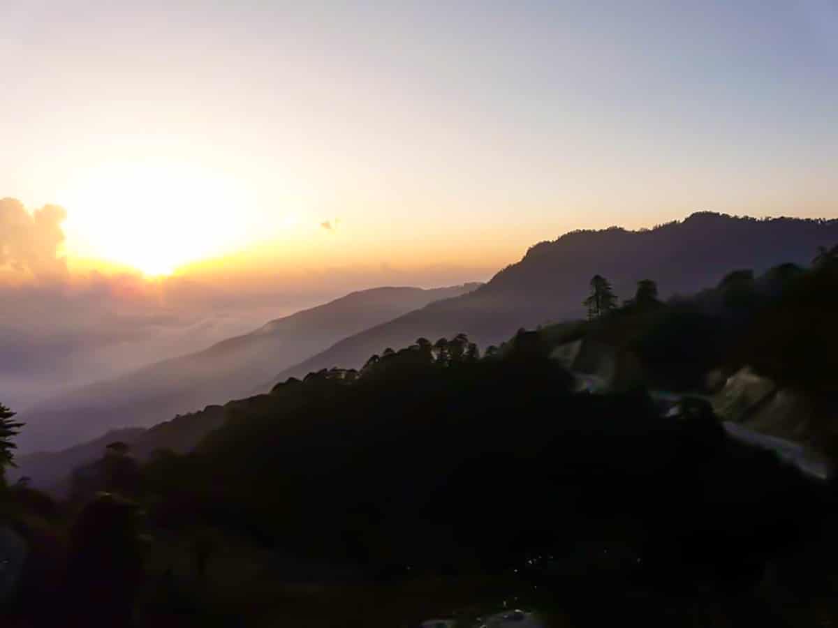
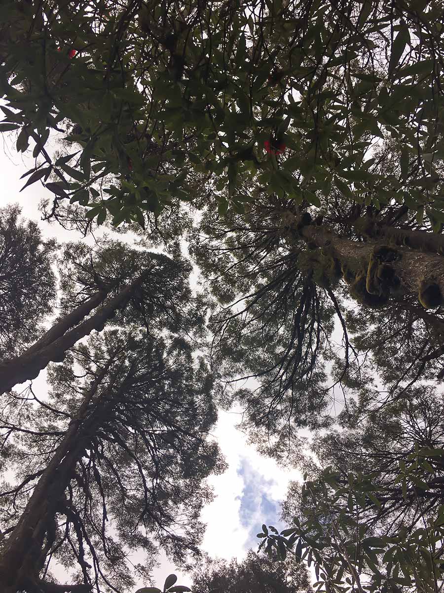
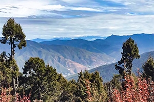
The Lungchutse day-hike will take you through woodland groves peppered with hemlock trees, junipers, and rhododendrons. Once you reach the ridge, the lush forest scenery will dissolve into a ridge, which, on a sunny day, unveils a panoramic view of the Himalayas. The picturesque scenery blanketing this track tends to attract more hikers than other spots, but compared to other tourist destinations, this trail is pretty remote.
Getting there
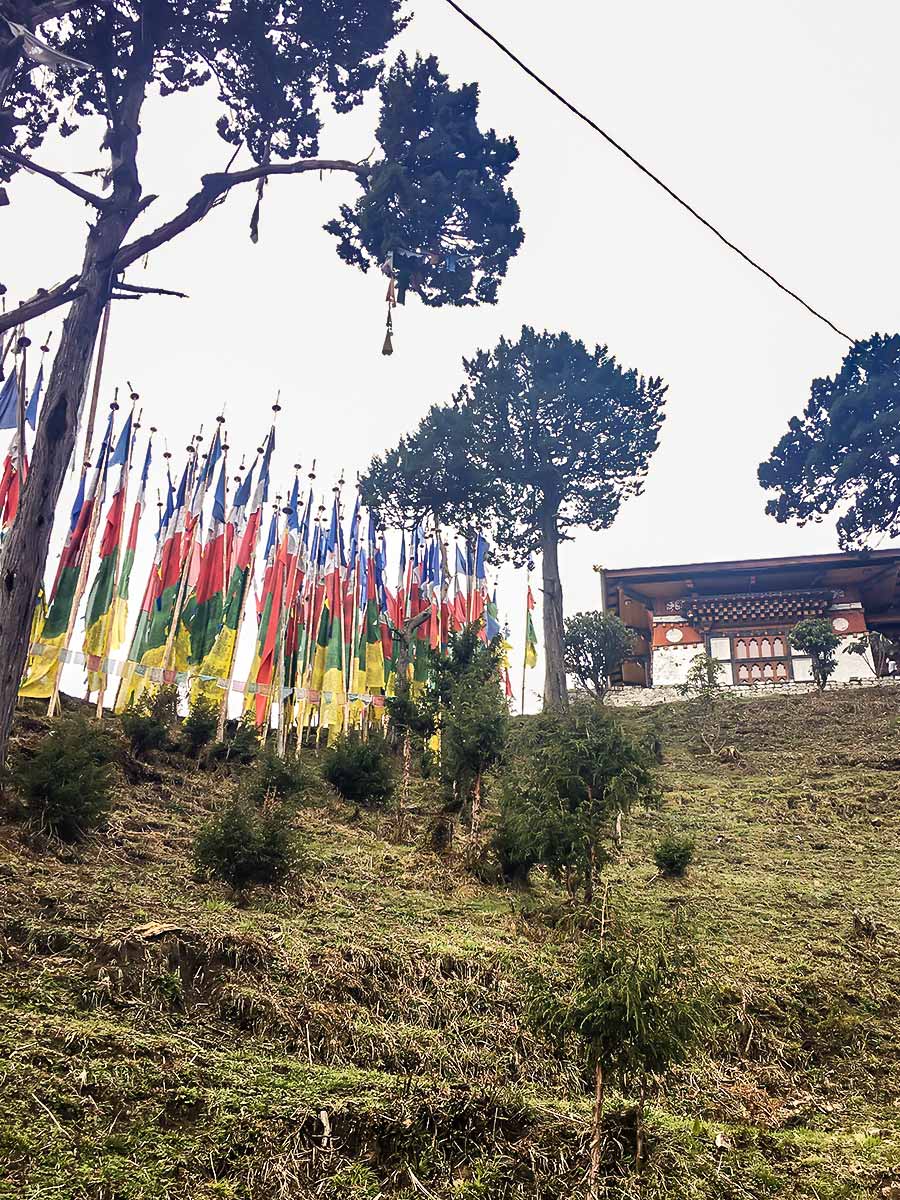
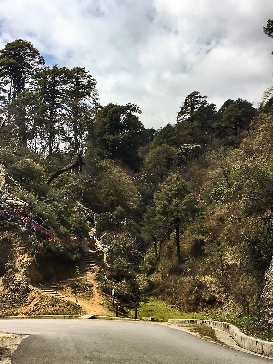
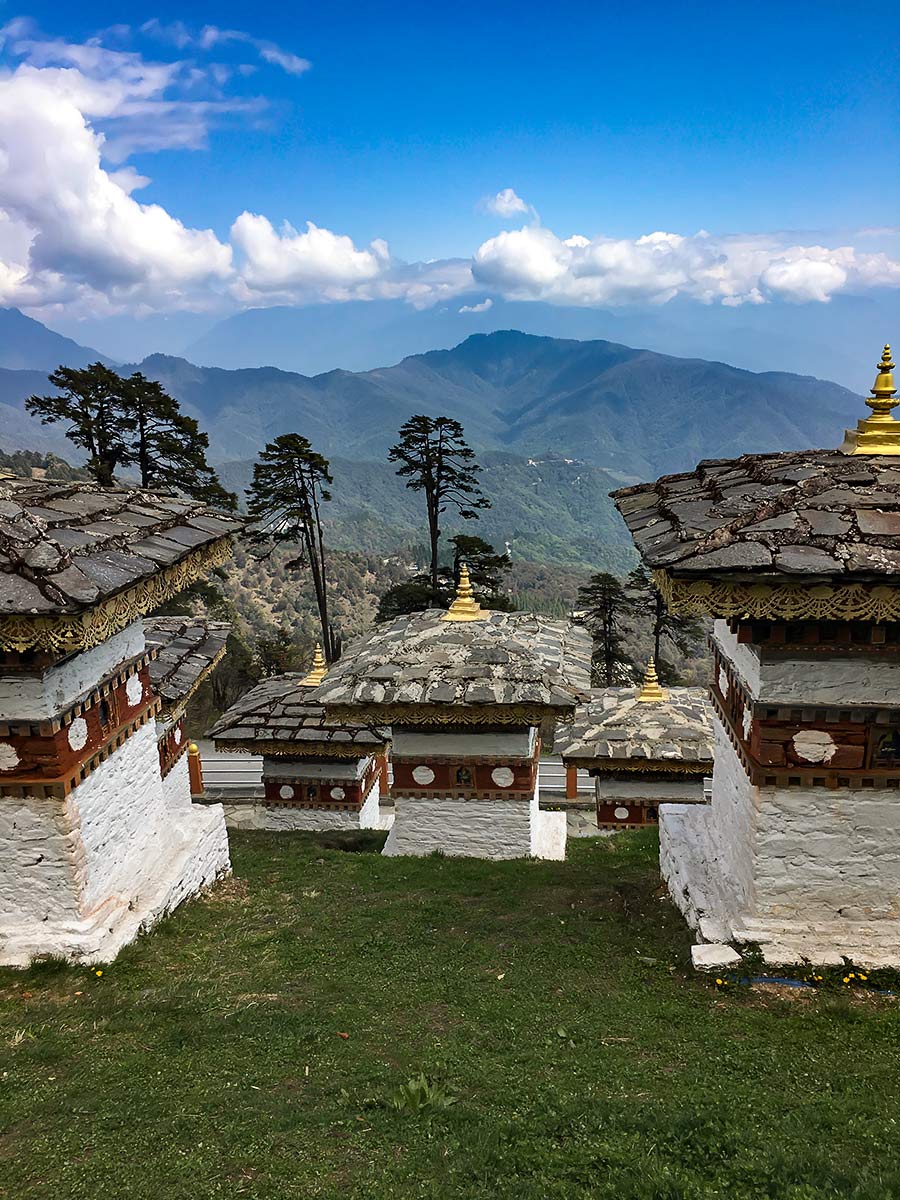
The start point is just past the 108 chortens on the pass, about a 45-minute drive from Thimphu.

About
| When to do | All year long |
| Backcountry Campsites | No |
| Family friendly | Yes |
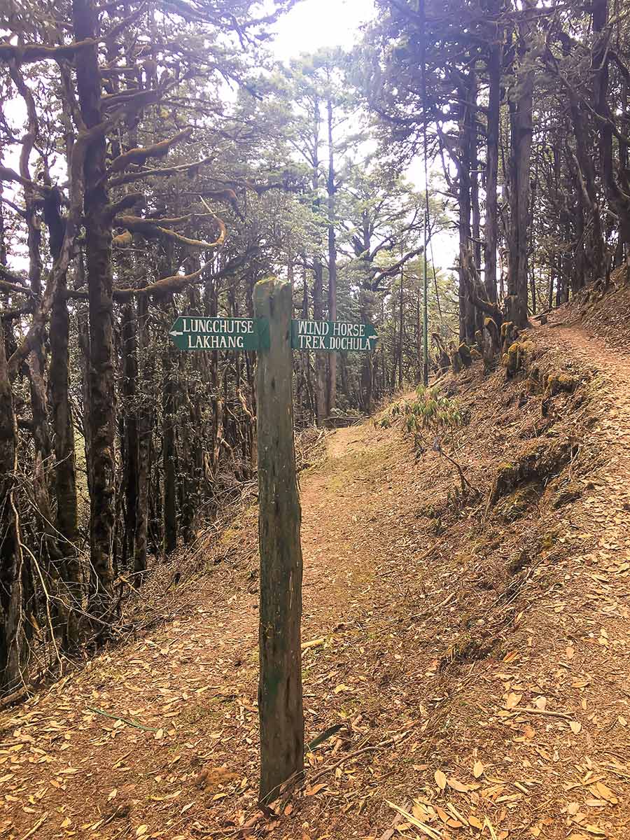
| Route Signage | Good |
| Crowd Levels | Moderate |
| Route Type | Out and back |
Lungchutse
Elevation Graph
Weather
Route Description for Lungchutse
This is one of the most popular hikes near Thimphu. It’s on the tourist route, so you’ll see more people compared to other walks in the area. You may need to enlist the help of a travel agent to get a route permit, but you won’t need a guide as this track has plenty of signs.
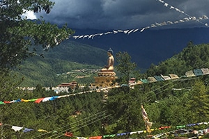
The start point is just past the 108 chortens on the pass, about a 45-minute drive from Thimphu. These chortens were built by the Queen as an offering for her husband’s safe return from war.
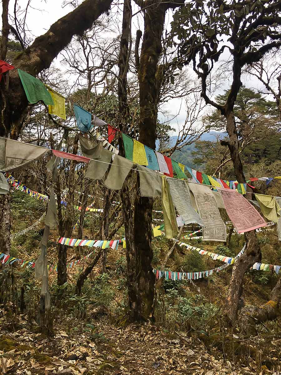
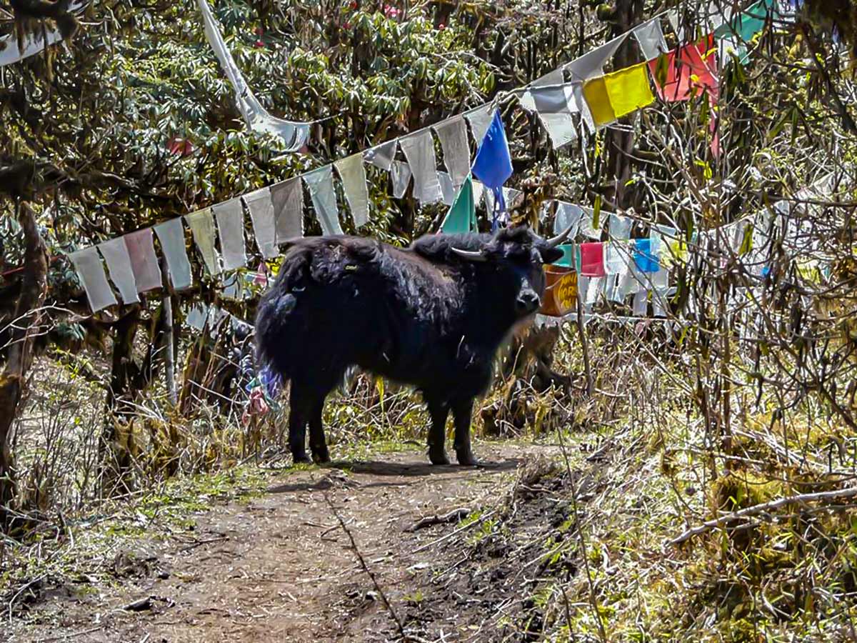
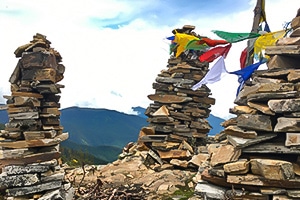
The walk will take you through the old-growth rhododendron forest. If you do this trek during the spring, bright flowers will elevate the magical ambience spattering this journey. As you hike, notice how the flora changes several times, from old-growth to fir trees and birch, to fields of flowers. Do note that the yak herders use part of the track as a grazing field, and if you’re lucky, you’ll get a quintessential Bhutan view of a yak under some prayer flags. These yaks are pretty used to humans and are unlikely to charge you.
You’ll encounter several rest stops as you walk, including a small bench about ¾ of the way up, where a gap in the trees unveils a view of the goempa. The last push is probably the steepest, but the 180-degree view at the top is worth it. If it’s just after or during monsoon season, the vista may be obscured by clouds. Try to do this hike during the spring or winter. Opt to stop at the picnic spot next to the goempa.
On the way down the path splits: the lower path takes you to a different Lhakhang near the immigration checkpoint, and is only 1-2 hours away. Again, this path is pretty well tendered, so it’s your choice which path you take back.
Insider Hints
You will need a route permit, which you can get from Immigration in Thimphu.
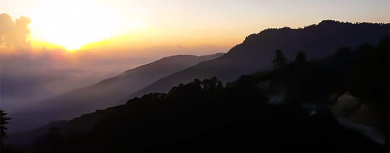
You can stay overnight at Dochula Eco Resort and walk to the start point very easily. There is also a path from the resort up to Lungchutse – ask the staff on the way up, take the ‘café’ track on the way down. The staff will also pack your lunch. The resort has a glassed-in viewing platform, which is perfect for mountain watching at sunrise, but bring a book or movie as there isn’t much to do.

Similar hikes to the Lungchutse hike
Chele La Pass
Exploding with an unspoiled, hushed ambience, the scenery blanketing Chele La Pass envelops any trekker. Depending on what time of…
Buddha Point
The hike to Buddha points traverses the lush mountainside blanketing the landscape, allowing you to admire the sprawling Thimphu valley…
Pomola
Embroidered with quintessential Bhutan vistas, a blue pine forest, and animals and plants dotting the land, the Pomola Hike doesn’t…
Amir Gutierres 4 years ago
The scenery was nice! It was a remote area, so expect not to see much people around. It's best to hike in groups!
Randy K. 4 years ago
Spectacular view at the top, is just breathtaking. There are lots of enchanting blue poppy everywhere. This place is good for photoshoots.
Brian Mchauny 4 years ago
The trail was stunning with all the pink wildflowers. The temperature was very nice and the weather was awesome.
Juan L. 4 years ago
Love the greeneries and the panoramic views! It was a bit humid when we visited but we enjoyed a lot. It feels very secluded, so expect this place to be quiet.
Ewenn 5 years ago
Wow amazing! Once at the top of this mountain, you will be blown away... literallly! It was damn windy!
Josh Pauper 5 years ago
So lovely. We did this in the late afternoon and we enjoyed the whole trail. The panoramic view was remarkable!
Aleksandra P. 5 years ago
I really love the surroundings and the nice view of the mountains. I will rate it as a moderate hike. We really enjoyed our hike.
Dennis Pein 5 years ago
started at 10am and finished before 2pm. views are great and the trail is secluded.
Nicholas P. 5 years ago
It is mildly challenging, but It was actually easier than the way it looks. My children enjoyed exploring the area, which mainly consists of stunning woodland and blooming flowers and shrubs.
Logan W. 5 years ago
Surprisingly beautiful! Enjoyed the beautiful view of the Himalayas. It's good because it's a remote area so it's less crowded.