Quiraing Circuit Walk
View Photos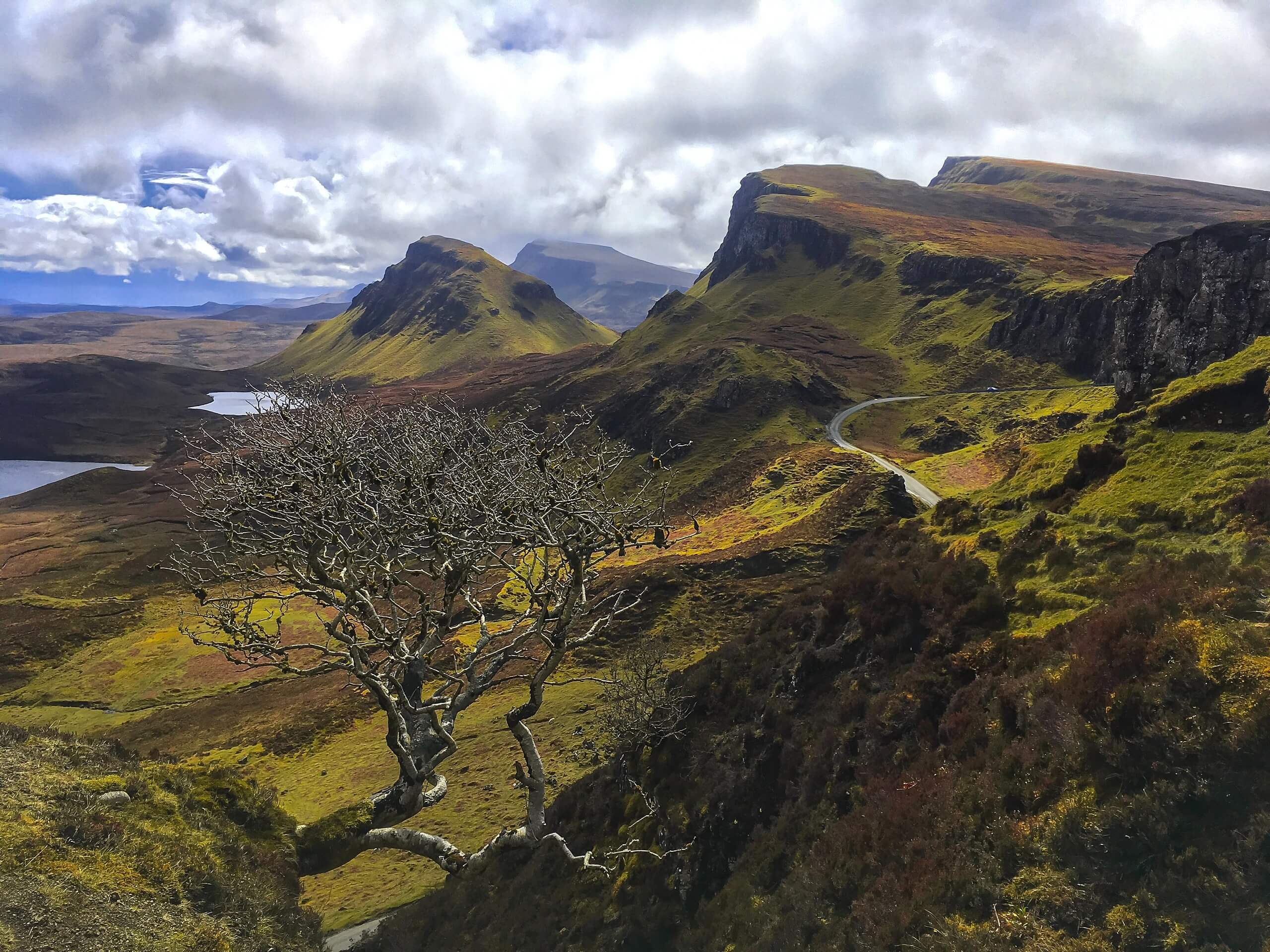
Quiraing Circuit Walk
Difficulty Rating:
The Quiraing Circuit Walk may seem easy, but this hill loop will have you huffing and puffing, guaranteed! Most opt to stop after the first section; however, this route gives you a chance to revel in the ever-so-mystical scenery just a little bit longer. Go past the Needle, Prison, and other epic Highland wonders on this short but rewarding adventure. Be sure to charge your camera and get ready to capture image after image of the landscape unravelling in front of you!
Getting there
To get to the start of the Quiraing Circuit Walk, head to the top of the road between Staffin and Uig (57°37'41.5"N 6°17'25.4"W).

About
| Backcountry Campground | No |
| When to do | May-October |
| Pets allowed | Yes - On Leash |
| Family friendly | Older Children only |
| Route Signage | Average |
| Crowd Levels | High |
| Route Type | Lollipop |
Quiraing Circuit Walk
Elevation Graph
Weather
Quiraing Circuit Walk Description
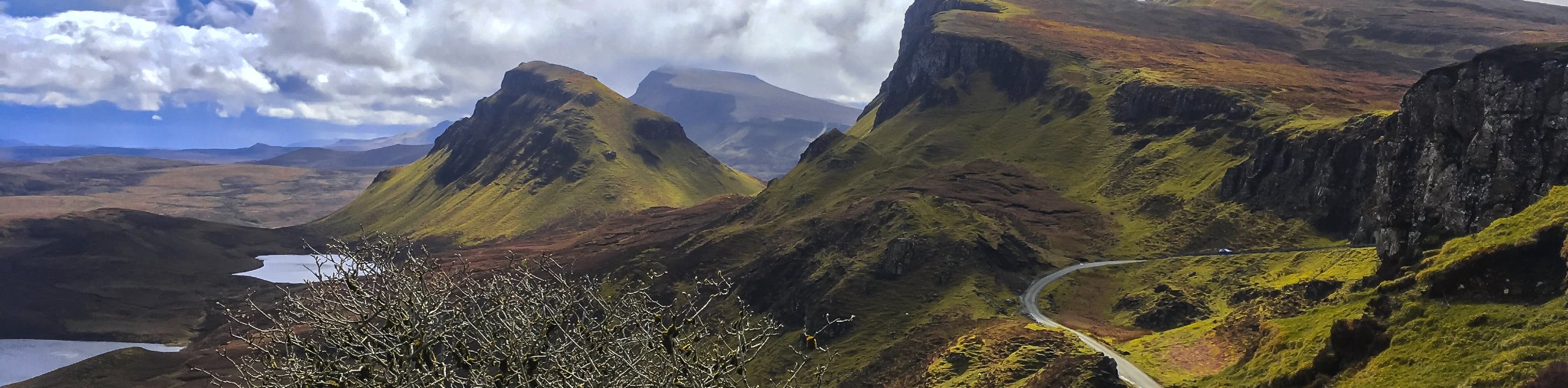
The Quiraing Circuit Walk makes for a fun outing in the Scottish Highlands’ Isle of Skye! However, don’t let the short distance deceive you into thinking this will be an easy one—as it packs in a moderate elevation gain that will boost your heart rate. The parking area along the minor road between Staffin and Uig may accommodate a lot of cars, but it can get busy, making it essential to arrive early to secure a spot. This walk starts busy, but the crowds dissolve the further you travel into the wild! The path does get a bit rough later on, so while there may be fewer people, the track only increases in technicalities.
With that being said, the Quiraing Circuit Walk is a fantastic adventure that unveils a mosaic of folklore-like views within a short 4.0mi span. Teeming with peaks bleeding onto the banks of the sea, the images along this hike are just phenomenal!
From the minor road between Staffin and Uig, head to the north side of the road. This is where your journey into what feels like another world begins! Follow the footpath marked with a sign to Flodigarry. This section is busy, but don’t worry. The crowds will dissipate as the intensity and technicalities increase. Right away, you’ll get the chance to admire the views ahead and behind you! Look for a gully with a tree whirled by the wind—people love to take pictures of this.
Continue following the clear path as it travels up slopes and through rocky sections. Then, get ready for a minor scramble across a gully! Notice the elevation slowly gaining before heading up the gap between two cliffs and a rock feature dubbed the Prison. Avoid climbing the Prison (unless you’re an experienced scrambler). Above you, you’ll be able to see ‘Needle Rock.’
Take on a steep ascent towards the Needle. Some people opt to go left of the Needle, but this isn’t recommended! Instead, our route takes you along the main path, over a stile, while unveiling an array of peaks. But the best view is yet to come!
Keep following the path until you reach a fork. Go left to ascend a saddle and travel through the drystane wall. Check out the glen lined with small peaks before climbing to reach the ridge. This is a steep ascent! You’ll know you’re at the ridge when you cross a stile.
Continuing along, pause to admire the view of the grassy top of the Table, hugged by unique pinnacles. After, keep moving onward and upward! Eventually, you’ll arrive at the highest section of the cliff, where a sprawling image of the brown and green-hued landslips and the bright blue sea collide to create an inspiring spectacle!
From here, you’ll continue forward to start your descent, following a grassy slope toward a gate. Go through this to keep on the same path, which later becomes boggy and steep, making it essential to go slow. Soon, you’ll meet up with the same path that led you to the start of this lollipop route. Go right here to go back to your car.
Frequently Asked Questions
How hard is the Quiraing Circuit Walk?
If you decide to turn around before the route gets technical and steep, the Quiraing Circuit Walk ranks as fairly easy. However, those who continue on will traverse more rough terrain with increased elevation. The views are phenomenal, though!
Can children go on the Quiraing Circuit Walk?
Yes! We suggest taking older children on this walk as there is some minor scrambling required and the more rough section may be difficult for younger children to tackle. Some families take younger children on the first section of this hike! However, it’s up to you to determine what you and your family can handle.
Insider Hints
Avoid parking on any bend in the road or passing spaces when you’re searching for a parking spot.
Similar hikes to the Quiraing Circuit Walk hike
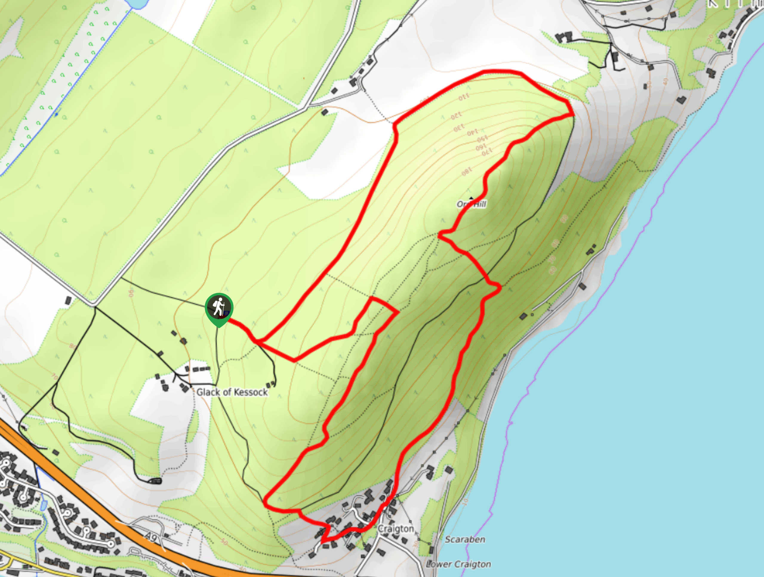
Ord Hill Walk
If you still have some gas left in the tank or have a day between activities in the Highlands and…
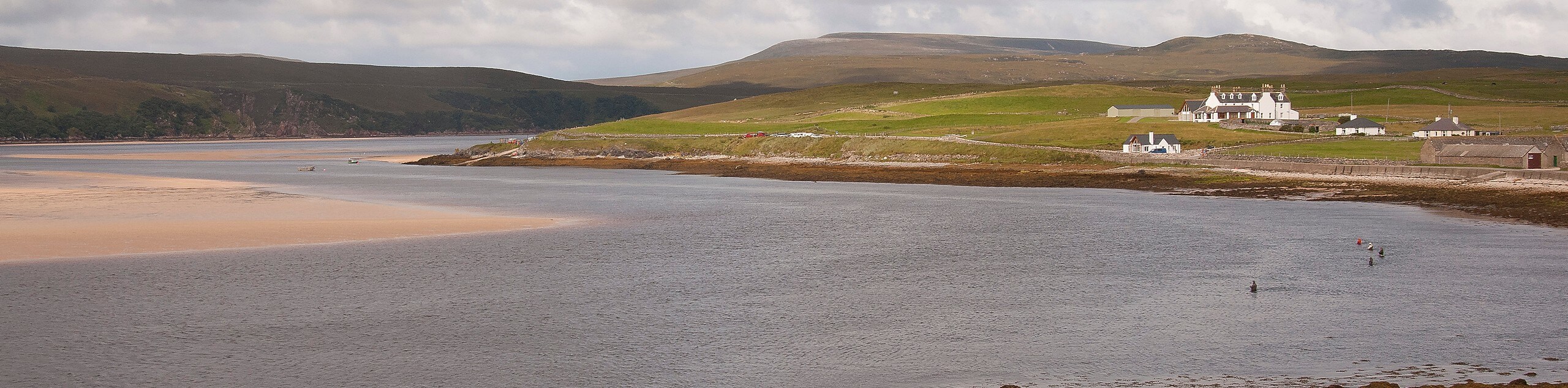
Kyle of Durness Circular Walk
The Kyle of Durness Circular Walk packs a punch when it comes to the scenery! Gaze out into the coastline,…
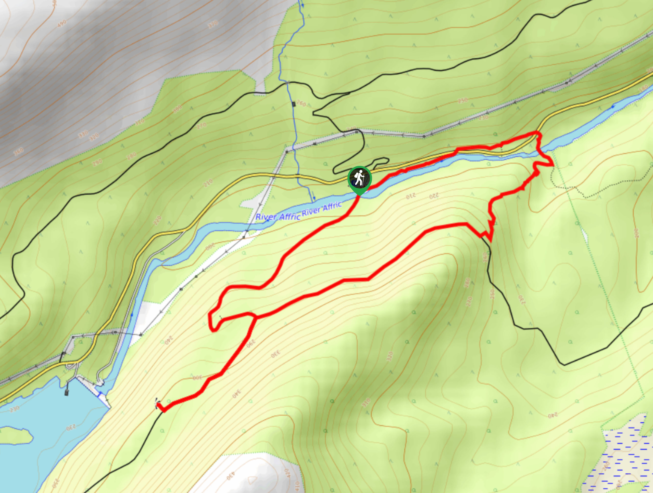
Dog Falls Walk
The Dog Falls Walk boasts a lovely, serene setting, punctuated by a waterfall, River Affric, and a stunning view of…
Comments