Kyle of Durness Circular Walk
View Photos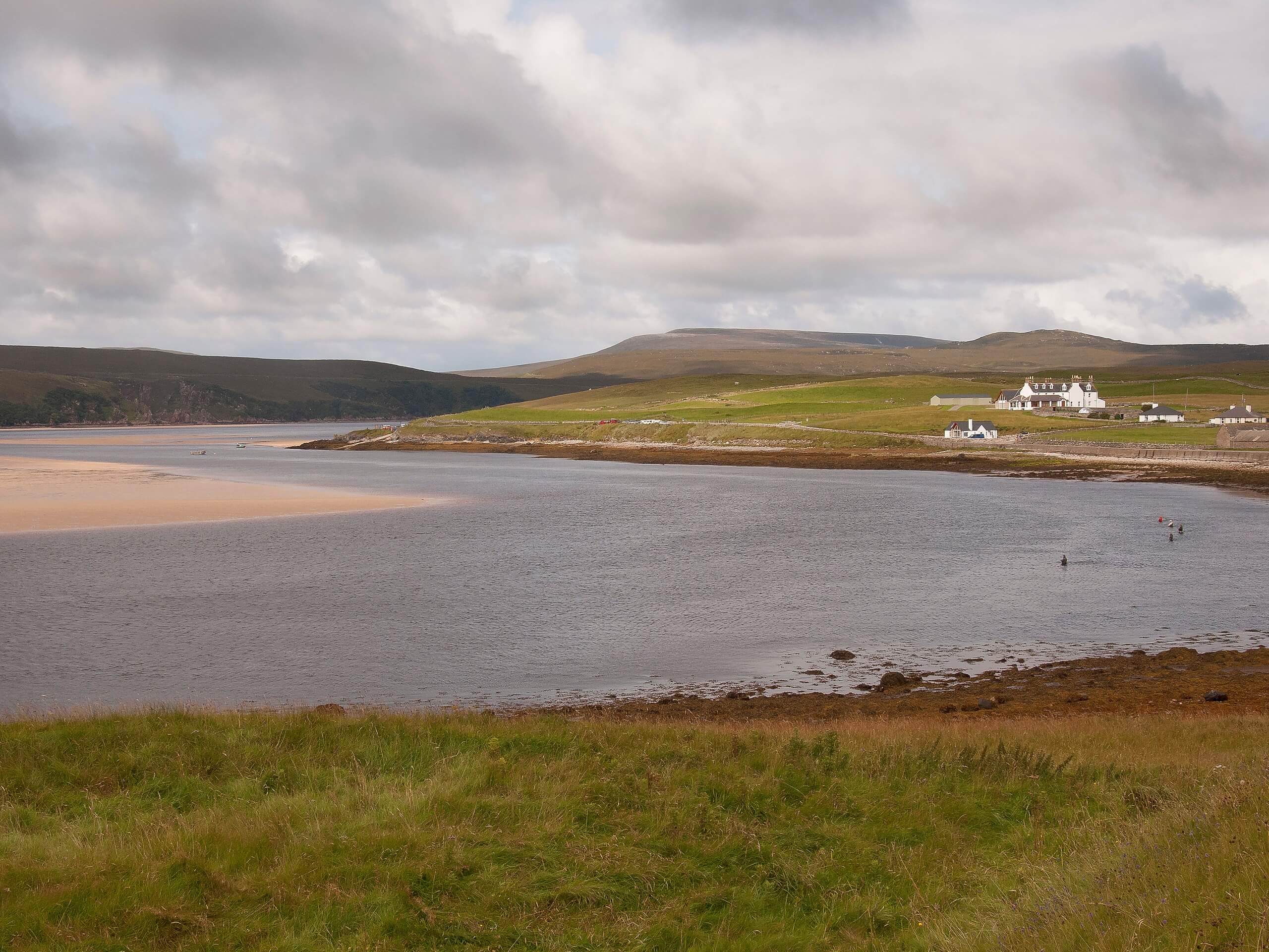
Kyle of Durness Circular Walk
Difficulty Rating:
The Kyle of Durness Circular Walk packs a punch when it comes to the scenery! Gaze out into the coastline, pass a crumbling old school, and check out views of a quaint loch. At times, the path hugs close to the edges of cliffs, so take care along these sections.
Getting there
The Kyle of Durness Circular Walk starts from Balnakeil Car Park.

About
| Backcountry Campground | No |
| When to do | May-October |
| Pets allowed | On-Leash-not recommended |
| Family friendly | No |
| Route Signage | Average |
| Crowd Levels | Moderate |
| Route Type | Circuit |
Kyle of Durness Circular Walk
Elevation Graph
Weather
Kyle of Durness Circular Walk Description
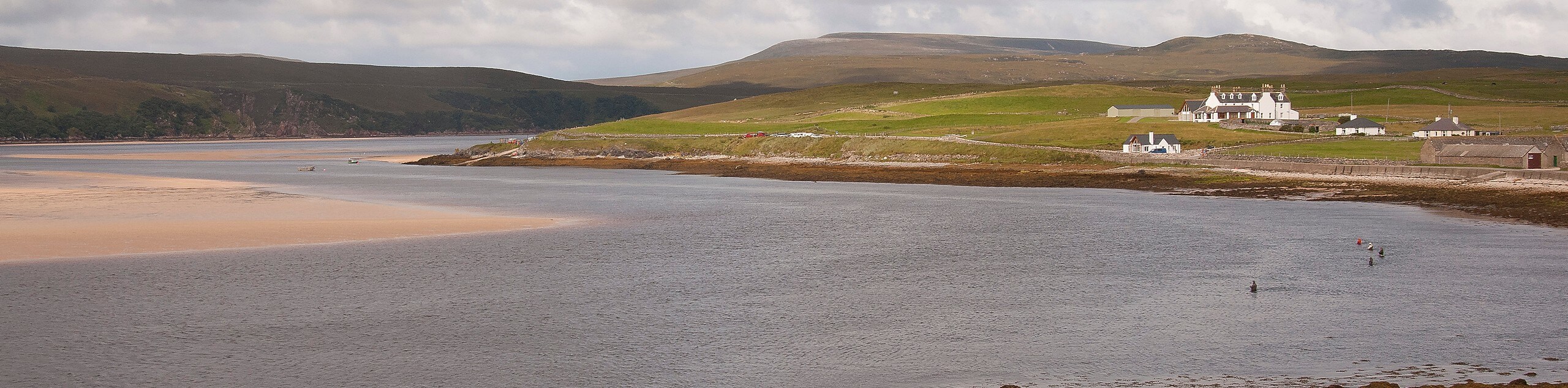
The Kyle of Durness Circular Walk traverses by a highlight reel of views! The varied scenery will keep you well entertained. Setting out from the car park, you’ll pass by Durness golf club, which follows a path hugging the coastline. This section may take you close to the edges of cliffs, which is why dogs should either stay at home or keep them close on a leash. Bring layers for this section as well—it can be exposed to high winds.
Enjoy travelling along a set of stunning beaches before reaching a ferry terminal, where you can wait under a shelter if it’s super rainy out. Following this, you’ll traverse some roads before going left on a path that takes you back to the starting point. However, on your way back, you’ll pass the crumbling ruins of an old school and a small loch!
After, continue heading back to your car to complete the circuit.
Similar hikes to the Kyle of Durness Circular Walk hike
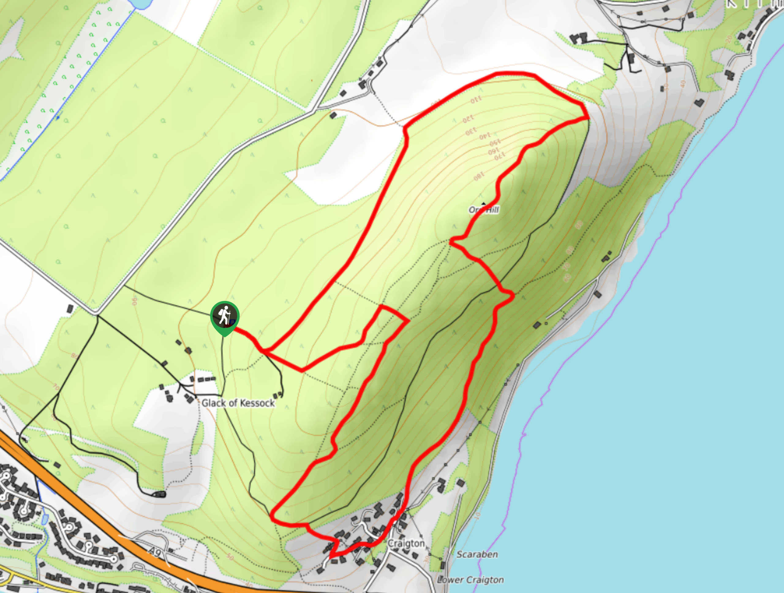
Ord Hill Walk
If you still have some gas left in the tank or have a day between activities in the Highlands and…
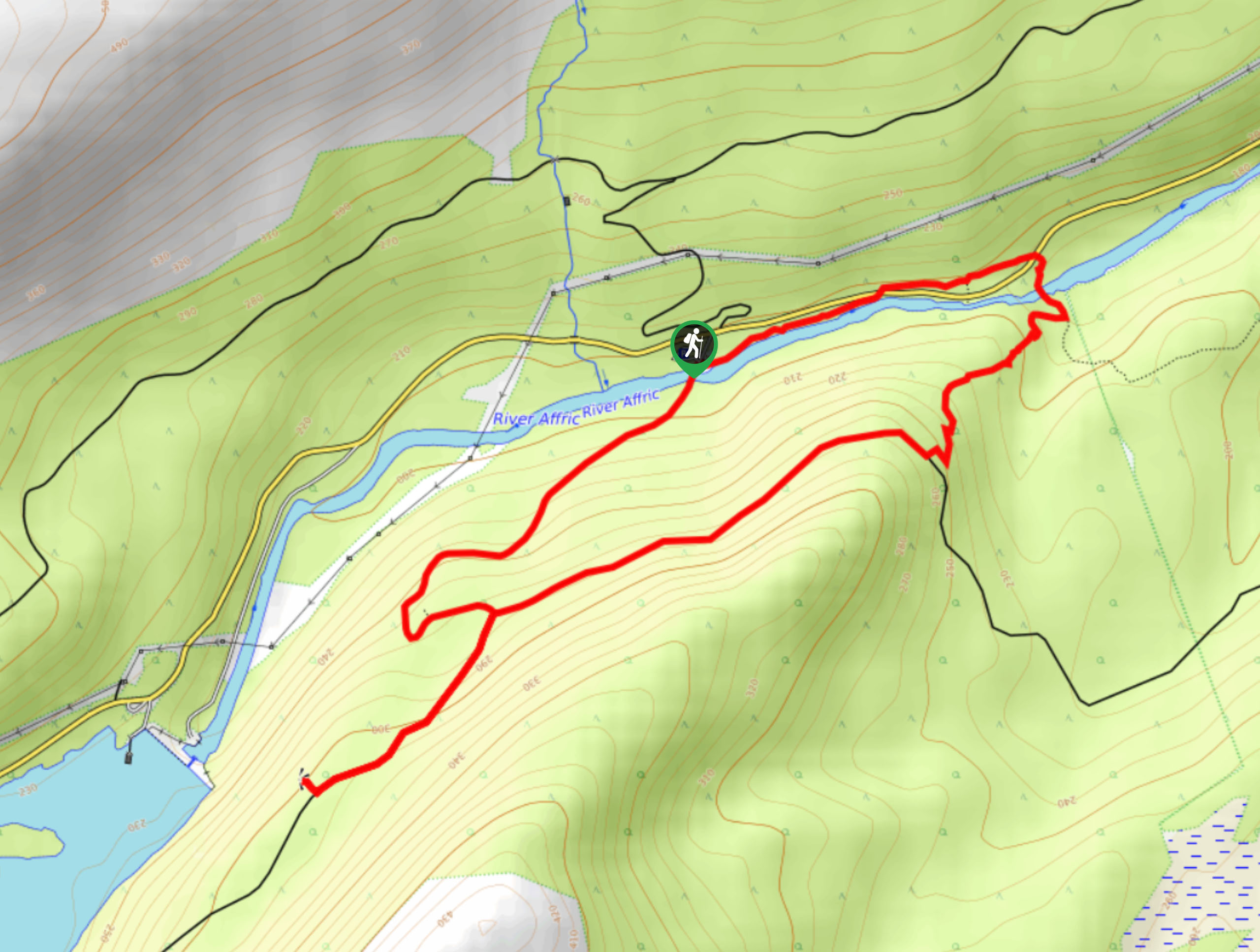
Dog Falls Walk
The Dog Falls Walk boasts a lovely, serene setting, punctuated by a waterfall, River Affric, and a stunning view of…
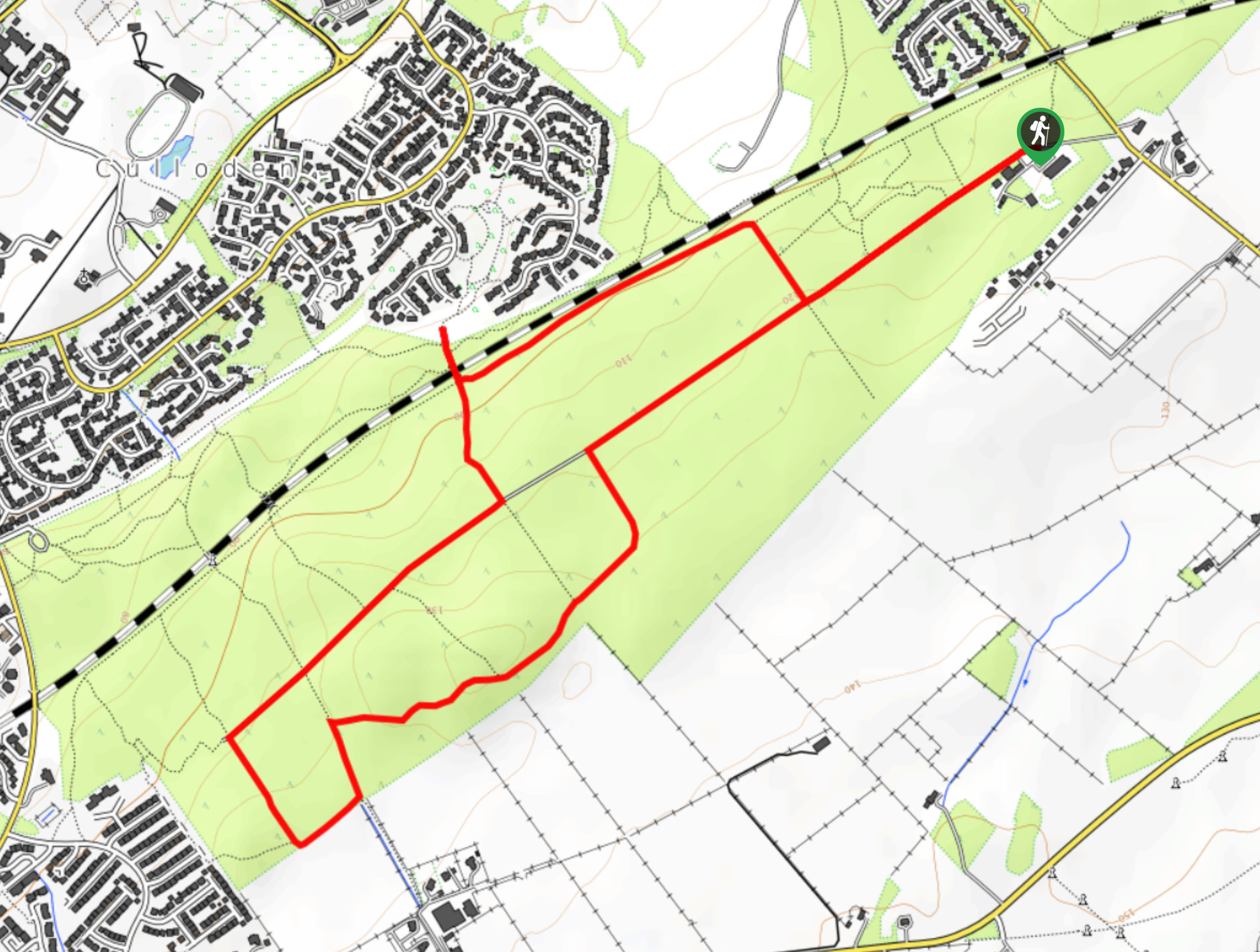
Culloden Woods Walk
The Culloden Woods Walk circumnavigates the battlefield where the Battle of Culloden occurred. Discover remnants of the battle as you…
Comments