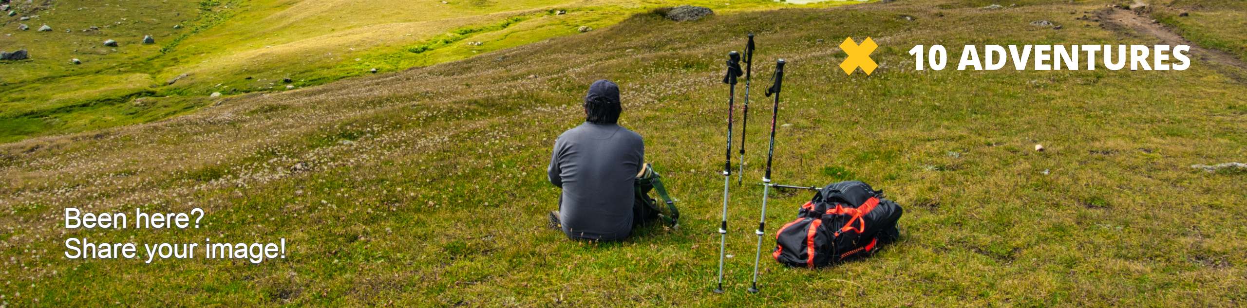
Craig Dunain Walk
View Photos
Craig Dunain Walk
Difficulty Rating:
The Craig Dunain Walk winds along a secluded path below a canopy of trees! The serene setting makes for an ideal getaway from the hustle and bustle of daily life. However, be prepared to navigate some steep sections, despite the short length.
Getting there
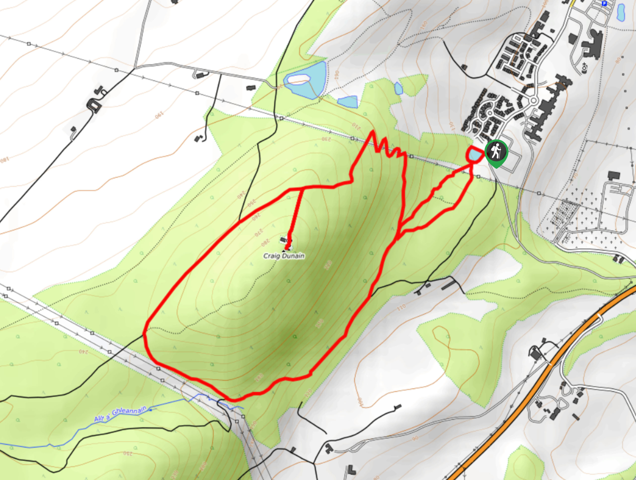
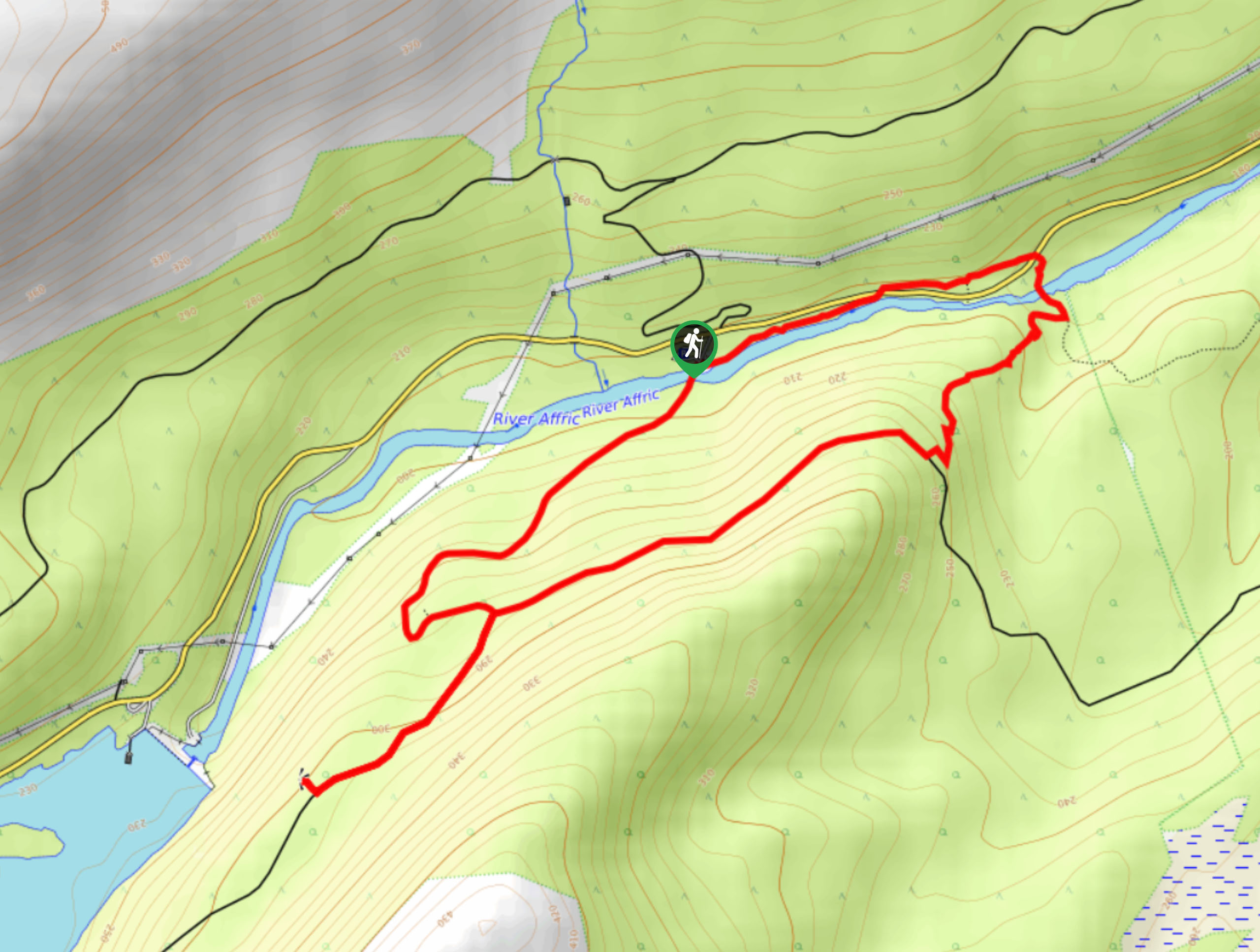
The Craig Dunain Walk starts from the Highland Council, right beside the Craig Dunan Duck Pond.

About
| Backcountry Campground | No |
| When to do | May-October |
| Pets allowed | Yes - On Leash |
| Family friendly | Older Children only |
| Route Signage | Average |
| Crowd Levels | Moderate |
| Route Type | Lollipop |
Craig Dunain Walk
Elevation Graph
Weather
Craig Dunain Walk Description
If you’re staying in Inverness, the Craig Dunain Walk makes for a great in-between adventure—sandwich it between two intense walking days! However, despite its short length, the scenery won’t disappoint. You’ll likely spend most of the walk secluded in the woods among sweeping woodland views. And, you can expect to get your heart rate up as you’ll climb a moderate amount of elevation in just a few kilometres.
Setting out from your car, you’ll follow the pond towards the path heading outward. From here, keep straight until you reach a junction, where the trail goes both left and right. You can choose to go either way, but our route takes you right. Shortly after, you’ll reach some switchbacks. Then, you’ll continue circling through the woodland scenery.
Eventually, you’ll get to the same path you came in on, but walk by this path and take the next trail going right to take a different route back to the pond, where your car awaits.
Similar hikes to the Craig Dunain Walk hike
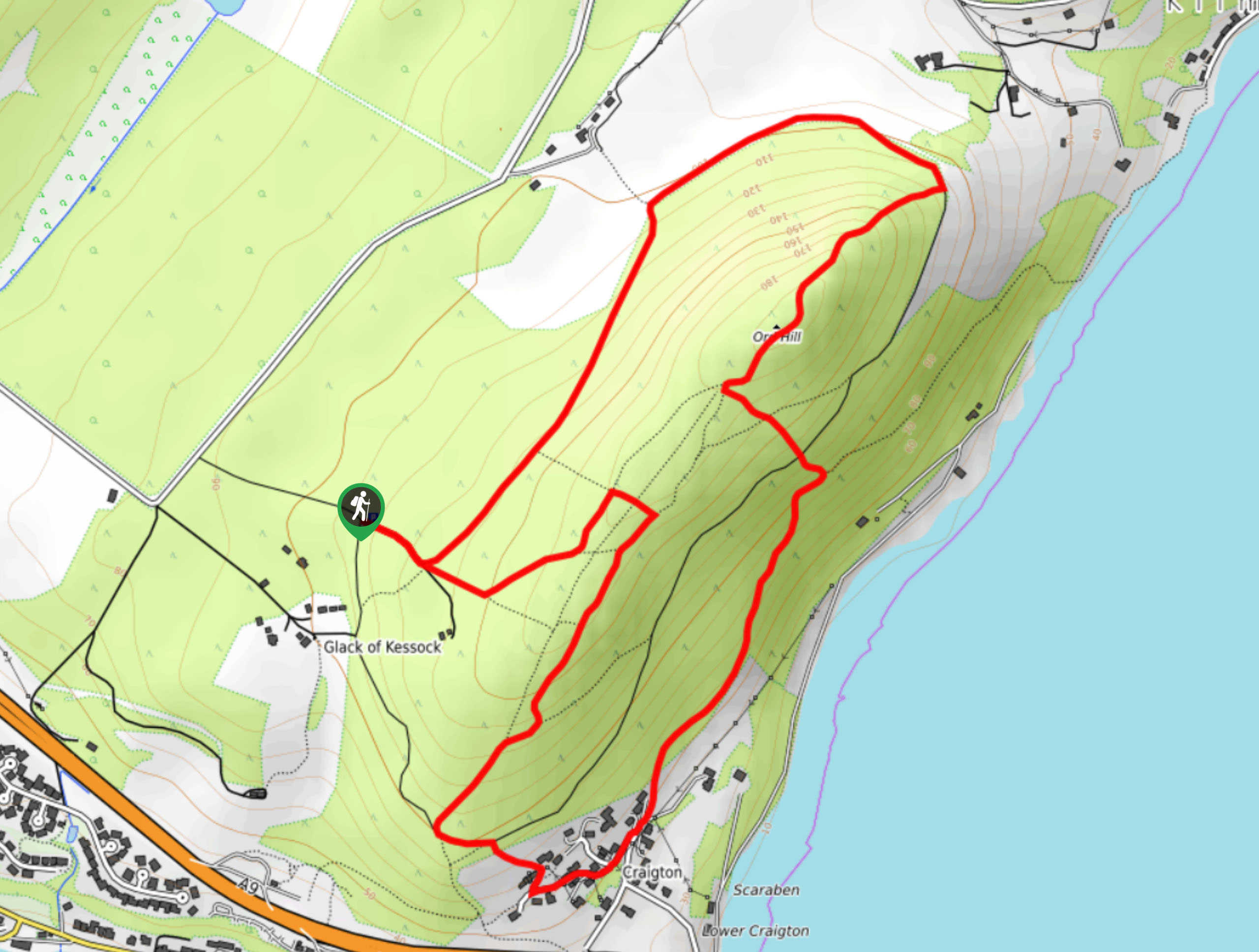
Ord Hill Walk
If you still have some gas left in the tank or have a day between activities in the Highlands and…
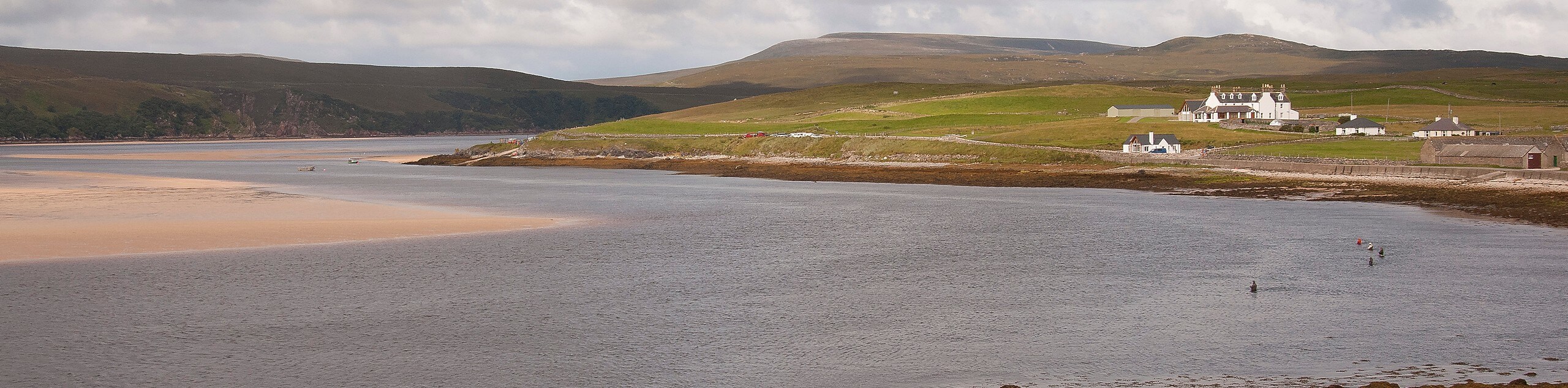
Kyle of Durness Circular Walk
The Kyle of Durness Circular Walk packs a punch when it comes to the scenery! Gaze out into the coastline,…
Dog Falls Walk
The Dog Falls Walk boasts a lovely, serene setting, punctuated by a waterfall, River Affric, and a stunning view of…
Comments