Suicide Creek Trail
View Photos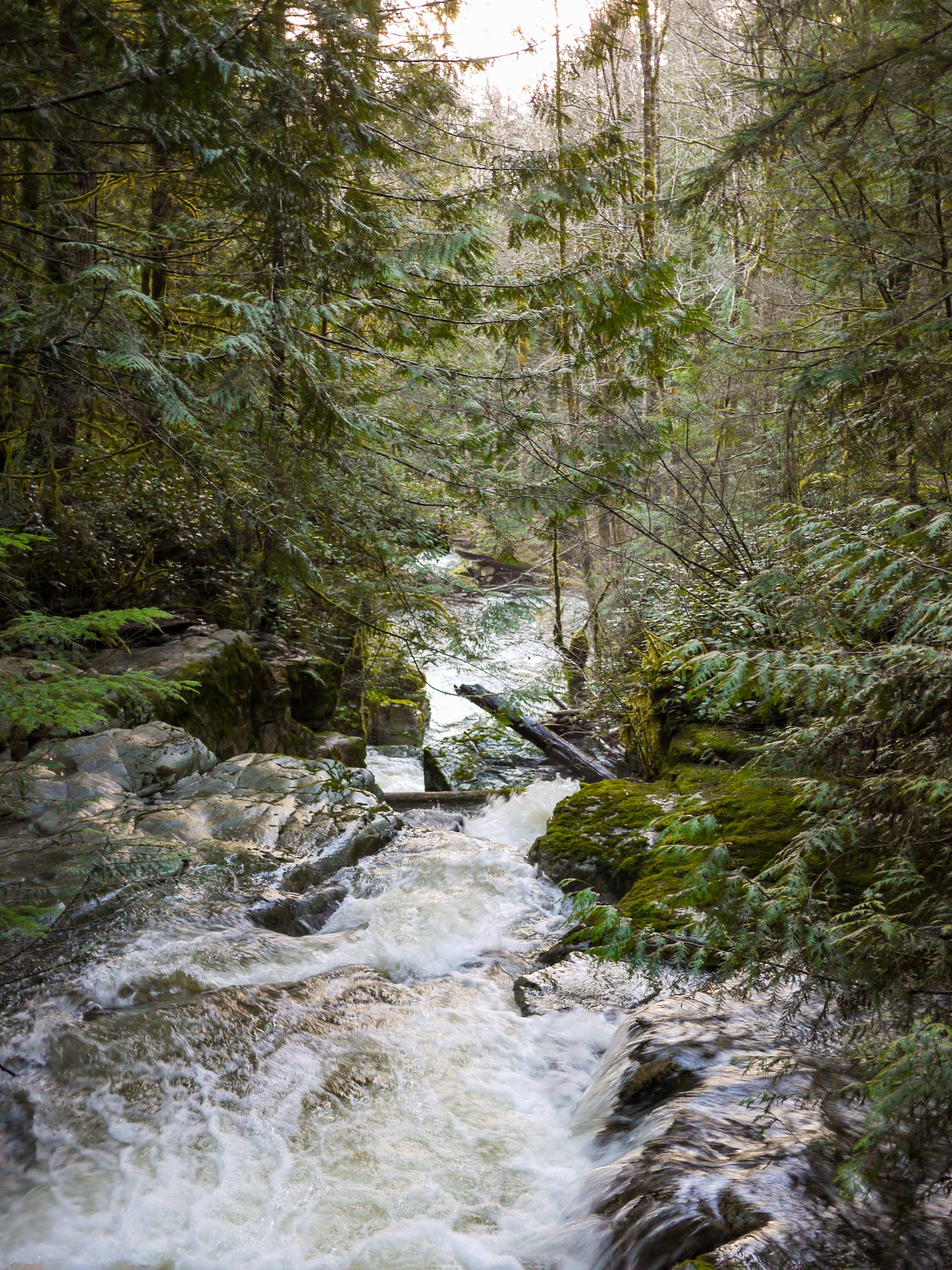
Suicide Creek Trail
Difficulty Rating:
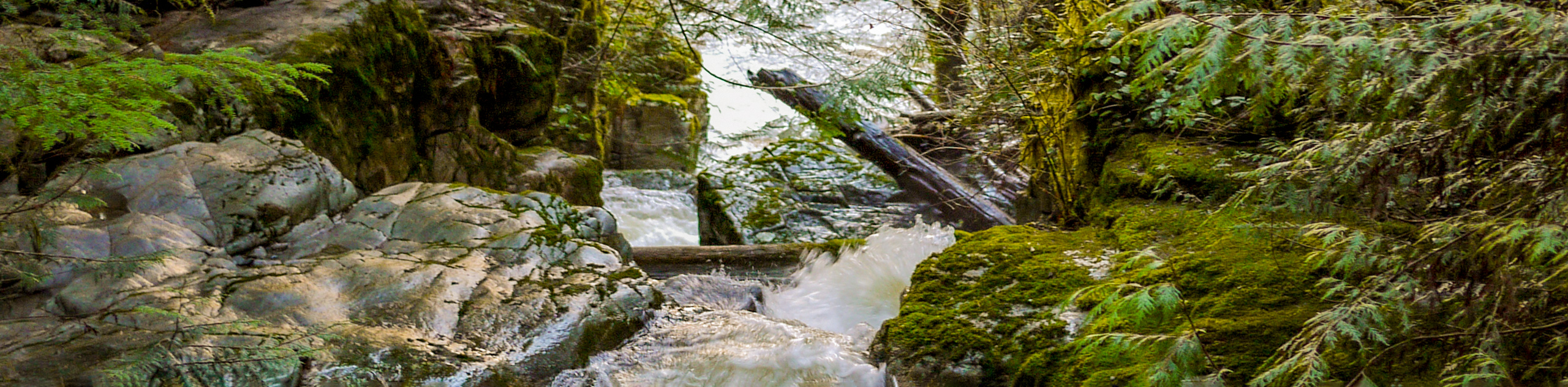
The Suicide Creek Trail is an 5.2mi hiking circuit near Powell River that loops through a breathtaking stretch of West Coast temperate rainforest and will make you feel as though you are on a true adventure. Consisting of pristine trails that are well-marked and easily-navigated, this trail is ideal for an afternoon family hike and is even off-leash friendly, meaning you won’t need to leave your canine companions at home. Along the trail you will find several wooden bridges and stretches of boardwalk, which might inhibit travel for some hikers.
Getting there
To get to the Suicide Creek Trail from Powell River, drive north along Manson Ave for 1.5mi and make a right turn onto Cassiar St. Turn left after 984ft onto Yukon Ave and continue along it for 0.6mi before making a right onto Haslam St. After 2297ft, make a right turn onto Haslam Lake Rd and continue on for 0.8mi. Make a right and stay on the road for 3.0mi before making a left onto Duck Lake Brach 1/Larson Landing Rd. After 1.1mi, you will arrive at the trailhead on your right.

About
| When to do | April-October |
| Backcountry Campsites | No |
| Pets allowed | Yes - On Leash |
| Family friendly | Yes |
| Route Signage | Average |
| Crowd Levels | Low |
| Route Type | Circuit |
Suicide Creek Trail
Elevation Graph
Weather
Suicide Creek Trail Description
Hiking the Suicide Creek Trail is one of the best outdoor experiences in the Powell River area due to the amazing scenery and easy accessibility of the trail. As mentioned, this route features well-maintained and well-marked paths that make it suitable for hikers of almost every skill level. Setting out from the trailhead, make your way south and into the dense cover of the trees. As you work your way along the trail, take some time to relax and soak up the amazing rainforest atmosphere that is filled with moss-covered trees and abundant plant life. This trail features several creek crossings, including the beautifully constructed bridge at Kolezar Krossing that will allow you to effortlessly cross over the rushing water below. After making your way along the forested loop, you will eventually arrive back at the trailhead where you began your journey.
Similar hikes to the Suicide Creek Trail hike

Malaspina Switchback Trail
The Malaspina Switchback Trail is a 4.3mi out-and-back hiking route in Powell River, BC, that will take you…

Holly Branch Loop Hike
The Holly Branch Loop is a 3.7mi lollipop hiking route near Powell River, BC, that will take you…

Stillwater Bluffs Trail
The Stillwater Bluffs Trail is a 1.9mi lollipop hiking route along the Sunshine Coast that provides some amazing…
Comments