Chapman Falls Hike
View Photos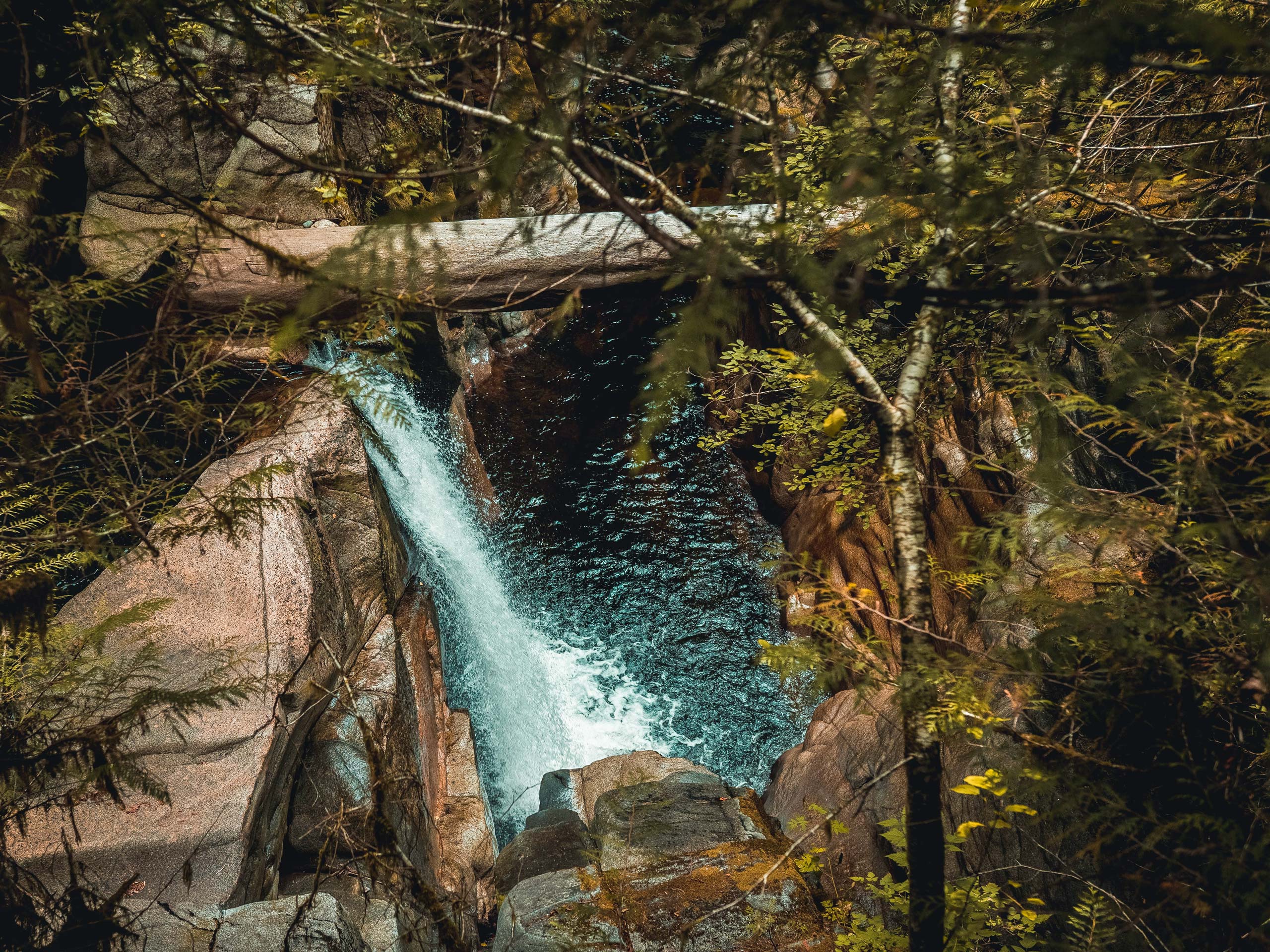
Chapman Falls Hike
Difficulty Rating:
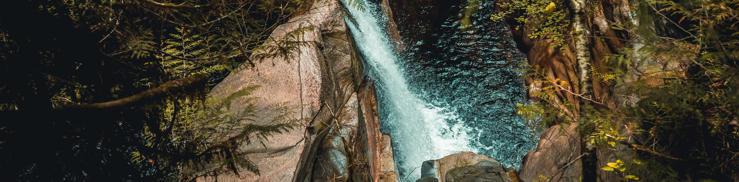
The Chapman Falls Hike is a 4.5mi lollipop hiking route near Sechelt, BC, that will take you upstream along Chapman Creek to the rushing water of a scenic waterfall. Along the trail, you will hike through an amazing forest setting and experience the tranquility of the natural landscape, as you follow the bubbling creek to the viewpoint for a sightline overlooking the cascading water. This is a great hike in close proximity to town that will allow you to get out and connect with nature.
Getting there
To reach the trailhead for Chapman Falls from Sechelt, drive east on BC-101 for 1.0mi and turn left on Selma Park Road. After 2133ft, you will find the trailhead at the end of the road.

About
| When to do | April-November |
| Backcountry Campsites | No |
| Pets allowed | No |
| Family friendly | Yes |
| Route Signage | Average |
| Crowd Levels | Low |
| Route Type | Lollipop |
Chapman Falls Hike
Elevation Graph
Weather
Chapman Falls Trail Description:
Making the trek out to Chapman Falls is a fun, family-friendly activity that will get you out exploring the natural beauty of the inlands landscapes along the Sunshine Coast. Make sure to check out the trail conditions before you set out on your hike, as the area is sometimes closed off due to nearby mining operations. Setting out from the trailhead, you will find yourself hiking through an amazingly scenic forest setting that follows Chapman Creek upstream toward the falls. Although getting a good sightline can be a bit tricky, if you explore the area you will be able to catch some nice views overlooking the cascading water. After enjoying the lovely creekside atmosphere, follow the trail along Reservoir Road for an alternate route back to the trailhead.
Similar hikes to the Chapman Falls Hike hike

Malaspina Switchback Trail
The Malaspina Switchback Trail is a 4.3mi out-and-back hiking route in Powell River, BC, that will take you…

Holly Branch Loop Hike
The Holly Branch Loop is a 3.7mi lollipop hiking route near Powell River, BC, that will take you…

Stillwater Bluffs Trail
The Stillwater Bluffs Trail is a 1.9mi lollipop hiking route along the Sunshine Coast that provides some amazing…
Comments