Soames Hill Loop Hike
View Photos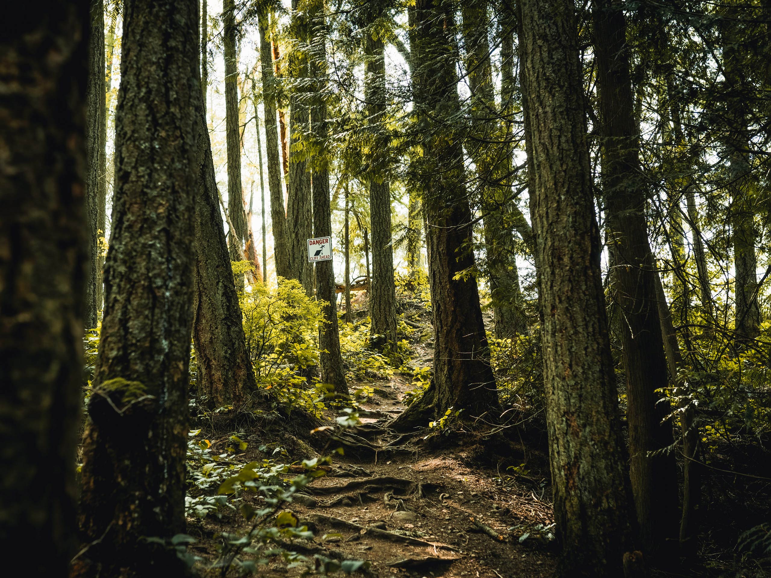
Soames Hill Loop Hike
Difficulty Rating:
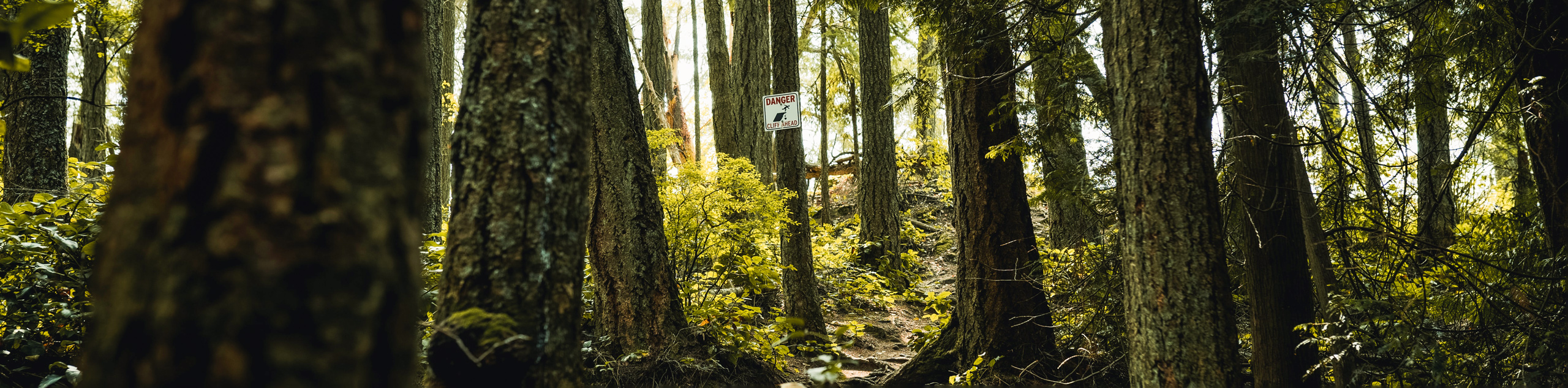
The Soames Hill Loop is a 1.6mi lollipop hiking route in Gibsons, BC, that climbs uphill to a lookout over Howe Sound. From the summit of the hill, you will have an amazing view across the water to Keats Island, Bowen Island, and mainland British Columbia in the distance. There are a number of stairs along the route, which may restrict usage of this trail for less-mobile hikers.
Getting there
To reach the trailhead for the Soames Hill Loop from Gibsons, head north on BC-101 for 1.2mi and continue straight onto N Road. After 1.0mi, turn right onto Bridgeman Road and follow it for 310.7mi to reach the trailhead.

About
| When to do | Year-Round |
| Backcountry Campsites | No |
| Pets allowed | Yes - On Leash |
| Family friendly | Yes |
| Route Signage | Average |
| Crowd Levels | Moderate |
| Route Type | Lollipop |
Soames Hill Loop Hike
Elevation Graph
Weather
Soames Hill Trail Description
Hiking the Soames Hill Loop is a fun, family-friendly activity that will take you through a beautiful forest setting and allow you to experience the beauty of the Sunshine Coast from a scenic hilltop lookout. From the trailhead, enter into the forest and head to the east on a route towards Soames Hill. To make your way up to the vantage point, you will need to climb up the hillside and utilize a series of stairs. Once there, you will have a nice view across Howe Sound that includes several islands, as well as the BC mainland. After taking in the views, head back downhill and complete the loop through the amazing forest setting to return to the trailhead.
Similar hikes to the Soames Hill Loop Hike hike

Malaspina Switchback Trail
The Malaspina Switchback Trail is a 4.3mi out-and-back hiking route in Powell River, BC, that will take you…

Holly Branch Loop Hike
The Holly Branch Loop is a 3.7mi lollipop hiking route near Powell River, BC, that will take you…

Stillwater Bluffs Trail
The Stillwater Bluffs Trail is a 1.9mi lollipop hiking route along the Sunshine Coast that provides some amazing…
Comments