Mount Daniel Trail
View Photos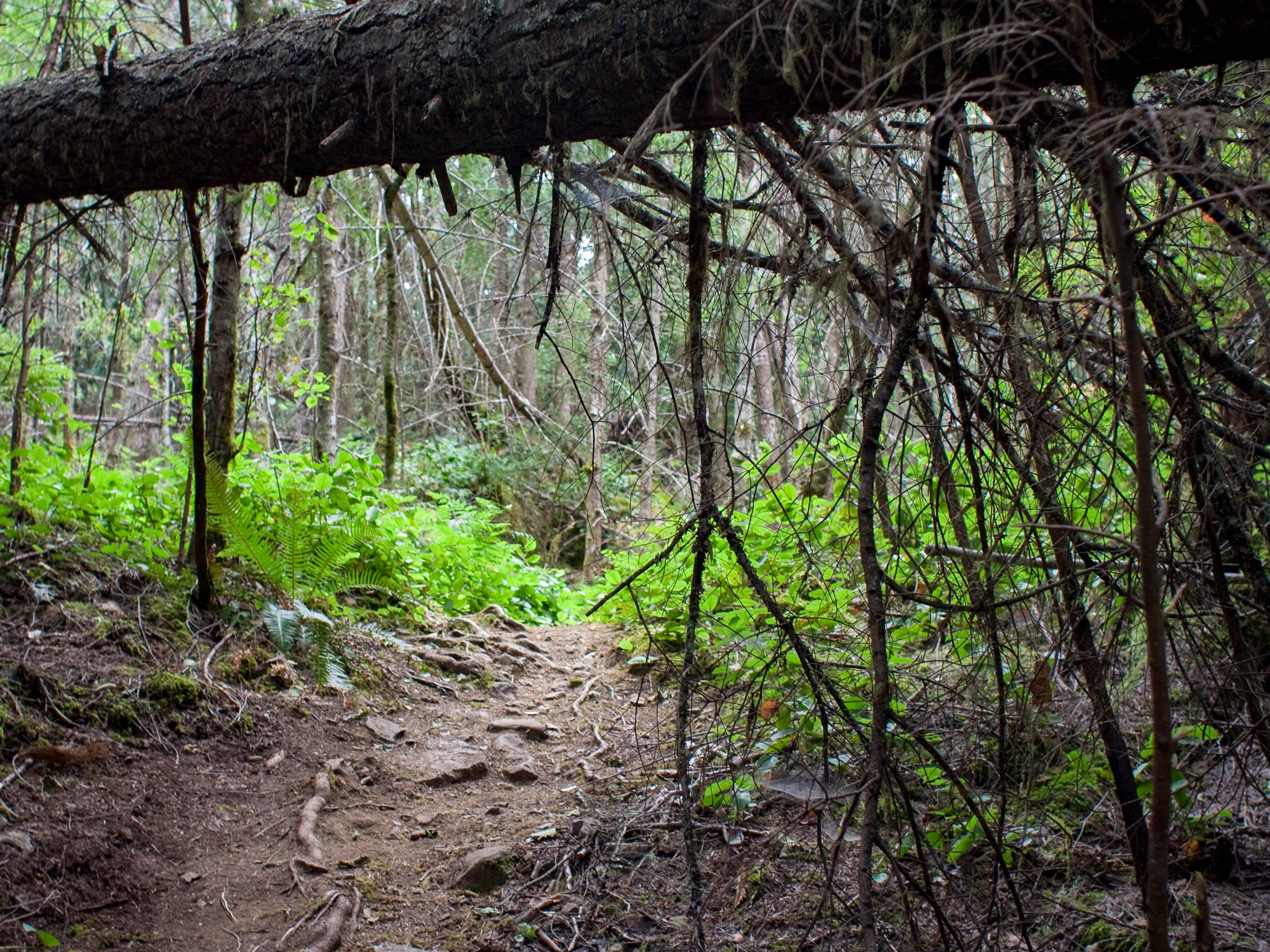
Mount Daniel Trail
Difficulty Rating:
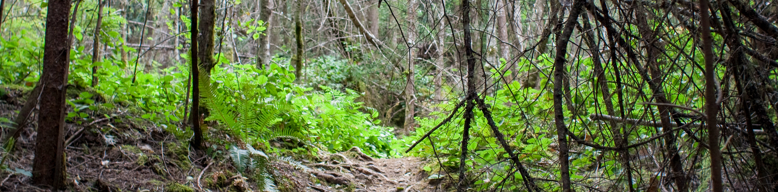
The Mount Daniel Trail is a 2.6mi out-and-back hiking route that will take you to the top of this small mountain for what some consider to be the best views along the Sunshine Coast. Along the trail, you will hike along a densely forested path up the north side of the mountain, where you will experience an amazing sightline over Pender Harbour and Francis Point Provincial Park in the foreground, with Texada and Vancouver islands across the Strait of Georgia. With non-technical terrain and a fairly moderate incline, this is a great hike that just about anyone will enjoy.
Getting there
To reach the trailhead for Mount Daniel from Sechelt, head west along BC-101 for 23.1mi and turn left onto Garden Bay Road. After 2.1mi, you will find the trailhead on the left.

About
| When to do | May-September |
| Backcountry Campsites | No |
| Pets allowed | Yes - On Leash |
| Family friendly | Older Children only |
| Route Signage | Average |
| Crowd Levels | Moderate |
| Route Type | Out and back |
Mount Daniel Trail
Elevation Graph
Weather
Mount Daniel Trail Description
If you are looking for arguably the best views along the beautiful expanse of the Sunshine Coast, then you might just find them from the top of the Mount Daniel Trail. This quick hiking route sets out from the side of the road and immediately enters into the forest, where you will initially be met with a bit of a steep incline. This levels out fairly quickly to a more gradual climb up the mountainside that will take you through an amazingly scenic section of temperate rainforest. Reaching the summit of the mountain, you will be met with some truly spectacular views that overlook the breathtaking coastal landscape and stretch across the blue expanse of the strait of Georgia. After taking in the views, head back down the same route to return to the trailhead.
Similar hikes to the Mount Daniel Trail hike

Malaspina Switchback Trail
The Malaspina Switchback Trail is a 4.3mi out-and-back hiking route in Powell River, BC, that will take you…

Holly Branch Loop Hike
The Holly Branch Loop is a 3.7mi lollipop hiking route near Powell River, BC, that will take you…

Stillwater Bluffs Trail
The Stillwater Bluffs Trail is a 1.9mi lollipop hiking route along the Sunshine Coast that provides some amazing…
Comments