Mansons Landing Loop Trail
View Photos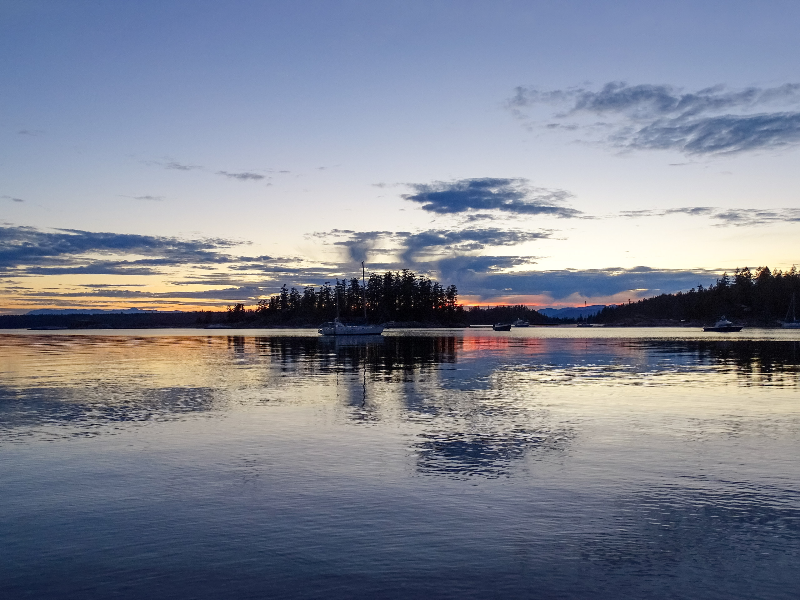
Mansons Landing Loop Trail
Difficulty Rating:
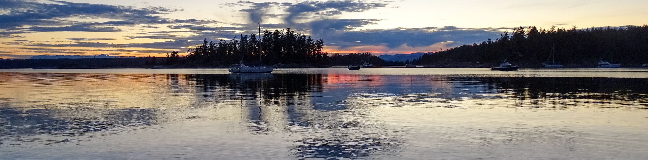
The Mansons Landing Loop is a 5.9mi lollipop hiking route that begins in Mansons Landing Provincial Park and heads east through the forest to the edge of Gunflint Lake. Along the trail, hikers will experience an amazing forest setting to hike through while taking in the beautiful sights across the coastal landscape. Try timing your hike with the tide to check out the tidal pools that can be found in nearby Mansons Lagoon.
Getting there
To reach the trailhead for the Mansons Landing Loop from Squirrel Cove, head east on Squirrel Cove Road for 2.5mi and continue straight onto Seaford Road. After 1.0mi, turn right to stay on the same road for another 3.0mi. Make a right onto Sutil Point Road and you will find the parking area in 2789ft.

About
| When to do | April-November |
| Backcountry Campsites | No |
| Pets allowed | Yes |
| Family friendly | Older Children only |
| Route Signage | Average |
| Crowd Levels | Low |
| Route Type | Lollipop |
Mansons Landing Loop Trail
Elevation Graph
Weather
Mansons Landing Trail Description
Hiking the Mansons Landing Loop is a great way to explore some of the different landscapes that can be found on Cortes Island. From the trailhead, hikers will head to the southeast through Mansons Landing Provincial Park and enjoy views that stretch out across the coastal terrain. From here, the trail will turn more to the east and head through a large stretch of scenic forest before arriving at the shores of Gunflint Lake. As you work your way along the western edge of the lake, take some time to appreciate the amazing views that sweep across its calm woodland shores. Reaching the southern tip of the lake, the trail will turn back to the west and cut through the dense forest once again, skirting along the edge of Hague Lake as it meanders towards the trailhead where you began your hike.
Similar hikes to the Mansons Landing Loop Trail hike

Malaspina Switchback Trail
The Malaspina Switchback Trail is a 4.3mi out-and-back hiking route in Powell River, BC, that will take you…

Holly Branch Loop Hike
The Holly Branch Loop is a 3.7mi lollipop hiking route near Powell River, BC, that will take you…

Stillwater Bluffs Trail
The Stillwater Bluffs Trail is a 1.9mi lollipop hiking route along the Sunshine Coast that provides some amazing…
Comments