Francis Point Lighthouse Trail
View Photos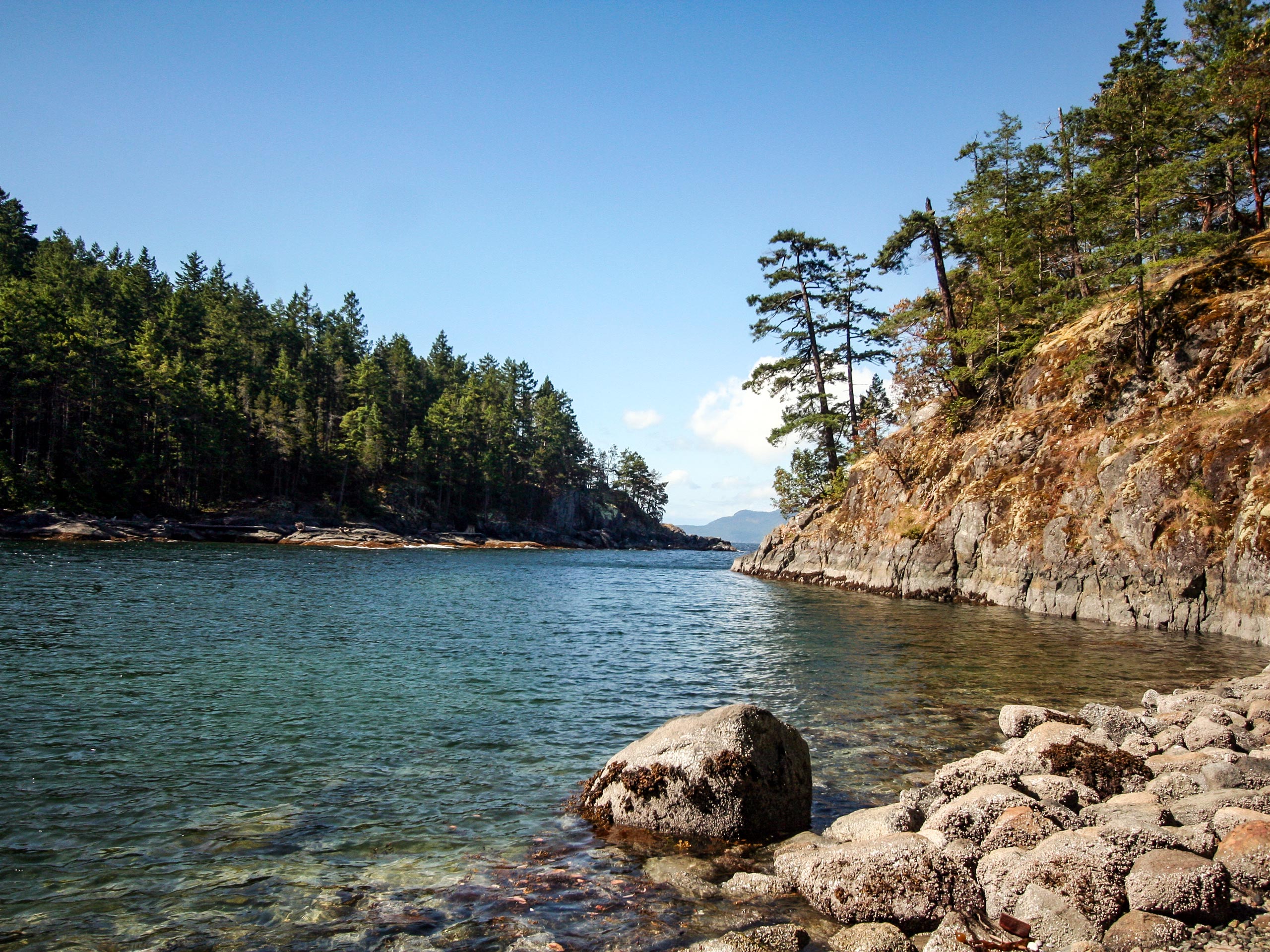
Francis Point Lighthouse Trail
Difficulty Rating:
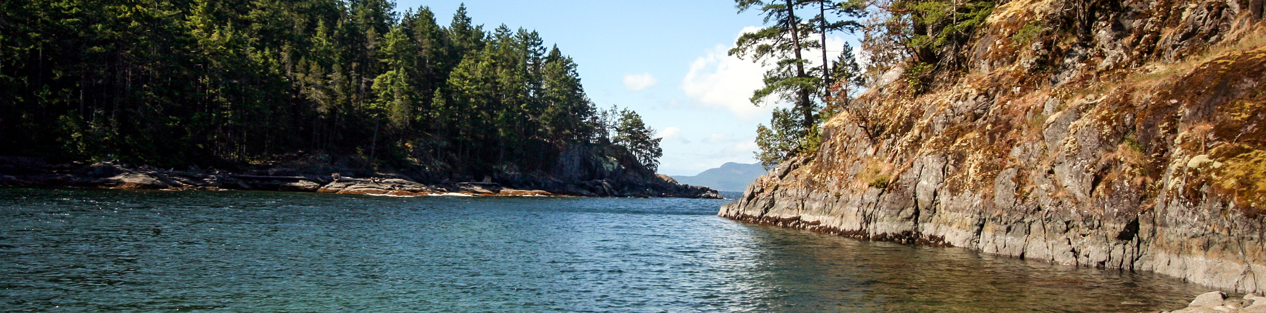
The Francis Point Lighthouse Trail is a 1.6mi out-and-back hiking route in Francis Point Provincial Park that will take you through a beautiful grove of arbutus trees and along the coastline to arrive at a small lighthouse beacon. Along the trail, you will experience a tranquil forest setting and have amazing views stretching across the strait to Texada Island. Make sure to wear proper hiking footwear, as some parts of the trail are rocky and can become quite slippery when wet.
Getting there
To reach the Francis Point Lighthouse Trail from Sechelt, head west on BC-101 for 18.8mi and turn left on Francis Peninsula Road. After 1.7mi, turn right to stay on the road for another 2297ft. Turn left here on Merrill Road, where you will find the trailhead in 1312ft.

About
| When to do | Year-Round |
| Backcountry Campsites | No |
| Pets allowed | Yes - On Leash |
| Family friendly | Yes |
| Route Signage | Average |
| Crowd Levels | Low |
| Route Type | Out and back |
Francis Point Lighthouse Trail
Elevation Graph
Weather
Francis Point Lighthouse Trail Description
Although it is only a short trek, the Francis Point Lighthouse Trail is a fantastic hiking route for adventurers of almost every age and skill level, due to the easy-to-navigate trail and the amazing coastal scenery that is laid out before you. The route is initially fairly wide and flat, but it does become a bit more rocky as you get closer to the edge of the water. This might make things difficult for less mobile hikers and you should always make sure to wear proper footwear to better traverse the terrain.
Setting out from the parking area, the trail heads into the temperate rainforest before arriving at a viewpoint looking out onto Francis Bay. Continue left along the trail to the southwest, as you work closer to the rocky edge of the water. Here, you will have some amazing views looking across the Strait of Georgia. Carefully make your way along the rocky trail, where it will descend slightly into a lovely grove of arbutus trees. Continuing on a bit further will bring you to a small lighthouse beacon at the edge of the water, where you can gaze straight across at Texada Island in front of you. After enjoying the views and exploring the coastal landscape, make your way back along the same route to return to the trailhead.
Similar hikes to the Francis Point Lighthouse Trail hike

Malaspina Switchback Trail
The Malaspina Switchback Trail is a 4.3mi out-and-back hiking route in Powell River, BC, that will take you…

Holly Branch Loop Hike
The Holly Branch Loop is a 3.7mi lollipop hiking route near Powell River, BC, that will take you…

Stillwater Bluffs Trail
The Stillwater Bluffs Trail is a 1.9mi lollipop hiking route along the Sunshine Coast that provides some amazing…
Comments