Mt Becher hike
View Photos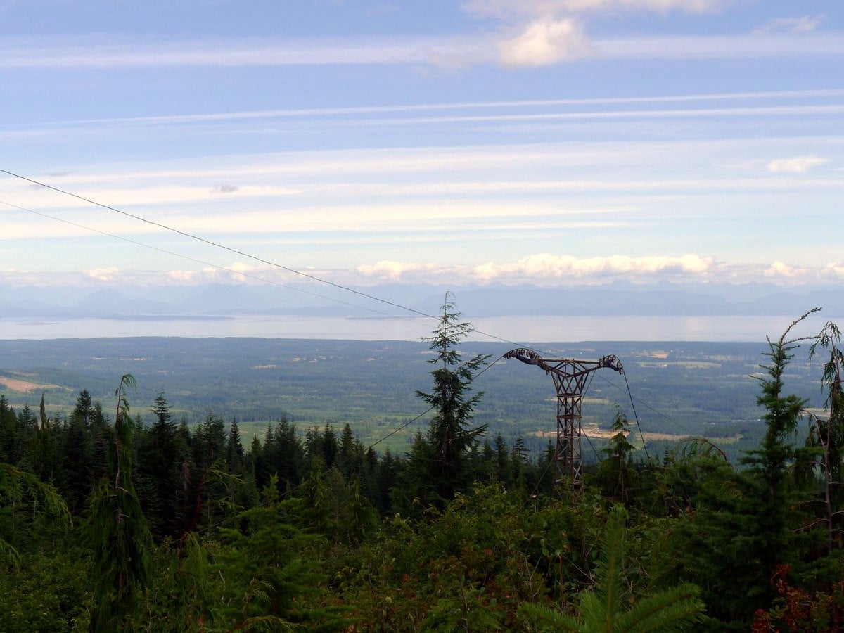
Mt Becher hike
Difficulty Rating:
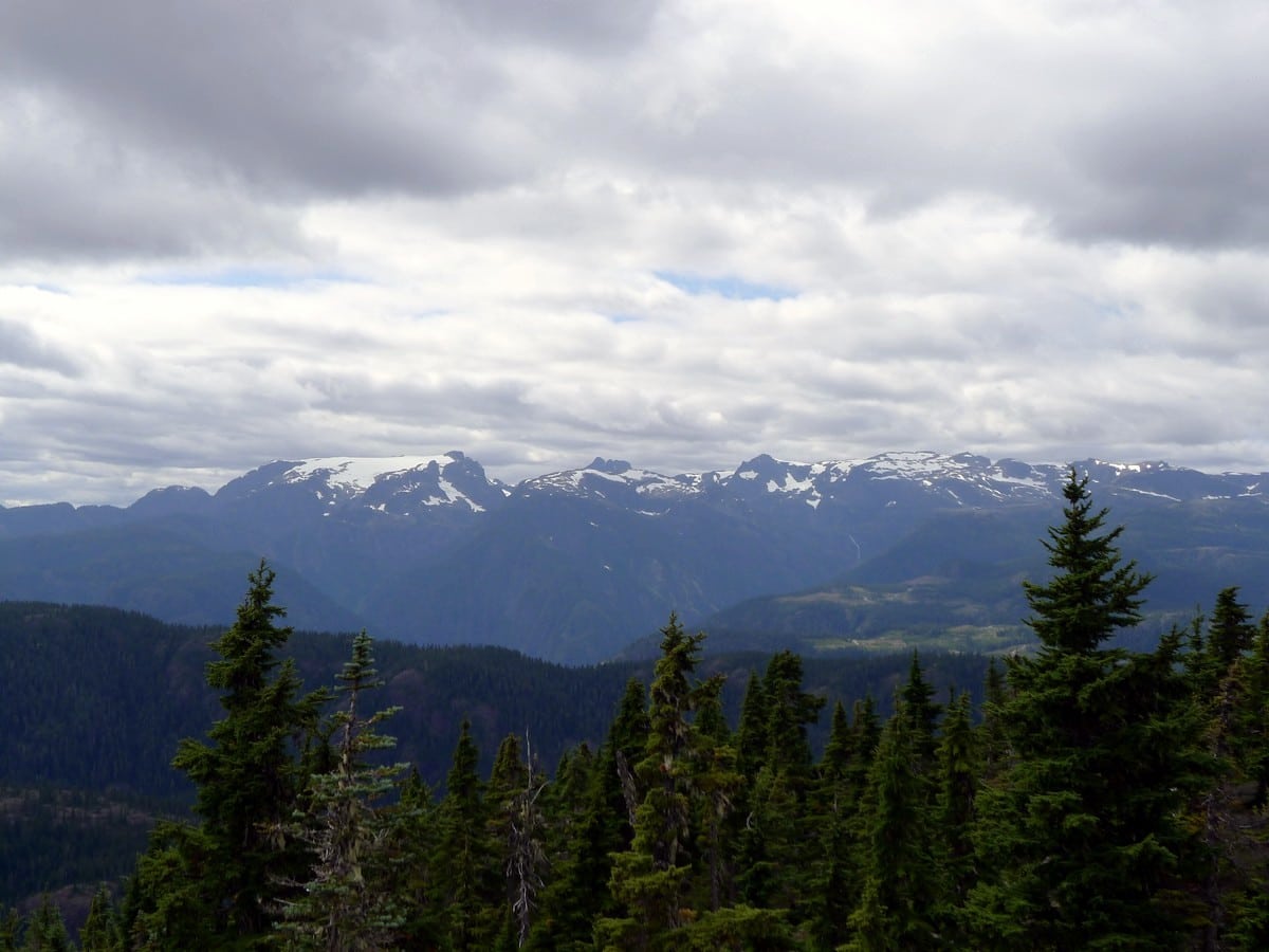
The hike to Mt Becher is a fantastic half-day in Strathcona Provincial Park. This hike has unbelievable access to the alpine and yields amazing views over to the Comox Glacier and Mt. Albert Edward. The sloping dome of Mt. Becher is the easternmost peak in the park.
Getting there
From south Vancouver Island, head north towards the Comox Valley along BC-19. Watch out for exit 127 towards Piercy Rd on the right. Loop around on Piercy Road for 0.9mi then turn right onto Forbidden Plateau Rd. Follow this road as it turns to dirt (still easily passable by sedans) all the way up 9.3mi to the parking lot of the old Ski Hill.

About
| When to do | July - September |
| Backcountry Campsites | Dispersed Camping |
| Toilets | No |
| Family friendly | No |
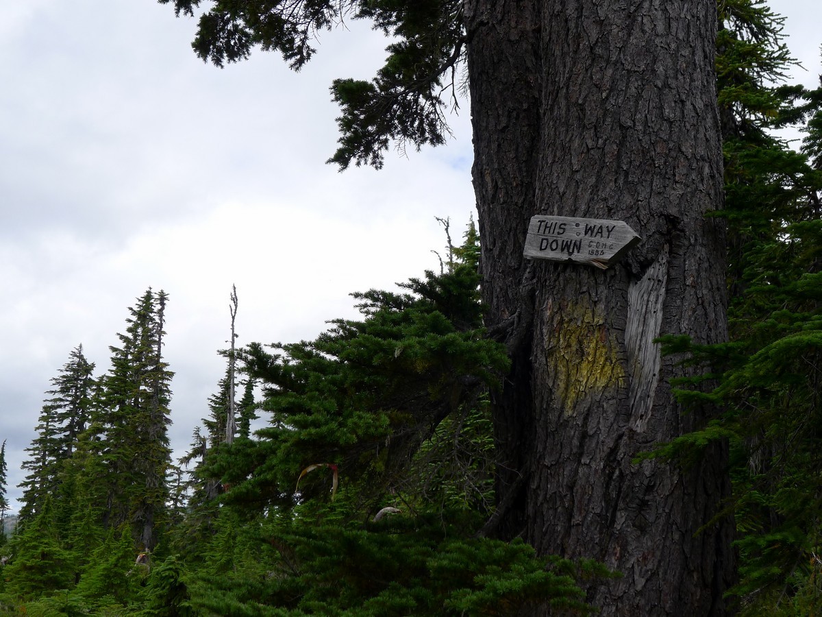
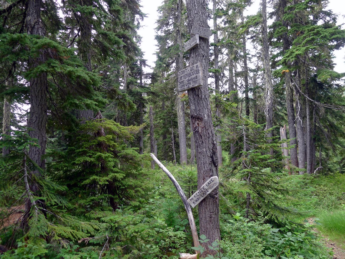
| Route Signage | Average |
| Crowd Levels | Low to Moderate |
| Route Type | Out and back |
Mt Becher
Elevation Graph
Weather
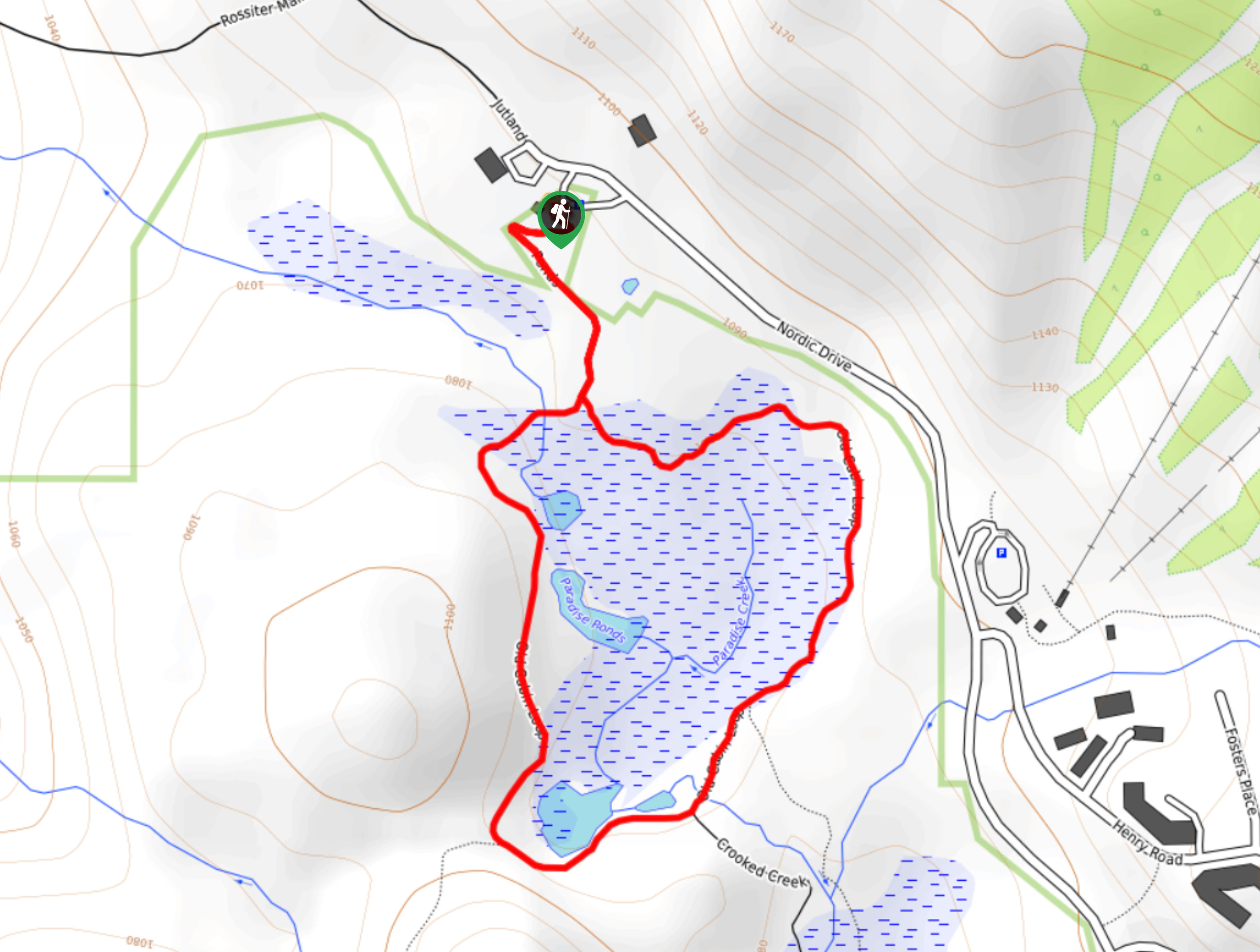
Route Description for Mt Becher
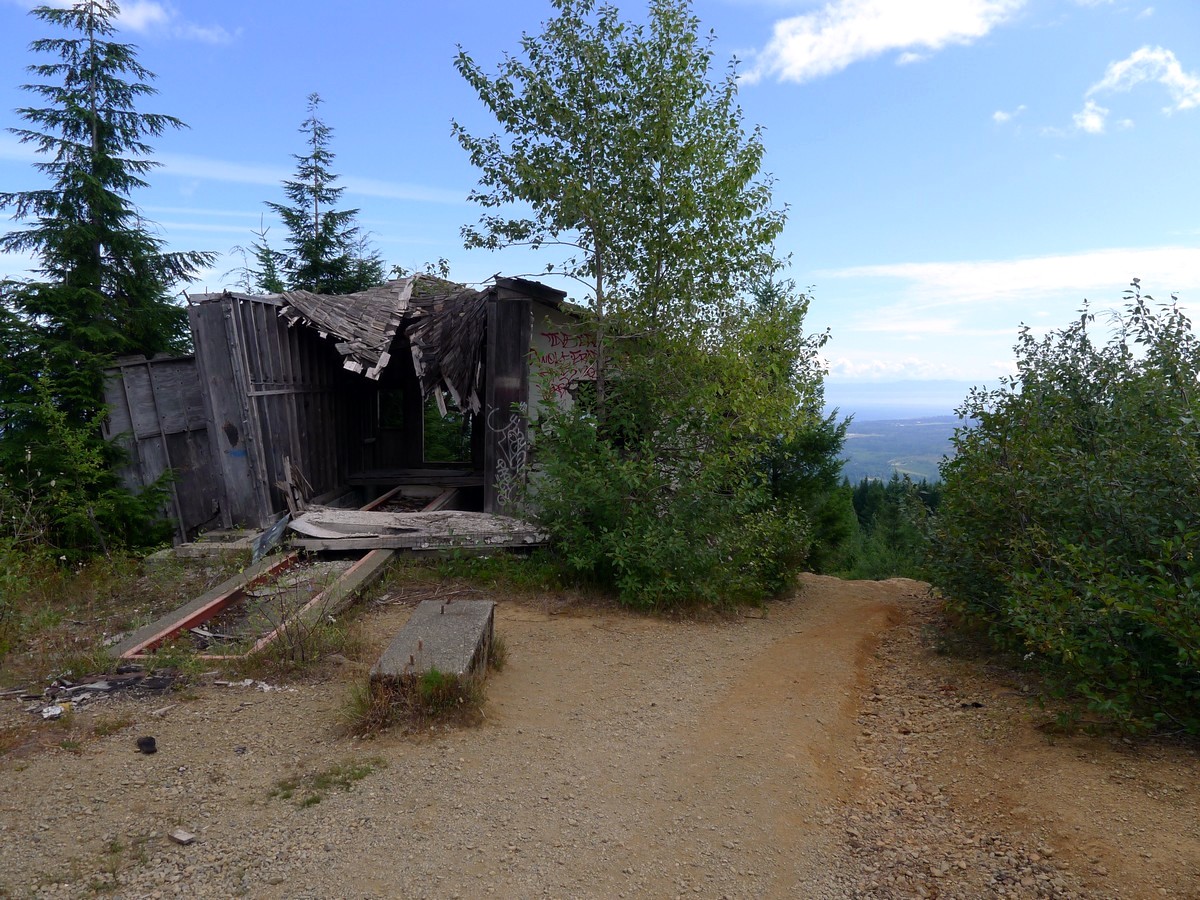
The hike to Mt Belcher starts in a less than pristine area. Don’t worry, you will soon leave the decrepit Forbidden Plateau ski hill behind and enter Strathcona Provincial Park.
From the base of the ski hill start heading up the obvious trail to the right of the large concrete structure. You will quickly start to gain elevation and pass by the old day lodge for the ski hill.
Continue up the trail as it switchbacks under the ski lift to the left, then loops around back to the right. Follow flagging tape as you follow this very old logging road up through what are now gladed ski runs in winter.
You will soon find yourself on a plateau far to the right of the ski lift. Continue following the trail and flagging tape as you cross the last bit of the ski hill.
You will finally see a map indicating that you are about to enter Strathcona Provincial Park. Continue along the better trail as you hike through the meadows on Mt. Becher’s northeast flank. You will pass by numerous gorgeous ponds as you meander, gaining elevation at a moderate rate. You will arrive at a junction where you will turn left, following signs for Mt. Becher.
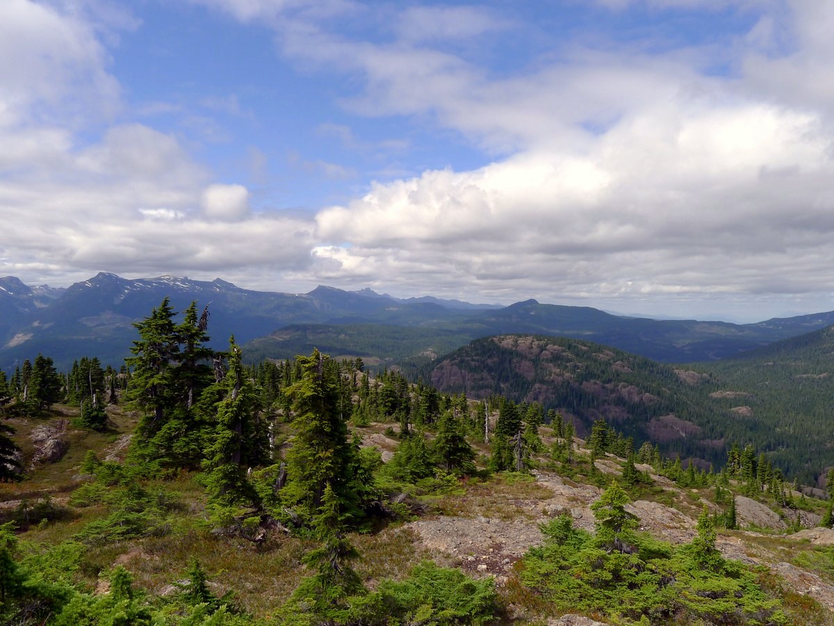
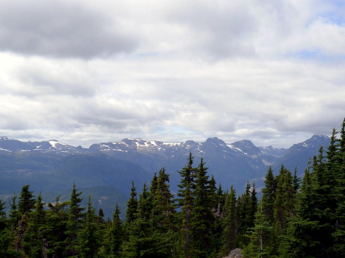
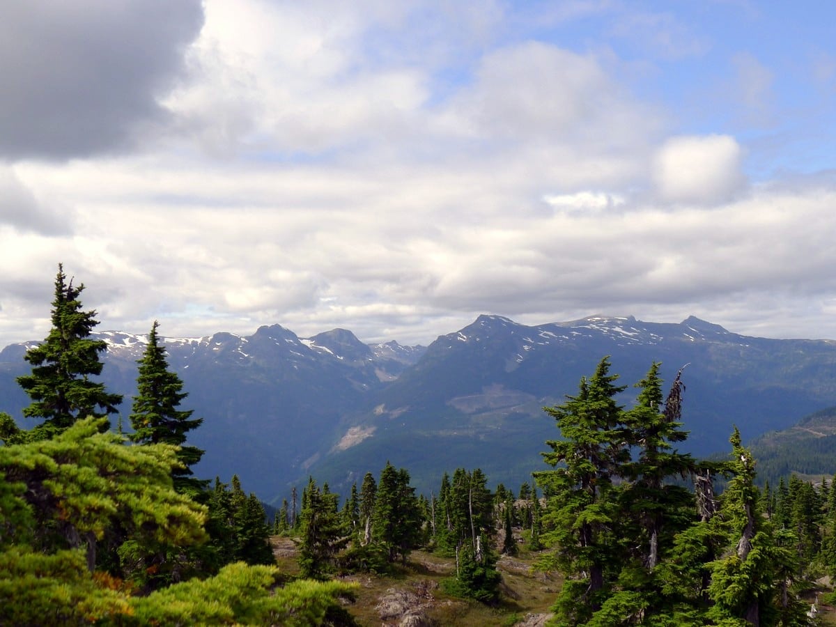
As the trees begin to thin out, you will get your first view to the east, of the ocean with the Coast Mountains looming on the mainland. Continue up the trail as it steepens to climb the final section of Mt Becher.
It is hard to determine which is the exact summit due to the dome-like nature of Mt Becher. Don’t worry, plunk yourself down wherever you like and enjoy the view.
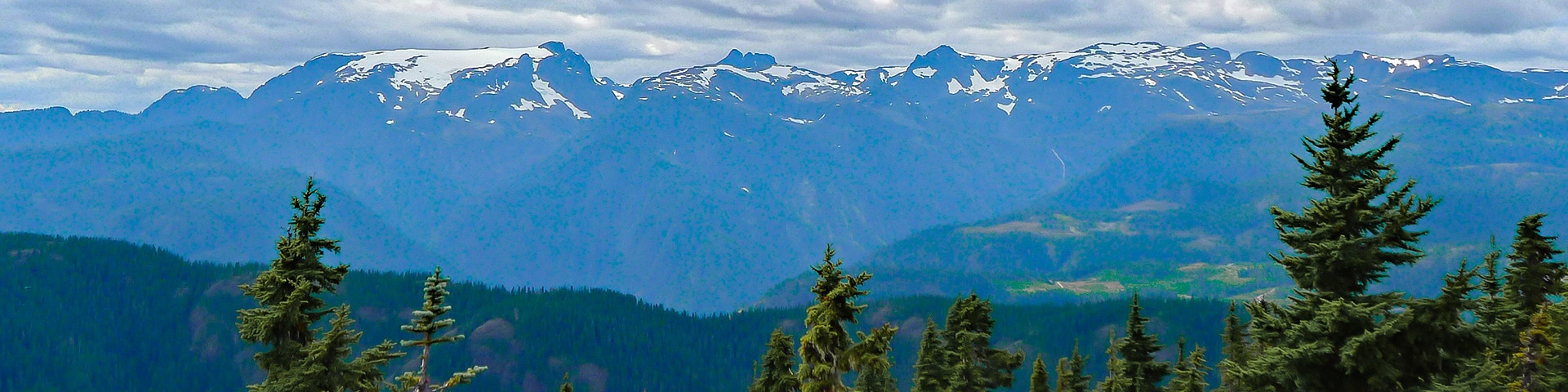
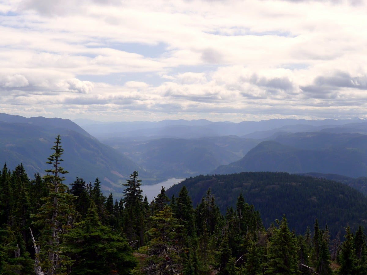
To your south you will see Comox Lake and the rugged hills surrounding Cumberland. To the west you can see the Comox Glacier and the ramp leading up to Mt. Albert Edward. The view east of the ocean is another stunner. Enjoy the view from the top of Mt Becher and then hike back the way you came.
Insider Hints
This hike is typically underestimated. Remember to bring ample clothing and water, since this is a wilderness outing.

Similar hikes to the Mt Becher hike
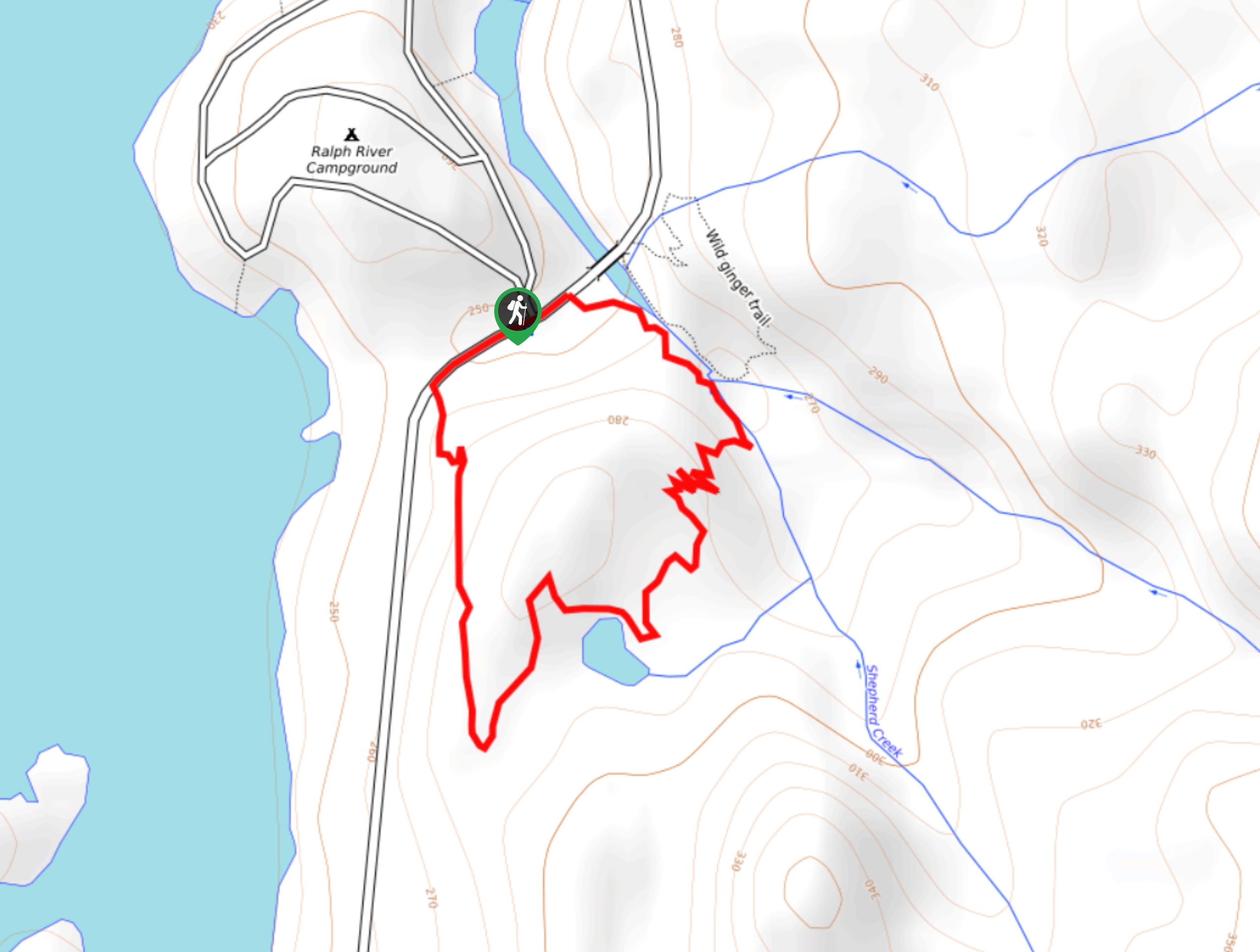
Shepherd Creek Trail
The Shepherd Creek Trail is a quick 1.1mi hike in Strathcona Provincial Park that offers a perfect way…
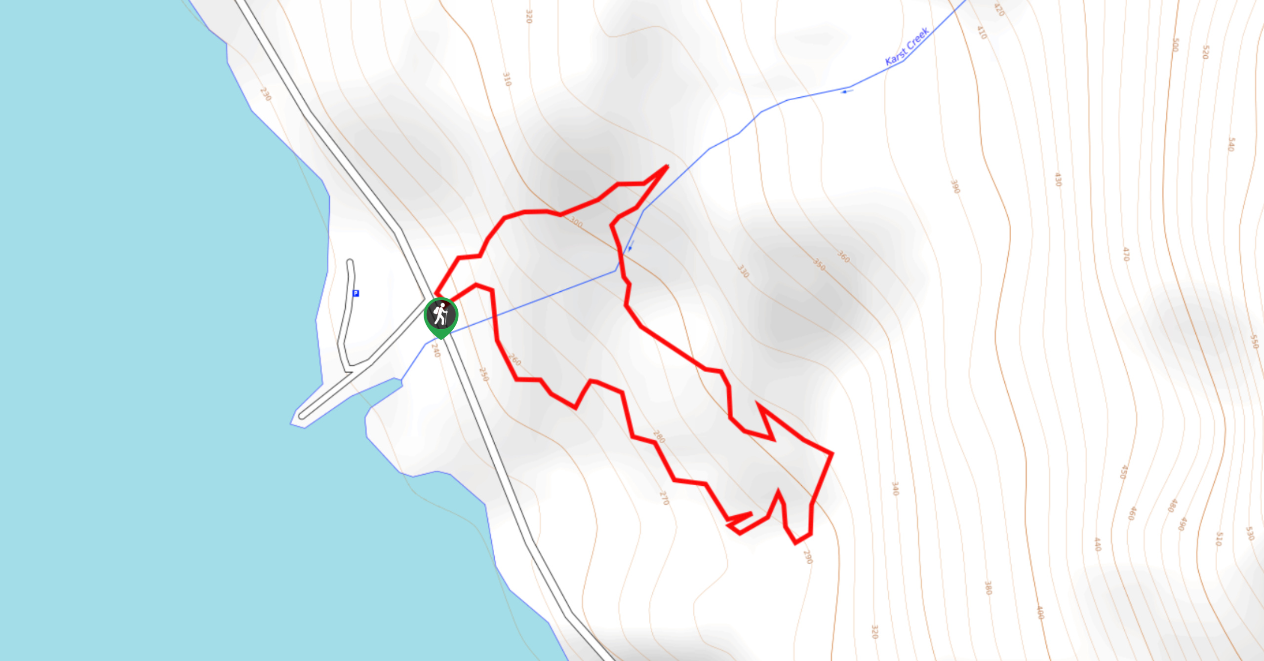
Karst Creek Trail
The Karst Creek Trail is a 0.8mi hiking loop that will take you through a beautiful stretch of…
Old Cabin Loop
The Old Cabin Loop is a 1.5mi scenic hiking route within Strathcona Provincial Park that travels around a…
Hannah Devine 4 years ago
not too hard, bit steep but such nice views
AnnSue 4 years ago
This was a particularly good hike. We did not even get that tired since we took a lot of breaks just to admire the views. The mountains and glaciers were magnificent!
RandyO 4 years ago
Mt Becher Hike was phenomenal! There's so much to see in this easy hike.
YukihiroSato 4 years ago
Lovely Hike. This is definitely like what they say "One for the books" My friend says that a lot, I'll try to bring him next time.
HIllaryPNW 4 years ago
Steep but easy trail from here to the summit. Summit is along a ridge so lots of exploring.
Rowan Sanders 4 years ago
This trail was awesome! Poles really helped us battle the snow :)
Tara Green 4 years ago
Definitely would recommend it. Pretty steep but worth it
Meighan 4 years ago
The views along the way will keep you occupied and motivated to continue to the top. It's definitely a rewarding view!
lashbee 4 years ago
Did this on snowshoes. This is a beautiful hike.
lashbee 4 years ago
Did this on snowshoes. Beautiful hike!