
Tunnel Bluffs hike
View Photos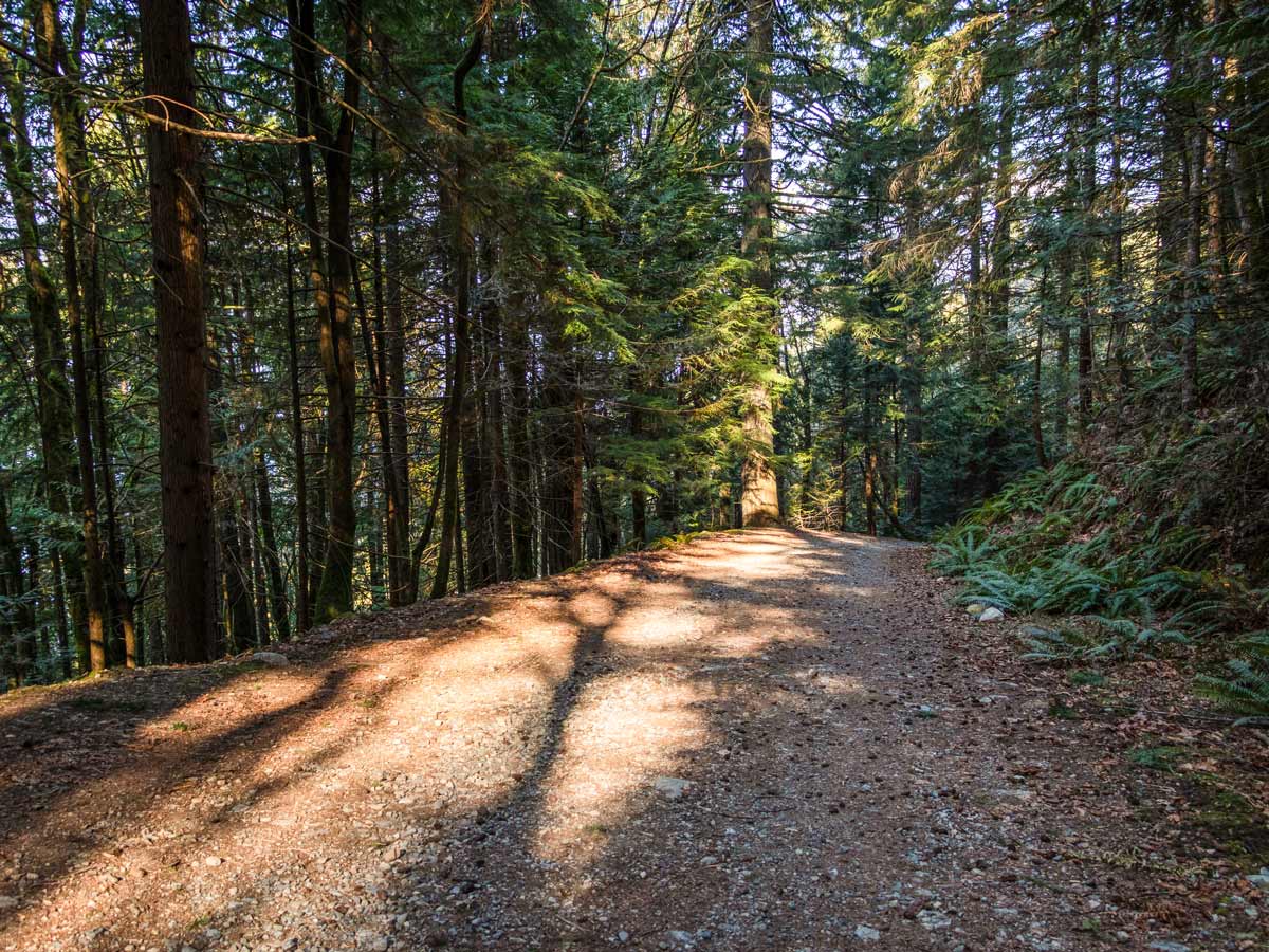
Tunnel Bluffs hike
Difficulty Rating:
Set out on the Tunnel Bluffs hike for a scenic view over Howe Sound and its many islands. This hike isn’t overly challenging and makes for a beautiful spot to take in the sunset and enjoy a sundowner picnic.
Getting there
Take the Lions Bay Ave exit. Merge onto Oceanview Road and take a left onto Crosscreek Road. Take a right onto Center Road and a left onto Bayview Road. Follow Bayview Road all the way up to its end and turn left onto Sunset Drive. At the end of Sunset Drive, you will find a limited number of pay parking spots.

About
| When to do | March to November |
| Backcountry Campsites | No |
| Pets allowed | Yes - On Leash |
| Family friendly | No |
| Route Signage | Average |
| Crowd Levels | Moderate |
| Route Type | Out and back |
Tunnel Bluffs
Elevation Graph
Weather
Route Description for Tunnel Bluffs
Embark on the Tunnel Bluffs hike from the parking lot, heading towards a gravel road, just past the yellow gate. Prepare for a gentle uphill climb towards the first junction, continue on straight, past a water station on your right-hand side.
At the 0.6mi mark, you’ll arrive in a big clearing. The road splits here with a gated area blocking off the path heading straight. You’ll veer right, heading further uphill and over multiple switchbacks—tackling most of the elevation early.
About half-an-hour into the hike, you’ll reach a junction, head left following the Brunswick Mountain Trail, heading into a forested area. Cross over a stream, until you reach a makeshift log bridge over Magnesia Creek.
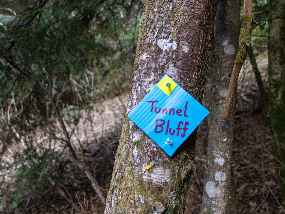
Shortly after the Magnesia Creek bridge, keep an eye out for markers tacked onto stumps reading ‘Brunswick Mountain’. Pay attention here, as you’ll want to find a trail that splits to the left reading ‘Tunnel Bluffs’.
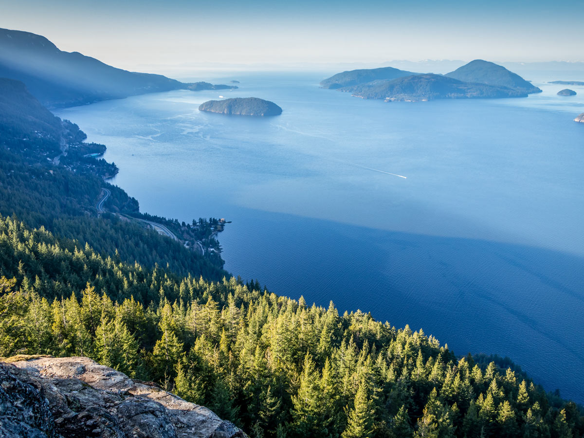
Leave behind the Brunswick Trail, onto the Hat Trail heading north on the easy pathway. At the 2.5mi mark, you’ll have to cross another creek, but you’ll be rewarded with your first views of Howe Sound to your left.
Cross over M (Yahoo) Creek, with a rope handrail to help you cross.
You will soon come to another junction which is clearly marked. Go left at this junction, towards Tunnel Bluffs, for another 1640ft.
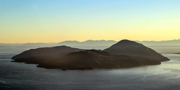
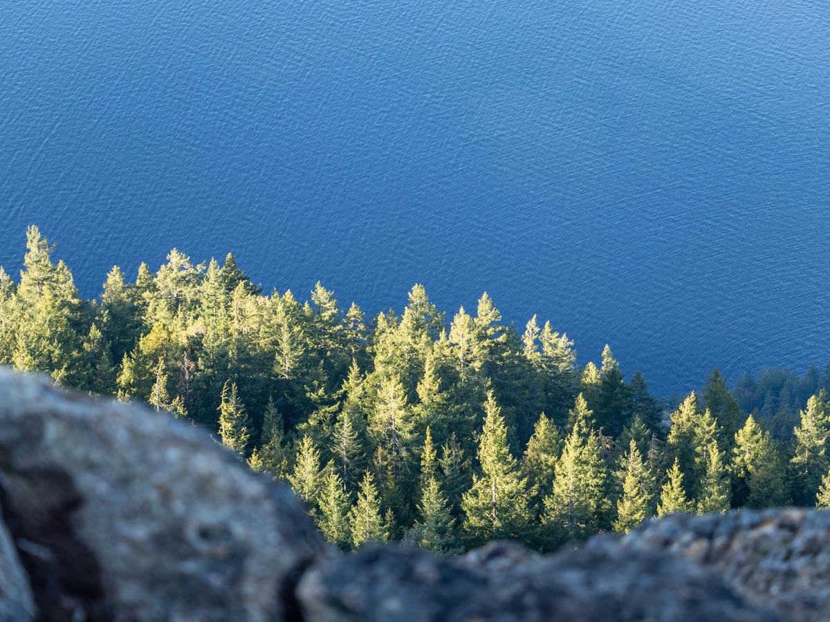
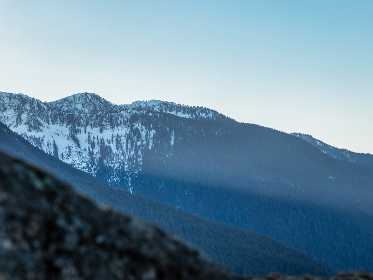
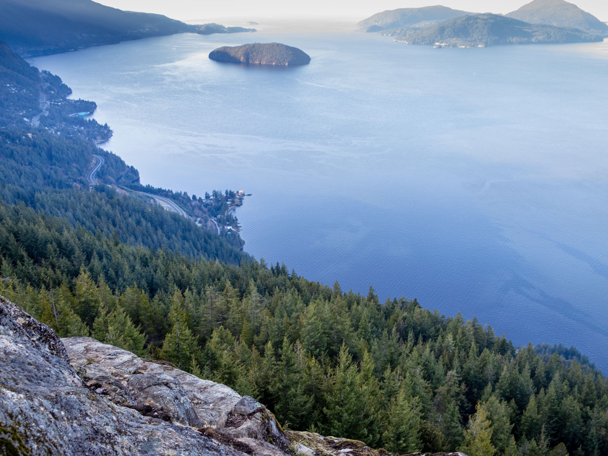
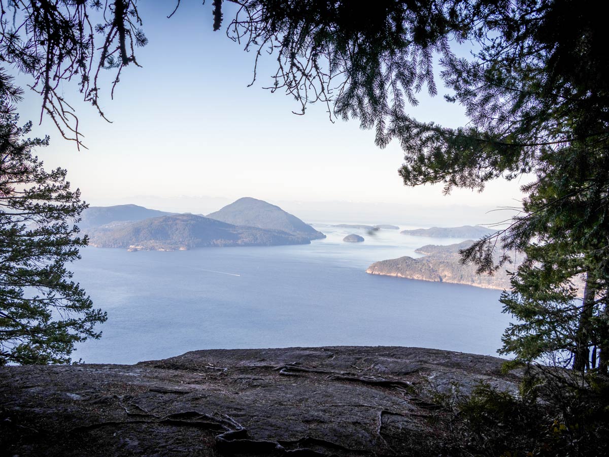
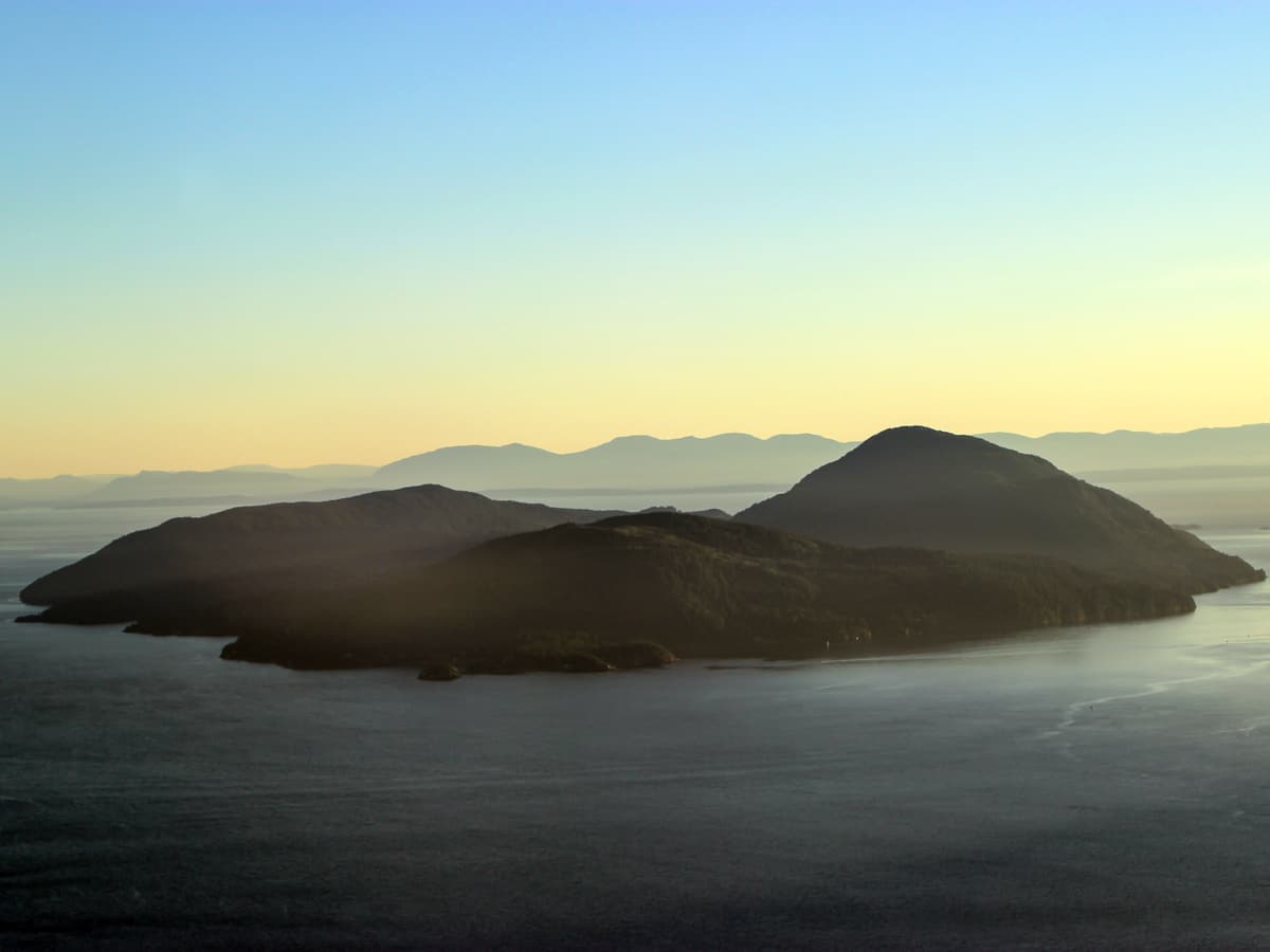
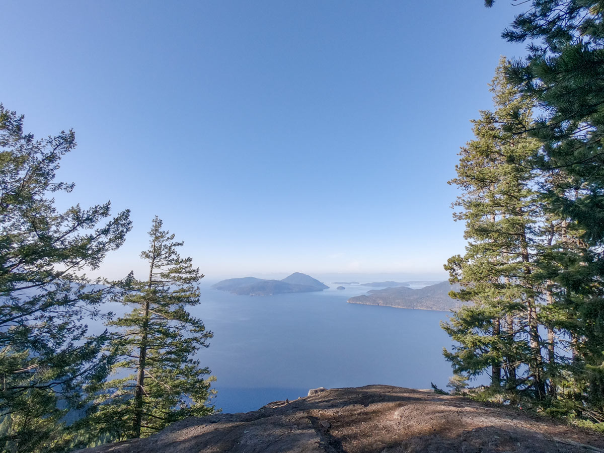
Experience a jaw-dropping moment as you reach Tunnel Bluffs, with an expansive view of Howe Sound. You can see Bowen (Mount Gardner), Gambier, Anvil and Vancouver islands (to name a few).
There is plenty of space here to kick back and relax. Enjoy lunch here and rest tired muscles before retracing your steps back to the parking lot.
Insider Hints
As of March 2020, a 30-minute parking restriction has been placed at the Tunnel Point viewpoint parking area. This effectively makes it impossible to complete this hike from the trailhead on the Sea to Sky Highway. It is also illegal to park on the shoulder and to walk along the side of the highway. That’s why our guide describes an alternate route, beginning at the trailhead on Sunset Drive in Lions Bay.

Similar hikes to the Tunnel Bluffs hike
Four Lakes Trail
The Four Lakes Trail is a 4.5mi hiking route that travels through Alice Lake Provincial Park on a…
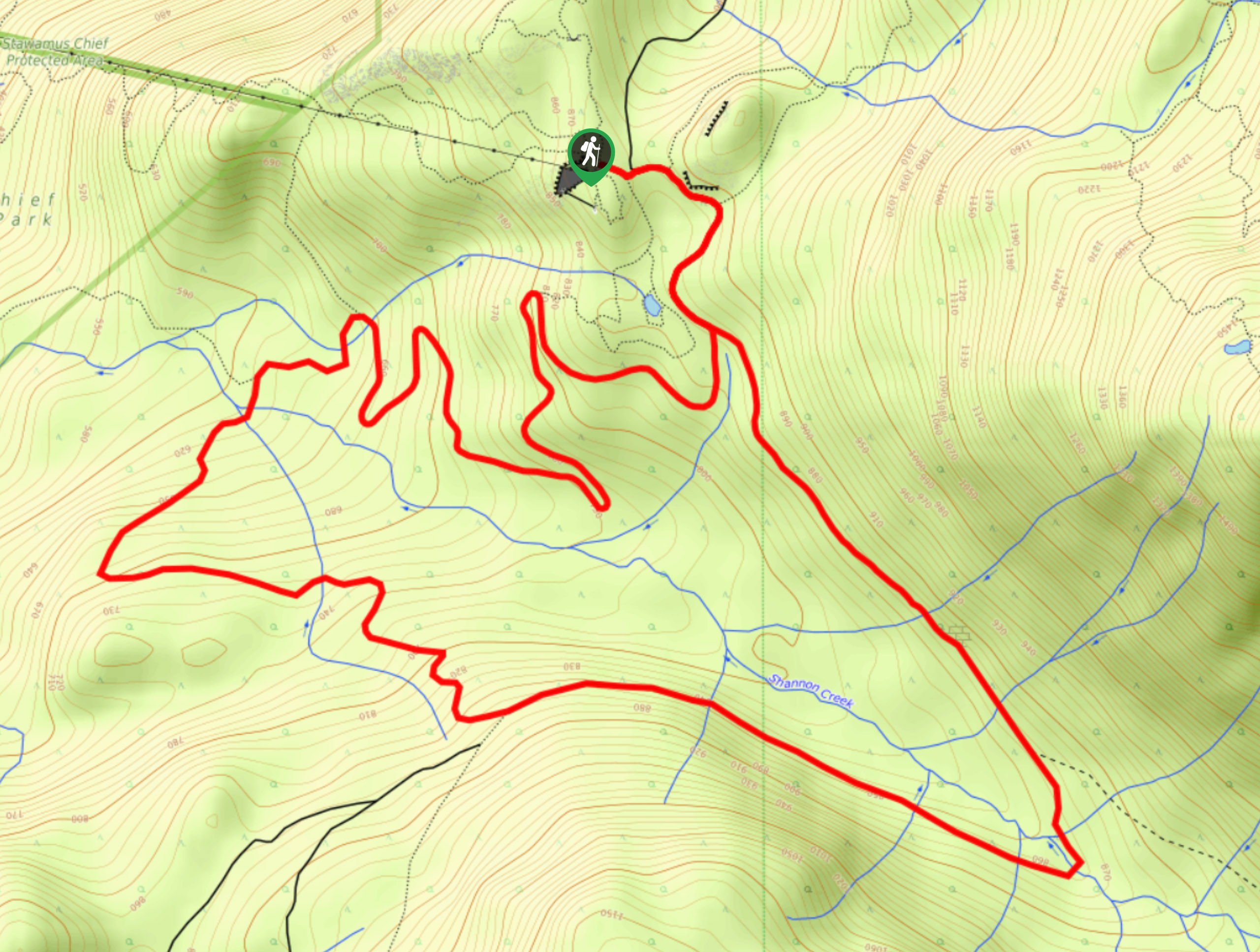
Shannon Basin Loop
The Shannon Basin Loop is a 5.9mi lollipop trail near Squamish, BC, that sets out from the top…
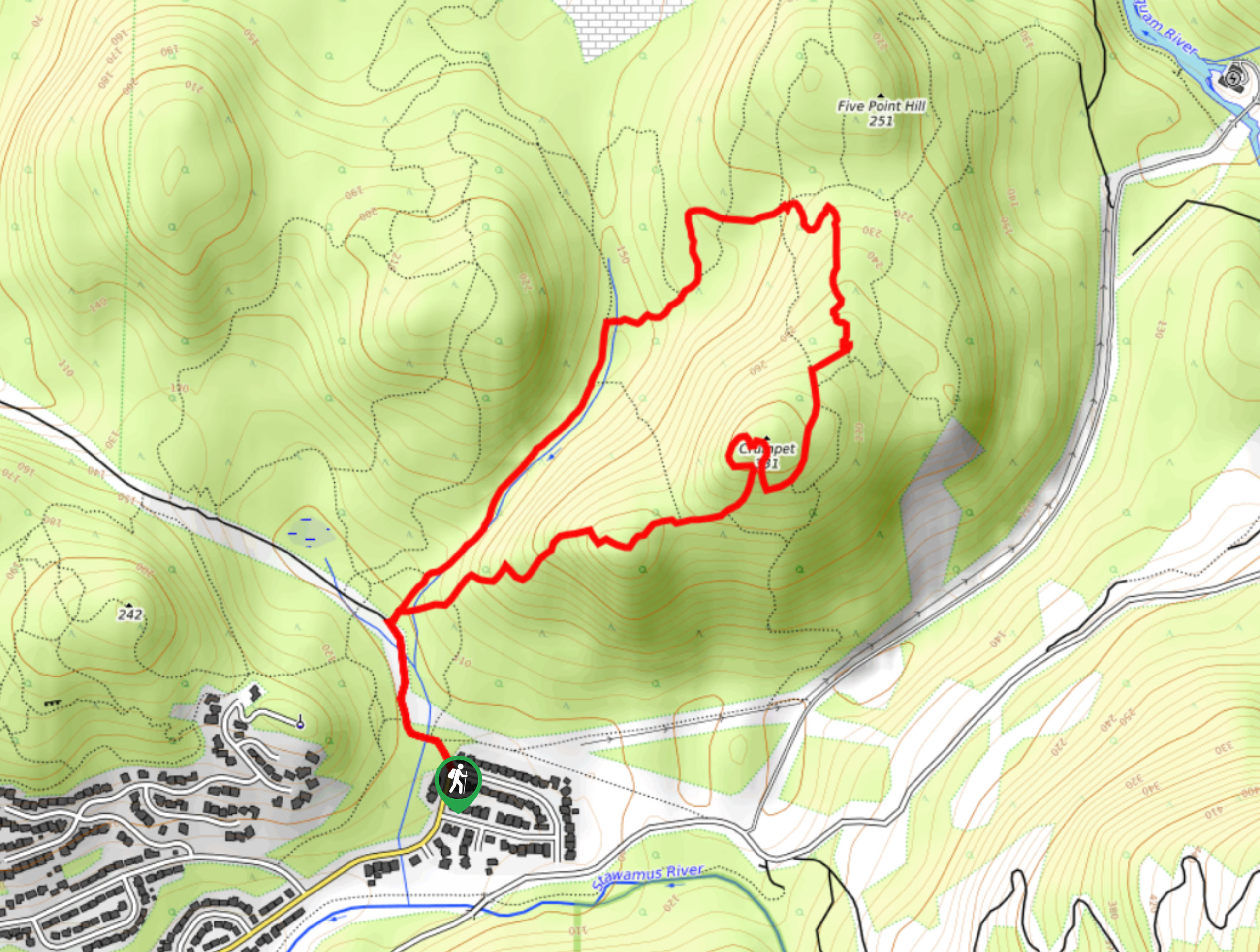
Mount Crumpit Trail
If you are into short hikes that will get your heart pumping and also have amazing mountain views, then the…
Gino R. 4 years ago
This is a good workout hike if you are looking for a challenging but not too difficult hike. There are also several viewpoints on the way up, and several rest stops. Overall, the views it offers was exceptional.
Stella Winster 4 years ago
Hard incline from the start, but gets easier afterward. The trail was in good condition with few muddy spots.
Emma Stanley 4 years ago
amazing reward at the end of the hike. the first half is steep and challenging with some slippery and muddy portions, but the next half is pretty flat. you walk through nice waterfalls and can enjoy a breathtaking view on the top.
Niamh Gorget 5 years ago
Awesome trail. Great area for sundowner picnic! Wear good shoes, bring water and maybe some snacks, some parts can be slippery and the trail is very rocky. Views are very nice. Would recommend going a bit earlier.
Allison Bailler 5 years ago
There are few things I like about this hike. It only takes about 3-4 hours to hike to the top. It is difficult and steep but ultimately rewarding!