Brohm Lake Interpretive Forest Loop
View Photos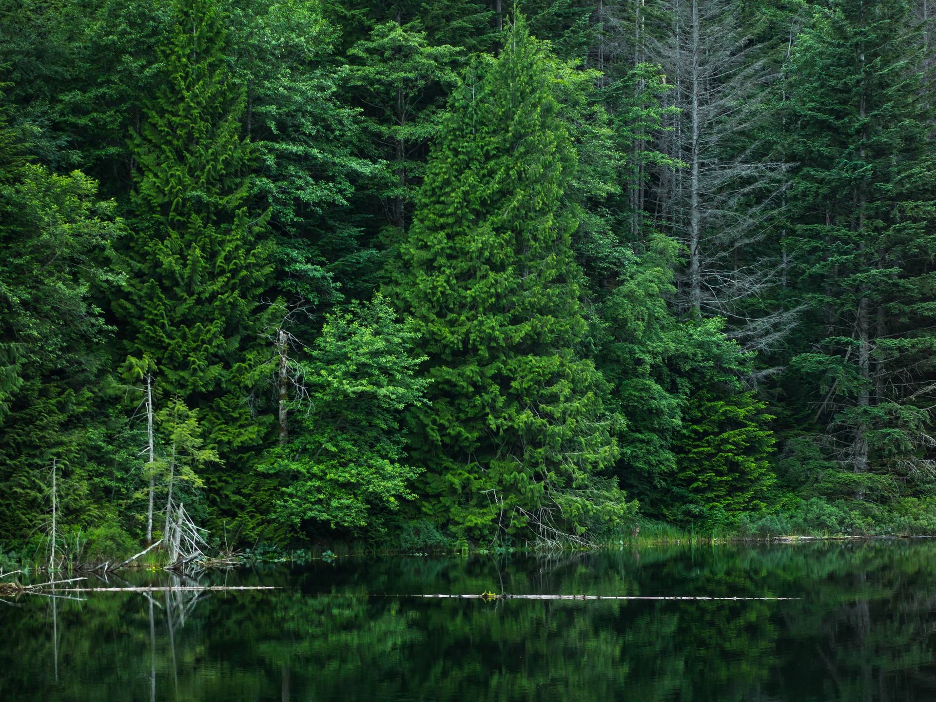
Brohm Lake Interpretive Forest Loop
Difficulty Rating:
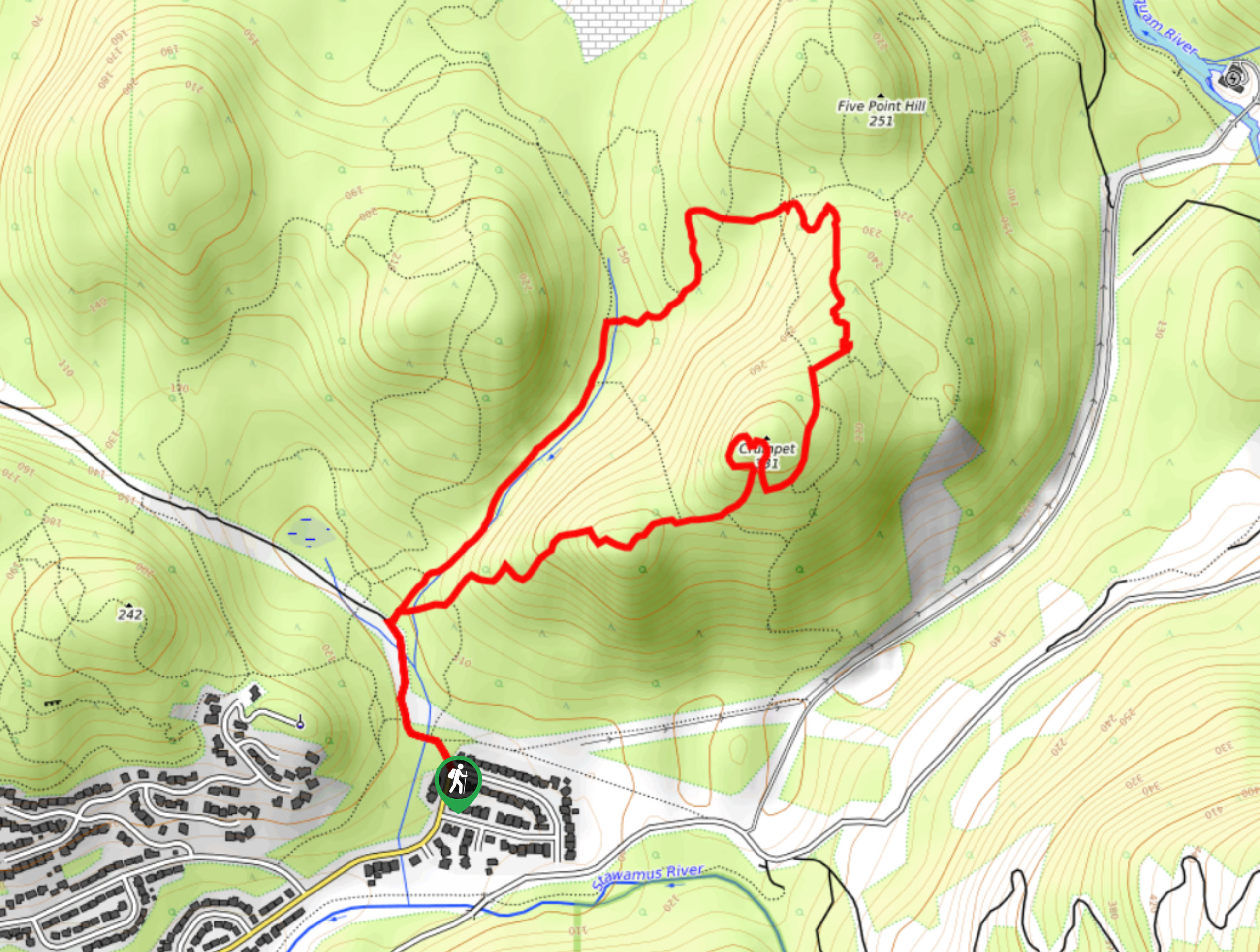
The Brohm Lake Interpretive Forest Loop is a scenic trail through the woodlands north of Squamish that allows hikers to explore the area around the lake and visit several viewpoints overlooking the Tantalus Mountain Range. This 5.3mi trail skirts around the northern half of the lake before turning south on a course that runs through the dense forest cover of the Brohm Lake Interpretive Forest. With some moderate changes in elevation and variations in terrain, this route is a great option to explore the amazing trails around Squamish with the added bonus of being able to cap your day off with a refreshing swim.
Getting there
To reach the parking area for the Brohm Lake Interpretive Forest Loop from the Sea to Sky Gondola in Squamish, drive north on BC-99 N for 11.1mi, where you will see Brohm Lake on your left. At the first road, make a left turn to access the parking area at the trailhead.

About
| When to do | April-October |
| Backcountry Campsites | Paradise Valley Campground |
| Pets allowed | Yes |
| Family friendly | Older Children only |
| Route Signage | Average |
| Crowd Levels | Moderate |
| Route Type | Circuit |
Brohm Lake Interpretive Forest Loop
Elevation Graph
Weather
Brohm Lake Interpretive Forest Loop Trail Description
The Brohm Lake Interpretive Forest Loop travels through the dense forests north of Squamish along a fairly easy-going trail that contains stretches of rocky terrain and stairs. These technical portions of the trail can become slippery/muddy during wetter weather, so it is recommended to wear proper hiking footwear in order to safely navigate the trail. Additionally, some sections of the trail are overgrown, making it slightly more difficult to follow along the trail signs. Hikers looking to utilize this route should make sure to bring a GPS or a trail map in order to stay on the correct course.
This hike is an amazing outing due to the variation in terrain and the beautiful woodland scenery. Largely following a route that skirts around Brohm Lake, the trail visits several vantage points overlooking the majestic Tantalus Mountain Range before meandering through the peaceful pathways of the Brohm Lake Interpretive Forest. The trail then turns north to meet up with the Sea to Sky Highway, following alongside it on a journey through a wetland area on the way to the starting point of the hike. While the route certainly is a scenic and entertaining walk through the woodlands, one of its best features just might be Brohm Lake itself, which offers the opportunity to cool off after your hike with a swim in its refreshing water. With access to a strong network of trails and a vast recreation area, the Brohm Lake Interpretive Forest Loop is the ideal way to spend a day in the wilderness near Squamish.
Setting out from the parking area next to the lake, pick up the trail to the west as it leads into the forest toward several outhouses. Just before you reach the outhouses, make a quick left to begin an uphill climb along the Brohm Lake Trail. Continue on this course as you make your way through the forest and traverse a set of wooden steps. After 2133ft, you will arrive at a junction with the Powerline Trail. This route is overgrown and difficult to navigate, so turn left at the fork to continue the loop around the north shore of the lake.
Skirting around the marshy area at the north end of the lake, continue along the trail until you cross over Brohm Creek and arrive at a junction in the trail. Go left here, and you will quickly reach another junction with the Thompson Trail. Keep left to continue your route around the lake, as the trail leads you south along its western shore.
In approximately 2953ft, you will arrive at another junction that splits off to the right. Follow this trail as it begins to climb steeply uphill through the forest until you get to a fork. Follow this right and you will very quickly come upon another trail branching off to the right. Take this path to go on a short detour that leads up to a slightly overgrown viewpoint over the magnificent Tantalus Mountains to the west. After taking in the sights, head back down the path to meet up with the main trail, following it to the right.
From here, work along the path as it follows the creek before veering south on a route through the Brohm Lake Interpretive Forest. When the trail meets up with an old gravel logging road, turn right to stay on the hiking path known as the Cheakamus Loop Trail. This route passes through a serene section of the forest and contains three different viewpoints that present beautifully scenic views overlooking the Tantalus Range and the Squamish Valley. After you have enjoyed the third vantage point, follow the trail downhill as it heads east and meets back up with the gravel logging road.
When you meet up with the road, cross directly over it to continue on the High Trail. This portion of the route is overgrown, so keep an eye out for trail signs. Eventually you will arrive at a three-way junction in the trail. Follow the path to the right, which will have you come to another fork in the trail. Take this one to the left in order to set out on the final leg of the journey back to the trailhead.
As you work your way through this last stretch of forest, you will arrive once again at the edge of the lake. Make your way over the wooden bridge to cross over the water and complete the last stretch of the trail, as it leads through a marshy area next to the Sea to Sky Highway. When you have arrived back at the trailhead, spend some time exploring the recreation area and head down to Brohm Lake for a well-deserved swim in its refreshing water.
Hiking Route Highlights
Tantalus Mountain Range
The name of this mountain range is rooted in Greek mythology, with Tantalus being doomed to the fate of being “tantalized” by a piece of fruit that was eternally dangled out of reach, while constantly remaining half-submerged in water. It is said that a local climber across the Squamish River was similarly tantalized when they saw the spires and icefalls located along the range, thus giving the collection of mountains its name. The Tantalus range is known as Tsewlíx to the local Squamish people that have inhabited the area for thousands of years.
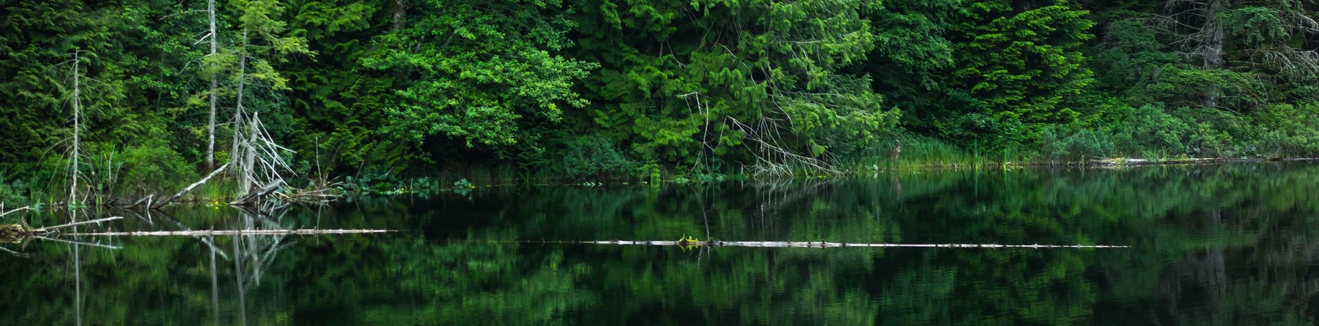
Brohm Lake
Located 9.3mi north of Squamish, the Brohm Lake Recreation Area is a popular summertime destination for locals and visitors alike. Commonly used as a swimming hole to escape the summer heat, the area around the lake is also home to a decent network of trails that allow hikers to explore the lake, as well as the Brohm Lake Interpretive Forest.
Frequently Asked Questions
Is Brohm Lake dog friendly?
Brohm Lake is an intermediate hike with several steep and rocky sections of trail. Even with these technical parts of the route, it is a dog friendly trail that your furry friend will love exploring.
Insider Hints
Arrive early to secure parking and beat the crowds.
It’s best to wear decent hiking footwear, as there are stairs and rocky sections that can be slippery when wet.
As with most BC hiking trails, bring bear spray to avoid a dangerous encounter.
Similar hikes to the Brohm Lake Interpretive Forest Loop hike
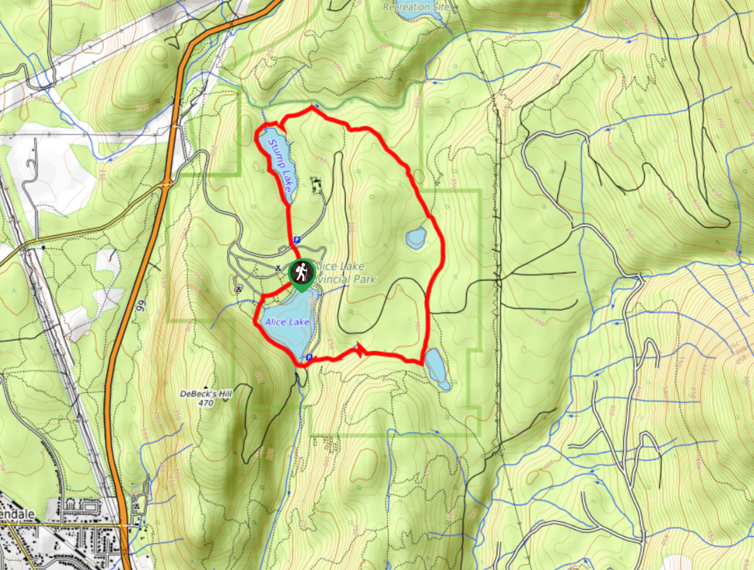
Four Lakes Trail
The Four Lakes Trail is a 4.5mi hiking route that travels through Alice Lake Provincial Park on a…
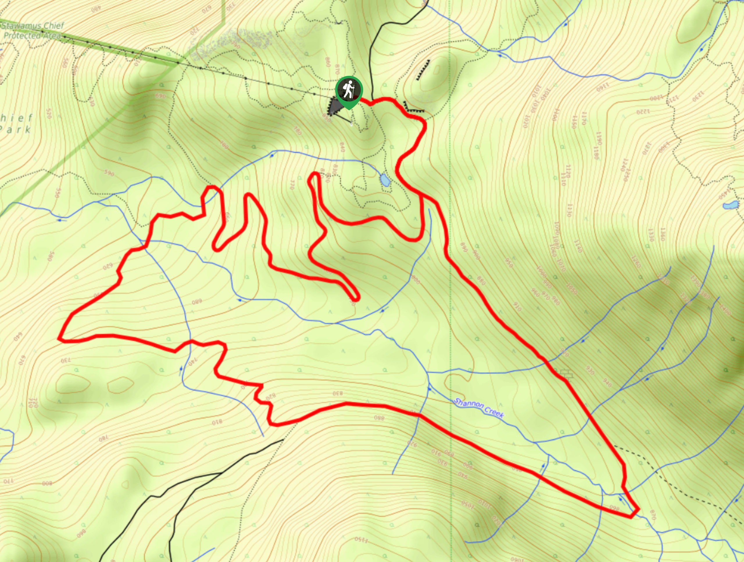
Shannon Basin Loop
The Shannon Basin Loop is a 5.9mi lollipop trail near Squamish, BC, that sets out from the top…
Mount Crumpit Trail
If you are into short hikes that will get your heart pumping and also have amazing mountain views, then the…
Comments