
Pa'san Ridge Trail
View Photos
Pa'san Ridge Trail
Difficulty Rating:
The Pa’san Ridge Trail is an excellent way to experience the San Joaquin River. Adventure through the meadow filled terrain and down into the valley of the boulder-lined river whilst admiring breathtaking views of the encompassing Sierra Nevada Mountains—what more could you ask for?
Getting there
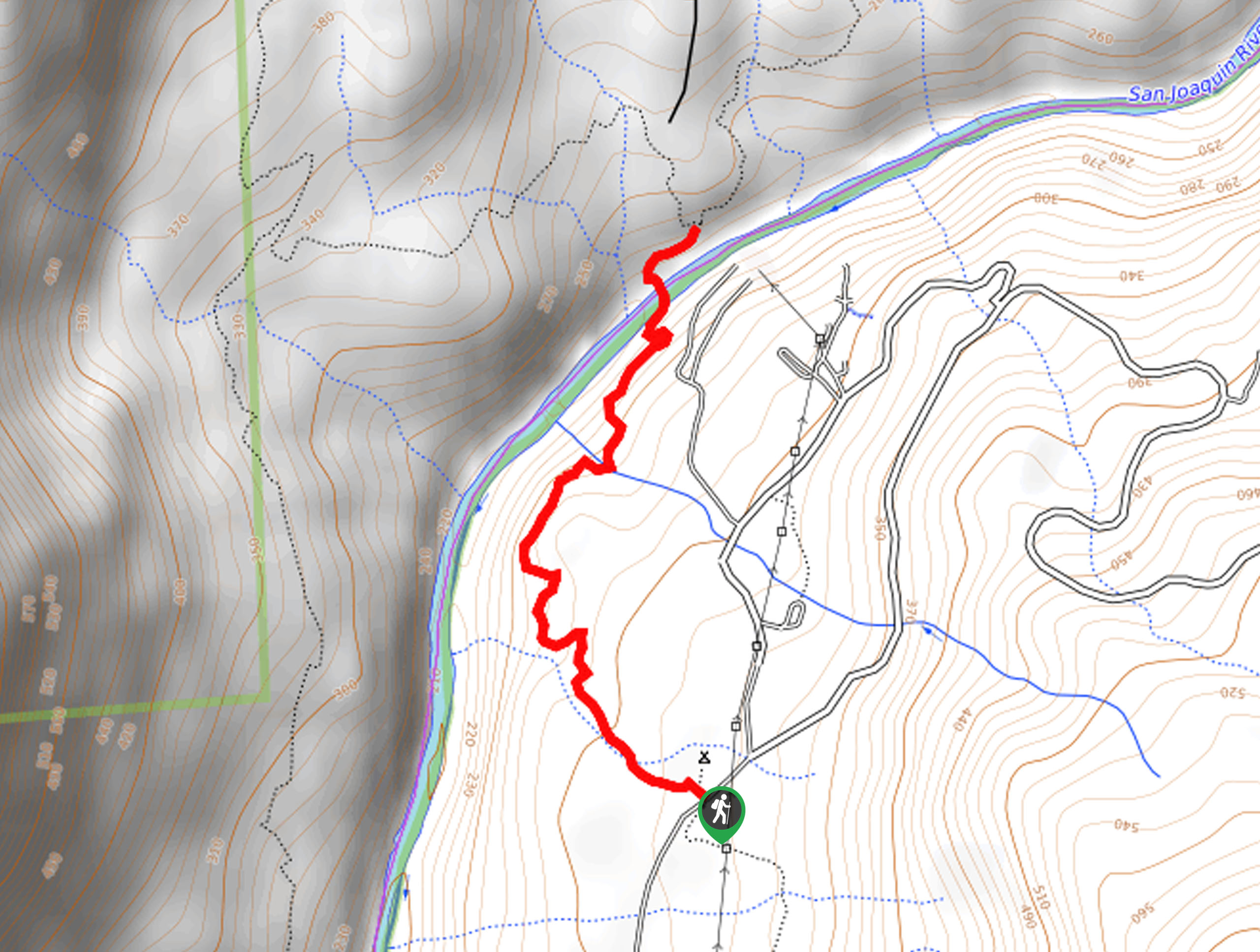
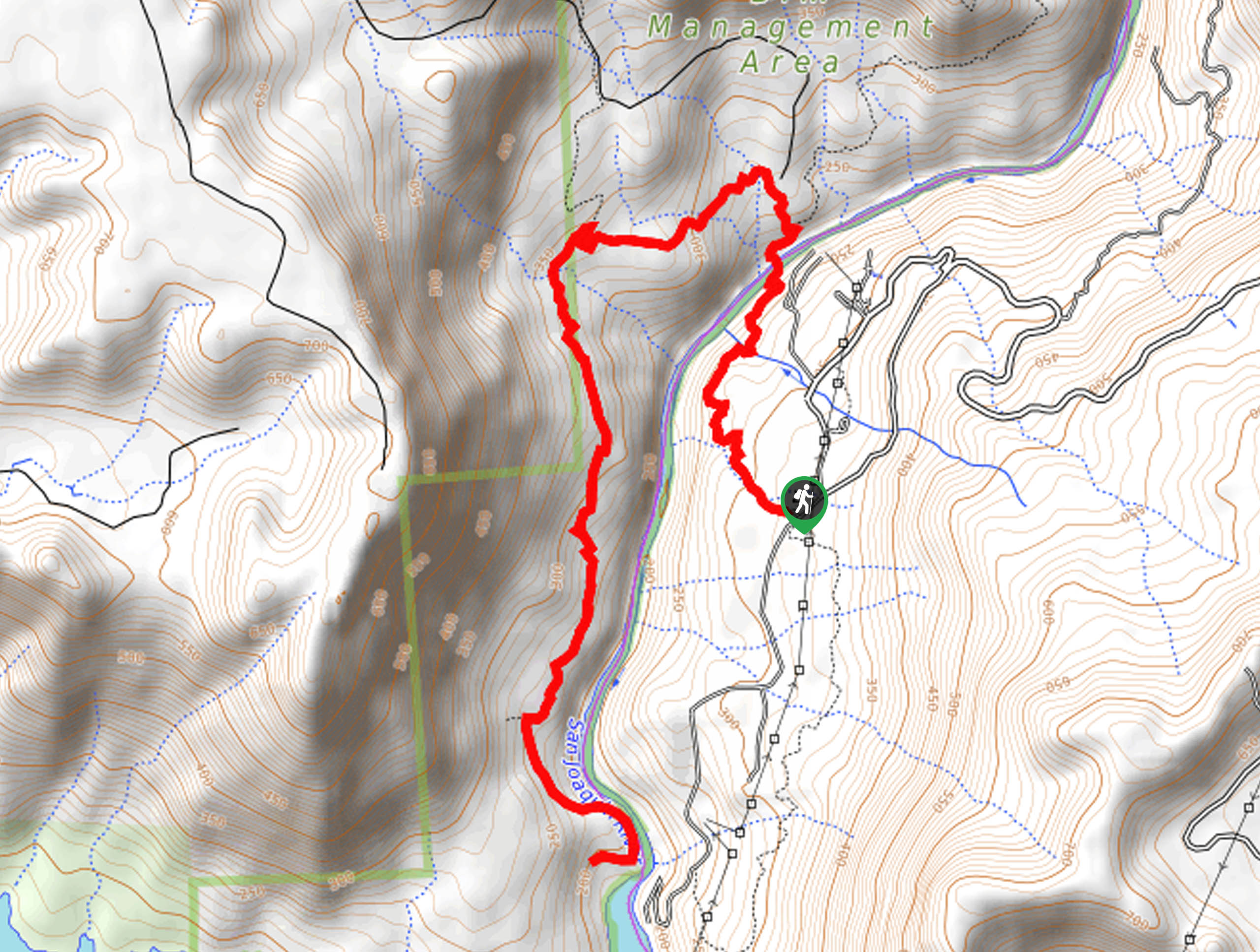
The Pa’san Ridge Trail departs from the trailhead at the Yeh-Gub-Weh-Tuh Campground off Smalley Road.

About
| Backcountry Campground | |
| When to do | Year-round |
| Pets allowed | Yes - On Leash |
| Family friendly | Yes |
| Route Signage | Average |
| Crowd Levels | High |
| Route Type | Out and back |
Pa'san Ridge Trail
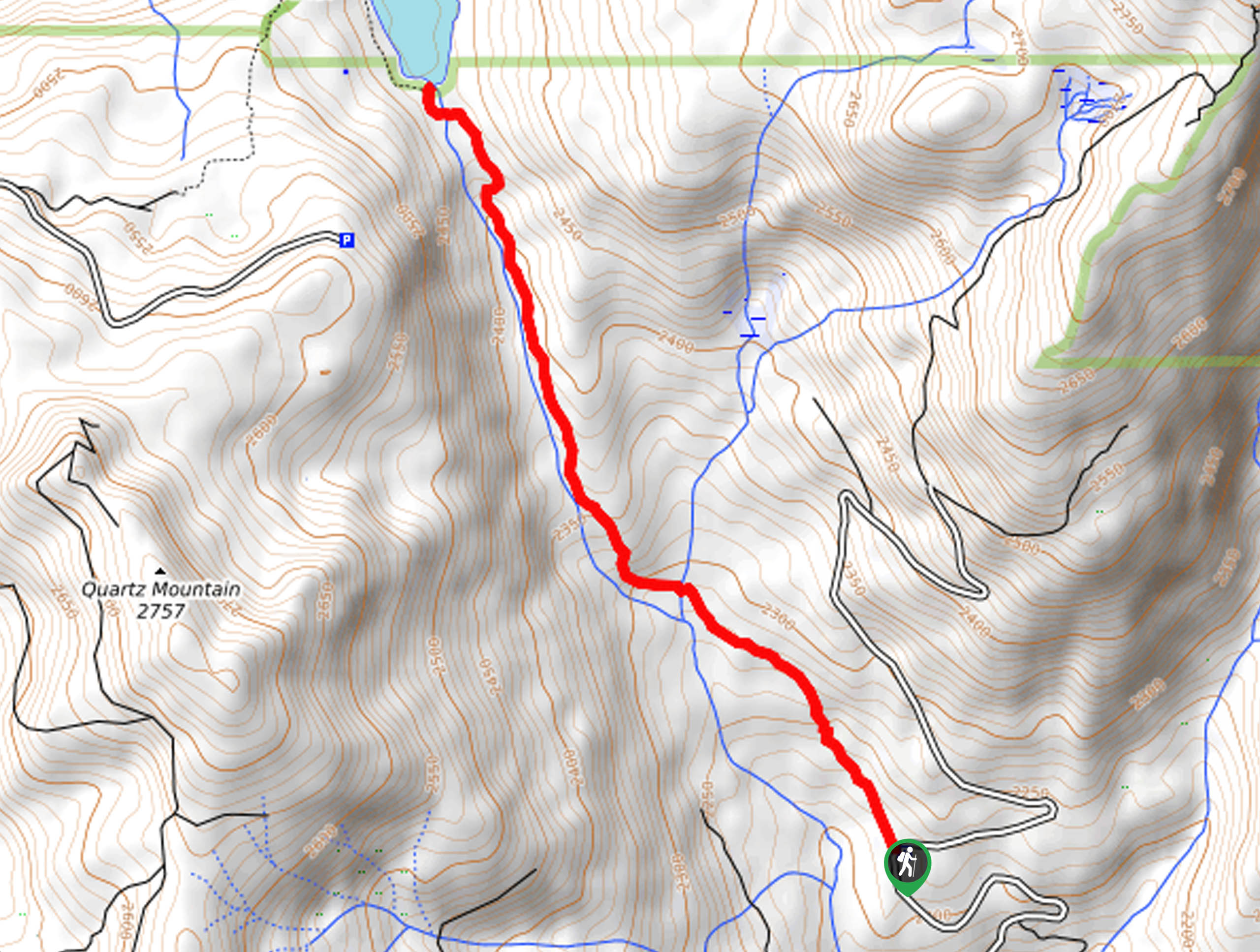
Elevation Graph
Weather
Pa'san Ridge Trail Description
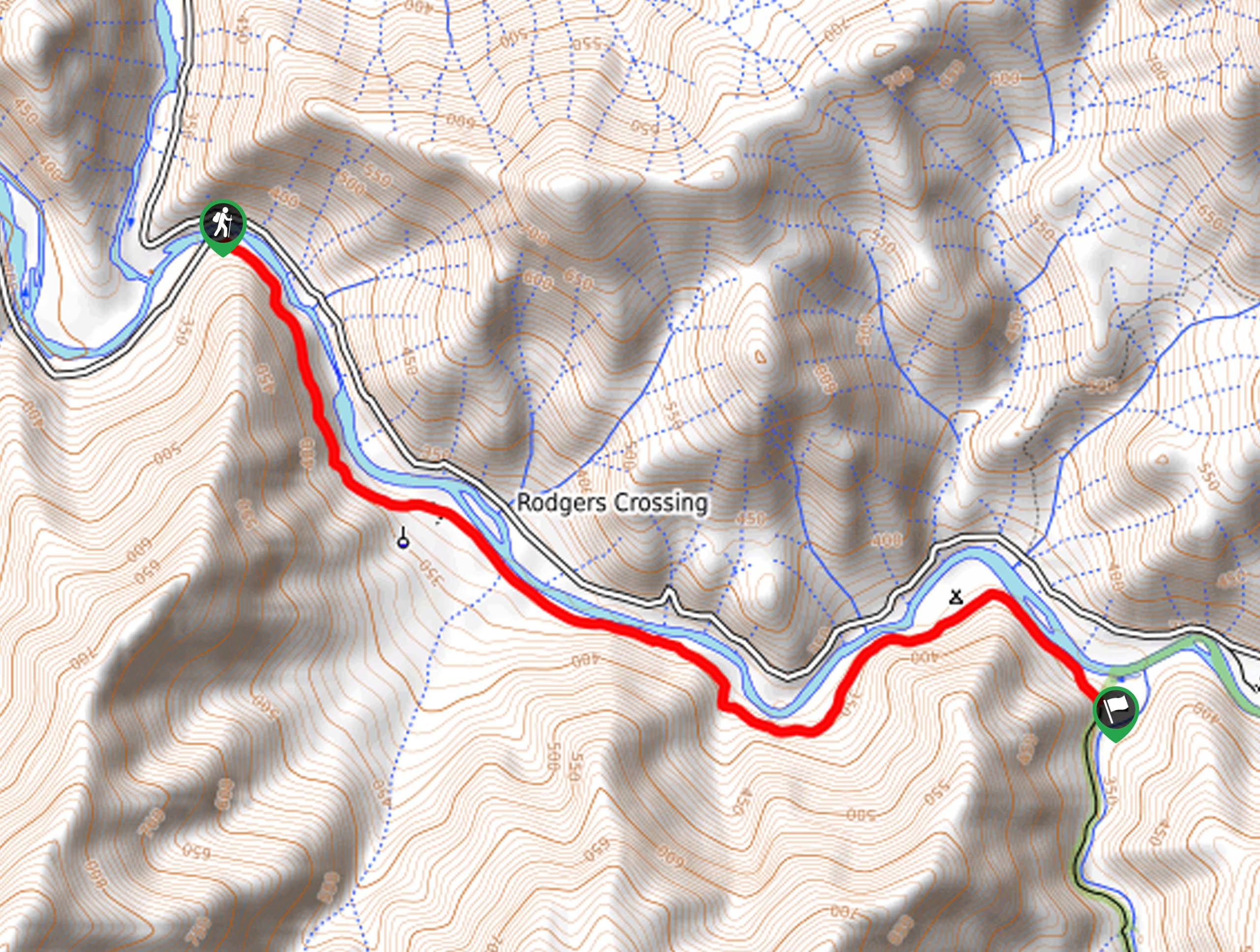
The Pa’san Ridge Trail is an amazingly scenic adventure that the whole family can enjoy. Hike through lush meadowlands and down into the river valley. Here, the San Joaquin River is lined by granite outcrops that boast a beautiful scene of the crystal-clear waters. Hike along the riverbanks and over the bridge, exposing epic views down the corridor and bounding mountains. This versatile trail is also shared with horseback riders, so be mindful of passers-by! Note there is a fee to pay at the trailhead, which typically costs around $5USD.
Your journey along the Pa’san Ridge Trail begins from the trailhead off Smalley Road. From here, the Pa’san Ridge Trail begins to gradually descend, guiding you over a snowmelt stream and through meadowlands. Weaving between brush and grassy meadowlands, you will eventually near the banks of the San Joaquin River. Revel in the beauty of the gurgling waters and continue trekking down to the bridge. You will be granted wonderful views of the river valley from the bridge before crossing over to an overlook of the Kerckhoff Power Station.
Though the Pa’san Ridge Trail continues, this is the point where we turned around. To get back to the trailhead, head back simply retrace your footing along the path back to the trailhead.
Similar hikes to the Pa'san Ridge Trail hike
Chiquito Pass Trail
The Chiquito Pass Trail is arguably one of the most scenic adventures in the Sierra National Forest. Wander up through…
Wuh-Ki'o Trail
The Wuh-Ki'o Trail is an unassumingly picturesque adventure in the Sierra National Forest. Traveling through meadowlands, brush, over bridges, and…
Davis Flat Trail
Experience the grandeur of the Sierra Nevada Mountains as you hike through the Kings River Valley, bounded by rolling hills.…
Comments