
Trinity Lakeshore Trail
View Photos
Trinity Lakeshore Trail
Difficulty Rating:
The Trinity Lakeshore Trail offers incredible views of the shimmering lake and the majestic mountains of the Trinity Alps. A shared route with bikers, this awesome trail caters to adventurers of all types, ages and skill levels. Make sure to add this hike to your Shasta-Trinity itinerary!
Getting there
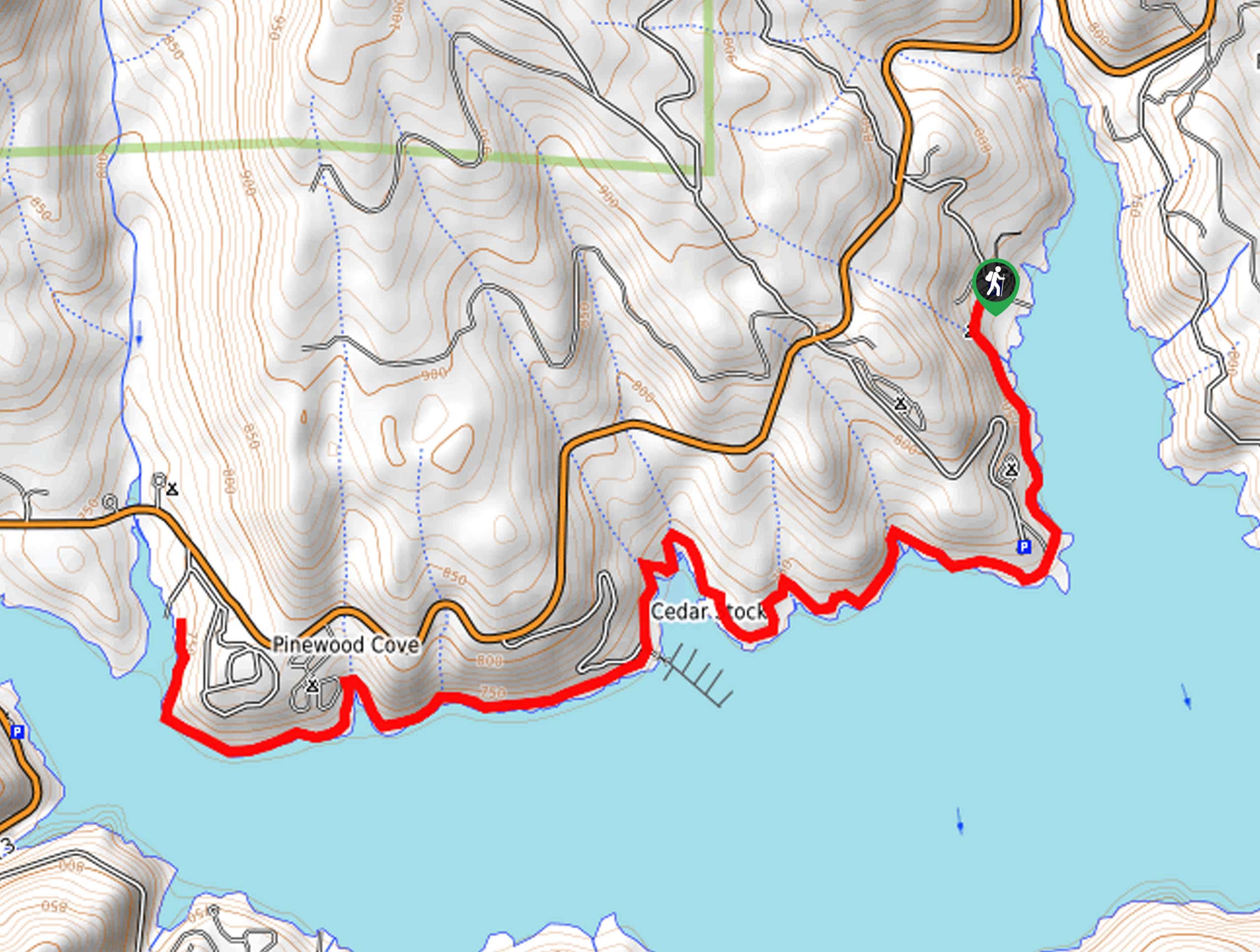
Access this hike via the trailhead at the end of Rainier Road in the Clark Springs Campground.

About
| Backcountry Campground | |
| When to do | Year-round |
| Pets allowed | Yes - On Leash |
| Family friendly | Yes |
| Route Signage | Poor |
| Crowd Levels | Moderate |
| Route Type | Out and back |
Trinity Lakeshore Trail
Elevation Graph
Weather
Trinity Lakeshore Trail Description
Leading hikers through mixed forestlands, along the shoreline cliffs, and through meadowlands, there is no shortage of scenery to indulge in along this excursion. This route undulates along the shoreline of Trinity Lake, demanding a few steep ascents, but hikers of most skill levels and ages should be able to manage. Additionally, as this route is shared with bikers, it is important to be mindful of passers-by! Note the path is not well signposted in sections, so consider using the trail GPS.
Setting out from the trailhead in the Clark Springs Campground, the Trinity Lakeshore Trail wanders southeast along the water. Enjoy the scene of the shimmering lake as you hike along the undulating route. Passing a boat launch, the path will weave between woodlands and exposed terrain, offering distant views of the Trinity Alps. Hugging the curves of the shore, you will pass a dock and intersect with streams before reaching the trail’s end at Stoney Creek.
At this point, turn around and retrace your footing along the path back to the trailhead, marking the end of your adventure.
Similar hikes to the Trinity Lakeshore Trail hike

East Weaver Lake Trail
The East Weaver Lake Trail is a wonderful adventure on the boundary of the Trinity Alps Wilderness that features amazing…

Bluff Lake via PCT
The Bluff Lake via PCT is a secluded adventure in the Shasta-Trinity National Forest that offers wonderful scenery and makes…
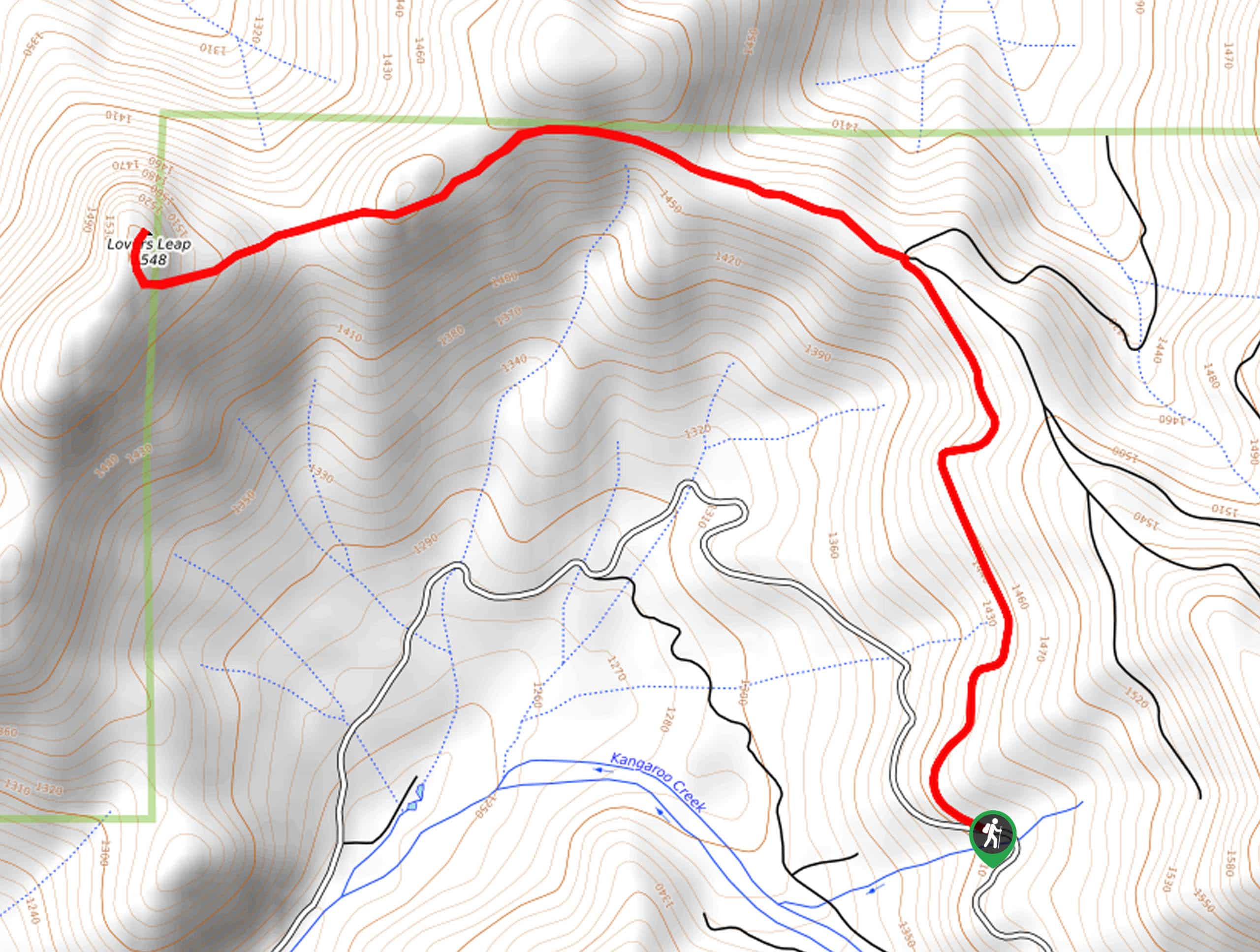
Lover’s Leap Hike
The Lover’s Leap Hike is an awesome adventure up to the summit of a granite bluff overlooking the Cascade Range…
Comments