Black Butte Trail
View Photos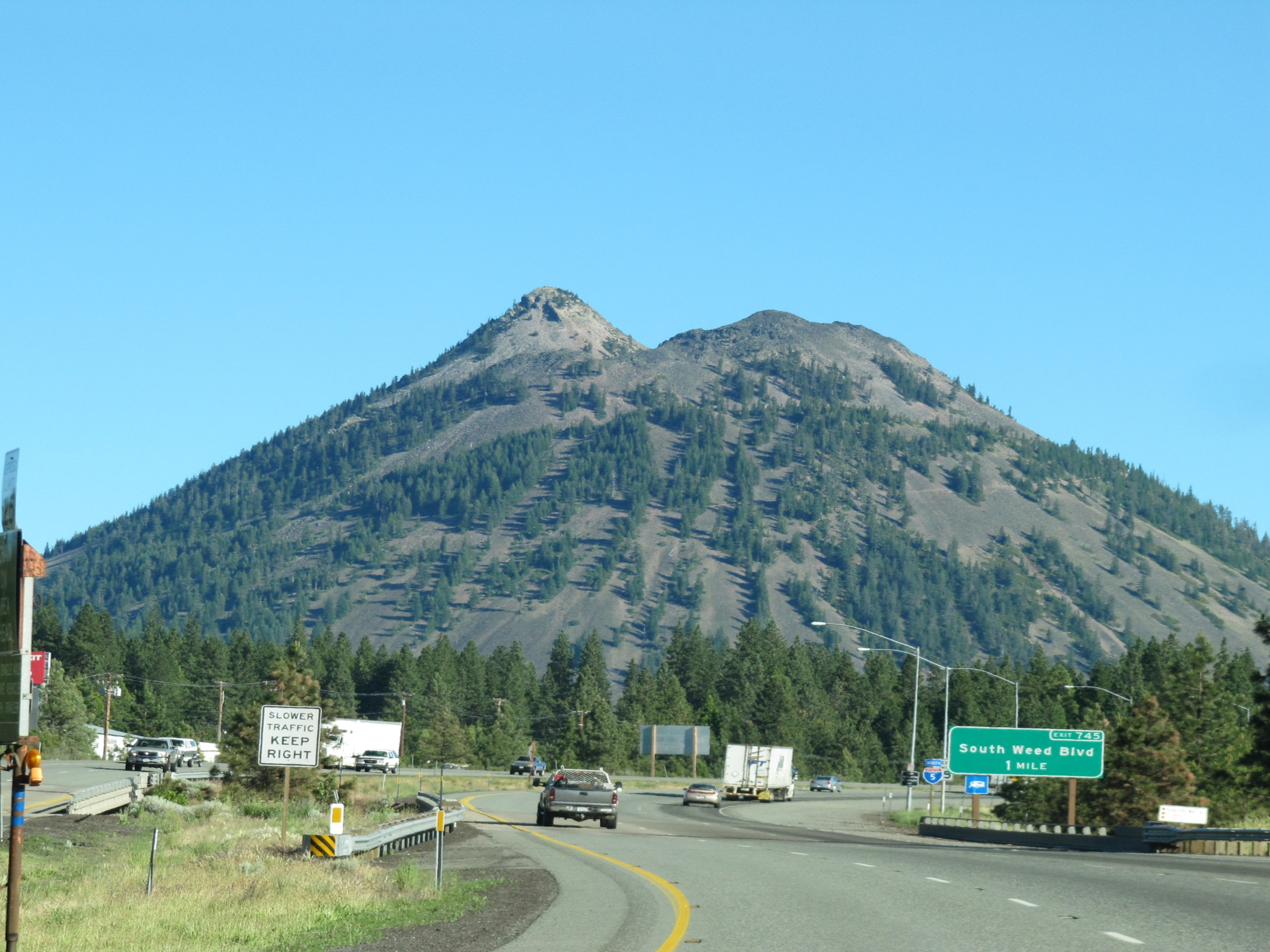
Black Butte Trail
Difficulty Rating:
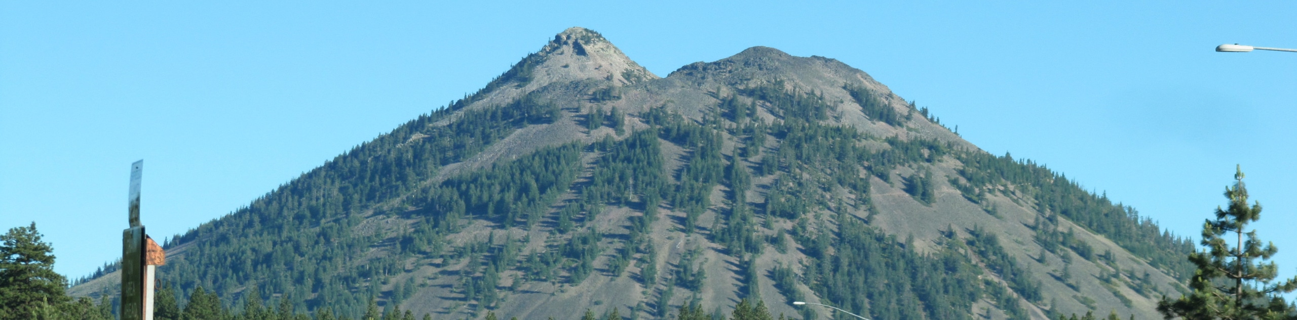
Though demanding, the Black Butte Trail is an amazing adventure in the Shasta National Forest. After tackling the technical terrain, you will be granted breathtaking vistas of Mount Shasta dominating the skyline. This trek is well-worth the sweat—trust us.
Getting there
The Black Butte Trail departs from the trailhead off Forest Route 41N18.

About
| Backcountry Campground | No |
| When to do | Year-round |
| Pets allowed | Yes - On Leash |
| Family friendly | No |
| Route Signage | Average |
| Crowd Levels | High |
| Route Type | Out and back |
Black Butte Trail
Elevation Graph
Weather
Black Butte Trail Description
The Black Butte Trail is a well-revered adventure near Mount Shasta that offers unparalleled vistas of the volcano in the Cascade Range. This route is conveniently located near the city and impressively scenic, and attracts thousands of visitors yearly. However, the trails’ conditions have deteriorated due to overuse and poor upkeep. Maintain along the marked terrain and mind your footing as you navigate the rocky terrain. Note this path requires some scrambling over scree, so wear ankle bracing footwear and consider leaving your pup at home as the terrain may hurt their paws! When hiking in the winter months, the terrain is often icy, so consider bringing microspikes.
Embark on your adventure along the Black Butte Trail from the parking lot and trailhead off Forest Route 41N18. Note you can continue to the true trailhead if you have a high ground clearance vehicle with 4-wheel drive. If not, walk southwest along the off-roading route. Soon after your departure, you will merge onto the Black Butte Trail, climbing up the butte. Mind your footing on the rocky terrain as you navigate the winding path. As you ascend the mountain, the switchbacks will become more tightly wound, and the terrain will become more technical.
After tackling the vertiginous terrain, you will ultimately top the butte. From the peak, you will be granted impressive views of the snow-capped summit of Mount Shasta. Marvel in the grandeur of the volcano in the northeast, and when you are ready, carefully retrace your footing back down the route to the trailhead.
Similar hikes to the Black Butte Trail hike

East Weaver Lake Trail
The East Weaver Lake Trail is a wonderful adventure on the boundary of the Trinity Alps Wilderness that features amazing…

Bluff Lake via PCT
The Bluff Lake via PCT is a secluded adventure in the Shasta-Trinity National Forest that offers wonderful scenery and makes…
Lover’s Leap Hike
The Lover’s Leap Hike is an awesome adventure up to the summit of a granite bluff overlooking the Cascade Range…
Comments