Gray Butte Trail
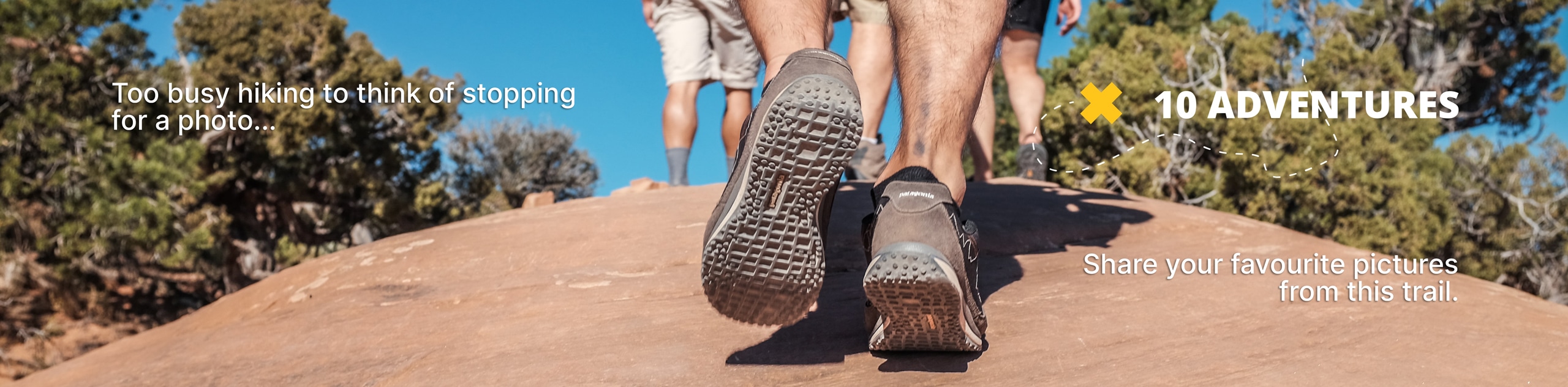
View Photos
Gray Butte Trail
Difficulty Rating:
The Gray Butte Trail is an easy-going adventure on the outskirts of Mount Shasta that the whole family can enjoy. Indulge in unrivaled vistas of the Klamath Mountains and Mount Shasta looming above without having to over-exhaust yourself—what more could you ask for?
Getting there
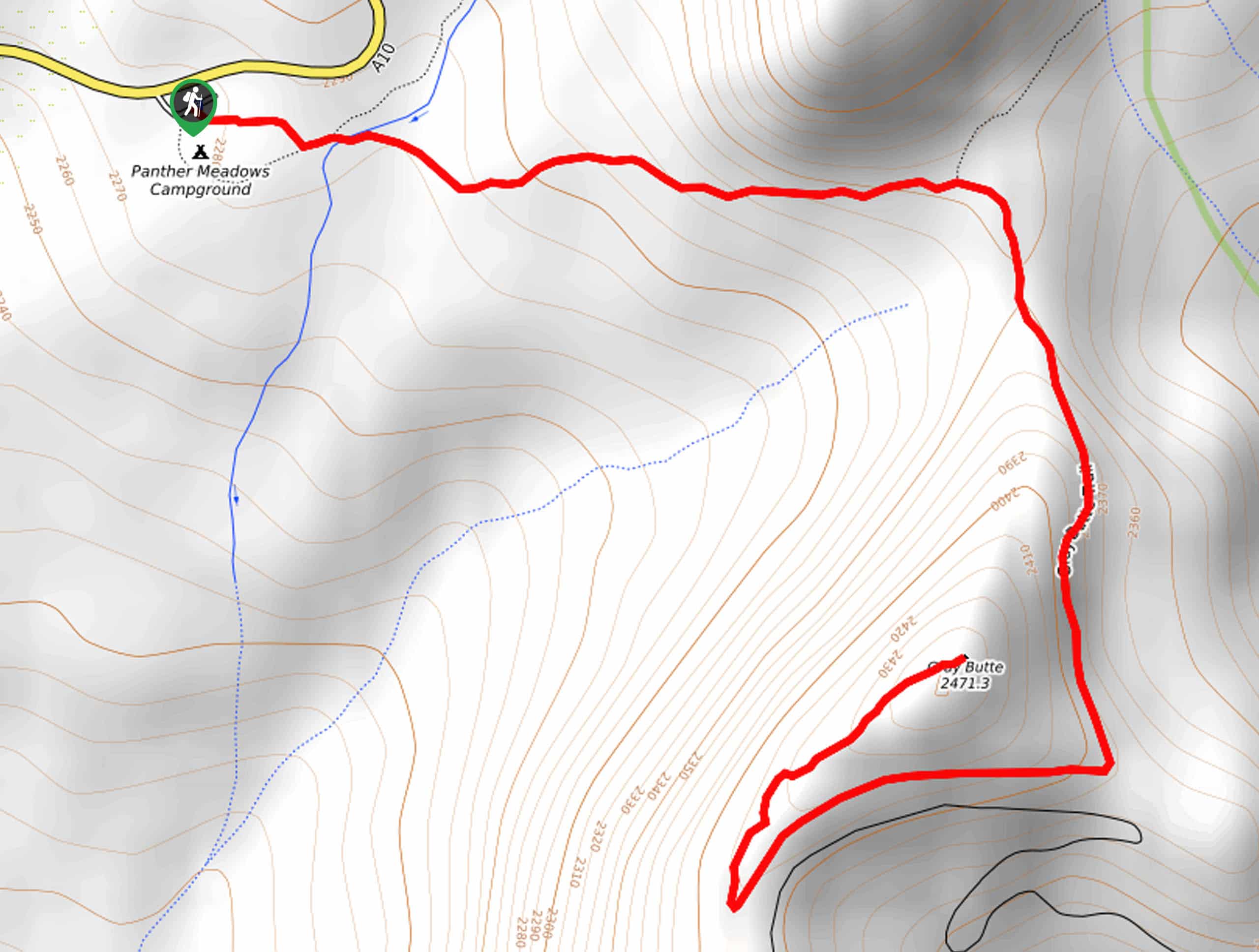
Trailhead access is found off Everitt Memorial Highway in the Panther Creek Campground.

About
| Backcountry Campground | |
| When to do | Year-round |
| Pets allowed | Yes - On Leash |
| Family friendly | Yes |
| Route Signage | Average |
| Crowd Levels | High |
| Route Type | Out and back |
Gray Butte Trail
Elevation Graph
Weather
Gray Butte Trail Description
The Gray Butte Trail is a must-add to your hiking itinerary—trust us! Though not an overly secluded adventure, the views this route rewards are well worth having to share. Travel up to the summit of Gray Butte and indulge in 360-degree, panoramic views of the mountainous landscape. Note the path rocky and uneven, so be sure to wear a pair of sturdy footwear. Don’t forget to charge your camera! Note the road to the trailhead is subject to seasonal closure, but the trail remains open year-round.
Setting out from the trailhead, the Gray Butte Trail east over Panther Springs and up the northern slope of the butte. As you climb, you will meander through the stands of towering conifers and montane meadows. Minding your footing on the uneven terrain, the path will eventually reroute you south and up a switchback to the summit of Gray Butte.
From atop the peak, you will be dumbfounded by the panoramic views. Enjoy the amazing scenery, and when you are ready, retrace your footing back down the terrain to the trailhead—marking the end of your adventure.
Similar hikes to the Gray Butte Trail hike

East Weaver Lake Trail
The East Weaver Lake Trail is a wonderful adventure on the boundary of the Trinity Alps Wilderness that features amazing…
Elsa Rupp Nature Trail
The Elsa Rupp Nature Trail is a wonderful escape from the hustle and bustle of the city. Reconnect with nature…

Bluff Lake via PCT
The Bluff Lake via PCT is a secluded adventure in the Shasta-Trinity National Forest that offers wonderful scenery and makes…
Comments