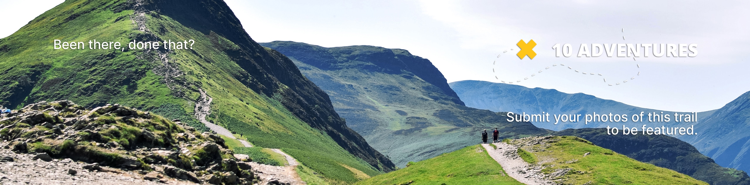
East Weaver Creek Hike
View Photos
East Weaver Creek Hike
Difficulty Rating:
Let the pleasant sounds of the gurgling waters lull you into a state of relaxation as you venture the East Weaver Creek Hike. This primitive backcountry adventure travels along the alpine stream through mixed-coniferous woodlands, boasting a tranquil experience in the Shasta-Trinity National Forest.
Getting there
The East Weaver Creek Hike is accessed via the Easter Weaver Creek Road.

About
| Backcountry Campground | |
| When to do | Year-round |
| Pets allowed | Yes - On Leash |
| Family friendly | Older Children only |
| Route Signage | Poor |
| Crowd Levels | Moderate |
| Route Type | Out and back |
East Weaver Creek Hike
Elevation Graph
Weather
East Weaver Creek Hike Description
The East Weaver Creek Hike boasts an unrivaled experience in the National Forest, affording anyone a good time. Wander along the beautiful creek adorned with charming cascades through the mixed forestlands. In the summer months, this route is very buggy, so make sure to bring some bug spray! When heading out after snowfall a pair of microspikes or snowshoes are necessary! Note that the path is primitive and poorly signposted in areas, so be sure to download the trail GPS before heading out!
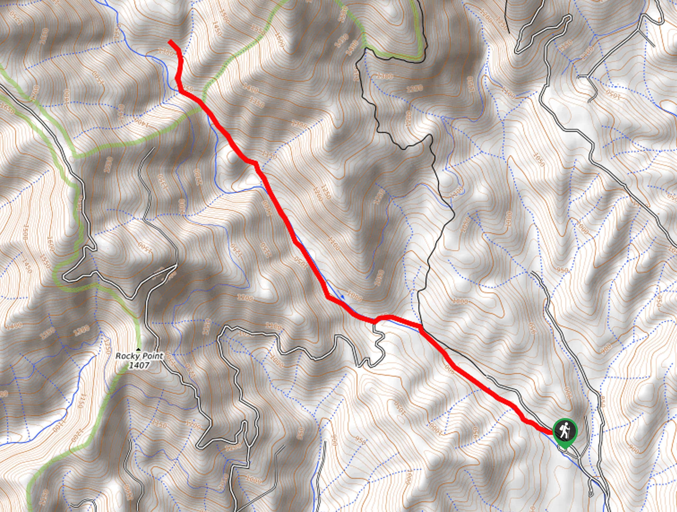
Embark on your adventure into the backcountry along the East Weaver Creek Hike from the trailhead and parking lot. Setting out from here, you will be guided northwest along the curves of the creek.
Gradually climbing into the forestlands, you will have to navigate the odd stream crossing—but most have boulders perfect for hopping so your feet won’t get wet! You will eventually reach an intersection and maintain northwest along the East Weaver Creek Trail with the help of the trail GPS.
The further you climb, the more intense the incline will become—take your time and mind your footing on the rocky terrain. When you ultimately reach the trail’s end, simply turn around head back the way you came!
Similar hikes to the East Weaver Creek Hike hike

East Weaver Lake Trail
The East Weaver Lake Trail is a wonderful adventure on the boundary of the Trinity Alps Wilderness that features amazing…

Bluff Lake via PCT
The Bluff Lake via PCT is a secluded adventure in the Shasta-Trinity National Forest that offers wonderful scenery and makes…
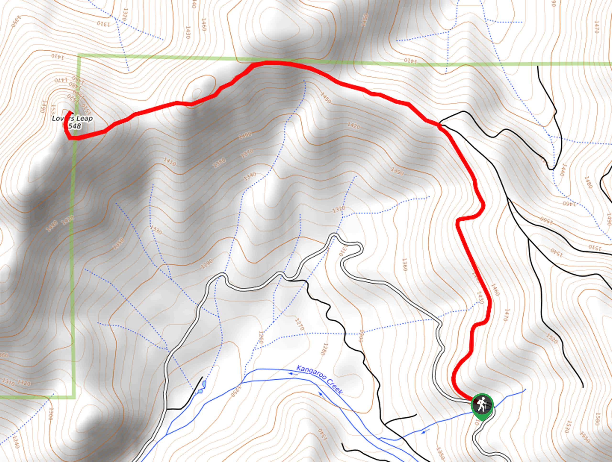
Lover’s Leap Hike
The Lover’s Leap Hike is an awesome adventure up to the summit of a granite bluff overlooking the Cascade Range…
Comments