Brins Mesa Hike
View Photos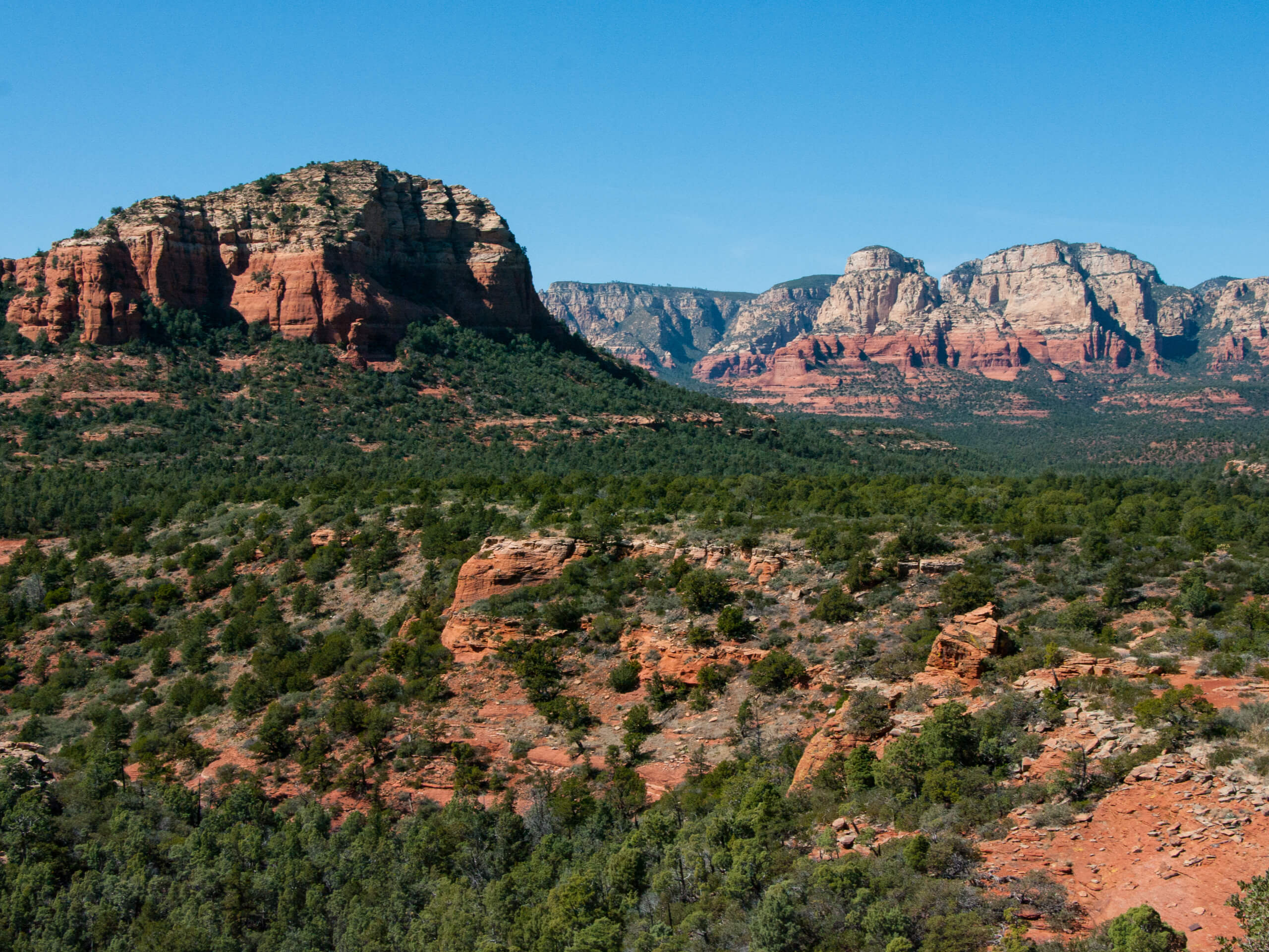
Brins Mesa Hike
Difficulty Rating:
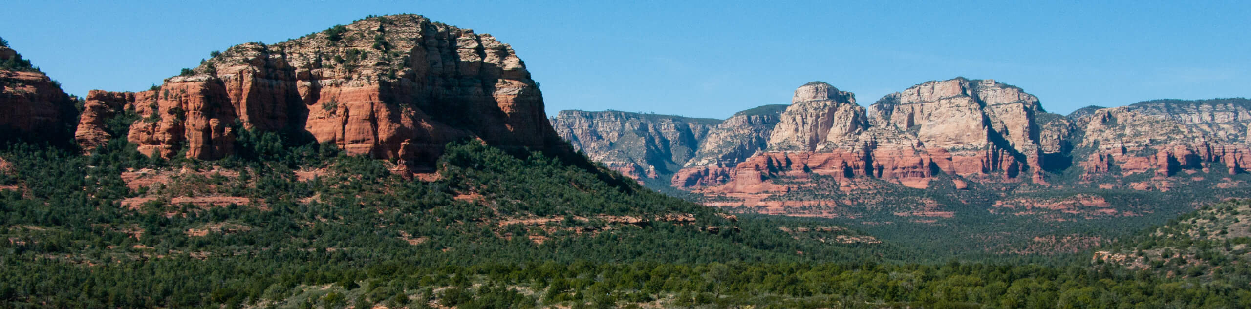
The Brins Mesa hike is a fun trail that doesn’t get quite as crowded as others in Sedona. This trail suffers from a little bit of overgrowth, but don’t let that stop you! The view from the mesa is awesome and the trail is varied and scenic. Expect heavy traffic on this hike and come prepared with a downloaded GPS track to help you find your way if needed.
Getting there
The trailhead for the Brins Mesa hike is at the end of Park Ridge Drive.

About
| Backcountry Campground | No |
| When to do | Year-round |
| Pets allowed | Yes - On Leash |
| Family friendly | Yes |
| Route Signage | Poor |
| Crowd Levels | High |
| Route Type | Out and back |
Brins Mesa Hike
Elevation Graph
Weather
Brins Mesa Hike Description
Brins Mesa is a great hike with lots of scenic views. It’s a bit adventurous thanks to some overgrowth, but it’s worth the bit of climbing and routefinding you might do. While this trail is heavily trafficked, it’s not usually quite as bad as other top trails in Sedona.
We recommend bringing a downloaded GPS track to help you find your way on this hike if needed. The signage isn’t great, but a quick glance at the map can keep you in the right spot. There’s a bit more climbing required towards the end but it’s nothing too strenuous.
Begin from the trailhead, taking the trail to the right of the other trails (Brins Mesa Trail) that start here. It’s a pretty level hike until you get to Brins Butte, where you’ll climb up the side of the butte and then head right to hike alongside the edge of the butte. At the mesa, stop to take in the views before returning via the same route.
Similar hikes to the Brins Mesa Hike hike

Margs Draw Trail
Margs Draw Trail is a bit of a hidden gem. This trail doesn’t get as much traffic as other nearby…

Baby Bell, Llama, and Bail Loop
The Baby Bell, Llama, and Bail Loop is a 3.6mi hike in Sedona near Bell Rock and Courthouse…

Herkenham Trail
Herkenham Trail is a 2.0mi out and back trail in the Coconino National Forest near Sedona. This route…
Comments