Hangover Trail
View Photos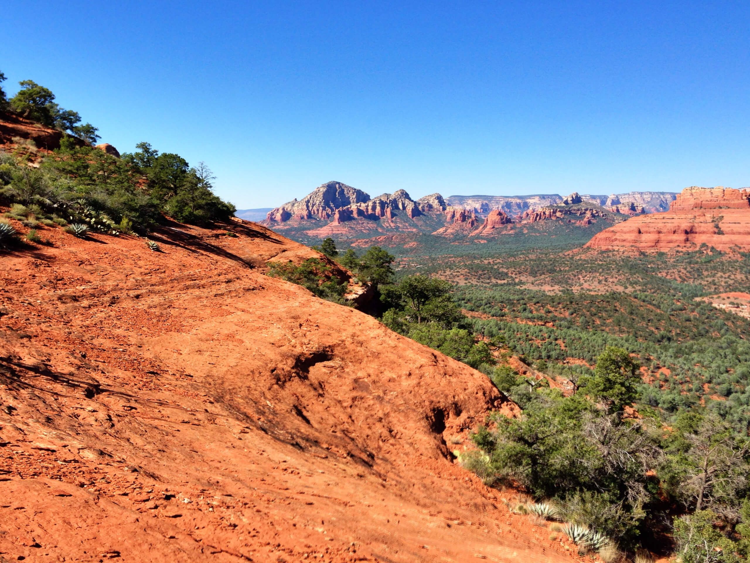
Hangover Trail
Difficulty Rating:
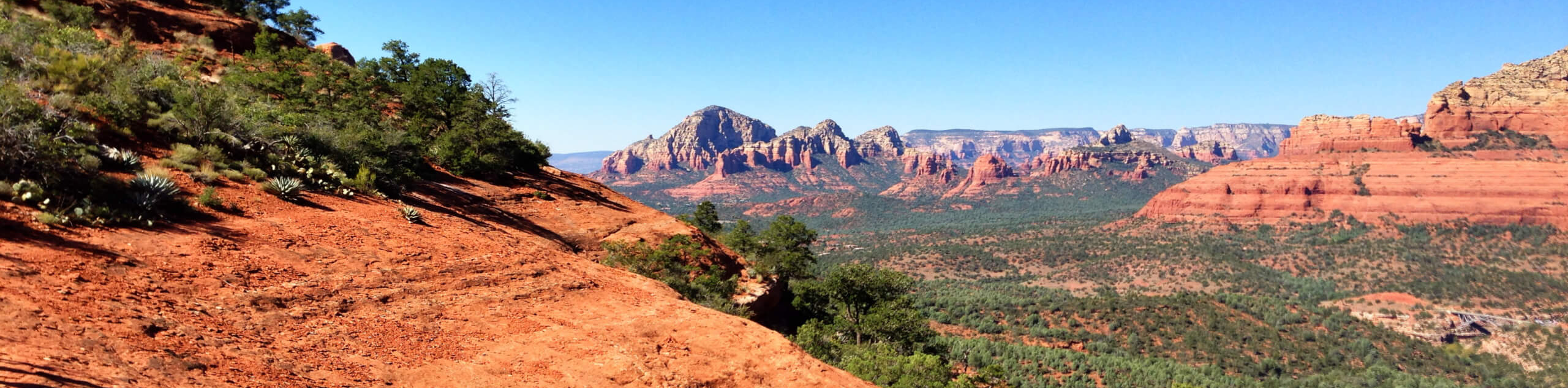
The Hangover Trail in Sedona is a 5.8mi hike with awesome views. You’ll spend some time hiking along an OHV road (a necessary beginning to get to a great end) before hiking up atop Pointed Dome. You can call it a day here or continue further for even better views. This trail can be quite hot, so bring lots of water if you're hiking on a warm day. Expect heavy traffic.
Getting there
The trailhead for the Hangover Trail is on Schnebly Hill Road.

About
| Backcountry Campground | No |
| When to do | Year-round |
| Pets allowed | Yes - On Leash |
| Family friendly | Yes |
| Route Signage | Average |
| Crowd Levels | High |
| Route Type | Out and back |
Hangover Trail
Elevation Graph
Weather
Hangover Trail Description
The Hangover Trail is worth a trip regardless of how hard you partied the night before. With plenty of Sedona’s classic red sandstone scenery to see, it’s a fun trip that can be extended for even better views. This hike sees heavy traffic, so arriving early is recommended.
The only downside to this hike is that a section of this trail closely follows a route used by pink Jeep tours and ATVs, so it can be a bit noisy. Don’t let this stop you from visiting, though! Also, watch for mountain biker traffic and remember to share the trail.
Starting from the trailhead, you’ll start off on Munds Wagon Trail, which closely follows Schnebly Hill Road for a stretch. Where the loop splits, head left and double back a bit to the base of the mesa. You’ll climb up underneath Pointed Dome and then wrap around to the south. While this guide ends here, going a bit further (about a mile) to the saddle between Pointed Dome and The Teapot gives you an even better view. When you’re ready, head back on the same trail you used to head up.
Similar hikes to the Hangover Trail hike

Margs Draw Trail
Margs Draw Trail is a bit of a hidden gem. This trail doesn’t get as much traffic as other nearby…

Baby Bell, Llama, and Bail Loop
The Baby Bell, Llama, and Bail Loop is a 3.6mi hike in Sedona near Bell Rock and Courthouse…

Herkenham Trail
Herkenham Trail is a 2.0mi out and back trail in the Coconino National Forest near Sedona. This route…
Comments