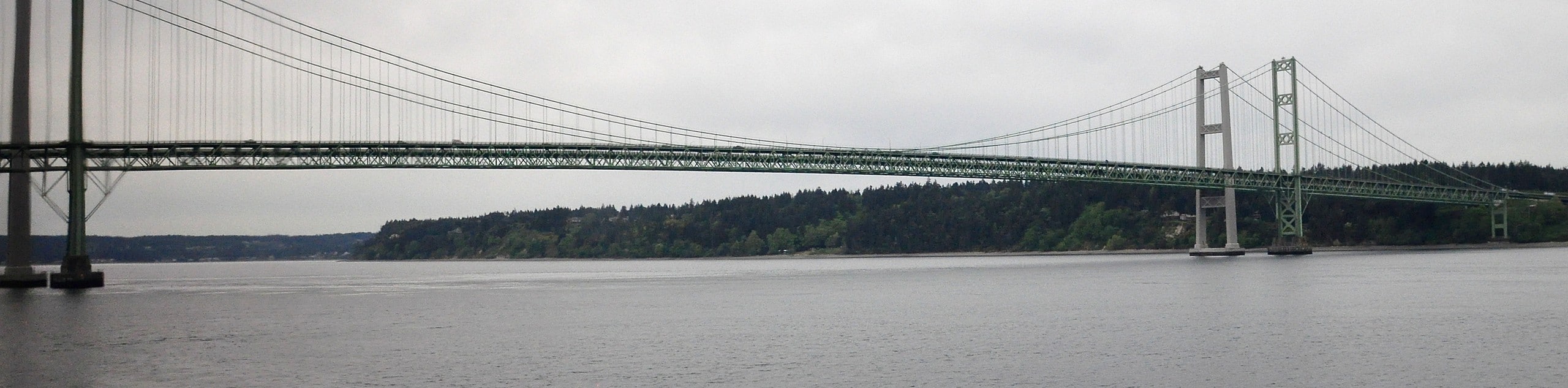
Tacoma Narrows Bridge Walk
View Photos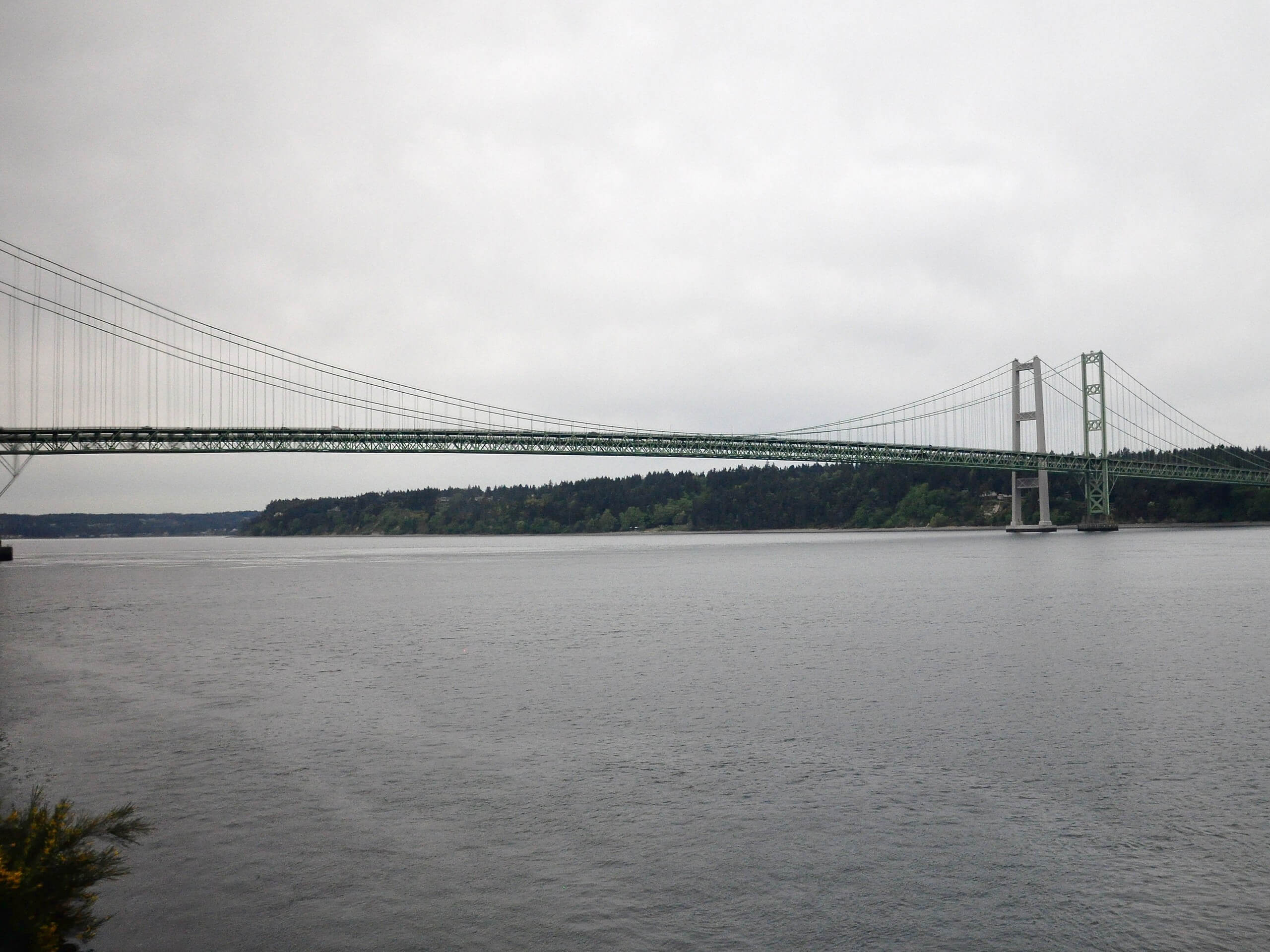
Tacoma Narrows Bridge Walk
Difficulty Rating:
The walk across the Tacoma Narrows Bridge gets better every time. This 3.4mi out and back trek takes you over the bridge and back, where you can look out over the islands, the water, and Mount Rainier. It’s a fun walk for kids and anyone who likes an impressive viewpoint. The walk has a gentle incline and is stroller-friendly. There will be traffic next to you on the hike, but hopefully the views are enough to distract you.
Getting there
The trailhead for the Tacoma Narrows Bridge walk is in the middle of War Memorial Park.

About
| Backcountry Campground | No |
| When to do | March-October |
| Pets allowed | Yes - On Leash |
| Family friendly | Yes |
| Route Signage | Average |
| Crowd Levels | Moderate |
| Route Type | Out and back |
Tacoma Narrows Bridge Walk
Elevation Graph
Weather
Tacoma Narrows Bridge Walk Description
The Tacoma Narrows bridge is a fun walk suitable for the whole family. The walk goes across the bridge and back, giving you great views of the surrounding islands, water, and mountains. It’s lightly inclined and incredibly easy to follow.
Begin from the middle of War Memorial Park. Head towards the bridge, crossing N Jackson Ave and walking on the Tacoma Narrows Trail next to the interstate.
You’ll follow the trail onto the sidewalk of the bridge, strolling over and enjoying the view. The route ends at the opposite end of the bridge, where you’ll turn around and head back to the trailhead the same way you came.
Similar hikes to the Tacoma Narrows Bridge Walk hike

Sky Country to Harvey Manning Loop
The Sky Country to Harvey Manning Loop is a 4.2mi loop trail in the northern part of Cougar…

Iverson Spit Preserve Loop
The Iverson Spit Preserve Loop is a 1.2mi loop hike right on the beach, coursing through a beaver…

Lowell Riverfront Trail
The Lowell Riverfront Trail is a 3.0mi route alongside the Snohomish River in Everett. This trail is heavily…
Comments