Soos Creek Trail
View Photos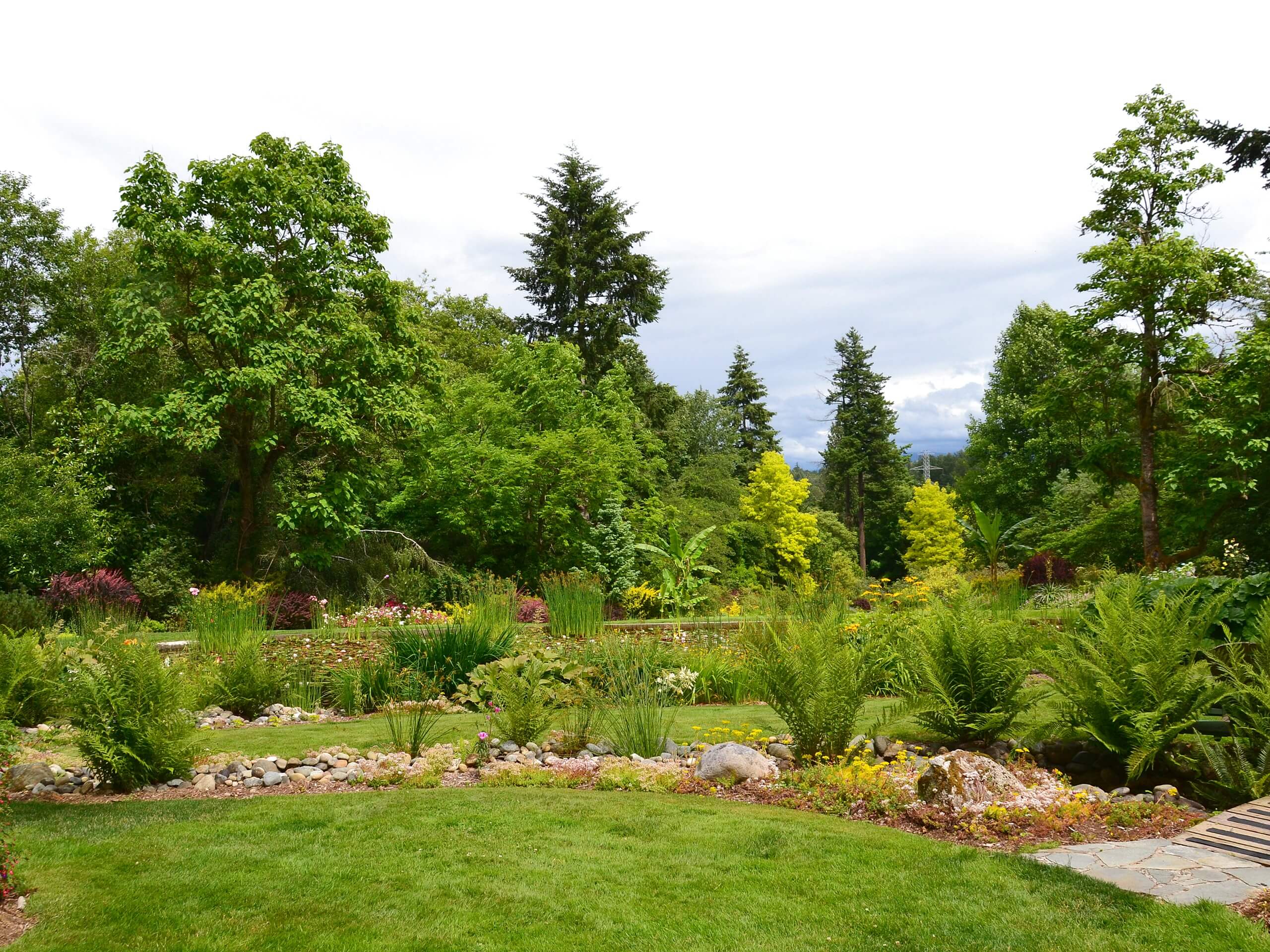
Soos Creek Trail
Difficulty Rating:
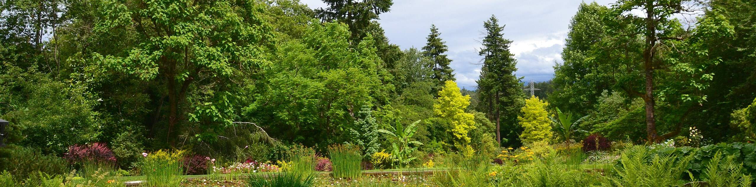
Soos Creek Trail is an 11.5mi out and back trail that runs from the north end of Soos Creek Park to the far south end. This trail is a popular choice for walkers and runners and is often busy on nice weekends. The route is mostly flat or gently rolling, making it a good choice for all skill levels. With multiple access points, you can start and finish wherever you like, tailoring your distance as you prefer.
Getting there
The trailhead for the Soos Creek Trail is in the south end of Soos Creek Park near the intersection of SE 266th St and 148th Ave SE, but you can pick up the trail wherever you like.

About
| Backcountry Campground | No |
| When to do | Year-round |
| Pets allowed | Yes - On Leash |
| Family friendly | Yes |
| Route Signage | Average |
| Crowd Levels | Moderate |
| Route Type | Out and back |
Soos Creek Trail
Elevation Graph
Weather
Soos Creek Trail Description
Enjoy a relaxed walk, run, or bike on the wide, easy-to-follow Soos Creek Trail. This popular multi-use path covers the length of the park, giving you plenty of room to go as far as you like. It’s mostly gently rolling or flat, so walkers of all ages and skill levels can enjoy it. There’s plenty of room on the trail to allow bikers and runners to pass, but keep your dogs on a leash and watch out for traffic anyway. There are bathrooms along the trail.
The trail begins in the south end of the park near a parking area. It’s very easy to follow as it stretches north through the park, crossing a few roads at pedestrian crosswalks. In the early summer, wildflowers line the path. Go as far as you like before retracing your steps back. You can also start this walk from the north end or any access point in between.
Similar hikes to the Soos Creek Trail hike

Explorer Falls Hike
The Explorer Falls hike is a 5.3mi moderate hike near Sultan, Washington. This trail takes you to a…

Sky Country to Harvey Manning Loop
The Sky Country to Harvey Manning Loop is a 4.2mi loop trail in the northern part of Cougar…

Iverson Spit Preserve Loop
The Iverson Spit Preserve Loop is a 1.2mi loop hike right on the beach, coursing through a beaver…
Comments