Mount Harvard Hike
View Photos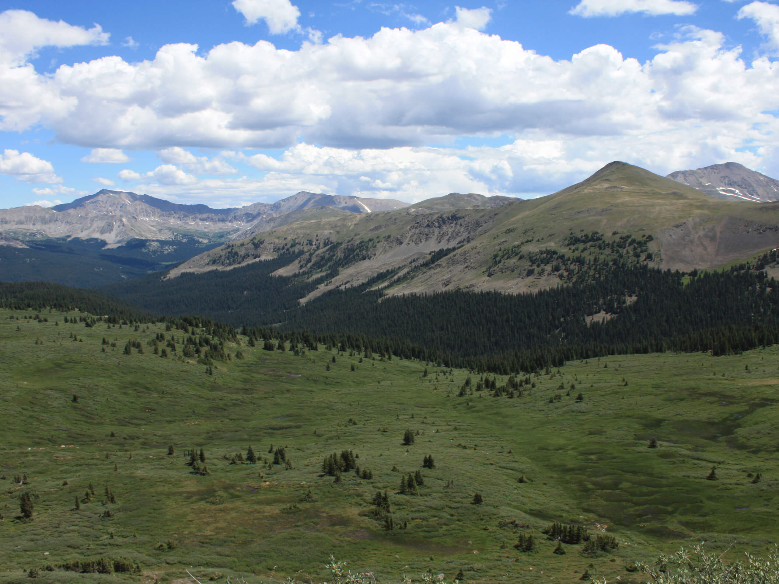
Mount Harvard Hike
Difficulty Rating:
The Mount Harvard Hike is an arduous but amazing trek up to Colorado’s third highest summit. Demanding stamina and an intrepid spirit, this hike is not for the faint of heart as it ascends over 3281ft up to the peak. Though taxing, the beautiful scenery and dramatic summit vistas are well worth the effort.
Getting there
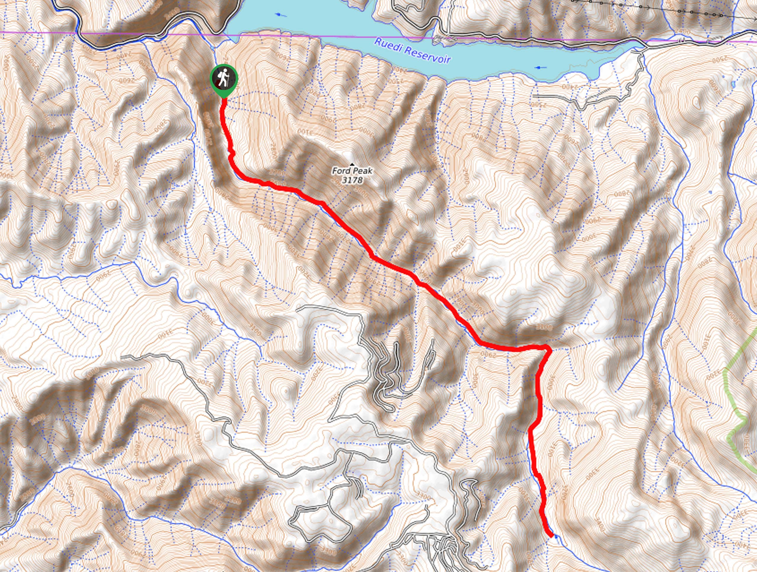
The Mount Harvard Hike departs from the Horn Fork Basin Trailhead off County Road 365.

About
| Backcountry Campground | Backcountry Dispersed Camping |
| When to do | June-October |
| Pets allowed | Yes - On Leash |
| Family friendly | No |
| Route Signage | Average |
| Crowd Levels | High |
| Route Type | Out and back |
Mount Harvard Hike
Elevation Graph
Weather
Mount Harvard Hike Description
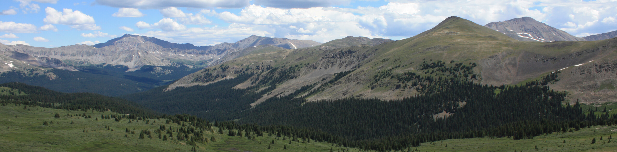
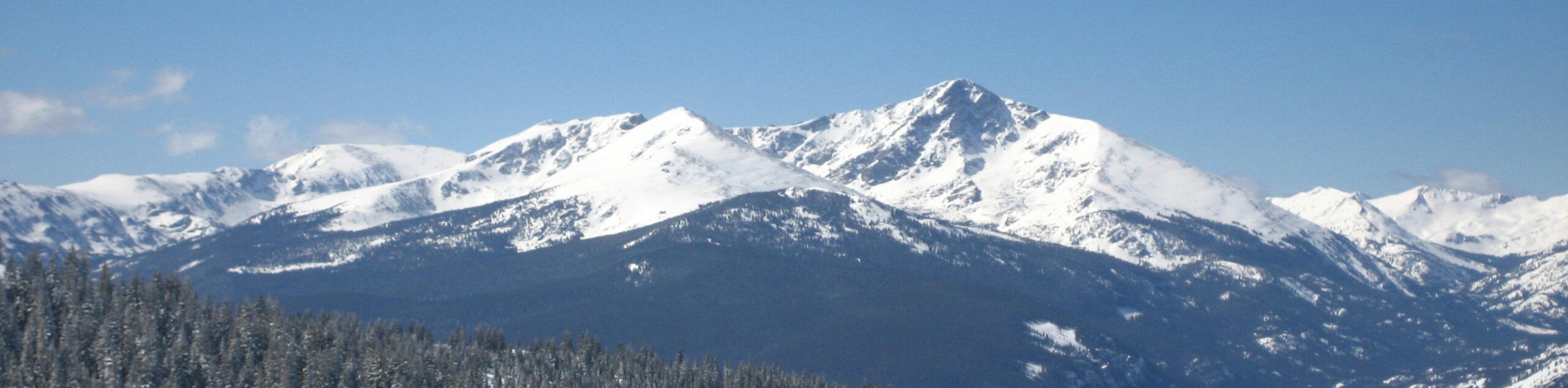
The Mount Harvard Hike is reserved for experienced hikers who crave a challenge. Due to the grandeur of the peak, it is important to be acclimated to the area’s altitude before your climb! Though this trek can be ventured year-round, we suggest a summer adventure when the peak is nearly clear of snow, and the alpine tundra is littered with wildflowers. Crampons and trekking poles are a must in the fall and winter months! *Note although dogs are permitted on the trail, there is a scramble near the peak that is not very dog friendly, so consider leaving your pup at home for this adventure!
Embark on your adventure along the Mount Harvard Hike from the Horn Fork Basin Trailhead. From here, track west along the Horn Fork Basin Trail, crossing multiple streams before encountering an intersection. Here, veer right, and you will be diverted northwest, up increasingly steep terrain. Follow this path through the woodlands, ignoring intersecting and merging paths until you reach Bear Lake. Here, hook onto Mount Harvard South Slopes Trail and scramble up the technical boulder field up to the summit.
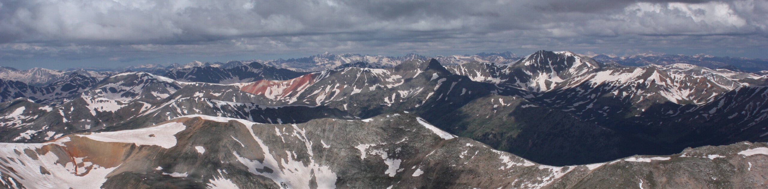
From the peak of Mount Harvard, revel in the sweeping vistas of the neighboring peaks and other snow-capped summits in the Sawatch Mountain Range. Then, rest, rehydrate and enjoy the grandeur of the Colorado wilderness before commencing your descent. When you are ready, retrace your footing along the path all the way back to the trailhead.
Similar hikes to the Mount Harvard Hike hike
Mount of the Holy Cross Loop Trail
Hike up to one of the most famous Colorado 14ers along the Mount of the Holy Cross Loop Trail. This…
Rocky Fork Trail
The Rocky Fork Trail is an unassumingly picturesque adventure through the Rocky Fork Creek’s forested canyon that reveals awe-inspiring views…
La Plata Ellingwood Ridge Hike
The La Plata Ellingwood Ridge Hike is a demanding feat that requires an experienced adventurer with an intrepid spirit. If…
Comments