
Alpine Tunnel Trail
View Photos
Alpine Tunnel Trail
Difficulty Rating:
Travel back in time as you hike along the Alpine Tunnel Trail. This scenic adventure is sure to please history buffs and outdoor enthusiasts alike as it travels along a historic rail bead, passing the now collapsed Alpine Tunnel.
Getting there
The Alpine Tunnel Trail departs from the trailhead off Hancock Road 295.

About
| Backcountry Campground | No |
| When to do | March-October |
| Pets allowed | Yes - On Leash |
| Family friendly | Yes |
| Route Signage | Good |
| Crowd Levels | Moderate |
| Route Type | Out and back |
Alpine Tunnel Trail
Elevation Graph
Weather
Alpine Tunnel Trail Description
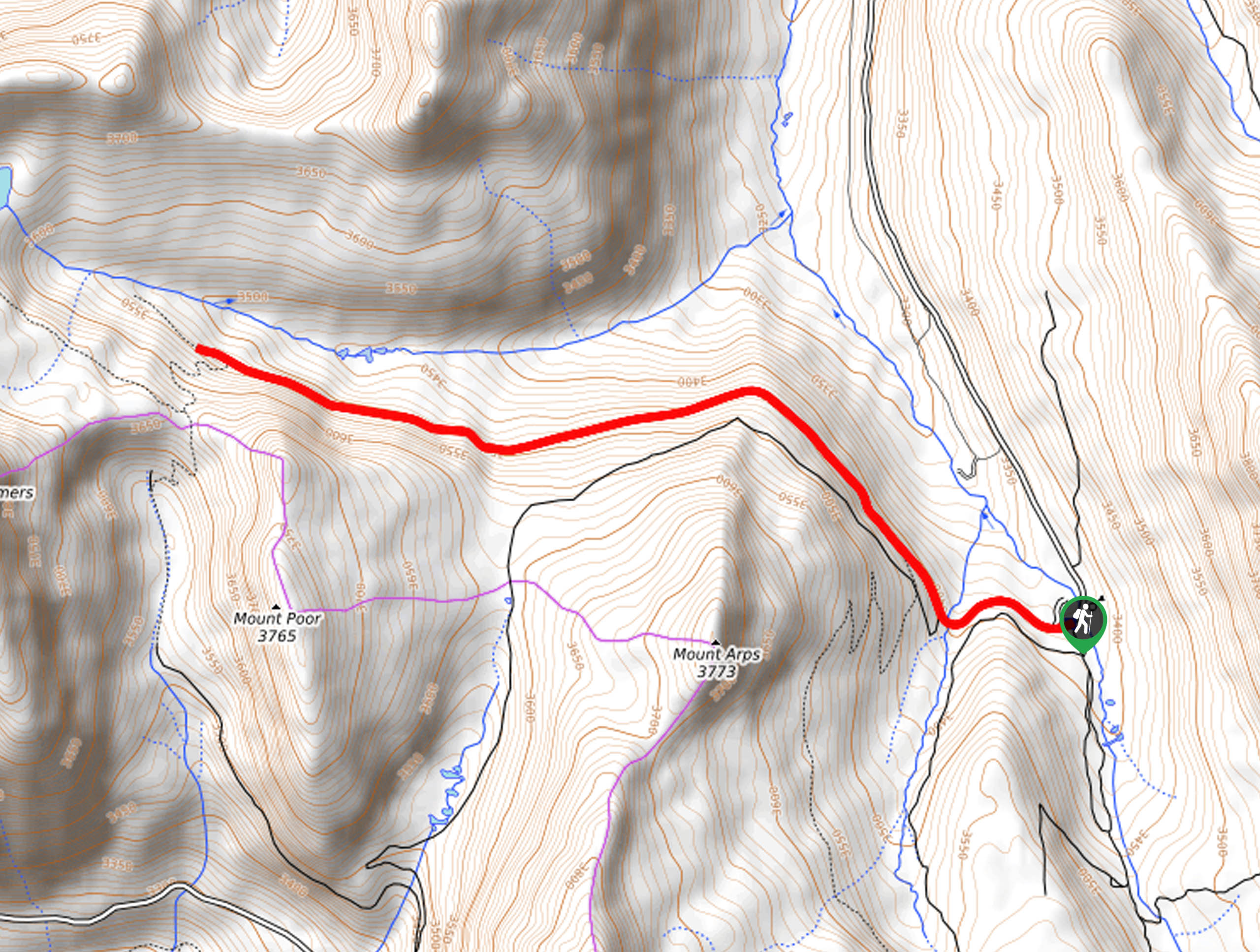
The Alpine Tunnel Trail is an awesome way to get out into the fresh air and get some exercise without over-exhausting yourself. Located in the Sawatch Mountain Range, this trek is a welcomed diversion from the area’s typical technical summit hikes. Travel along the ridge of Mount Arps and revel in the sweeping vistas of Colorado’s mountainous wilderness as you progress. Additionally, this is a great trail to spot fauna, such as overly friendly marmots and moose! When hiking in the fall or winter months, we highly recommend microspikes or snowshoes for better tracking on the likely snow-cloaked terrain!
Embark on your adventure along the Alpine Tunnel Trail from the trailhead off Hancock Road 295. From here, track the Alpine Tunnel Trail west. Soon after departing, you will encounter an intersection, veer right, and follow the path northwest. Traveling through the sparse pine forests, interspersed with golden aspens, you will be guided along the old rail bed. In some areas, you can clearly see the old wooden tracks, so mind your footing as they can be a tripping hazard!
Soon the path will become increasingly exposed, presenting the ideal opportunity to spot a grazing moose in the meadowlands. Soon, you will encounter your turnaround point at the next intersection. If you still have some gas left in the tank, feel free to explore further and check out the collapsed tunnel. When you are ready, simply retrace your footing along the path back to the trailhead.
Similar hikes to the Alpine Tunnel Trail hike
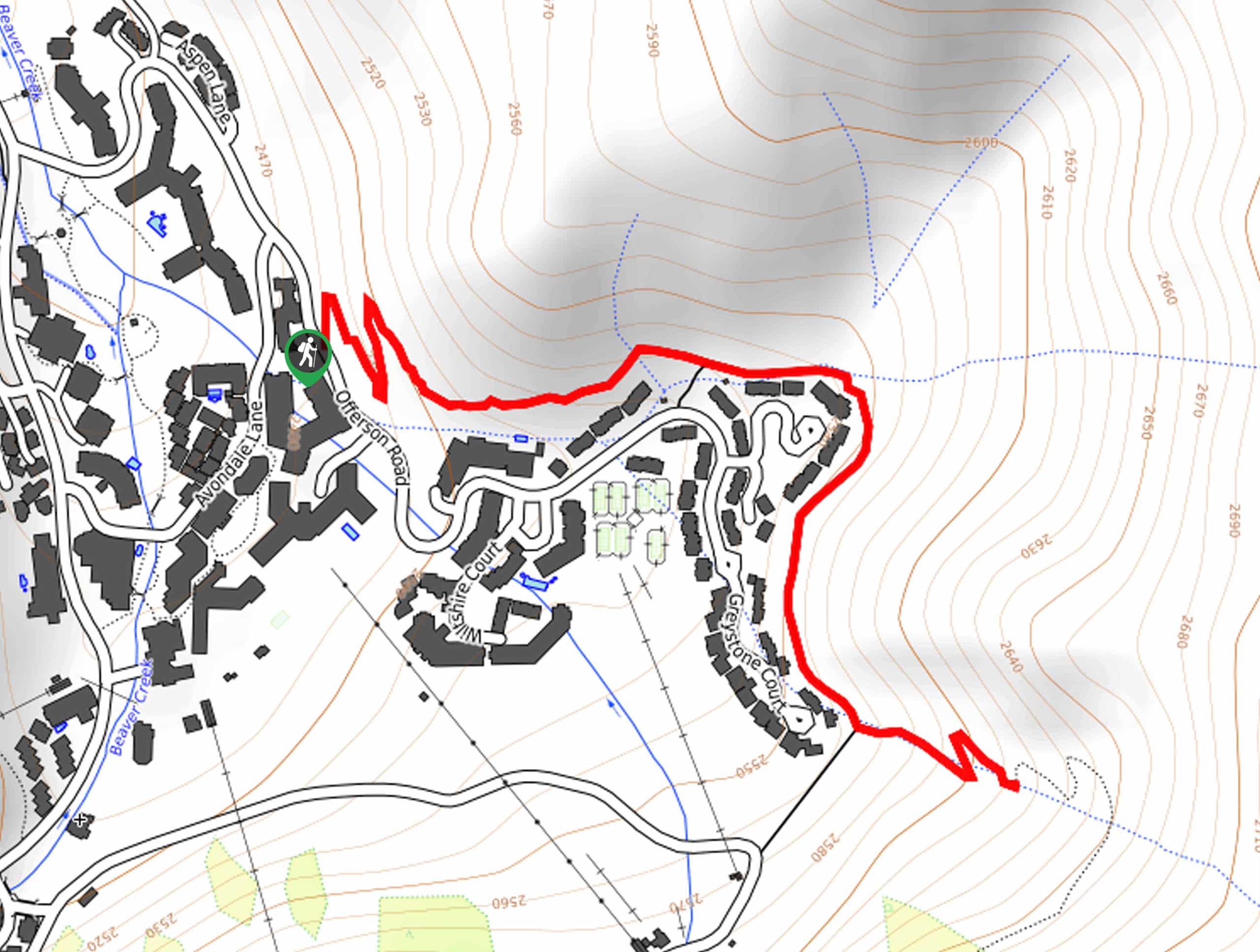
Village Creek Trail
Explore the Beaver Creek Ski Resort and revel in the vibrance of the encompassing woodlands as you venture the Village…
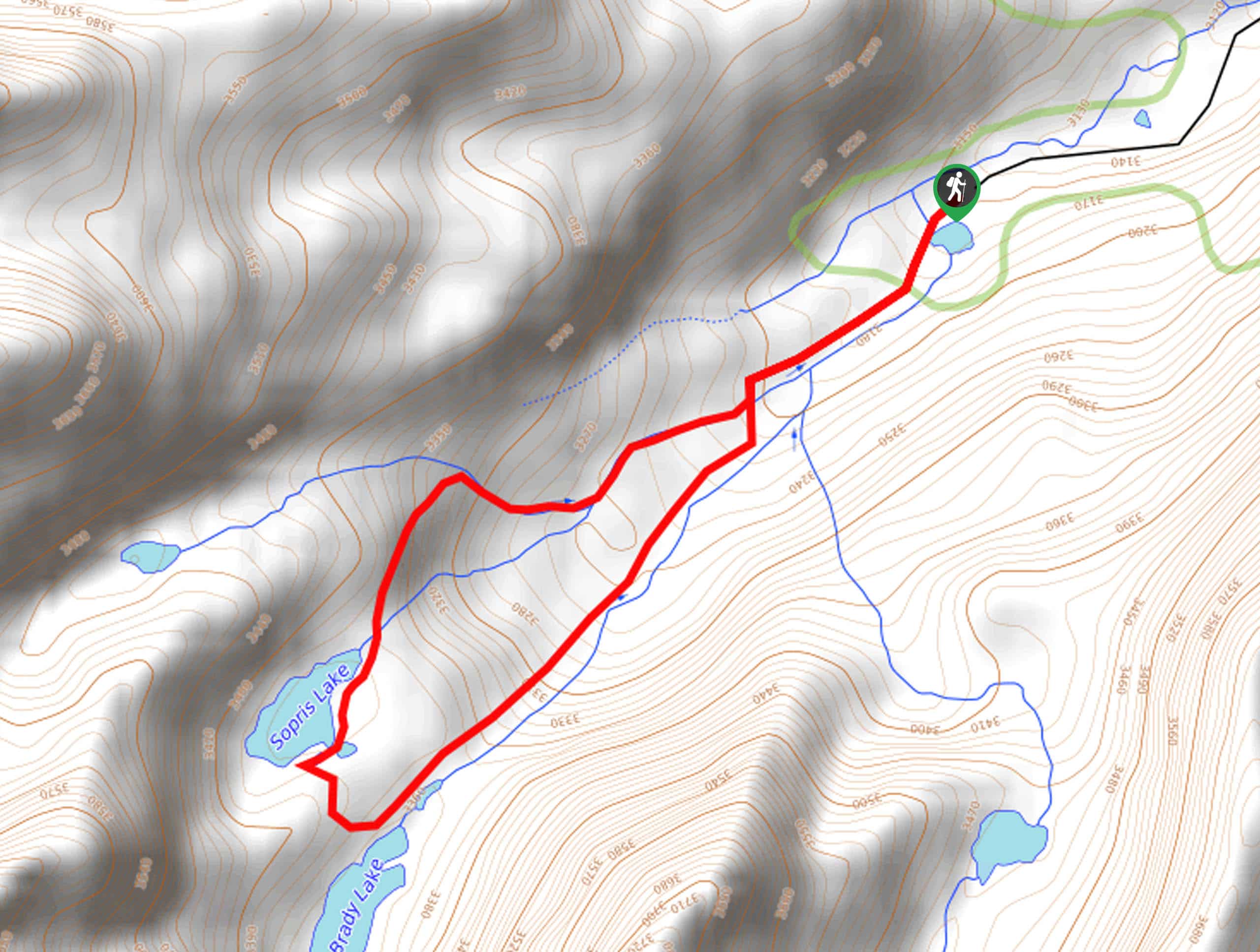
Sopris Lake via Brady Lake Trail
Immerse yourself in the jaw-dropping scenery that the Swatch Mountain Range has to offer, as you venture to Sopris Lake…
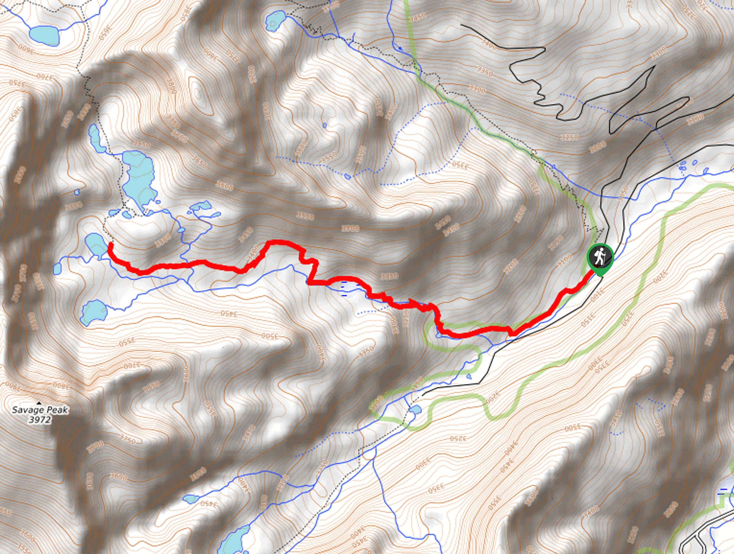
First Missouri Lake Trail
The First Missouri Lake Trail is a stunning day hike into Colorado’s high country. Explore the alpine terrain and revel…
Comments