
Henry Lake Hike
View Photos
Henry Lake Hike
Difficulty Rating:
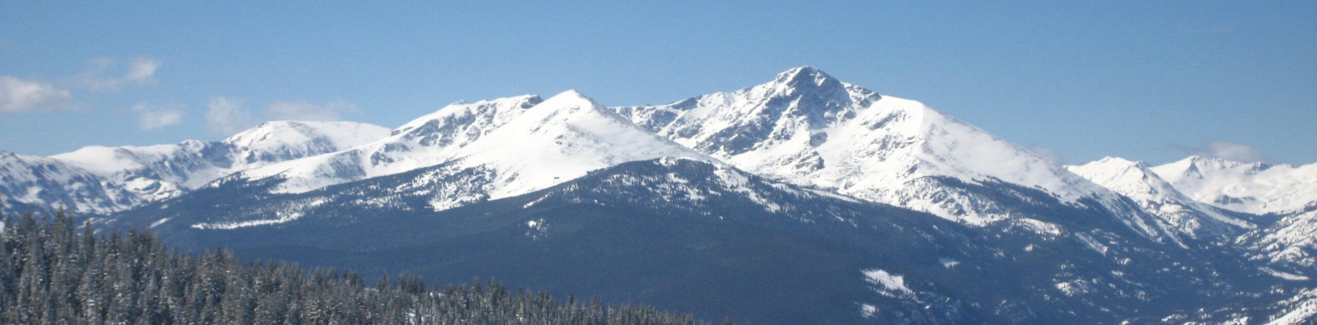
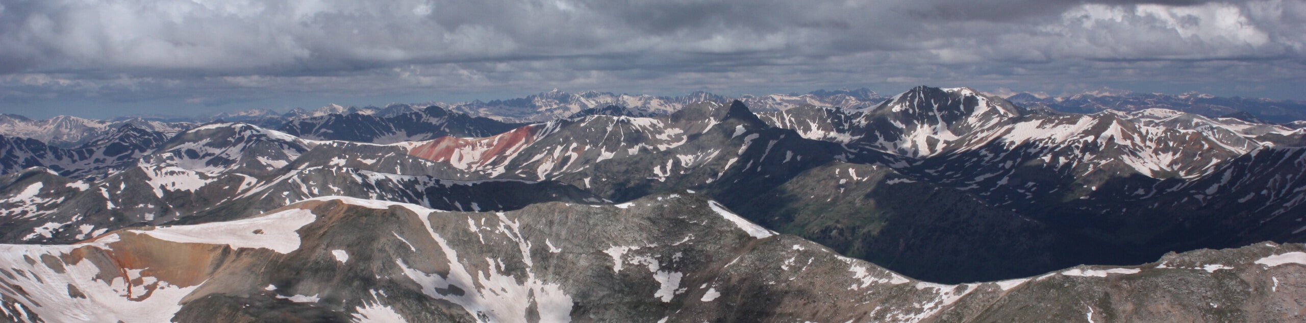
Put your stamina to the test as you venture the Henry Lake Hike. This demanding, but highly rewarding adventure through the alpine terrain offers inspiring vistas of the Sawatch Mountains that flank the verdant woodlands below. This trek is a must add to your Colorado hiking itinerary!
Getting there
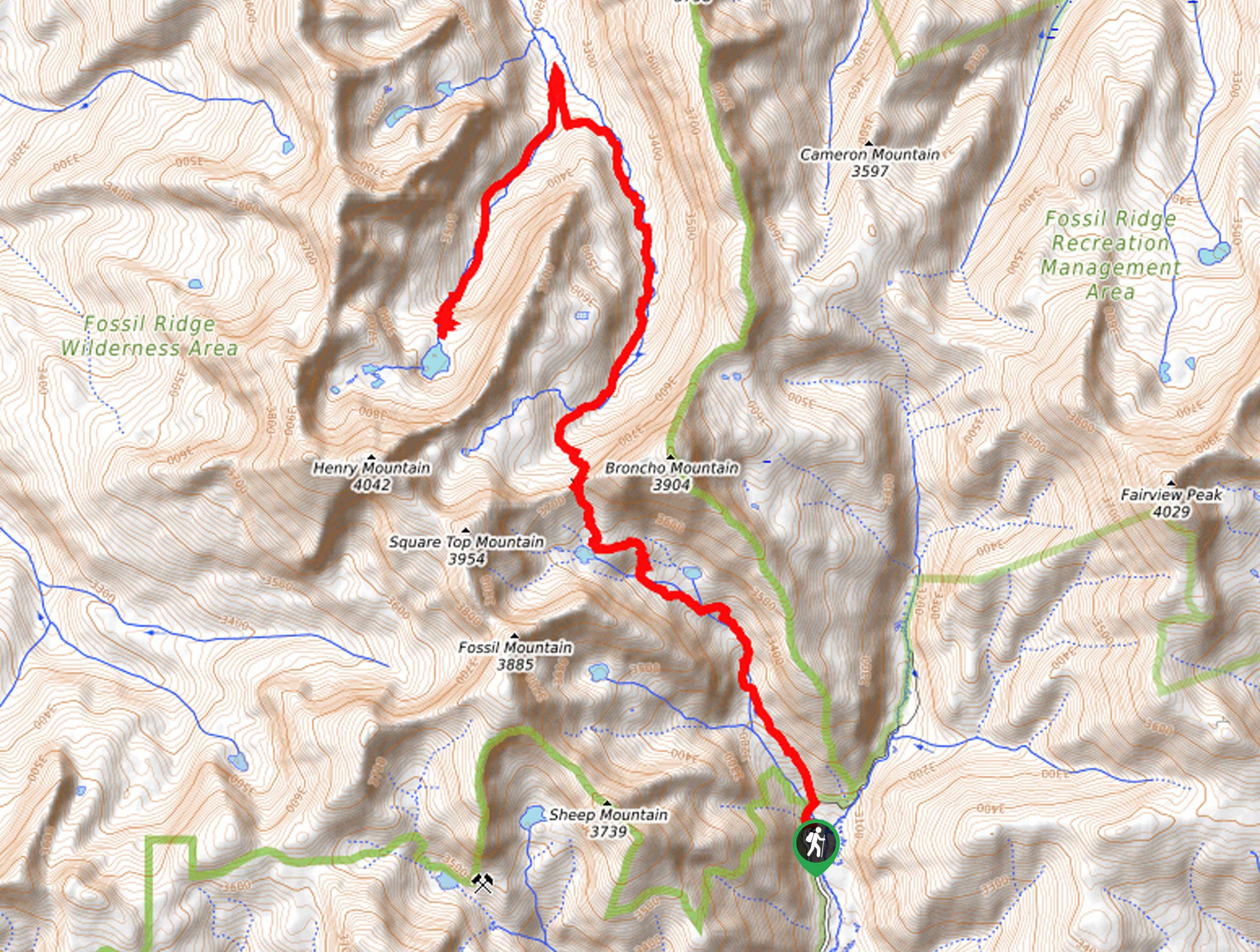
The Henry Lake Hike is accessed via the South Lottis Trailhead off Gold Creek Road.

About
| Backcountry Campground | Dispersed Backcountry Camping |
| When to do | June-September |
| Pets allowed | Yes - On Leash |
| Family friendly | No |
| Route Signage | Average |
| Crowd Levels | High |
| Route Type | Out and back |
Henry Lake Hike
Elevation Graph
Weather
Henry Lake Hike Description
The Henry Lake Hike exhibits the diversity and unparalleled beauty of the Colorado wilderness. This epic adventure will guide you through dense woodlands, luxuriant alpine meadows, past several shimmering lakes, and up and over a high mountain pass. With ample scenery to enjoy along this trek, you will be anything but bored! Note: there are steep and rocky segments of the path, so we highly recommend a pair of sturdy shoes and trekking poles. When ascending to high elevations, it is also important that you are acclimated to the area’s altitude before your climb!
Embark on your adventure along the Henry Lake Hike from the South Lottis Trailhead off Gold Creek Road. From here, track north through the woodlands and along the curves of the gurgling Lamphier Creek. Eventually, you will pass both Lower Lamphier and Lamphier Lake, which reveal postcard-worthy sights. Enjoy the beauty of the lakes, then continue along the path navigating the vertiginous terrain up to the mountain pass. From atop the saddle, you will be granted sweeping vistas of the neighboring peaks before dipping back below the timberline.
Follow the South Lottis Trail through the forested gulch and you will eventually confront another junction. Take a left here and you will be diverted onto the Henry Lake Trail. This segment of the route is technical and steep, so take your time and mind your footing as you scramble up the talus. Soon, you will reach the shores of the stunning Henry Lake. Revel in the scenery of the blue-hued waters flanked by towering cliffs, then retrace your steps along the path all the way back to the trailhead.
Similar hikes to the Henry Lake Hike hike
Mount of the Holy Cross Loop Trail
Hike up to one of the most famous Colorado 14ers along the Mount of the Holy Cross Loop Trail. This…
Rocky Fork Trail
The Rocky Fork Trail is an unassumingly picturesque adventure through the Rocky Fork Creek’s forested canyon that reveals awe-inspiring views…
La Plata Ellingwood Ridge Hike
The La Plata Ellingwood Ridge Hike is a demanding feat that requires an experienced adventurer with an intrepid spirit. If…
Comments