Narrow Gauge Trail
View Photos
Narrow Gauge Trail
Difficulty Rating:
The Narrow Gauge Trail is an amazing adventure through the corridor between two towering Colorado 14ers– Mount Princeton and Mount Antero. Ideal for those acclimating to the altitude of the area, this trek still delivers epic alpine views, just from a different perspective! Suitable for the whole family, this excursion presents the perfect excuse to get the family out into the fresh air.
Getting there
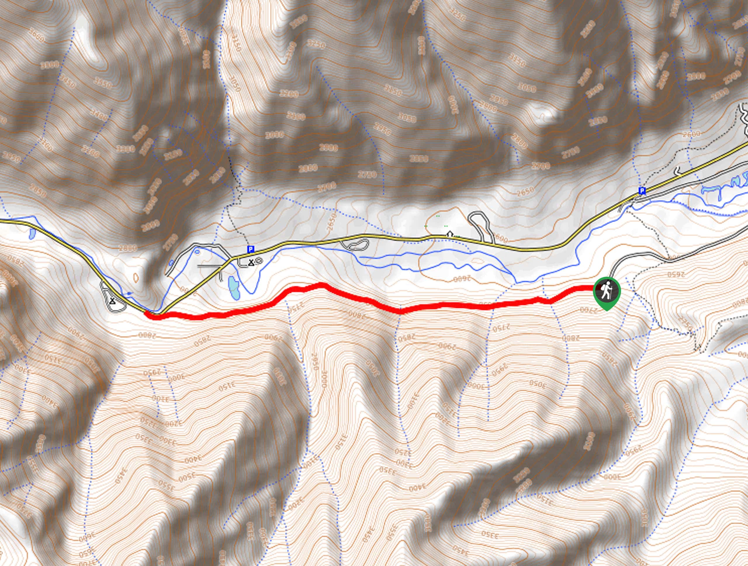
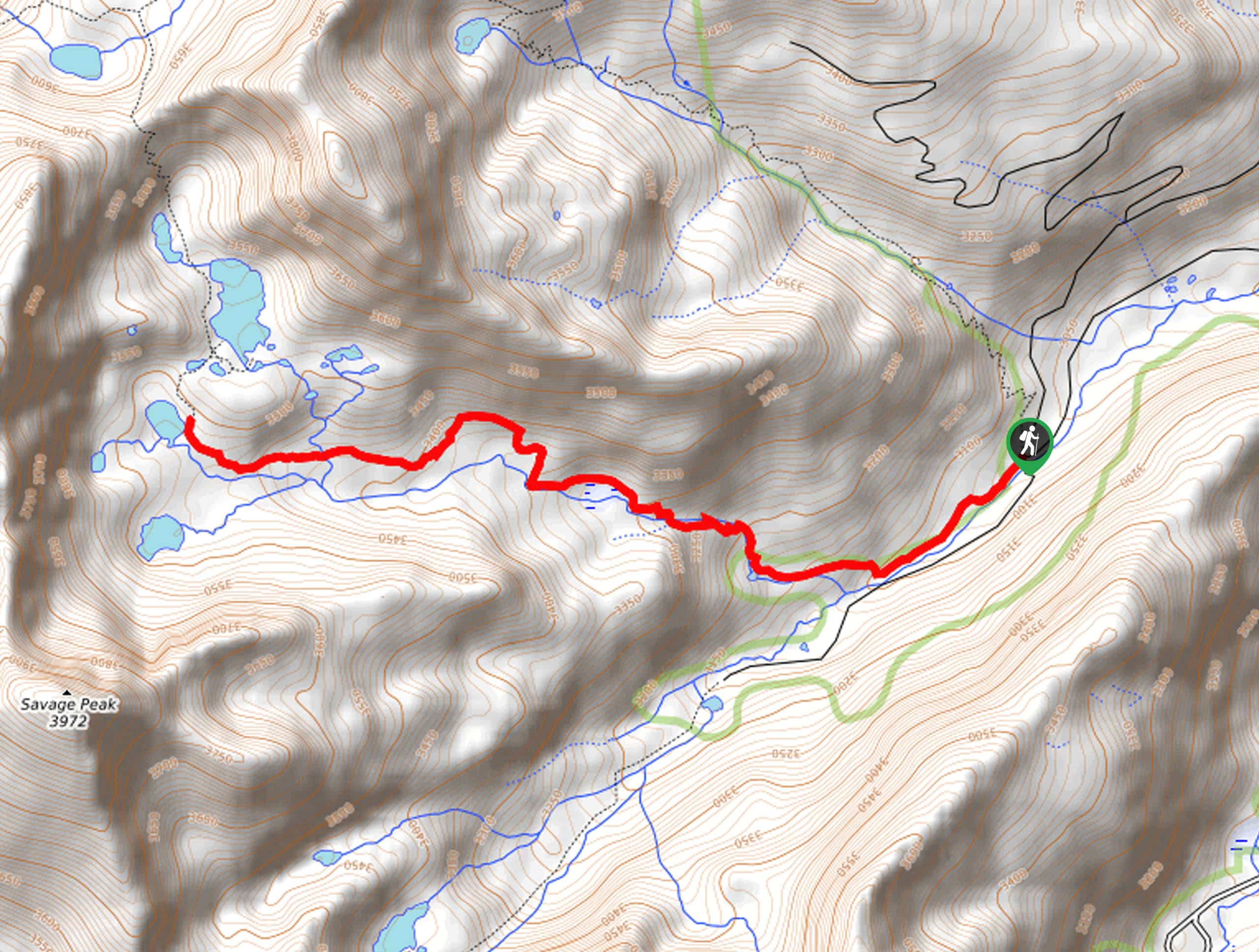
The Narrow Gauge Trail departs from the trailhead off County Road 290.

About
| Backcountry Campground | No |
| When to do | Year-round |
| Pets allowed | Yes - On Leash |
| Family friendly | Yes |
| Route Signage | Average |
| Crowd Levels | Low |
| Route Type | Out and back |
Narrow Gauge Trail
Elevation Graph
Weather
Narrow Gauge Trail Description
The Narrow Gauge Trail is a must-add to your hiking itinerary. This amazing adventure presents unparalleled mountain views as you venture through the corridor through some of Colorado’s highest peaks. As you acclimate to the area’s elevation you will be rewarded with epic Sawatch Range vistas. With manageable terrain and limited inclines, this trek is ideal for kids and novice hikers alike. Enjoy sights of the Chalk Cliffs and Agnes Vaille Waterfall as you wander this route.
Embark on your adventure along the Narrow Gauge Trail from the trailhead off Country Road 290. From this point, hike west along the Narrow Gauge Trail and enjoy sights of the towering Chalk Cliffs as you venture along the pass. Revel in the views of the looming peaks and the verdant pines that line the route. You will pass the Agnes Vaille Waterfall as you near the trail’s end.
You will confront your turnaround point at the Cascade Falls just before Cascade Camp. Revel in the mesmerizing sights of the running water and when you are ready, retrace your steps along the path back to the trailhead.
Similar hikes to the Narrow Gauge Trail hike
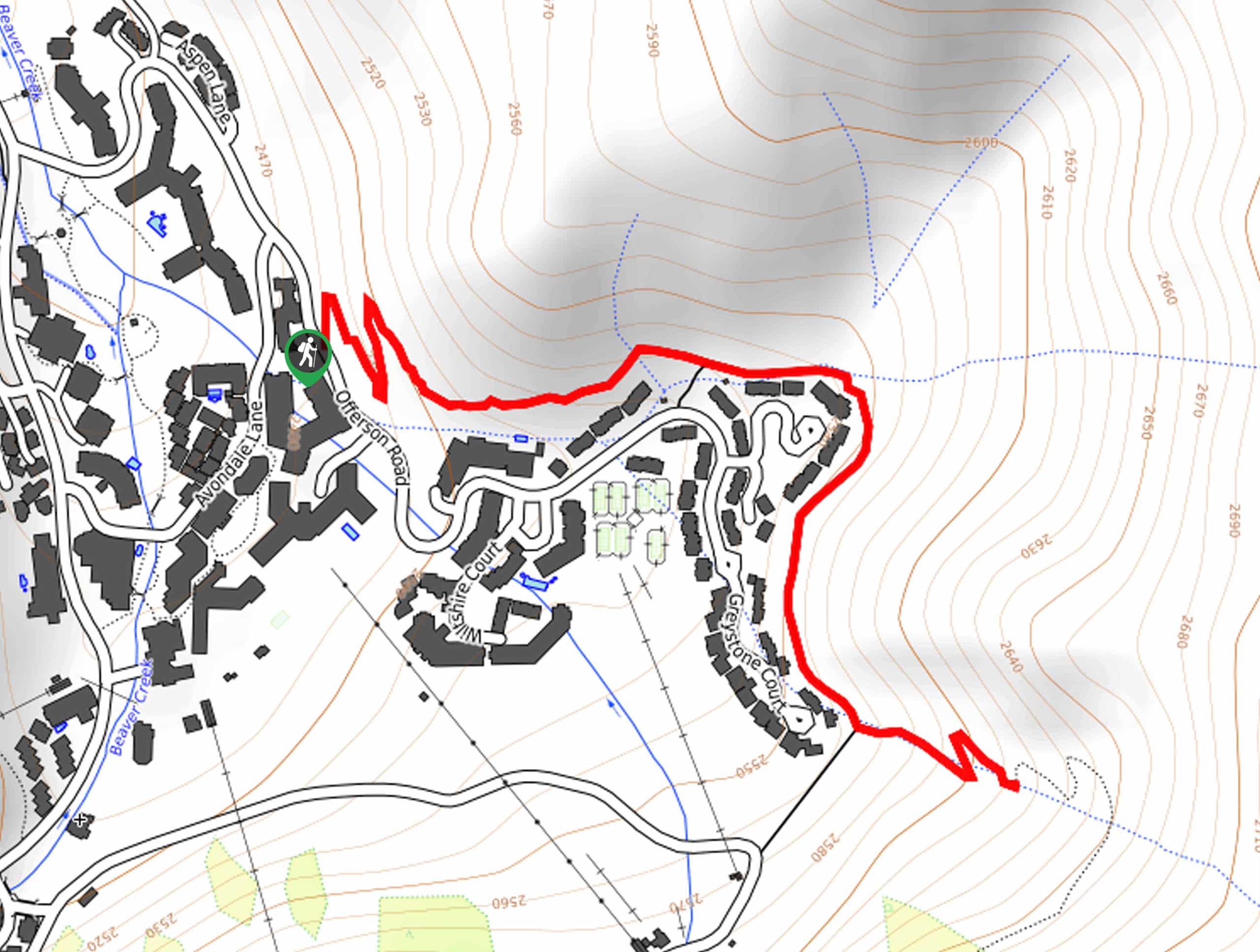
Village Creek Trail
Explore the Beaver Creek Ski Resort and revel in the vibrance of the encompassing woodlands as you venture the Village…
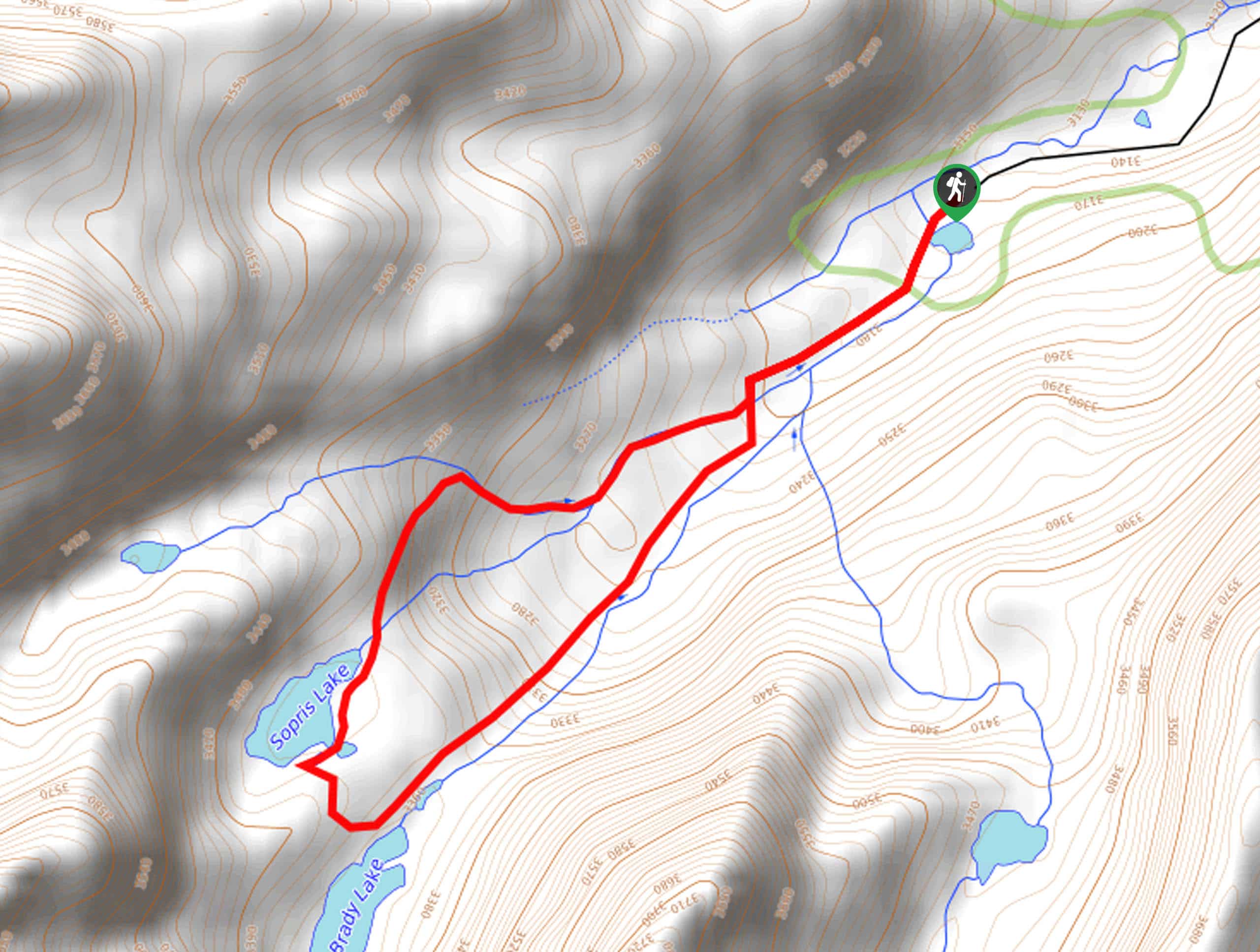
Sopris Lake via Brady Lake Trail
Immerse yourself in the jaw-dropping scenery that the Swatch Mountain Range has to offer, as you venture to Sopris Lake…
First Missouri Lake Trail
The First Missouri Lake Trail is a stunning day hike into Colorado’s high country. Explore the alpine terrain and revel…
Comments