The Lake Mary Trail
View Photos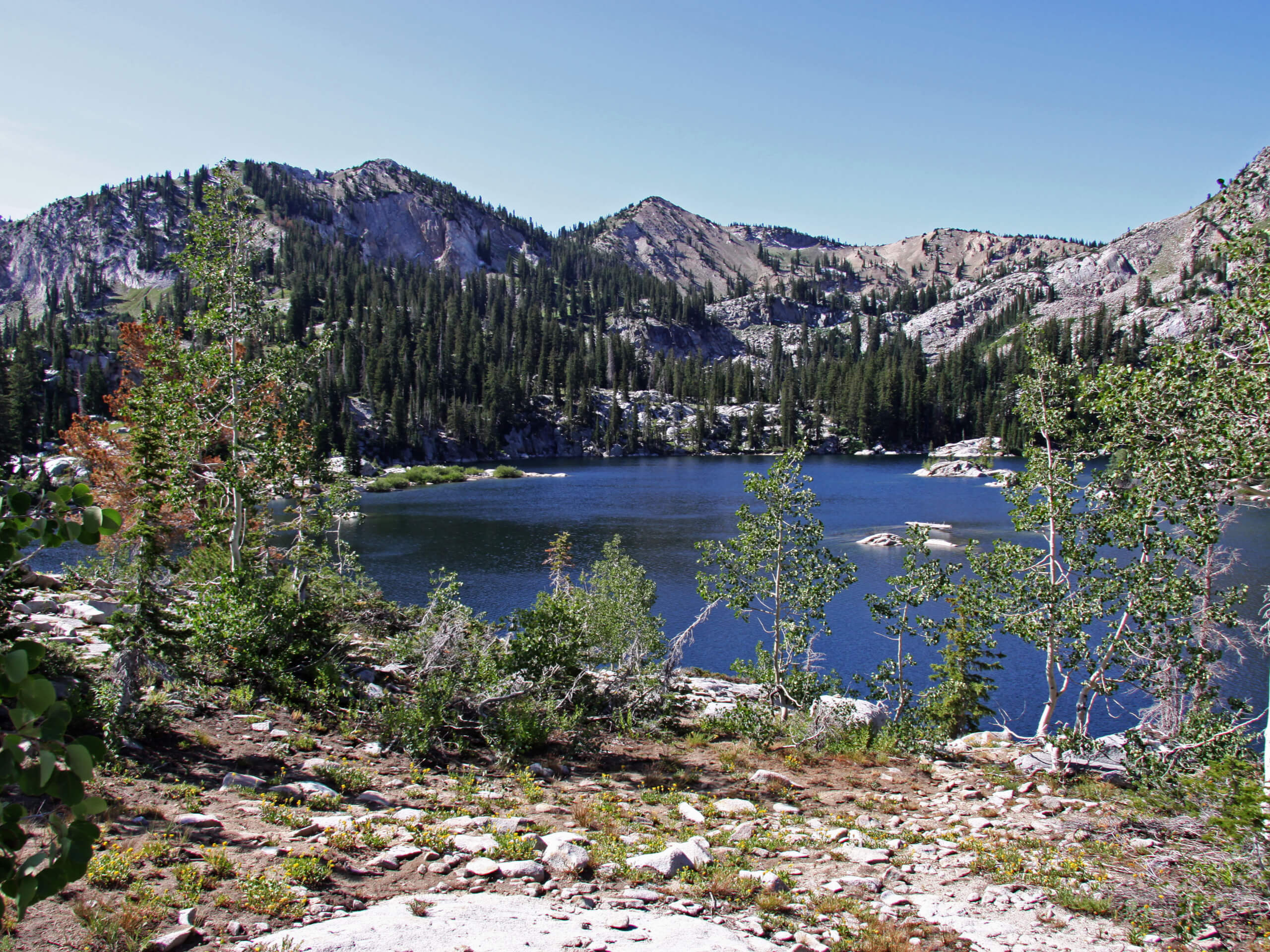
The Lake Mary Trail
Difficulty Rating:
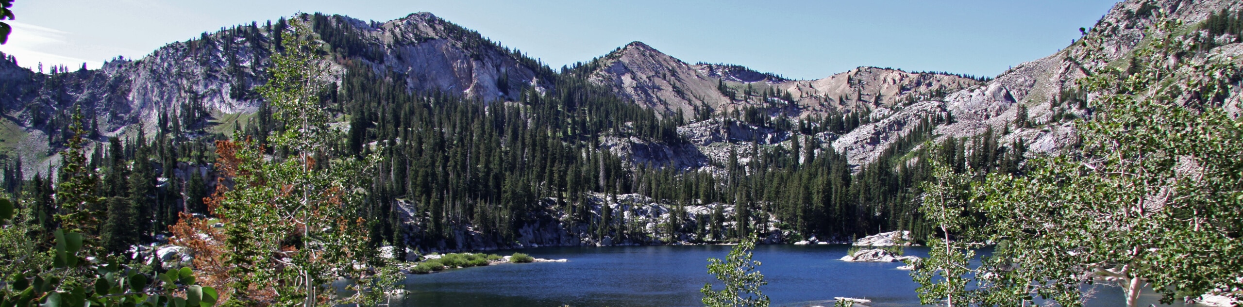
The Lake Mary Trail is an absolutely gorgeous hike in the Uinta-Wasatch-Cache National Forest. Home to forest wildlife such as moose, deer, salamanders, and songbirds, Lake Mary is a pristine alpine lake with a rugged rocky shore. This trail is moderately challenging but overall family-friendly and a great way to spend the day exploring the beauty of the Utah landscape.
Getting there
This hike begins at the Brighton Lakes Trailhead at the Brighton Resort east of Salt Lake City, Utah.

About
| Backcountry Campground | No |
| When to do | January to October |
| Pets allowed | No |
| Family friendly | Yes |
| Route Signage | Average |
| Crowd Levels | High |
| Route Type | Out and back |
The Lake Mary Trail
Elevation Graph
Weather
The Lake Mary Trail Description
The hike to Lake Mary is a beautiful route through the Uinta-Wasatch-Cache National Forest, east of Salt Lake City, Utah. This trail has some steep and rocky sections, so hikers should arrive with proper, supportive footwear and lots of snacks and water for the day. Dogs are not allowed, and swimming is not permitted in Lake Mary as this reservoir is a watershed. Also, the water up there is pretty frigid, so you probably wouldn’t want to swim even if you could. This hike is one of the most popular routes, so we recommend arriving early to beat the crowds.
Lake Mary is truly something to behold. This pristine alpine lake is home to moose, deer, fish, songbirds, and more. If you are lucky enough to see wildlife on your hike, do not feed the animals and be sure to give them lots of space. For an especially spectacular experience, try this hike in July when the forest wildflowers are in full bloom.
From the Brighton Lakes Trailhead, follow the path south to an intersection of trails. Take the path in the middle, and follow it straight ahead for a quarter of a mile to a divide, stay left and continue south. A quarter of a mile past this divide, a trail will join in from your left, continue straight ahead to a split, take the right-hand path and head east for just 0.1mi to another divide. The trail on the left leads a short distance to Dog Lake and can be a fun addition to your hike. To continue on the route, follow the path straight ahead for another 0.2mi to the rocky shores of Lake Mary.
Take a rest at beautiful Lake Mary and enjoy the cool breeze coming off the crystal-clear water. If you are looking to explore more, you can continue southwest down to Lake Martha and Lake Catherine or continue northwest to the Twin Lakes Reservoir. Finally, if you are ready to head home after a break at Lake Mary, turn around and follow your footsteps back to the trailhead.
Frequently Asked Questions
How long is the Lake Mary Hike?
The hike to Lake Mary via the Brighton Lakes Trail is 2.6mi out-and-back.
Can you swim in Lake Mary, Utah?
No, you cannot swim in Lake Mary as it is part of a watershed.
What canyon is Lake Mary in?
Lake Mary is in the Big Cottonwood Canyon of the Uinta-Wasatch-Cache National Forest.
Insider Hints
This trail is very popular, arrive early to beat the crowds
Pack a picnic and a blanket to enjoy a lakeside lunch
You can also hike to Lake Mary along the Brighton Lakes Loop
Similar hikes to the The Lake Mary Trail hike

Willow Hollow, Ridge, and Pine Hollow Trail
The Willow Hollow and Pine Hollow Trail is a beautiful route in the Uinta-Wasatch-Cache National Forest. This trail is an…

Solitude to Beaver Pond Trail
The Solitude to Beaver Ponds Trail is a beautiful hike through the Uinta-Wasatch-Cache National Forest. This trail is lush and…

City Creek Canyon Road
The City Creek Canyon Road is a popular trail just north of downtown Salt Lake City, Utah. This path is…
Comments