The Great Western Trail Loop
View Photos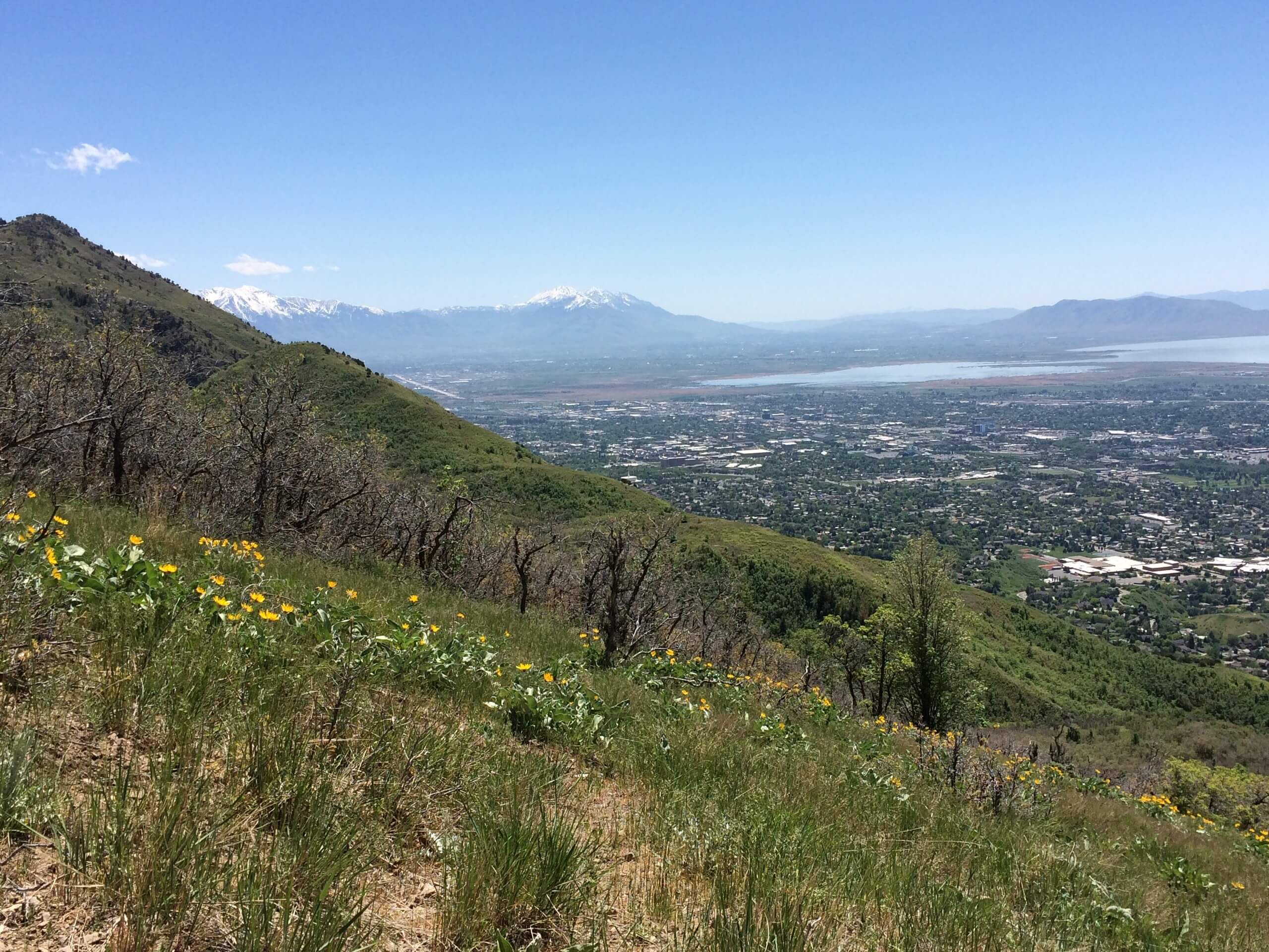
The Great Western Trail Loop
Difficulty Rating:
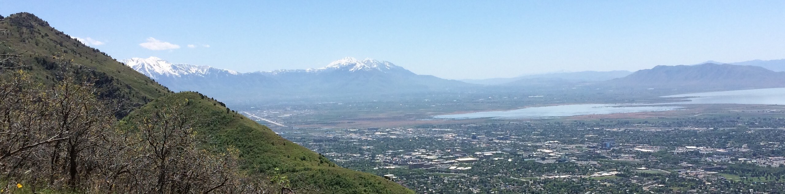
The Great Western Trail Loop is a beautiful hike in the Uinta-Wasatch-Cache National Forest. This moderately challenging hike is short and steep. Unfortunately, dogs are not permitted along this trail.
Getting there
This hike begins on Layton Ridge Drive on the eastern edge of Layton, Utah

About
| Backcountry Campground | No |
| When to do | Year-round |
| Pets allowed | No |
| Family friendly | Older Children only |
| Route Signage | Average |
| Crowd Levels | Low |
| Route Type | Lollipop |
The Great Western Trail Loop
Elevation Graph
Weather
The Great Western Trail Loop Description
The Great Western Trail Loop is a beautiful hike on the eastern edge of Layton, Utah. This hike may be short, but it is steep, so be sure to wear proper, supportive hiking footwear and bring along lots of water. This trail can be accessed year-round; however, if you are hiking in the winter, we strongly recommend wearing a set of traction devices as this trail does get icy. The Great Western Trail Loop is a fantastic hike to do in the fall when the Uinta-Wasatch-Cache National Forest fiery autumn leaves explore across the landscape.
From the trailhead, follow the path southeast across the North Fork of Kay’s Creek. At the divide, take a left to hike the loop clockwise. Stay right at the subsequent divides to stay on the loop.
When you find yourself back where you started, simply follow the same path back over the creek to the trailhead where you began.
If you are looking for another hike in the area, check out the Bonneville Shoreline Trail: Fernwood Rec Area to East Mountain Wilderness Park nearby.
Similar hikes to the The Great Western Trail Loop hike

Willow Hollow, Ridge, and Pine Hollow Trail
The Willow Hollow and Pine Hollow Trail is a beautiful route in the Uinta-Wasatch-Cache National Forest. This trail is an…

Solitude to Beaver Pond Trail
The Solitude to Beaver Ponds Trail is a beautiful hike through the Uinta-Wasatch-Cache National Forest. This trail is lush and…

City Creek Canyon Road
The City Creek Canyon Road is a popular trail just north of downtown Salt Lake City, Utah. This path is…
Comments