Sunset Peak via Brighton Lakes Trail
View Photos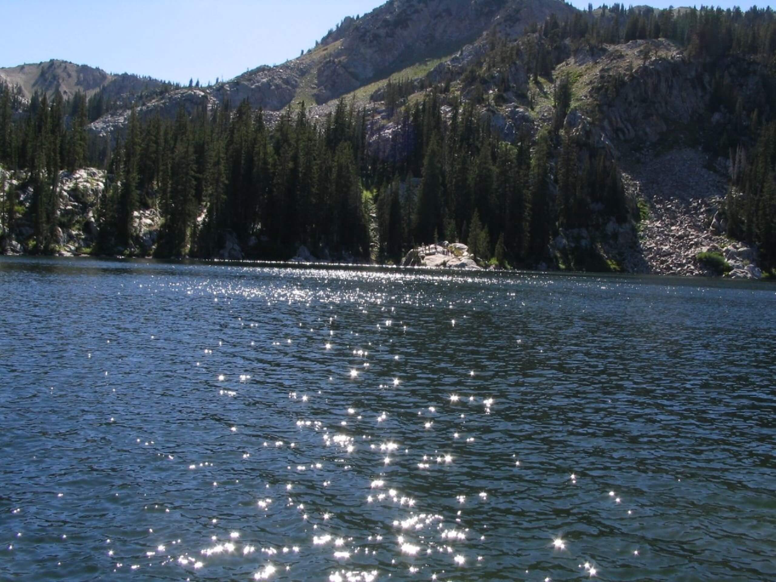
Sunset Peak via Brighton Lakes Trail
Difficulty Rating:
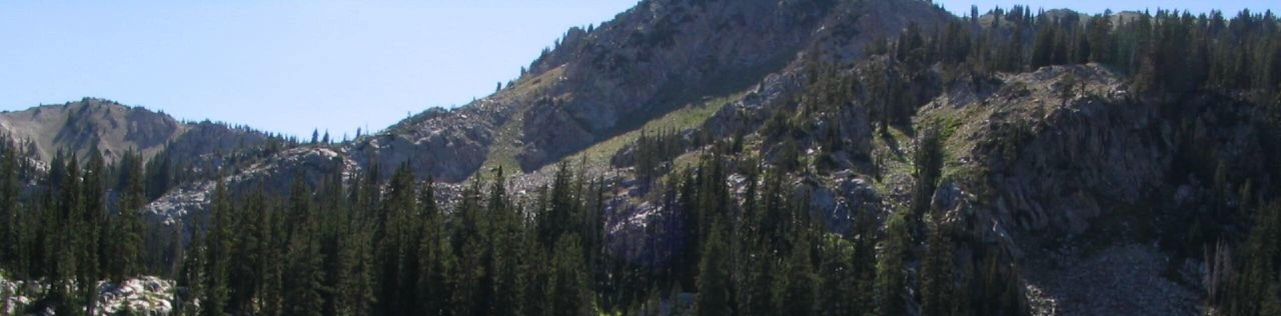
Sunset Peak via the Brighton Lakes trail is a popular hiking route with stunning views in the Brighton Ski Area, east of Salt Lake City. This trail passes by three pristine alpine lakes, Lake Mary, Lake Martha, and Lake Catherine, en route to the top of Sunset Peak. It is a steep and consistent climb to the summit, but we promise the views from the top are totally worth it.
Getting there
This hike begins at the Brighton Lakes Trailhead at the Brighton Resort east of Salt Lake City, Utah.

About
| Backcountry Campground | No |
| When to do | May to October |
| Pets allowed | No |
| Family friendly | Older Children only |
| Route Signage | Average |
| Crowd Levels | High |
| Route Type | Out and back |
Sunset Peak via Brighton Lakes Trail
Elevation Graph
Weather
Sunset Peak via Brighton Lakes Trail Description
The Sunset Peak via Brighton Lakes Trail is a gorgeous out-and-back hiking route east of Salt Lake City. This trail is moderately challenging, with a steep and consistent climb up to the summit. Proper hiking footwear is essential, and we recommend bringing along a set of hiking poles to aid in your ascent. The Brighton Lakes Trail is one of the most popular hiking routes in the area; arrive early to beat the crowds or head out in the evening to enjoy the trail at sunset. This route is an excellent place to see forest wildlife such as moose, deer, and songbirds who live near the Brighton Lakes. Although the pristine water of these alpine lakes may look tempting, swimming is not permitted as this area is part of a protected watershed. The views along the Brighton Lakes Trail and from the top of Sunset Peak are absolutely breathtaking. If you are up for a solid hike, this trail is not one to miss.
From the trailhead, follow the Brighton Lakes trail south. As you approach Lake Mary, the first and largest lake along this route, the trail will divide three times. Stay right at the first divide and left at the following two. After Lake Mary, continue south past Lake Martha to Lake Catherine. Just past Lake Catherine, at Catherine Pass, the trail will split into four; take the second path on your right to head south. At Sunset Pass, take the path on your right once again to head east to the top of Sunset Peak.
Take a well-deserved rest at the summit and enjoy the incredible views of the Brighton Lakes below. Then, when you are ready to head home, simply follow your footsteps back to the trailhead where you began.
Similar hikes to the Sunset Peak via Brighton Lakes Trail hike

Willow Hollow, Ridge, and Pine Hollow Trail
The Willow Hollow and Pine Hollow Trail is a beautiful route in the Uinta-Wasatch-Cache National Forest. This trail is an…

Solitude to Beaver Pond Trail
The Solitude to Beaver Ponds Trail is a beautiful hike through the Uinta-Wasatch-Cache National Forest. This trail is lush and…

City Creek Canyon Road
The City Creek Canyon Road is a popular trail just north of downtown Salt Lake City, Utah. This path is…
Comments