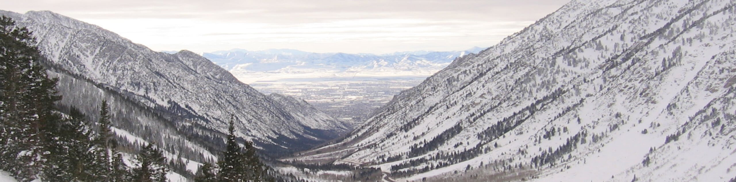
Snowbird Tram, Cecret Lake via Albion Basin
View Photos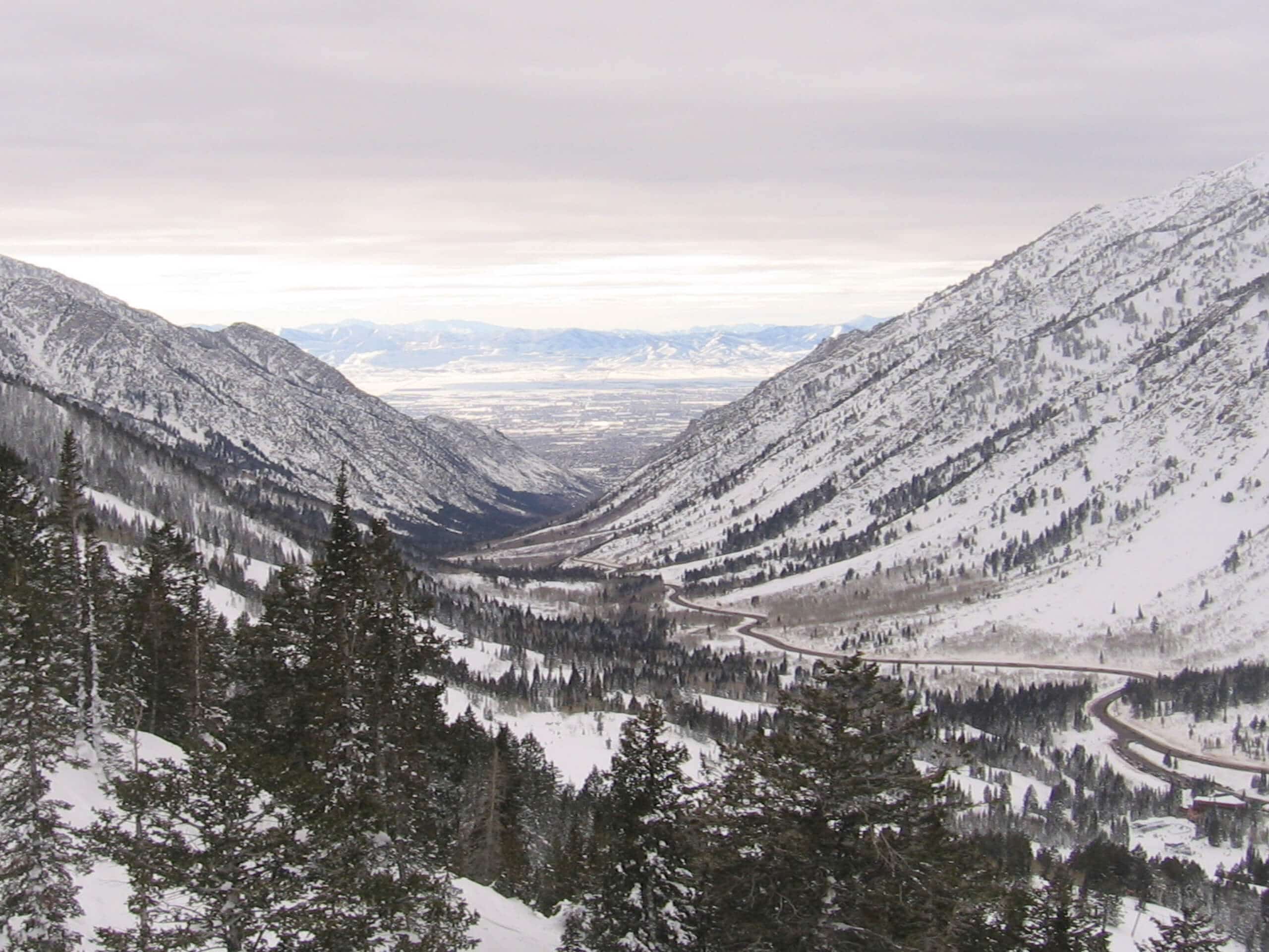
Snowbird Tram, Cecret Lake via Albion Basin
Difficulty Rating:
The Snowbird Tram, Cecret Lake Trail via Albion Basin is a gorgeous hike in the Snowbird Ski Resort. This point-to-point trail can be tricky to find but it is absolutely beautiful. We recommend heading out on this trail in early summer when the Utah wildflowers are in full bloom.
Getting there
This hike begins at the top of the aerial tramline in the Snowbird Ski area and ends at the Snowbird Resort.

About
| Backcountry Campground | No |
| When to do | July to September |
| Pets allowed | No |
| Family friendly | Older Children only |
| Route Signage | Poor |
| Crowd Levels | Low |
| Route Type | One Way |
Snowbird Tram, Cecret Lake via Albion Basin
Elevation Graph
Weather
Snowbird Tram, Cecret Lake via Albion Basin Description
The Snowbird Tram, Cecret Lake Trail via Albion Basin is a gorgeous point-to-point hike in the Snowbird and Alta Ski areas east of Salt Lake City. This trail is challenging when it comes to route finding. We recommend downloading a map ahead of time and having a phone or GPS with you to stay on route. Proper, supportive hiking shoes are necessary for this trail, and hiking poles can be a huge help to save your knees some strain on the descents. Overall, this trail is absolutely beautiful. We suggest hiking this route in the summertime when the wildflowers that this area is known for are in full bloom.
From the top of the Aerial Tramline, follow the path east over the top of Mount Baldy before winding your way down to Cecret Lake. From Cecret Lake, follow the Cecret Lake Trail west before heading north along the Albion Meadows Trail. From the Albion Meadows Trail, head west along East Perruvian Acre Road, then the Alta Bypass Road and Creek Road all the way to the trail’s end at the Snowbird Ski Resort.
Similar hikes to the Snowbird Tram, Cecret Lake via Albion Basin hike

Willow Hollow, Ridge, and Pine Hollow Trail
The Willow Hollow and Pine Hollow Trail is a beautiful route in the Uinta-Wasatch-Cache National Forest. This trail is an…

Solitude to Beaver Pond Trail
The Solitude to Beaver Ponds Trail is a beautiful hike through the Uinta-Wasatch-Cache National Forest. This trail is lush and…

City Creek Canyon Road
The City Creek Canyon Road is a popular trail just north of downtown Salt Lake City, Utah. This path is…
Comments