Mount Van Cott Trail
View Photos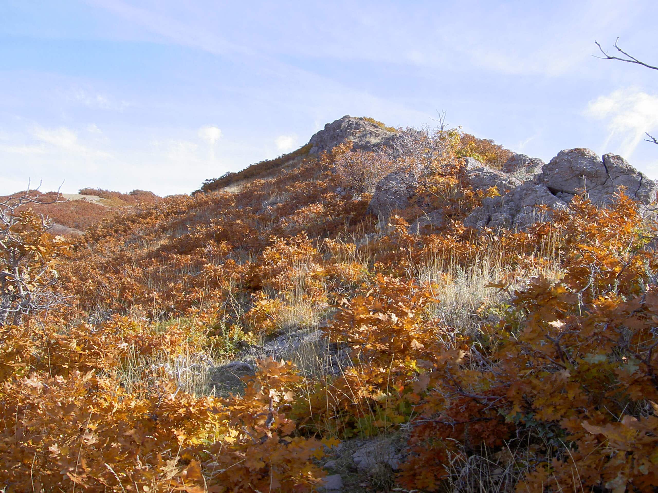
Mount Van Cott Trail
Difficulty Rating:
The Mount Van Cott Trail is a beautiful, moderately challenging hike just north of the University of Utah. Whether you’re taking a study break, celebrating the end of exams, or just looking for a fun hike, this is a great trail for you. This route winds up the side of Mount Van Cott to earn you fantastic views of the Red Butte Wilderness Area and Salt Lake City.
Getting there
From the north end of Mario Cappechi Drive, take a right onto North Medical Drive followed by your first left. The trailhead for this hike is at the north end of the large parking lot.

About
| Backcountry Campground | No |
| When to do | Year-Round |
| Pets allowed | Yes - On Leash |
| Family friendly | Older Children only |
| Route Signage | Average |
| Crowd Levels | Moderate |
| Route Type | Out and back |
Mount Van Cott Trail
Elevation Graph
Weather
Mount Van Cott Trail Description
The Mount Van Cott Trail is a moderately challenging hike up to the summit of Mount Van Cott. This trail is a consistent uphill climb, so be prepared with proper, supportive footwear and plenty of water. Hiking poles or a walking stick are also great to bring along on this trail, especially to help on the descent. Dogs are allowed to join you on this hike but they must be kept on leash the entire time.
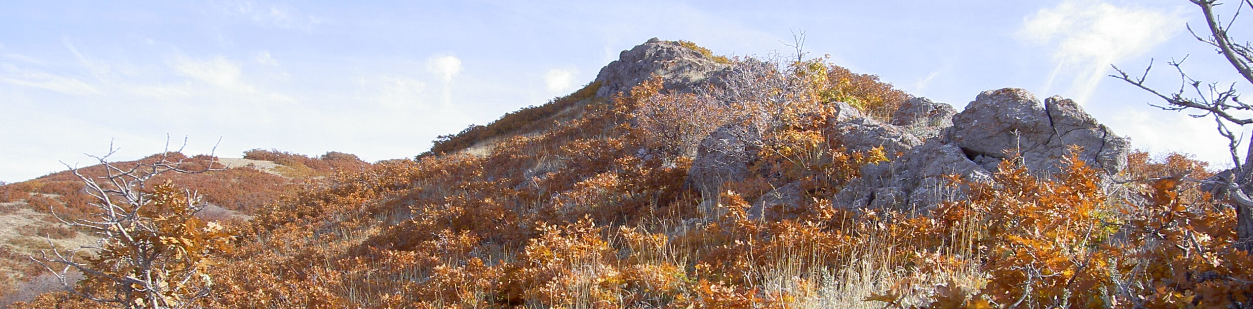
The views from the top of Mount Van Cott are absolutely stunning and well worth the hike up. From the summit, you will earn an incredible look at Salt Lake City, the University of Utah Campus, and the surrounding peaks.
From the parking lot, head through the gate at the north end and follow the signs that guide you through the trail network towards Mount Van Cott. The trail will gradually get steeper as you emerge from the trail network and approach the summit.
At the top, take a well deserved rest and soak in the incredible views of the city below, before turning around and following the same route back to the University of Utah Campus.
Similar hikes to the Mount Van Cott Trail hike

Willow Hollow, Ridge, and Pine Hollow Trail
The Willow Hollow and Pine Hollow Trail is a beautiful route in the Uinta-Wasatch-Cache National Forest. This trail is an…

Solitude to Beaver Pond Trail
The Solitude to Beaver Ponds Trail is a beautiful hike through the Uinta-Wasatch-Cache National Forest. This trail is lush and…

City Creek Canyon Road
The City Creek Canyon Road is a popular trail just north of downtown Salt Lake City, Utah. This path is…
Comments