Kessler Peak Trail
View Photos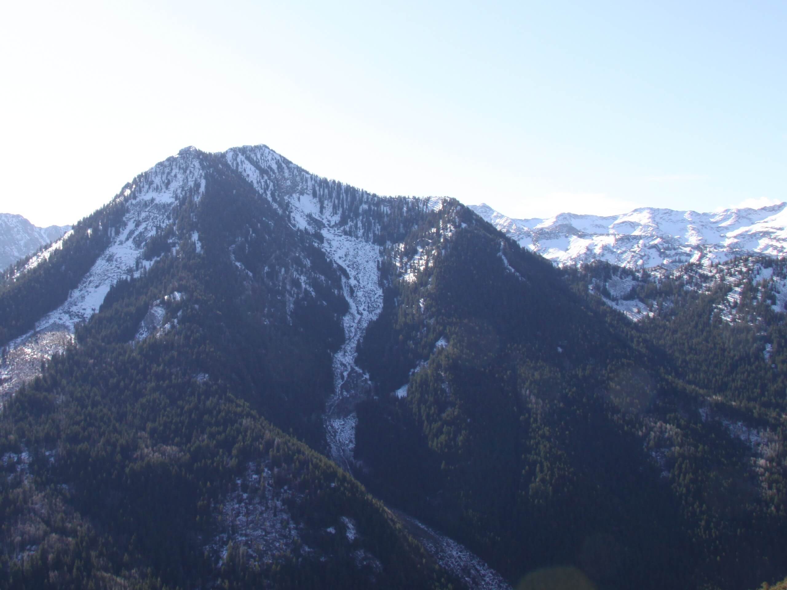
Kessler Peak Trail
Difficulty Rating:
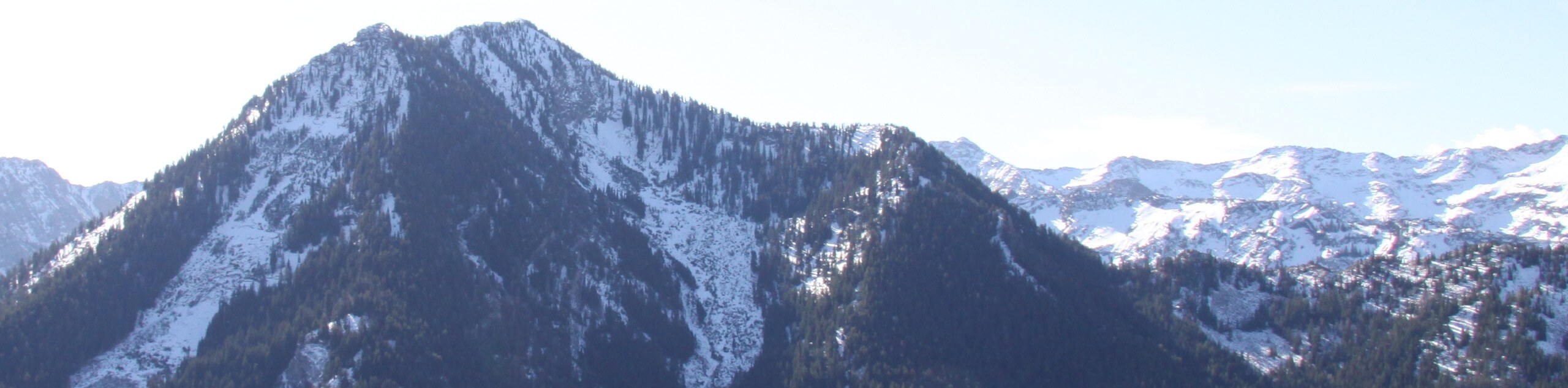
The Kessler Peak Trail is a challenging hike in the Uinta-Wasatch-Cache National Forest east of Salt Lake City. Believe us when we say that this hike is steep, seriously steep. The Kessler Peak Trail is guaranteed to give you a solid workout but the views along the trail and from the top make all the hard work totally worth it.
Getting there
The Kessler Peak Trail begins at the Donut Falls Summer Trailhead at the south end of Cardiff Fork Road off of Highway 190/Big Cottonwood Canyon Road approximately 9.0mi east of Salt Lake City.

About
| Backcountry Campground | No |
| When to do | May to October |
| Pets allowed | No |
| Family friendly | No |
| Route Signage | Average |
| Crowd Levels | High |
| Route Type | Lollipop |
Kessler Peak Trail
Elevation Graph
Weather
Kessler Peak Trail Description
The Kessler Peak Trail is a gorgeous hike east of Salt Lake City, Utah. This trail is a challenging route for experienced hikers. The consistent, steep climb to the summit will leave your legs burning and your heart pumping, but the views from the top are totally worth it. Arrive prepared with proper hiking footwear, hiking poles, and lots of snacks and water and this trail can be a fantastic time. From the top of Kessler Peak, you will earn yourself panoramic views of Big Cottonwood Canyon, Little Cottonwood Canyon, and the surrounding peaks.
To hike the Kessler Peak Trail, begin at the Donut Falls Summer Trailhead at the south end of Cardiff Fork Road. Follow the trail on your right for half a mile, then take a right onto the Kessler Peak Trail to head southwest to the top of Kessler Peak.
Take a long rest at the summit and soak in the incredible 360-degree views of the Utah Landscape before heading down. On the way back down, you can either retrace your steps or take a slightly different return route along the Donut Falls Trail.
Similar hikes to the Kessler Peak Trail hike

Willow Hollow, Ridge, and Pine Hollow Trail
The Willow Hollow and Pine Hollow Trail is a beautiful route in the Uinta-Wasatch-Cache National Forest. This trail is an…

Solitude to Beaver Pond Trail
The Solitude to Beaver Ponds Trail is a beautiful hike through the Uinta-Wasatch-Cache National Forest. This trail is lush and…

City Creek Canyon Road
The City Creek Canyon Road is a popular trail just north of downtown Salt Lake City, Utah. This path is…
Comments