Gobblers Knob via Alexander Basin
View Photos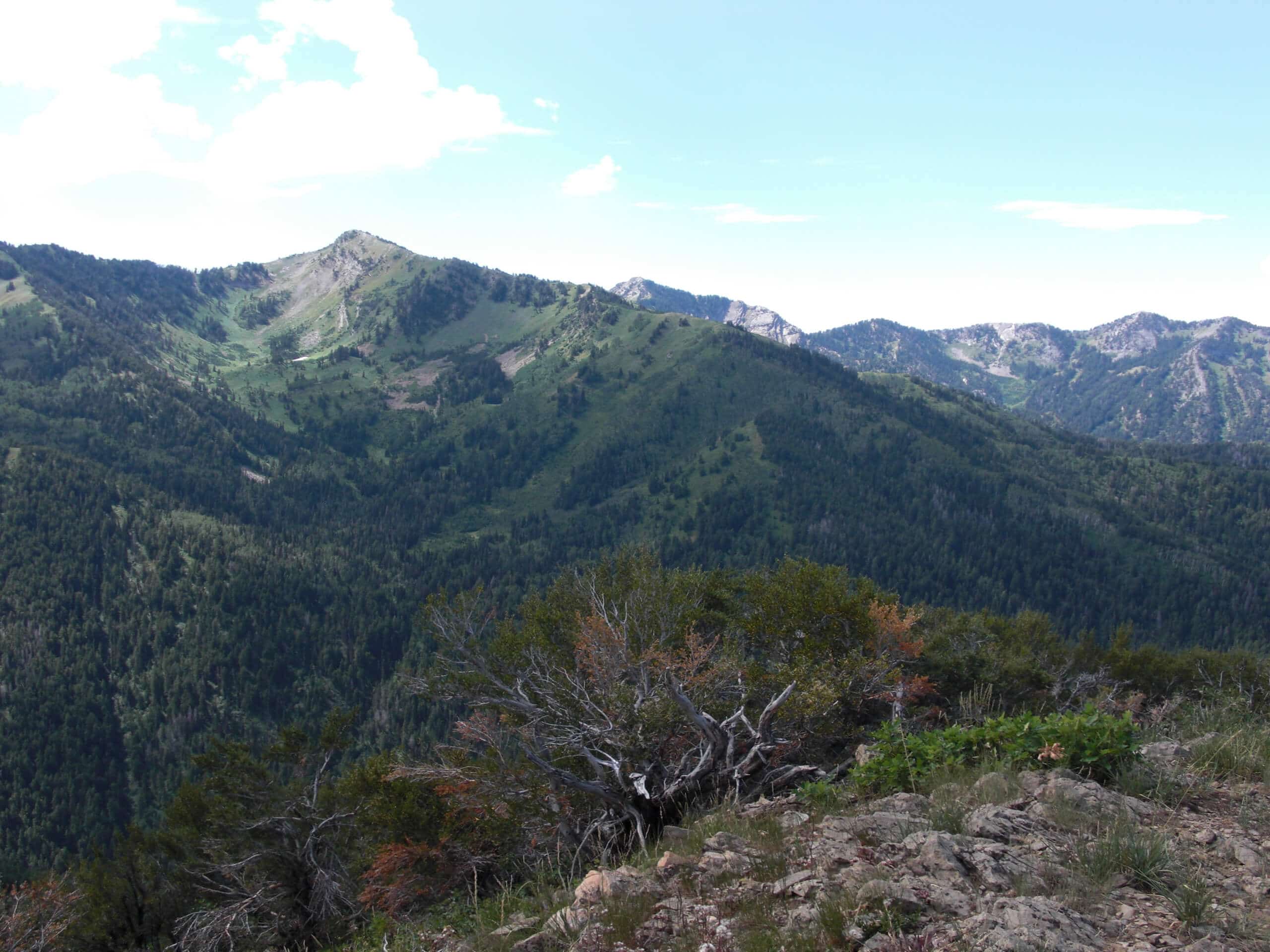
Gobblers Knob via Alexander Basin
Difficulty Rating:
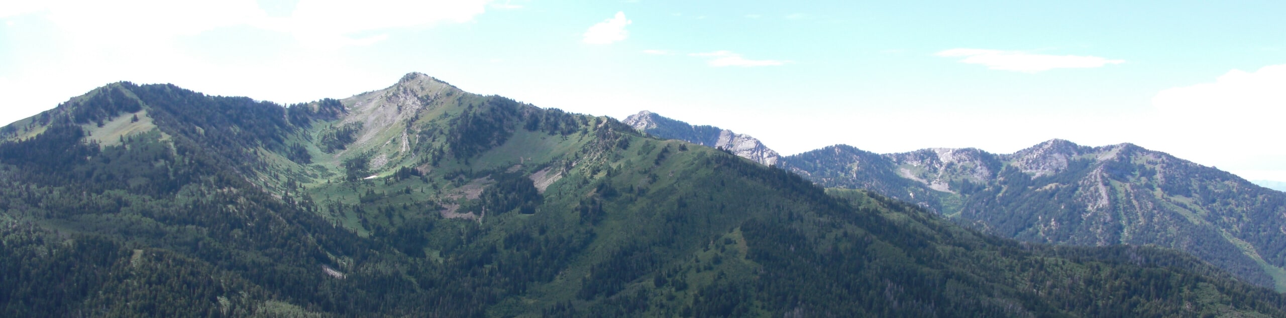
The Gobblers Knob via Alexander Basin trail is a steep hike to the summit of Gobblers Knob in the Wasatch Mountain Range. This mountain is the highest point on the ridge that separates Big Cottonwood Canyon and Mill Creek Canyon and the hike up is no joke. The steep and consistent climb up to the summit will leave your legs burning and your heart pumping but we promise the hard work is worth it—the views from the top are absolutely breathtaking.
Getting there
This hike begins at the Alexander Basin Trailhead on Mill Creek Canyon Road, east of Salt Lake City.

About
| Backcountry Campground | No |
| When to do | May to December |
| Pets allowed | Yes - On Leash |
| Family friendly | No |
| Route Signage | Average |
| Crowd Levels | Moderate |
| Route Type | Out and back |
Gobblers Knob via Alexander Basin
Elevation Graph
Weather
Gobblers Knob via Alexander Basin Description
The hike up to Gobblers Knob via Alexander Basin is a fantastic challenge for experienced hikers. This trail is a steep and steady climb all the way to the top. Be prepared with proper footwear, hiking poles and plenty of water. Pups are allowed to join you on this trail but must be kept on leash at all times.
If you’re up for the challenge, Gobblers Knob via Alexander Basin is a richly rewarding experience. This trail is covered with wildflowers and is usually fairly quiet. If the hike up doesn’t leave you breathless, the summit views sure will. Gobblers Knob is the highest point along this ridge, and from the top you will earn incredible views of Salt Lake City to the west, and the Tri-Canyons of Millcreek, Big Cottonwood, and Little Cottonwood below.
From the Alexander Basin Trailhead, follow the path to the west as it curves southward. Approximately 0.9mi in the trail will divide, stay left and continue south for another 1.3mi to the summit.
Take a well deserved break at the top of Gobblers Knob and soak in the incredible views of the Utah landscape below.
When you are ready to head back, simply follow the same route back to the trailhead. Take your time on the descent and use your hiking poles for stability along the steep sections to arrive at the trailhead safely.
Frequently Asked Questions
How high is Gobblers Knob?
Gobblers Knob is 10246ft tall. On the Gobblers Knob via Alexander Basin trail, you will ascend just over 3000ft to the summit.
Insider Hints
This route is steep, hiking poles are strongly recommended.
Dogs are permitted on this trail but must be kept on leash at all times.
It can get windy and chilly at the summit—bring an extra layer to throw on at the top so you can enjoy the views in comfort (and style).
Similar hikes to the Gobblers Knob via Alexander Basin hike

Willow Hollow, Ridge, and Pine Hollow Trail
The Willow Hollow and Pine Hollow Trail is a beautiful route in the Uinta-Wasatch-Cache National Forest. This trail is an…

Solitude to Beaver Pond Trail
The Solitude to Beaver Ponds Trail is a beautiful hike through the Uinta-Wasatch-Cache National Forest. This trail is lush and…

City Creek Canyon Road
The City Creek Canyon Road is a popular trail just north of downtown Salt Lake City, Utah. This path is…
Comments